


4 min walk
Old Dispensary
- Must see · Heritage site
- Historic monument
Language · 11 published
Historic monument · Zanzibar City
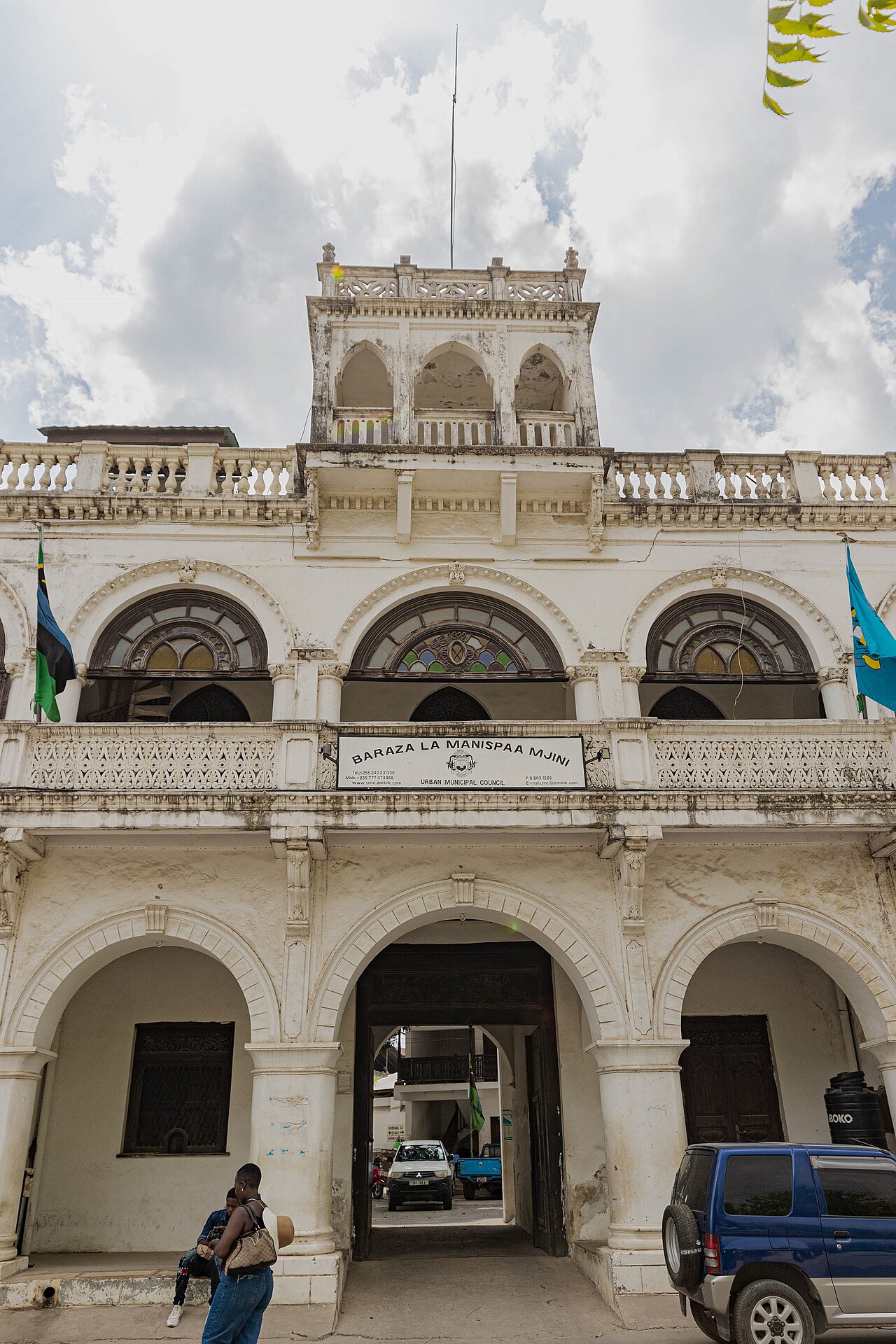
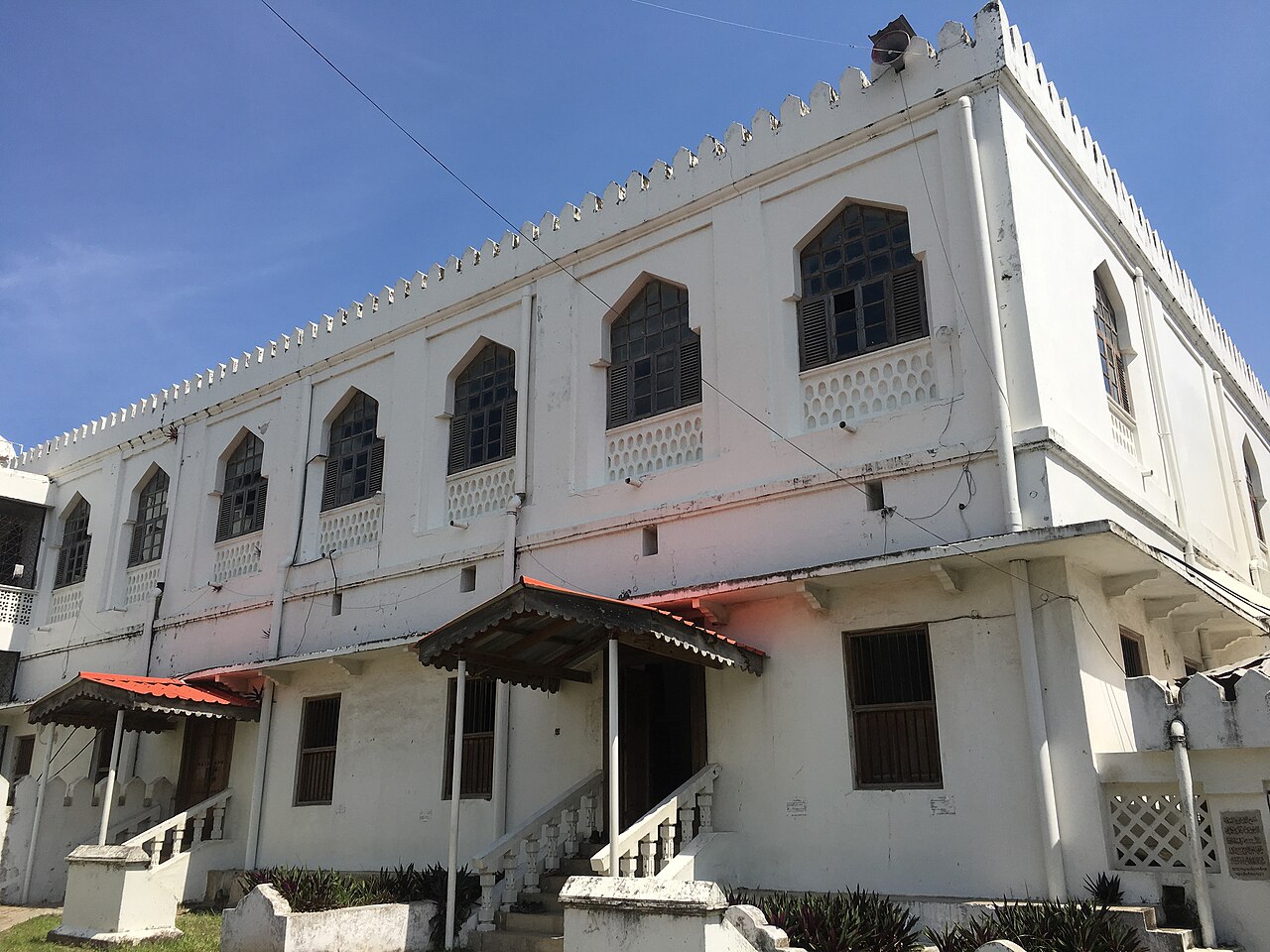
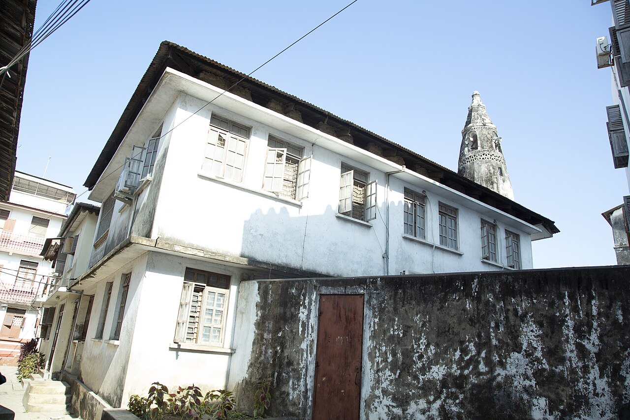
Bharmal Building is a historic structure on Stone Town’s reclaimed civic edge in Zanzibar City. Its architecture belongs to the layered urban character created by Swahili, Arab, Indian and European influences. The building is especially useful for travelers interested in how Indian merchant communities contributed to Zanzibar’s commercial, administrative and civic landscape. Treat it as part of Stone Town’s living streetscape: its importance comes from its place in the wider town, its architectural presence and the history carried by the surrounding waterfront district. The Bharmal Building is a historic municipal structure located in Stone Town, Zanzibar City. It stands as a notable example of Indian-merchant architectural contribution to the reclaimed civic edge of this UNESCO World Heritage Site. The building reflects the commercial and administrative heritage of Zanzibar during the period of Indian mercantile influence. Its presence along the civic edge demonstrates the layered cultural and economic history that shaped Stone Town's distinctive urban character. Visitors should rely on direct observation or local inquiry.
Checked 2026-08-26 · Source
The visitor experience centers on the exterior and its relationship with Stone Town’s civic edge. The building is best understood alongside nearby streets, waterfront spaces and other merchant-era facades rather than as a conventional museum with a displayed collection. Walk around the public-facing elevations, look at the proportions and materials, and place the building within the dense historic townscape. The surrounding urban fabric provides the context that makes this landmark rewarding for architecture and history enthusiasts.
Checked 2026-08-26 · Source

Plan a short stop of several minutes for exterior viewing and photographs. The building works best as one point in a longer Stone Town walk, especially if you are already exploring the waterfront and historic civic quarter. Travelers fascinated by Indian-merchant architecture may spend longer studying the facade and comparing it with neighboring buildings. A half-day walking route gives enough time to place Bharmal Building within the broader history of Stone Town without making it the sole destination.
Checked 2026-08-26 · Source
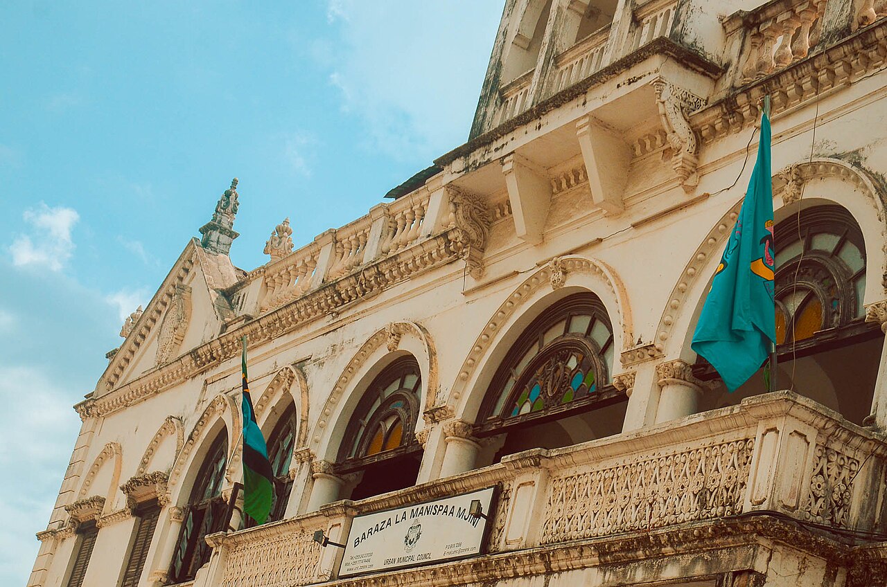
Visit during daylight while walking through Stone Town’s civic and waterfront areas. Early morning and late afternoon are comfortable periods for exploring Zanzibar City on foot, with softer light for architectural details. Tropical humidity and seasonal rain can make exposed streets tiring, so carry water and allow flexibility in your walking route. The building is most rewarding when the surrounding streets are active enough to show Stone Town as a living neighborhood, while still leaving room to pause safely.
Checked 2026-08-26 · Source
Bharmal Building is a public-streetscape landmark rather than a separately ticketed attraction. Exterior viewing forms part of an ordinary walk through Stone Town’s civic edge. The surrounding quarter includes commercial streets and other heritage buildings where spending may be part of the wider outing, but the building itself is experienced from the public realm. Bring Tanzanian shillings for ordinary purchases in Stone Town and keep the visit focused on the architecture and urban setting.
Checked 2026-08-26 · Source
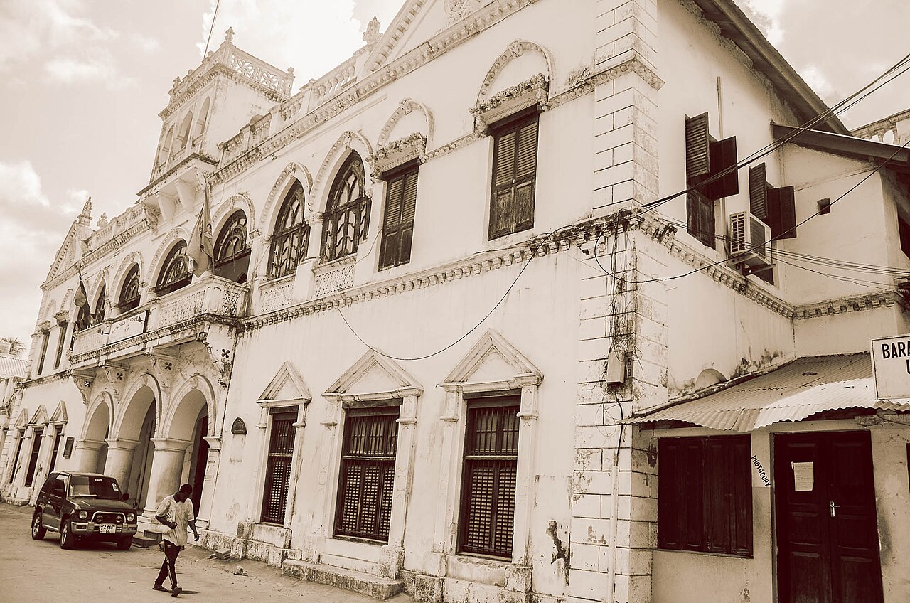
Reach Bharmal Building on foot from central Stone Town or the ferry terminal. Zanzibar City’s historic core has a compact but intricate street network, and walking is the clearest way to understand its buildings. The reclaimed civic edge connects naturally with waterfront routes and the older commercial lanes. Use the OpenStreetMap location as your starting point, then orient yourself by the shoreline and surrounding civic buildings. From farther away, arrive in Stone Town by ferry or travel from Abeid Amani Karume International Airport before continuing on foot.
Checked 2026-08-26 · Source

Stay on public thoroughfares and give space to residents, workers and active businesses around the building. Stone Town streets can be narrow, busy and uneven, especially after rain. Do not walk through an unmarked doorway or treat a building interior as public simply because the facade is historic. Watch traffic and drainage along the civic edge, secure valuables in crowded areas, and keep photography considerate of private spaces. Comfortable shoes are more useful than rushing between closely spaced landmarks.
Checked 2026-08-26 · Source
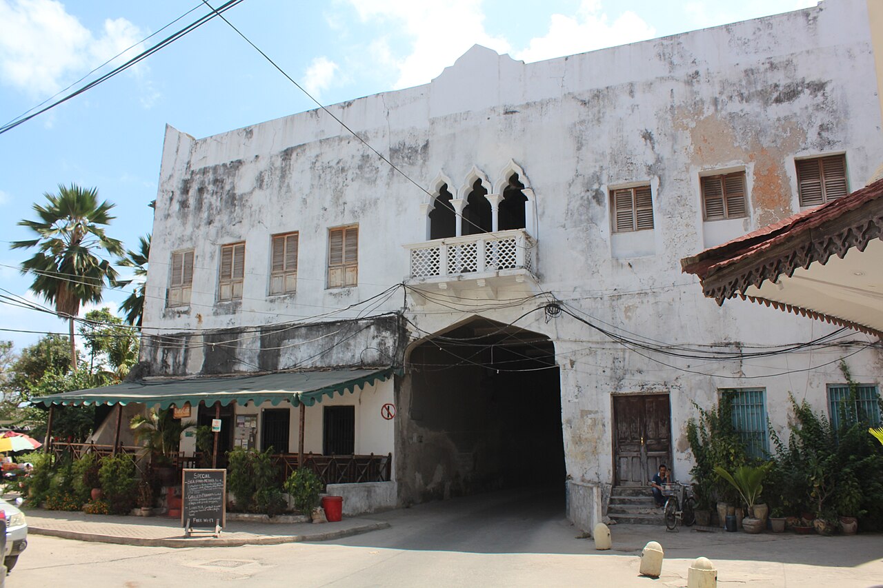
Photograph Bharmal Building from public viewpoints along the surrounding streets. Include neighboring facades, paving and the civic waterfront to show how the structure fits into Stone Town’s historic composition. Morning or late-afternoon light can bring out surface texture and create gentler contrast in the tropical setting. A wide lens helps with the dense streetscape, while a normal lens records architectural details without exaggeration. Keep equipment compact, avoid obstructing pedestrians, and respect adjacent private or active spaces.
Checked 2026-08-26 · Source
Bharmal Building is known for its historic presence on Stone Town’s reclaimed civic edge and for reflecting the contribution of Indian merchant communities to Zanzibar’s civic and commercial heritage.
The visit focuses on the building’s exterior, architectural character and relationship with Stone Town’s surrounding civic, commercial and waterfront streets.
Allow several minutes for exterior observation and photography, then continue through Stone Town’s wider heritage streets and civic waterfront.
Walk from central Stone Town or the ferry terminal through the historic street network toward the reclaimed civic edge.
Early morning and late afternoon provide daylight for exterior viewing and softer conditions for photographing the historic facade and nearby streets.
Yes. The building forms part of Stone Town’s layered historic urban fabric, where merchant-era architecture, civic spaces and waterfront routes meet.
Loading the interactive map…
The interactive map could not be loaded.
Last updated:
Source: OpenStreetMap contributors ·