


7 min walk
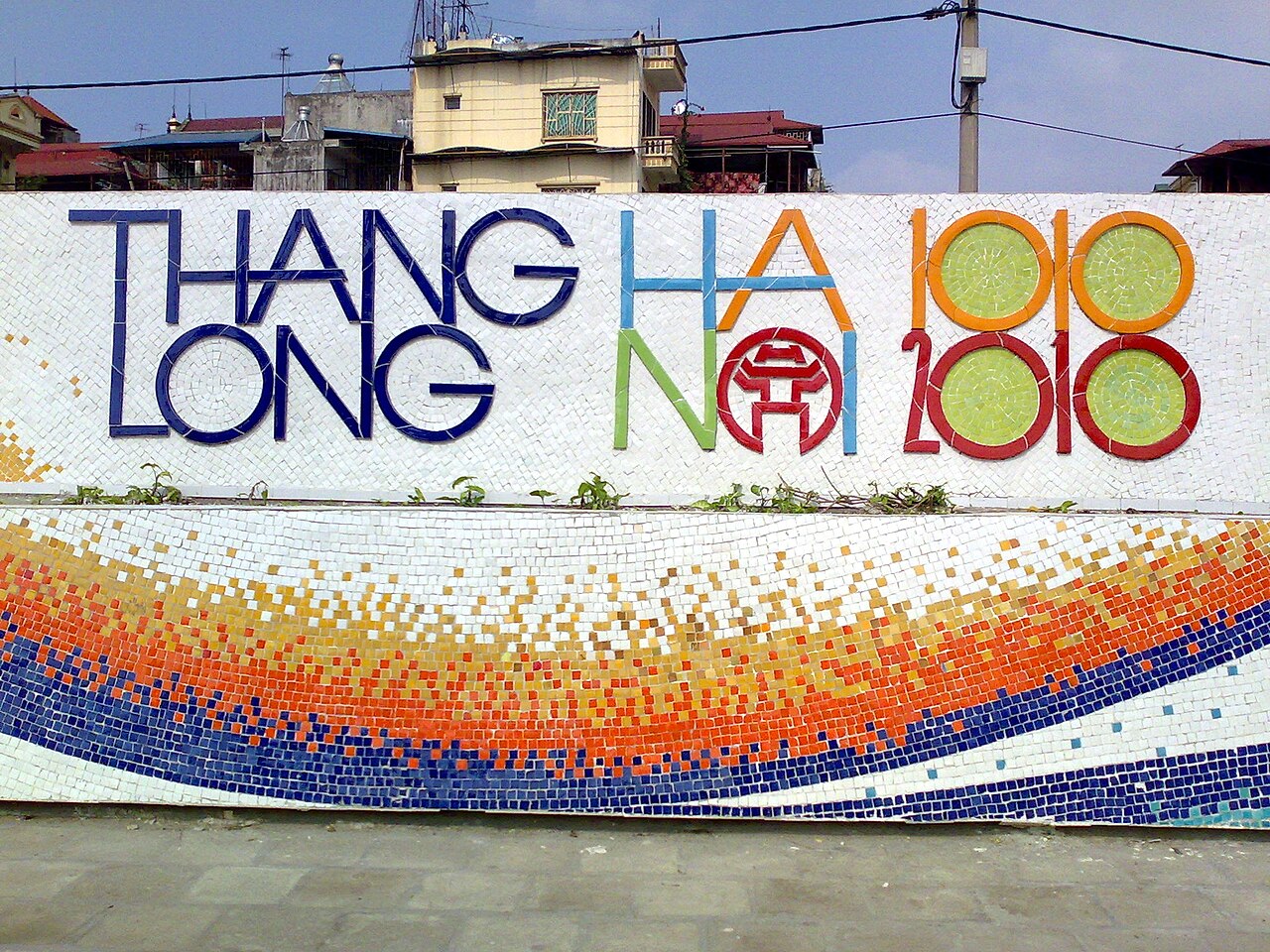
Con đường gốm sứ Hà Nội
- Must see
- Art and culture venue
Language · 11 published
Historic monument · Hanoi

| Monday | 00:00 – 23:59 |
|---|---|
| Tuesday | 00:00 – 23:59 |
| Wednesday | 00:00 – 23:59 |
| Thursday | 00:00 – 23:59 |
| Friday | 00:00 – 23:59 |
| Saturday | 00:00 – 23:59 |
| Sunday | 00:00 – 23:59 |
Checked 2026-08-31 · Source
Read from the OpenStreetMap access tags; anything not listed has no tag recorded.
Set the group type to family in the planner and the day window contracts to about three quarters of a solo day.
Long Bien Bridge is a historic cantilever bridge across the Red River in Hanoi, Vietnam. Constructed during the French colonial period, it was designed by Gustave Eiffel's company and completed in the early twentieth century. The bridge has survived multiple conflicts and remains a significant piece of industrial heritage. Its distinctive steel structure spans approximately 1. 7 kilometers with multiple spans supported by stone piers. The bridge carries both rail and limited road traffic, functioning as a vital transportation link while attracting visitors interested in its historical significance.
Checked 2026-08-31 · Source
The bridge structure itself consists of steel trusses, stone piers, and a railway track running through its center. Pedestrian walkways run along both sides, separated from the railway by metal barriers. The surrounding area includes riverbank access points and views of the Red River. Nearby on the northern bank, a small informal market area has developed. The bridge offers expansive views of the river, surrounding countryside, and Hanoi's urban development. No enclosed buildings, visitor centers, or interpretive installations exist on the structure.
Checked 2026-08-31 · Source
A complete crossing on foot takes approximately twenty to thirty minutes at a moderate pace, depending on photography stops and traffic awareness. Visitors typically spend between forty minutes and one hour total, including time to observe river views and wait for train passages. The experience suits brief visits rather than extended stays, as no seating, shade structures, or amenities exist on the bridge itself. Many travelers combine the visit with exploration of the surrounding Long Bien district or nearby attractions on either riverbank.
Checked 2026-08-31 · Source

Open continuously as a public crossing; no visitor opening-hour schedule or weekly closure day applies. The bridge reopened in both directions at 00:00 on 28 May 2026 after a two-month repair closure. Pedestrians, bicycles, motorcycles and other permitted non-motorized vehicles may use the side lanes; temporary safety closures remain possible under official traffic orders. Early morning and late afternoon offer softer light for observation and generally reduced motorbike traffic. Midday brings stronger sun exposure with limited shade on the structure. The wet season may affect river levels and atmospheric conditions. Visitors should verify current access conditions locally, as maintenance activities or safety measures could restrict pedestrian passage without advance notice.
Checked 2026-08-31 · Source
Free. Long Bien Bridge is an operating public road-and-rail crossing rather than a ticketed attraction; there is no general-admission charge. No ticket infrastructure or controlled access points exist for pedestrian use. The bridge operates as public transportation infrastructure rather than a managed attraction. Visitors should not expect to encounter admission fees for walking access. Any requests for payment from unofficial sources should be treated with caution. Railway use requires valid train tickets through standard booking channels. Budget considerations are limited to transportation to reach the bridge and any refreshments from surrounding vendors.
Checked 2026-08-31 · Source
Approach from the western end beside Long Bien Railway Station and the Long Bien bus interchange. Hanoi's official bus system lists Long Bien as the terminus for routes including 04, 08A, 08B, 17, 24, 47A, 50, 54, 65, 69 and 100; route 17 connects Long Bien with Noi Bai Airport. From the interchange, continue toward the bridge entrance at Tran Nhat Duat. Cars cannot cross the bridge; use Chuong Duong Bridge for a road crossing by car. The bridge connects central Hanoi near Hoan Kiem district with Long Bien district across the Red River. Access points exist at both ends. The southern terminus lies within walking distance of Hanoi's Old Quarter. Public buses serve approaches on both banks. Motorbike taxis and ride-hailing services operate in the area. Cyclists can cross using designated lanes. Railway passengers may traverse the bridge on trains serving northern routes.
Checked 2026-08-31 · Source

The bridge is reached via sloping road approaches rather than a visitor entrance with steps. The official city description gives the pedestrian strip as only 0. 4 metres wide beside active traffic, making it unsuitable for many wheelchairs and mobility scooters. The 2026 works repaired the pedestrian sections, replaced damaged slabs and railings, and reopened both side lanes, but the bridge has no protected modern accessible route. There are no visitor toilets, lifts, staffed assistance points or dedicated accessible parking facilities on the bridge. Active railway traffic passes through the bridge center without dedicated pedestrian barriers beyond basic railings. Trains announce approach with limited warning. Motorbike and bicycle traffic shares narrow pathways, creating collision risk. Surface conditions include metal grating, uneven planks, and gaps. No emergency services or shelter exist on the structure. Night crossing requires personal lighting as overhead illumination is minimal. Strong winds affect exposed sections. Visitors should secure belongings against river gusts.
Checked 2026-08-31 · Source
The bridge offers strong industrial and landscape photography potential. Optimal vantage points include mid-span views of the Red River, stone pier details, and train passages. Early morning provides atmospheric conditions with reduced haze. Sunset creates silhouette opportunities against the western sky. The metal structure generates graphic patterns suitable for detail work. Tripod use requires stability awareness due to vibration from traffic. Drone operation faces regulatory restrictions in urban Vietnam and should not be attempted without verified permits. Respect railway operations; never enter track areas for improved angles.
Checked 2026-08-31 · Source
Yes. It reopened to two-way traffic and pedestrians at 00:00 on 28 May 2026 after repairs to the road and pedestrian sections.
Pedestrians, bicycles, motorcycles and permitted non-motorized vehicles use the side lanes. The restored traffic plan does not permit cars or three-wheeled vehicles.
The side lanes use the bridge's unusual left-hand traffic arrangement, opposite the normal road pattern in Vietnam.
Yes. A single railway track runs through the centre and links the Hanoi–Dong Dang, Hanoi–Hai Phong and Hanoi–Lao Cai routes.
The river section is 2,290 metres long, with a further 896 metres of approaches. The structure has 19 steel spans supported by 20 piers.
Construction began in 1898 and finished in 1902. The bridge was originally called Paul Doumer Bridge and was built by Daydé & Pillé.
Loading the interactive map…
The interactive map could not be loaded.


Last updated:
Source: OpenStreetMap contributors ·