
4 min walk
Baksei Chamkrong
- Place of worship
Language · 11 published
Historic monument · Siem Reap
ប្រាសាទភ្នំបាខែង
| Monday | 05:00 – 19:00 |
|---|---|
| Tuesday | 05:00 – 19:00 |
| Wednesday | 05:00 – 19:00 |
| Thursday | 05:00 – 19:00 |
| Friday | 05:00 – 19:00 |
| Saturday | 05:00 – 19:00 |
| Sunday | 05:00 – 19:00 |
Checked 2026-08-31 · Source
Read from the OpenStreetMap access tags; anything not listed has no tag recorded.
Set the group type to family in the planner and the day window contracts to about three quarters of a solo day.
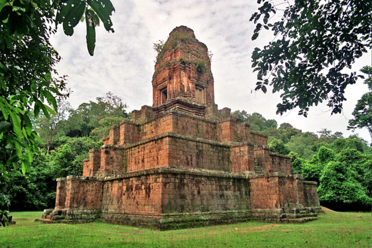
Phnom Bakheng is a Hindu and Buddhist temple constructed in the late ninth to early tenth century during the reign of King Yasovarman I. It stands as a state temple on a hill northwest of Angkor Wat, representing one of the earliest temple-mountain designs in the Angkor region. The site holds UNESCO World Heritage status as part of the Angkor complex. Its elevated position offers panoramic views across the surrounding forest and temple plains, making it a significant cultural and scenic landmark for visitors to Siem Reap.
Checked 2026-08-26
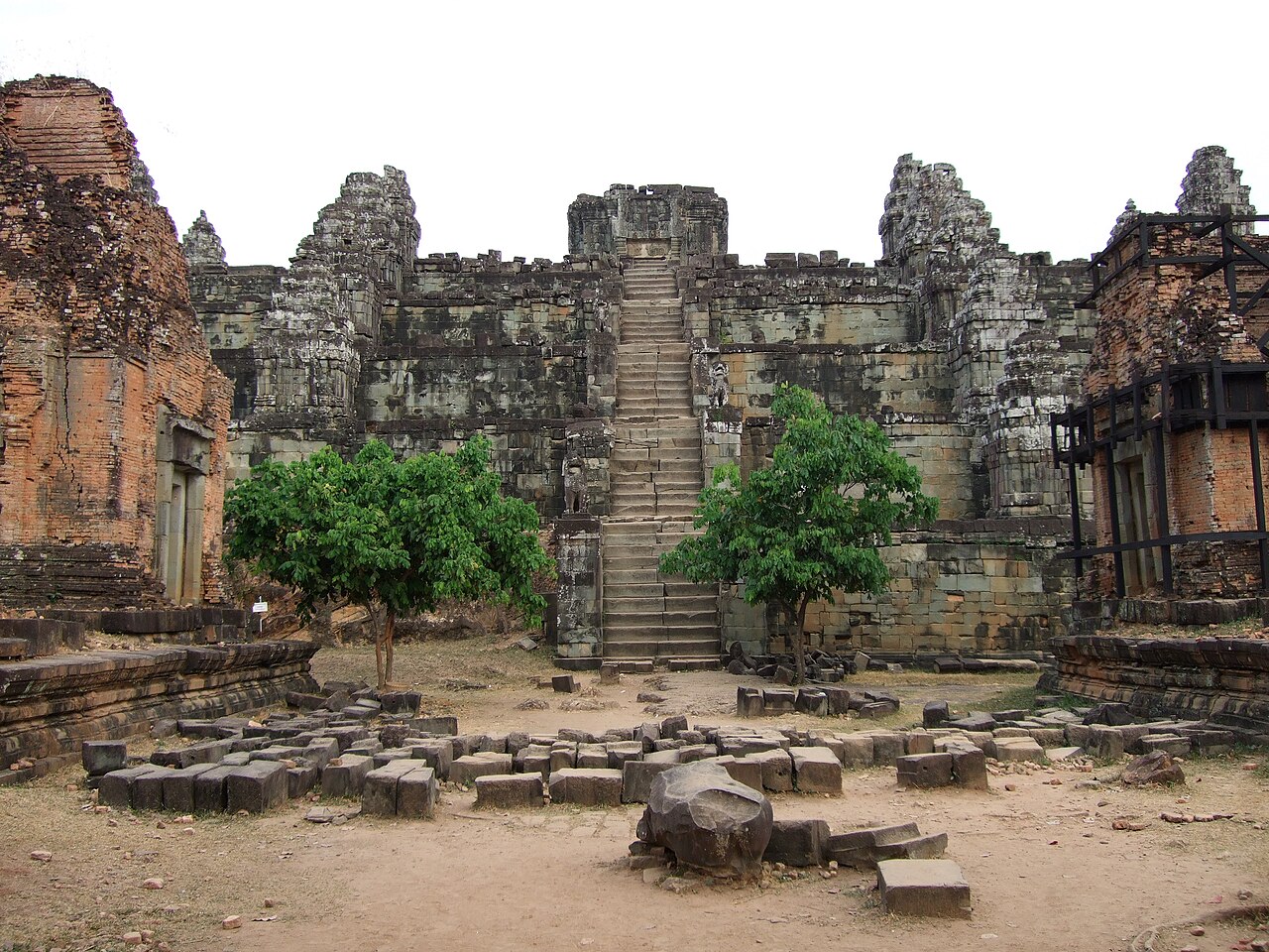
The temple features a stepped pyramid structure with five tiers and seven levels, symbolizing Mount Meru from Hindu cosmology. At the summit, ruins of a central sanctuary and surrounding towers remain visible. The base area includes former shrines and terrace structures. Much of the original stonework has weathered over centuries. The hill itself rises prominently above the flat terrain. Vegetation has encroached in portions of the complex. Visitors encounter ancient masonry, laterite blocks, and scattered architectural fragments throughout the ascent. Phnom Bakheng also earns time in a siem reap itinerary because WIKIDATA_PRODUCTION reconciliation for the ranked entry; identity and coordinates were verified without a nearby fallback. Its value becomes clearer when the stop is compared with the surrounding streets and the other ranked places nearby.
Checked 2026-08-26
A complete visit typically requires ninety minutes to two and a half hours depending on pace and interest. The climb from base to summit involves a moderately steep footpath of roughly twenty minutes for most visitors. Time at the summit for viewing and exploration adds substantially to the total. Sunset periods extend duration due to crowding and waiting. Those with limited mobility should allocate additional time. Early morning visits tend to proceed more quickly with fewer visitors present on the pathways.
Checked 2026-08-26
Dry season months from November through March generally offer more reliable conditions for the exposed climb and summit viewing. Wet season visits involve muddy trails and reduced visibility. Sunrise and sunset periods attract the largest numbers of visitors. Midday heat can be intense on the open hillside with minimal shade cover. Visitors should verify current access times with the APSARA National Authority or official tourism channels before planning their ascent to avoid disappointment. Check the operator's own site for the travel date before relying on a schedule or fare.
Checked 2026-08-26
Phnom Bakheng lies within the Angkor Archaeological Park and requires a valid park admission pass for entry. Passes are obtainable at official ticket centers outside the main temple complex. Multiple-day options exist for extended exploration. Specific pricing tiers apply to different visitor categories. Visitors must carry passes for inspection throughout the park zone. Additional fees or restrictions may apply during special circumstances or conservation periods. Purchase from authorized vendors only to ensure validity. Check the operator's own site for the travel date before relying on a schedule or fare.
Checked 2026-08-26
The temple hill sits approximately one and a half kilometers north of Angkor Wat's western entrance within the archaeological park. Most visitors arrive by hired tuk-tuk, bicycle, or as part of organized tours from Siem Reap town center roughly seven kilometers south. The final approach requires walking from the designated parking area. Signage along park roads indicates the turnoff. Motorbike taxi services operate throughout the area. Self-navigation by bicycle demands reasonable fitness for the return journey, particularly after sunset when road lighting is minimal.
Checked 2026-08-26
The stone pathway becomes slippery during and after rainfall, requiring sturdy footwear with adequate grip. Summit crowds during peak periods create congestion on narrow terraces with limited railing protection. The descent in darkness demands caution; carrying a light source is prudent. Wildlife including monkeys inhabits the forested slopes and may approach visitors aggressively when food is visible. Heat exposure poses genuine risk during midday climbs with no drinking water available on the hill itself. Adequate hydration before ascending is essential.
Checked 2026-08-26
The summit platform permits wide-angle landscape shots encompassing distant temple spires and forest canopy. Tripod use faces practical constraints from crowding and uneven stone surfaces. Morning light illuminates the eastern panorama while sunset concentrates visitor attention westward. The ancient masonry provides textural foreground interest. Flash photography of deteriorating surfaces raises conservation concerns and offers limited benefit. Drone operation falls under strict regulation within the World Heritage zone and requires explicit authorization. Respectful distance from religious remnants preserves both imagery quality and site dignity.
Checked 2026-08-26
Yes, Phnom Bakheng is the hill temple commonly visited for sunset views over the Angkor region.
No separate ticket exists; standard Angkor Archaeological Park admission covers entry to Phnom Bakheng.
The path is moderately steep and uneven, manageable for most visitors with reasonable fitness and proper footwear.
Not recorded.
Yes, sunrise visits are possible and typically involve fewer visitors than sunset periods.
The site holds historical religious significance; current active worship practices are not recorded.
Loading the interactive map…
The interactive map could not be loaded.
Last updated:
Source: OpenStreetMap contributors, Wikidata ·