.jpg)


59 min walk
Saklıkent Kanyonu
- High
- Historic monument
Language · 11 published
Nature site · Muğla
Saklıkent Millî Parkı
| Monday | 08:00 – 18:00 |
|---|---|
| Tuesday | 08:00 – 18:00 |
| Wednesday | 08:00 – 18:00 |
| Thursday | 08:00 – 18:00 |
| Friday | 08:00 – 18:00 |
| Saturday | 08:00 – 17:00 |
| Sunday | 08:30 – 17:00 |
Checked 2026-09-02 · Source
Read from the OpenStreetMap access tags; anything not listed has no tag recorded.
Set the group type to family in the planner and the day window contracts to about three quarters of a solo day.
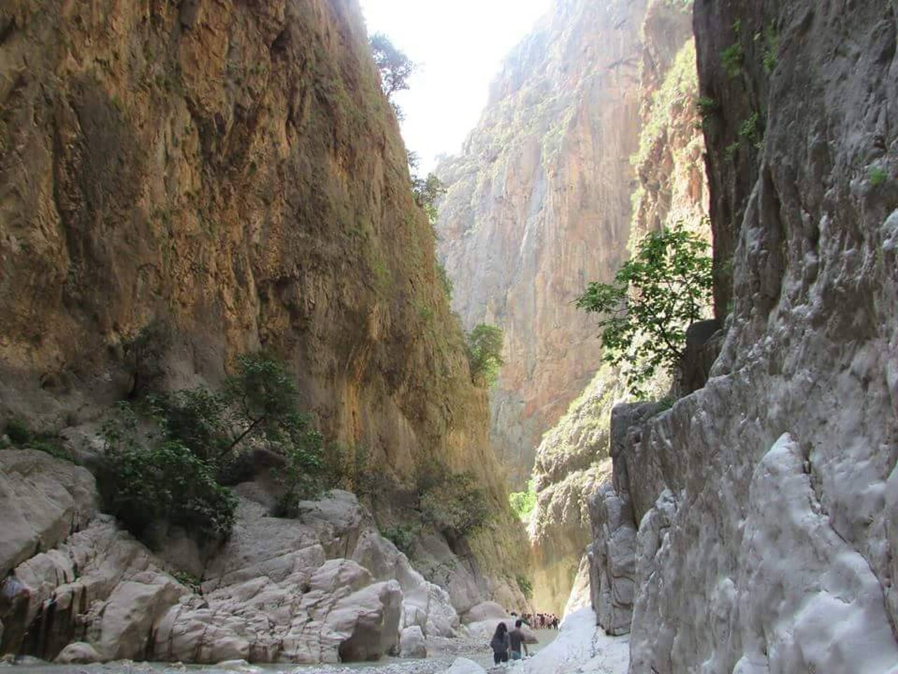
Saklıkent Canyon is a natural gorge in Seydikemer district of Muğla, close to the Antalya provincial border. It is approximately 18 kilometres long, and Karaçay, a branch of the Eşen River, flows through it. This is an outdoor route through moving water, uneven rock and high canyon walls, not a paved viewpoint or indoor exhibition. Visitors reach the gorge through a wooden staircase laid over a metal walkway. Rafting is also possible in the canyon’s waters, depending on conditions and arrangements. Saklıkent feels more like a short expedition than a conventional sightseeing stop. Saklıkent Canyon is in Seydikemer district of Muğla, close to the Antalya provincial border. The canyon is approximately 18 kilometres long. A normal visit covers the passable visitor section, not necessarily the entire canyon.
Checked 2026-09-02 · Source
The route begins at the entrance structure and continues into a cool gorge where water runs across rocky ground. The canyon itself is the attraction: dark walls, flowing Karaçay and changing light on wet stone replace exhibition rooms or museum displays. The 18-kilometre figure describes the whole canyon, not a guaranteed visitor walk. The distance visitors cover depends on water flow, footing and safety decisions that day. Expect a transition from engineered access to a natural stream route, with increasingly uneven surfaces and fewer walking conveniences. The setting suits visitors comfortable getting wet and moving carefully through an active landscape.
Checked 2026-09-02 · Source
Allow roughly two to three hours for a first visit, including the entrance approach, a careful walk into the water-filled section, photography pauses and the return. Progress is slower than on an ordinary trail because the route crosses running water and uneven rock. The outing may be shorter when weather or water conditions limit access, while rafting can extend the overall time. Do not plan to walk all 18 kilometres: that is the canyon’s total length, whereas a practical visit uses the accessible section permitted by conditions. Arrive early enough for a cautious return before closing, then allow time to dry wet clothing.
Checked 2026-09-02 · Source
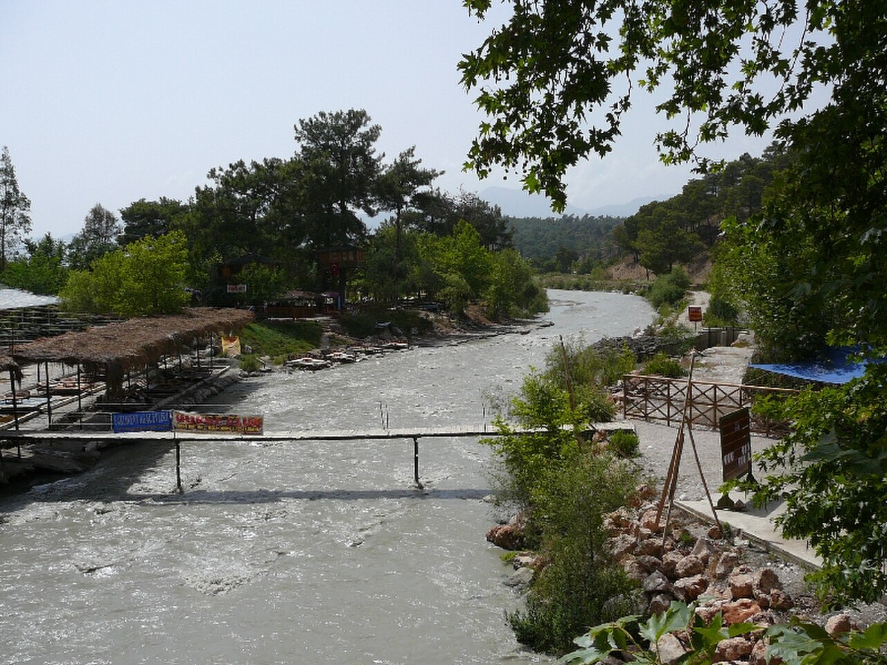
Choose settled, dry weather because the operator warns that Saklıkent Canyon may close for safety during rain. Morning provides a cooler start and more flexibility before the last entry period. Water flow and footing can change enough to shorten the passable route. Follow local safety decisions, allow time for a careful return and do not treat the timetable as a promise of full access after rainfall.
Checked 2026-09-02 · Source
Credit cards and the Müze Kart are not accepted, so carry Turkish lira and an alternative payment plan before reaching the entrance. Rafting is a separate activity choice, and its price is not supplied here. Rain can trigger a safety closure, so paying admission does not guarantee that the full route will be available.
Checked 2026-09-02 · Source
From the Fethiye–Antalya highway, take the turn towards Kemer. Official district directions place Tlos approximately 13 kilometres after the turn and Saklıkent approximately 21 kilometres after it. Continue past Kayadibi settlement to reach the canyon entrance, where a vehicle parking area is available. Saklıkent is in Seydikemer district of Muğla, near the Antalya provincial border. A private car makes it practical to combine the canyon with Tlos or other rural stops. Allow extra approach time and arrive early enough for the applicable entry window.
Checked 2026-09-02 · Source
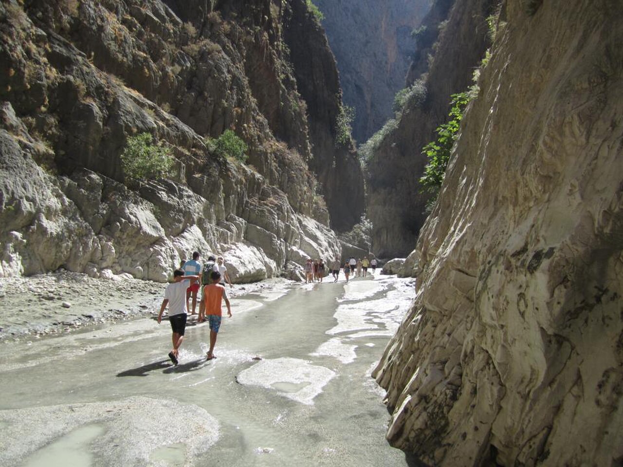
Saklıkent is wet, rocky and physically demanding. The approach includes wooden stairs over a metal walkway, and the canyon route continues through moving water and uneven surfaces. Step-free access is unavailable, independent wheelchair access is unsuitable and pushchairs are not appropriate for this terrain. Wear secure footwear with reliable grip, protect phones and valuables from splashes, and supervise children closely near water and rock. Rain may cause a safety closure, while changing flow can reduce the passable distance during published hours. Keep your group together, move carefully and follow local directions.
Checked 2026-09-02 · Source
Photograph the contrast between the engineered entrance and the natural gorge: wooden stairs, the metal walkway, dark rock walls and Karaçay moving through the canyon. Water, rock texture and changing light communicate the experience better than one posed viewpoint. Use a waterproof pouch or protected camera before entering the stream section, and keep both hands available when footing becomes uncertain. Stop only where the surface is secure, keep the route clear and watch the water while photographing. Reflections, wet stone and narrow daylight can create strong images without risky positions. If rafting, secure the camera and follow the activity operator’s instructions.
Checked 2026-09-02 · Source
Saklıkent Canyon is in Seydikemer district of Muğla, close to the Antalya provincial border.
The canyon is approximately 18 kilometres long. A normal visit covers the passable visitor section, not necessarily the entire canyon.
Karaçay, a branch of the Eşen River, runs through the canyon.
Yes. The entrance route includes wooden stairs laid over a metal walkway, so the approach is not step-free.
Yes. The Seydikemer District Governorate states that rafting can be done in the canyon’s waters, subject to conditions and activity arrangements.
Leave the Fethiye–Antalya highway towards Kemer. Saklıkent is about 21 kilometres after the turn; pass Kayadibi and follow the road to the entrance, where parking is available.
Loading the interactive map…
The interactive map could not be loaded.

Last updated:
Source: OpenStreetMap contributors, Wikidata ·