

314 min walk · Milas
Euromus
- Must see
- Historic monument
Language · 11 published
Nature site · Milas, Muğla
Bafa Gölü

| Monday | 07:00 – 20:30 |
|---|---|
| Tuesday | 07:00 – 20:30 |
| Wednesday | 07:00 – 20:30 |
| Thursday | 07:00 – 20:30 |
| Friday | 07:00 – 20:30 |
| Saturday | 07:00 – 20:30 |
| Sunday | 07:00 – 20:30 |
Checked 2026-09-02 · Source
Read from the OpenStreetMap access tags; anything not listed has no tag recorded.
Set the group type to family in the planner and the day window contracts to about three quarters of a solo day.
Lake Bafa is a protected natural and cultural landscape shared by Aydın and Muğla. Most of the lake lies in Söke district of Aydın, while its eastern shores are in Milas district of Muğla. It became a nature park on 8 July 1994 because of its rich natural and cultural resources. The broad water surface, rocky shoreline and Beşparmak Mountains bring wetlands, hills and ancient settlement remains together in one destination. Lake Bafa is best understood as a wide outdoor area with several distinct places to explore, rather than as a single enclosed attraction.
Checked 2026-09-02 · Source
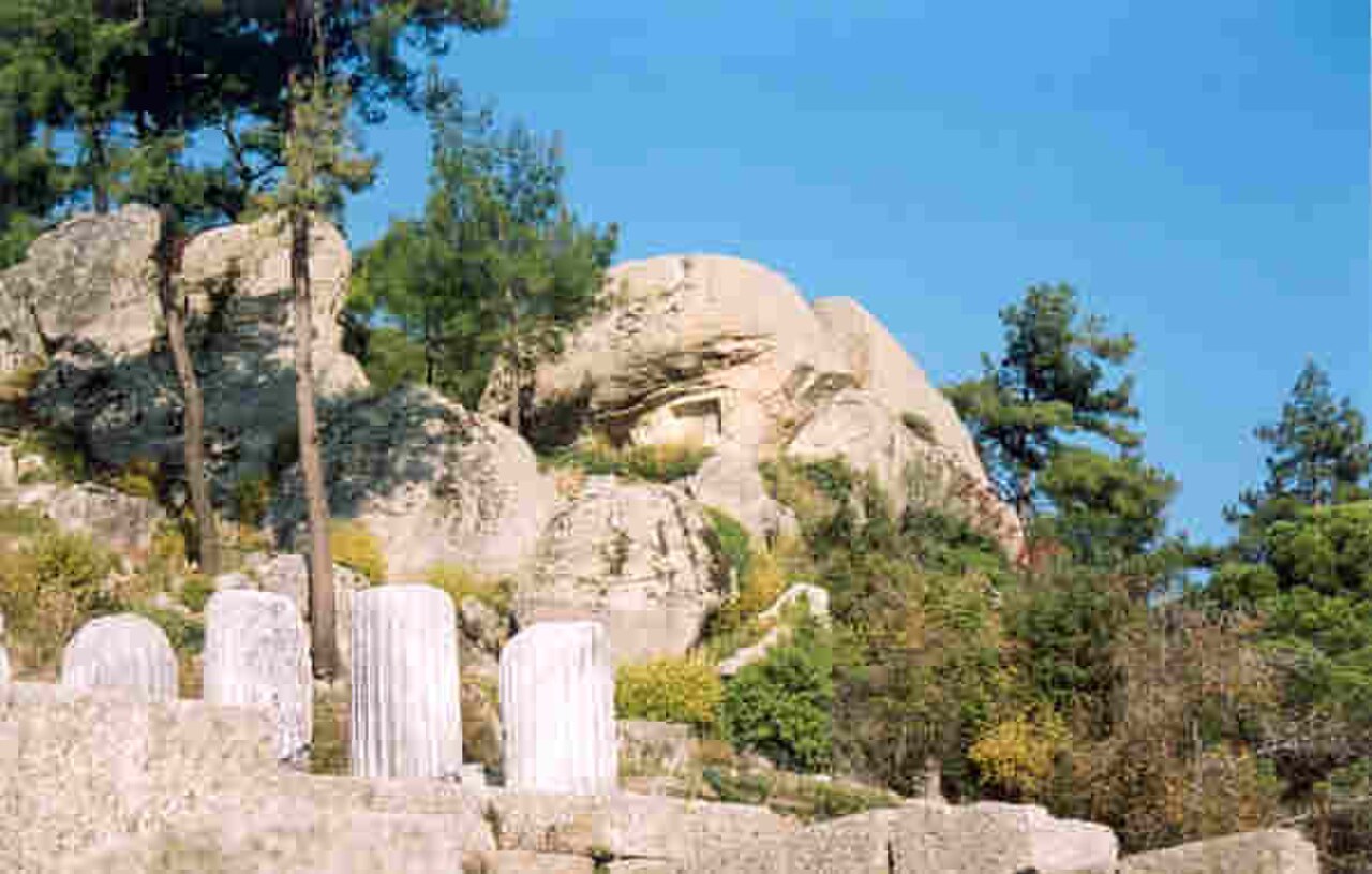
Five named islands lie in the lake: İkiz Ada, Menet Adası, Kapıkırı Adası, Kahve Asar Adası and Uyuz Ada. The nature park records 261 bird species, 22 reptile species and 19 mammal species, giving the shoreline strong wildlife interest. On the eastern side, Herakleia Ancient City adds ruins beside the water, while Yediler Monastery stands in the foothills of the Beşparmak Mountains. These are connected attractions within a wide landscape, so allow time between the lakeside, village, ruins and mountain approaches. The changing views are part of the visit.
Checked 2026-09-02 · Source
Allow at least half a day for a worthwhile first visit to Lake Bafa, and reserve a full day if you want to combine the lake with Herakleia Ancient City or Yediler Monastery. A brief stop can provide a lakeside view and basic orientation, but it will not show the scale of the nature park or its cultural setting. A longer visit leaves room for birdwatching, exploring the Kapıkırı area and resting beside the water. Your timing will depend on whether scenery, wildlife, ancient remains or all three lead the day. Driving between dispersed points also adds time.
Checked 2026-09-02 · Source
The nature park publishes daily visiting hours of 07:00–20:30, giving a long daylight window for combining lakeside views with nearby cultural stops. Early morning is useful for quieter shoreline observation and birdwatching, while late afternoon brings softer light across the lake and Beşparmak Mountains. The supplied operator research records no closing day. Because the landscape includes exposed shore, uneven historic terrain and mountain approaches, comfortable footwear and sun protection are practical throughout the open season. Plan the final activity before the 20:30 closing time, especially when visiting several separated locations.
Checked 2026-09-02 · Source
General adult admission is recorded as 60 TRY. The supplied operator research gives no separate child, student, group or vehicle tariffs, so this guide records only the adult rate. The charge relates to entry to the protected nature-park area; separately arranged activities or services around the lake may have different conditions, but no additional price is documented in the research. Keep the official tariff source available when planning, particularly for a group seeking a category that is not listed in the supplied information. The recorded amount is per person, not per vehicle.
Checked 2026-09-02 · Source
The Söke–Milas highway passes along the edge of the park, making Lake Bafa practical to reach by road. The supplied address is Kapıkırı, 48230 Milas/Muğla, which is the useful reference point for the eastern lakeside area. You can drive to the Kapıkırı side or use municipal buses departing from Milas. Public-transport visitors should allow time for the final approach and confirm the day’s service before leaving, because the research identifies the route but gives no departure timetable. A car helps when combining the lake with dispersed historical sites and mountain approaches.
Checked 2026-09-02 · Source
Lake Bafa is a landscape visit rather than a single enclosed attraction, so distance, weather and ground conditions shape the day. The eastern shore and nearby historic locations can include uneven surfaces, rocks and exposed paths; sturdy shoes are more practical than smooth-soled footwear. Step-free access and guidance services are listed, but the research does not describe every trail, ruin or mountain route as step-free. Park access hours do not guarantee identical hours for every nearby service. Carry water, protect yourself from the sun and finish activities before 20:30. Allow extra time for exposed terrain.
Checked 2026-09-02 · Source
Lake Bafa suits wide landscape photographs: the water, five islands, Kapıkırı shoreline and Beşparmak Mountains create distinct layers in a single frame. Early and late daylight can separate the mountain silhouettes from the lake surface, while a longer stay improves the chance of seeing birds among the park’s 261 recorded bird species. Herakleia Ancient City and Yediler Monastery add architectural subjects beyond the waterfront. Photograph local communities and historic remains respectfully, avoid disturbing wildlife, and note that no special photography restriction or permit requirement is recorded in the supplied research. The broad setting rewards patient composition.
Checked 2026-09-02 · Source
Most of Lake Bafa lies in Söke district of Aydın, while its eastern shores are in Milas district of Muğla.
Lake Bafa was declared a nature park on 8 July 1994 because of its rich natural and cultural resources.
Lake Bafa has five islands: İkiz Ada, Menet Adası, Kapıkırı Adası, Kahve Asar Adası and Uyuz Ada.
The nature park is home to 261 bird species, 22 reptile species and 19 mammal species.
The lake reaches a maximum depth of 25 metres.
Herakleia Ancient City stands east of the lake, and Yediler Monastery is located in the foothills of the Beşparmak Mountains.
Loading the interactive map…
The interactive map could not be loaded.
Last updated:
Source: OpenStreetMap contributors, Wikidata ·