.jpg)
.jpg)

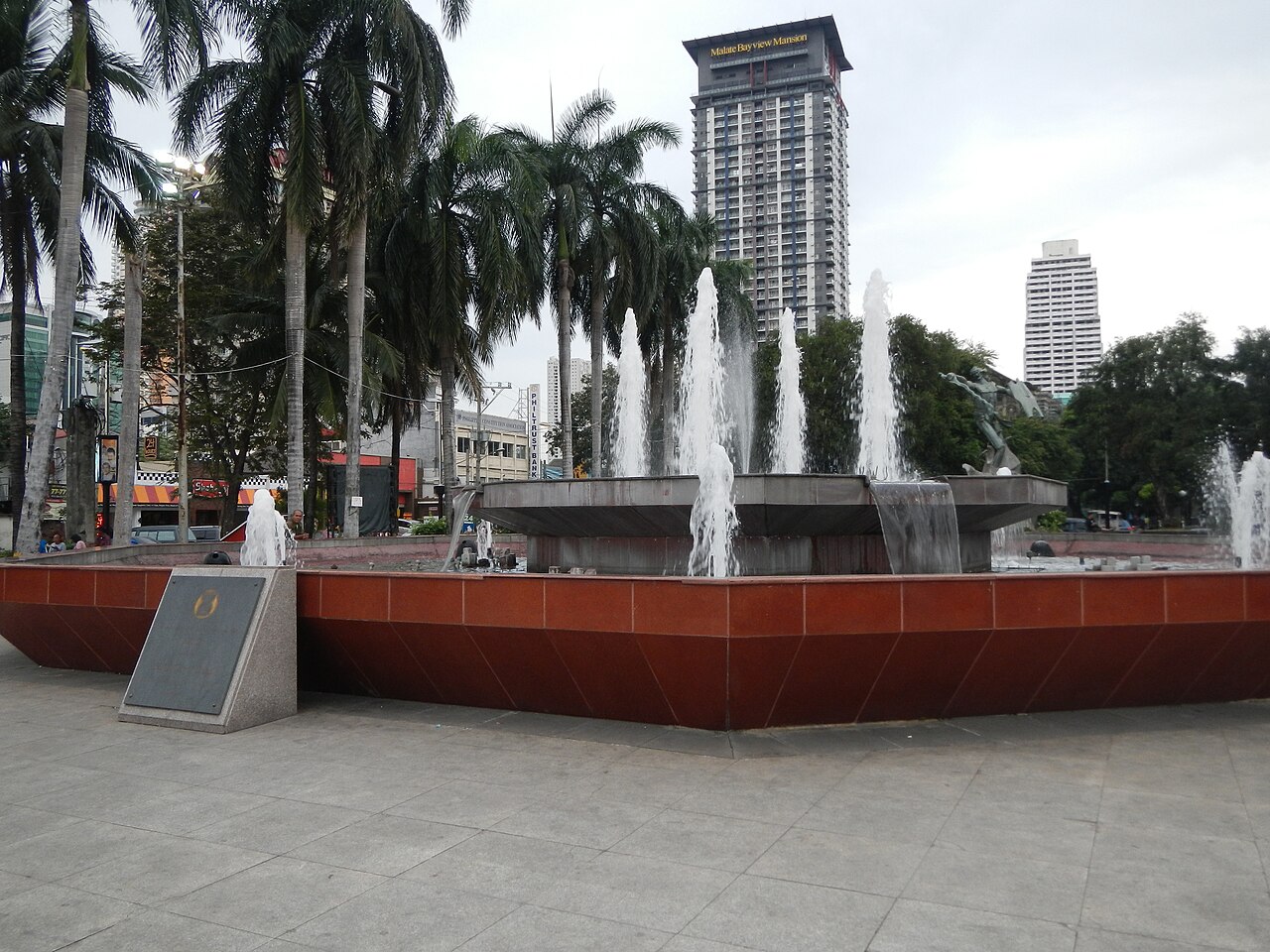
2 min walk
Plaza Rajah Sulayman
- Must see
- Nature site
Language · 11 published
Nature site · Manila

Manila Baywalk is a seaside promenade tracing the edge of Manila Bay along Roxas Boulevard. It serves as a public leisure corridor where visitors gather for bay sunsets and evening recreation. The walkway connects cultural and commercial zones of the capital, positioned near the historic district of Malate and the port area. Its identity derives from sustained presence in institutional tourism materials and travel-media coverage of Metro Manila attractions. The baywalk functions as an open-air urban space without enclosed facilities or controlled entry points, distinguishing it from ticketed venues elsewhere in the city.
Checked 2026-08-26
The baywalk contains a paved pedestrian route with intermittent seating and open plazas facing the water. Vendors and informal food stalls operate along portions of the route, particularly in evening hours. Street performers and musicians frequent the area. The promenade passes near monuments and markers, including the Rizal Monument at Luneta and various nautical installations. No enclosed buildings or structured entertainment complexes form part of the walkway itself. The immediate surroundings include hotels, restaurants, and the Cultural Center of the Philippines complex to the south. The experience centres on the waterfront atmosphere rather than contained attractions.
Checked 2026-08-26
A continuous walk from the northern extent near the United States Embassy to the southern boundary near the Cultural Center of the Philippines spans approximately two to three kilometres. Most visitors allocate one to two hours for a leisurely traverse with pauses for photographs or rest. Sunset viewing extends typical stays by thirty to sixty minutes as crowds gather facing westward. The unstructured nature of the space permits variable durations; some visitors make brief appearances while others remain through evening hours. No guided circuits or prescribed routes govern visitor pacing.
Checked 2026-08-26

Sunset hours attract the greatest concentration of visitors due to the western orientation toward Manila Bay. Evening conditions offer reduced heat and activated street vending. Operator-confirmed hours are Not recorded pending review; the space remains accessible as a public thoroughfare at all hours, though visitor density and vendor presence fluctuate. Seasonal weather patterns including monsoon rains from June through November may affect comfort and visibility. Dry season months of December through May generally provide more reliable conditions for outdoor promenading and photography of the bay horizon.
Checked 2026-08-26
Manila Baywalk operates as a free-access public space without entry controls or admission mechanisms. Operator-confirmed prices are Not recorded pending review; no ticketing infrastructure exists for the promenade itself. Ancillary expenditures may arise from food purchases, transportation, or nearby commercial establishments. Visitors should carry cash for informal vendors, as electronic payment acceptance is inconsistent. No reservation systems or capacity limits govern access to the walkway. Special events occasionally staged along the baywalk may introduce temporary arrangements, though these remain exceptional rather than standard operational practice.
Checked 2026-08-26
The baywalk parallels Roxas Boulevard, accessible via multiple public transit corridors. Jeepneys and buses serve routes along this arterial road. The Light Rail Transit Line 1 stations at United Nations Avenue, Pedro Gil, and Quirino provide proximity to different segments. Taxis and ride-hail services operate throughout the area, though evening demand surges may extend wait times. Walking connections exist from Intramuros and the National Museum complex to the northeast. No dedicated parking facilities serve the baywalk exclusively; street parking and hotel or commercial lots provide alternatives with varying availability and regulation.
Checked 2026-08-26
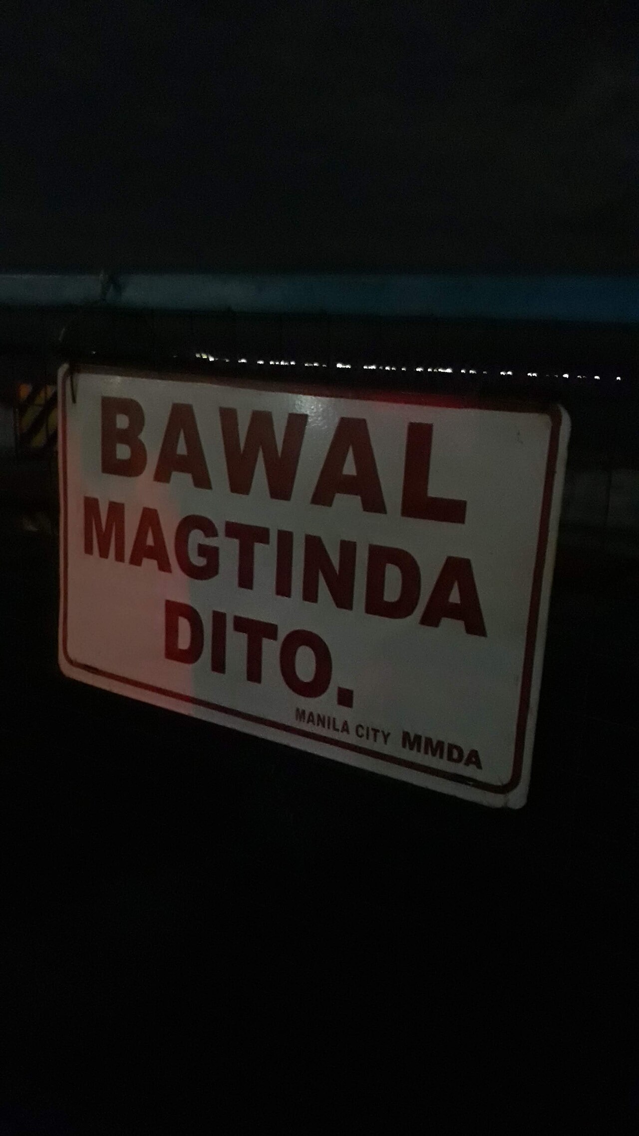
Pedestrians should remain attentive to vehicular traffic at crossing points where Roxas Boulevard intersects with the promenade. Evening crowds concentrate around sunset, increasing exposure to petty theft and distraction-based incidents. Food from informal vendors carries variable hygiene standards; visitor discretion is advised. The waterfront lacks protective barriers along all sections; proximity to the water edge requires caution, particularly for children. After dark, lighting quality varies along the route. Weather conditions including sudden rainfall and strong bay winds can affect comfort and footing. Solo visitors late at night should exercise standard urban precautions appropriate to any major metropolitan area.
Checked 2026-08-26
The western bay orientation positions Manila Baywalk as a primary sunset photography location in Metro Manila. The horizon line offers unobstructed solar descent across the water, with vessel traffic and the Bataan coastline visible in clear conditions. Golden-hour lighting begins approximately sixty minutes before sunset. Tripod use is feasible given the wide promenade, though pedestrian traffic increases during optimal light. Night photography captures the Roxas Boulevard streetscape and illuminated monuments. No restrictions on photographic equipment or commercial photography permits are documented for the public walkway itself. Drone operation would fall under national civil aviation regulations rather than site-specific protocols.
Checked 2026-08-26
Standard urban precautions apply. Evening crowds at sunset are generally dense and active, though visitors should secure valuables and remain aware of surroundings. After dark, varying lighting conditions suggest travelling in groups and using main thoroughfares.
The baywalk is a paved promenade without swimming facilities or designated water access points. Water quality and industrial port activity in Manila Bay make recreational swimming inadvisable in this area.
The walkway itself contains informal food vendors. Full-service restaurants and hotels with dining facilities line Roxas Boulevard adjacent to the promenade, requiring brief detours from the waterfront path.
The historic walled city lies northeast of the baywalk. Walking routes of approximately one to two kilometres connect the areas via Padre Burgos Avenue and Roxas Boulevard, depending on the specific baywalk segment targeted.
As a public thoroughfare, the promenade remains physically accessible. Vendor activity and crowd density diminish significantly after sunset hours. No gates or controlled entry points enforce closure.
Clear western horizons produce visible solar descents. Cloud cover, haze, and monsoon season precipitation frequently obscure or diminish the spectacle. Dry season months offer statistically higher probability of unobstructed views.
Loading the interactive map…
The interactive map could not be loaded.


Last updated:
Source: OpenStreetMap contributors ·