


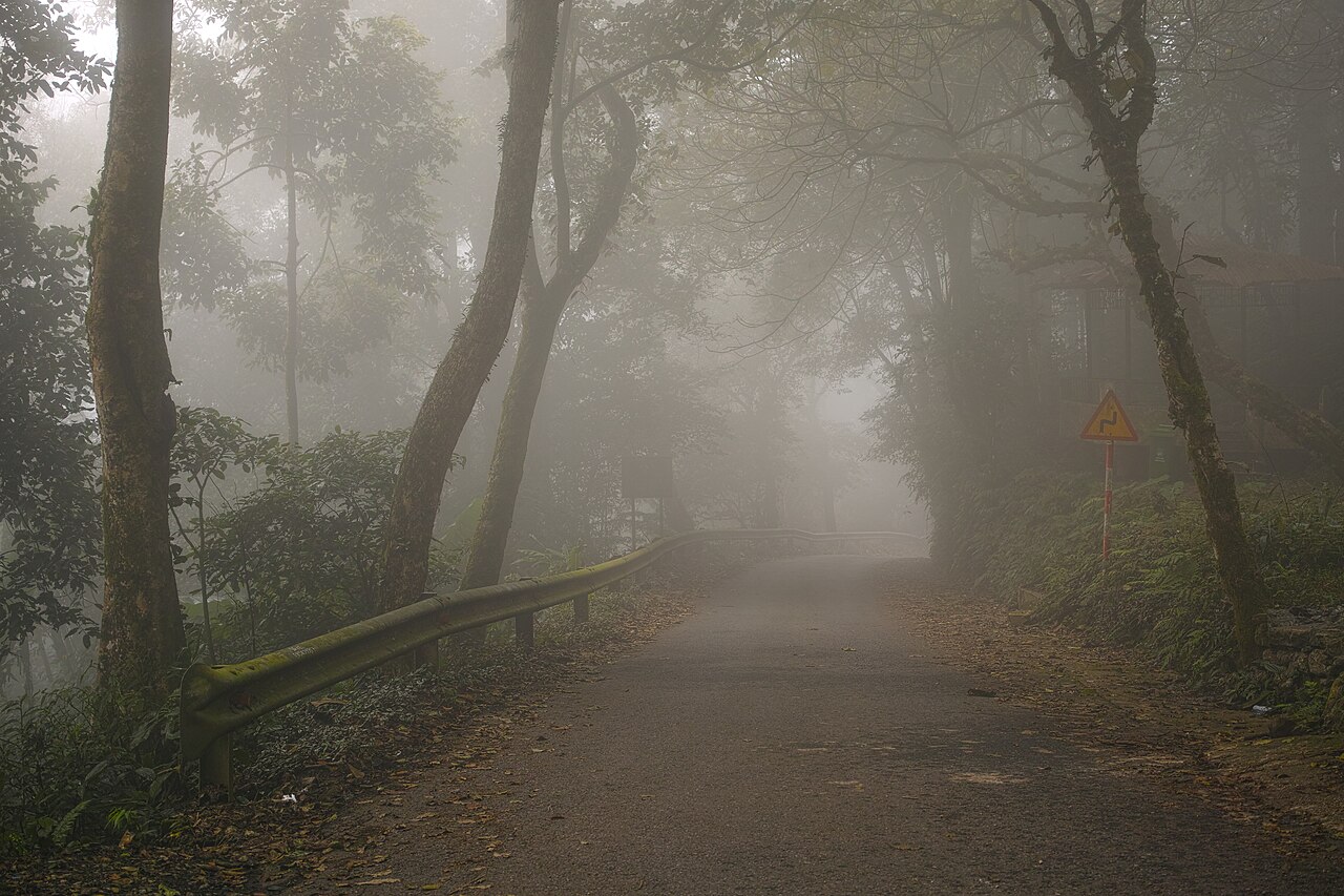
209 min walk
Ba Vi National Park
- Must see
- Nature site
Language · 11 published
Historic monument · Hanoi
Thành cổ Sơn Tây

Son Tay Ancient Citadel, or Thành cổ Sơn Tây, is a historic military fortress west of central Hanoi in the Son Tay area. The nineteenth-century citadel belongs to the Nguyen dynasty period and combines Vietnamese fortification traditions with French colonial military influence. Its surviving walls and defensive geometry make the site valuable for travellers interested in military architecture, regional history and the physical evidence of northern Vietnam’s changing political landscape. The citadel is a substantial excursion from central Hanoi rather than a quick inner-city stop. Son Tay Ancient Citadel, known locally as Thành cổ Sơn Tây, is a historical military fortress located in the former Son Tay district west of central Hanoi.
Checked 2026-08-26 · Source
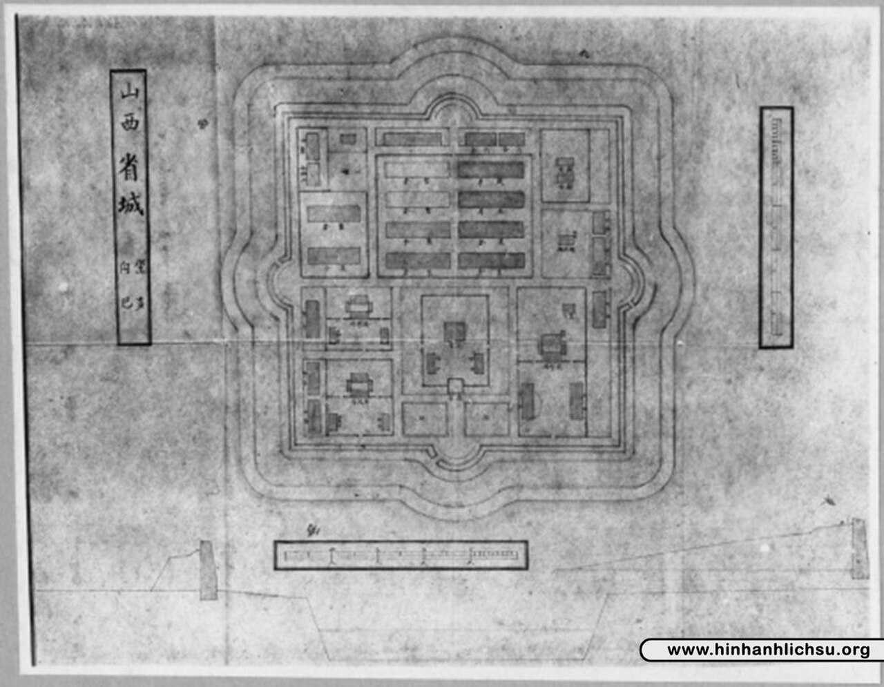
Within the enclosure, visitors can examine defensive walls, gate structures, angular bastions, open parade grounds and foundations associated with former military and administrative buildings. Brick, laterite stone and compacted earthworks show how the fortress was constructed. Vegetation has reclaimed parts of the site, giving the citadel an atmosphere of partial ruin rather than a fully restored compound. The geometric plan is especially rewarding when viewed as a defensive system: bastion angles and wall lines reveal how the fortress organized movement and overlapping fields of protection.
Checked 2026-08-26 · Source
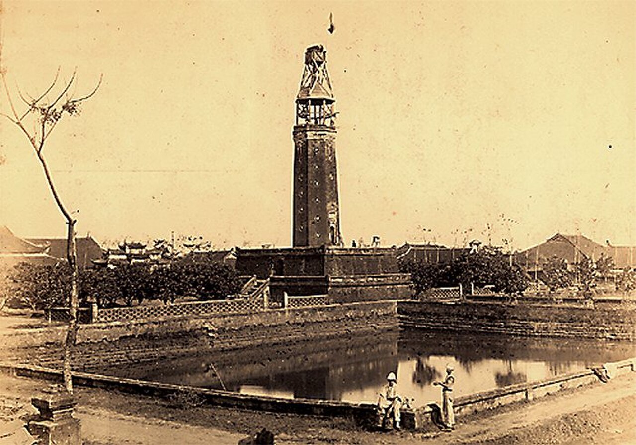
Allow sixty to ninety minutes for a careful circuit of Son Tay Ancient Citadel. A faster walk around the main remains may take about forty-five minutes, while photographers and visitors studying military design will benefit from longer. The site’s compact footprint permits a broad overview without an exceptionally long walk, but the exposed grounds slow the pace in strong heat or rain. Build the citadel into a wider west-of-Hanoi excursion because travel from central Hanoi commonly takes more than an hour and the journey is a meaningful part of the day.
Checked 2026-08-26 · Source
Cooler, drier months from November through March offer the most comfortable conditions for walking the exposed grounds. From May through September, Hanoi’s heat, humidity and frequent rain can make the open citadel tiring, especially around midday. Early morning and late afternoon provide softer light and reduce direct heat exposure. The citadel’s limited shade makes a cloudy day particularly pleasant for architectural observation. Plan the visit as a deliberate day trip from Hanoi, allowing flexibility around the long road journey and the weather across the region.
Checked 2026-08-26 · Source
Son Tay Ancient Citadel is a historical site rather than a commercial entertainment venue, and the visit should be planned around the fortress remains themselves. Carry Vietnamese dong because rural and heritage destinations may rely on cash arrangements. The journey is more important to plan than a conventional timed attraction: travellers need enough daylight and energy for the walls, bastions and grounds. The citadel’s value comes from observing the surviving defensive fabric, so allocate time for the whole enclosure instead of treating the entrance as the main experience.
Checked 2026-08-26 · Source
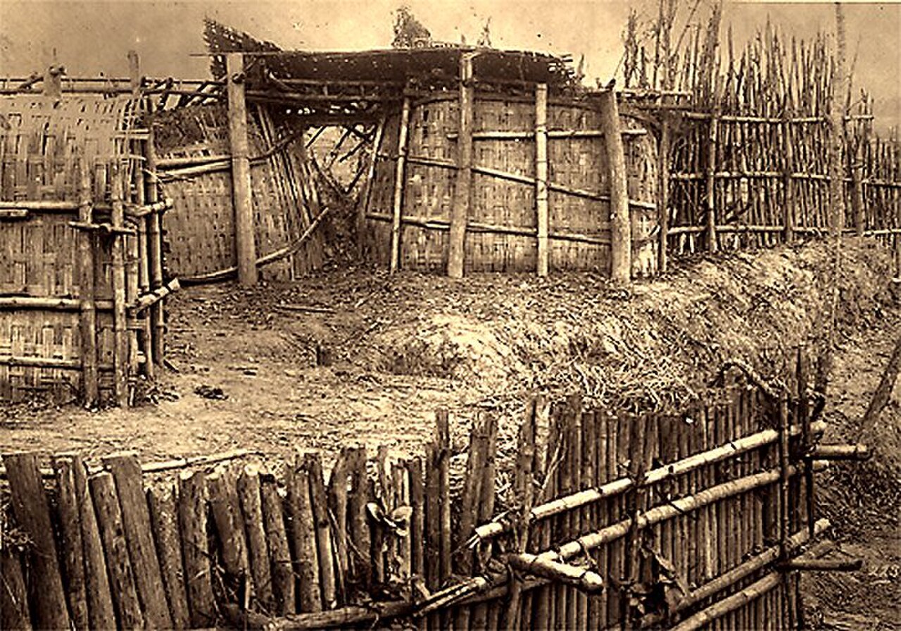
Son Tay Ancient Citadel lies roughly forty kilometres west of Hanoi city centre. Public buses connect Hanoi with Son Tay township, after which local transport or walking completes the approach. Motorbike or bicycle travel offers flexibility for experienced riders comfortable with Vietnamese traffic, while an organized tour provides structured transport for visitors who prefer not to manage the rural journey independently. Road conditions and traffic affect the duration, and the trip from central Hanoi commonly exceeds one hour. Treat the citadel as a planned excursion, not a spontaneous central-Hanoi walk.
Checked 2026-08-26 · Source
Son Tay Ancient Citadel contains uneven ground, exposed foundations, overgrown areas and historic masonry, so wear sturdy shoes and keep to surfaces that feel stable. Bastion walls and ruined sections may lack modern barriers, making conservative movement important. The open grounds provide little shade; carry drinking water, use sun protection and avoid the hottest part of the day. Limited immediate facilities and the rural setting make preparation important before leaving Hanoi. Do not climb unstable masonry or enter spaces where vegetation conceals a drop, trench or weakened structure.
Checked 2026-08-26 · Source
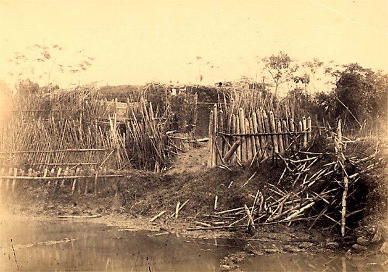
Son Tay Ancient Citadel offers strong subjects for architectural photography: angular bastions, textured brick, laterite stone, wall lines and vegetation growing through historic remains. Early morning and late afternoon light emphasize the geometry and produce gentler contrast than midday sun. A wide lens helps frame the defensive enclosure, while detail shots reveal construction textures. Keep equipment clear of paths and fragile masonry, and treat the ruined sections as heritage rather than climbing props. The open setting also suits photographs that contrast regimented military geometry with organic overgrowth.
Checked 2026-08-26 · Source
The citadel is in the Son Tay area roughly forty kilometres west of central Hanoi, so the visit requires a planned road journey.
The fortress dates to the nineteenth-century Nguyen dynasty period and combines Vietnamese defensive traditions with French colonial military influence.
Allow about sixty to ninety minutes for a careful circuit, with additional time for photography or close study of the defensive remains.
Take a public bus to Son Tay township and continue locally, or travel by motorbike, bicycle or organized tour. The journey commonly takes more than an hour.
Bring sturdy footwear, drinking water and sun protection. The open grounds have limited shade, while uneven surfaces and historic masonry require careful walking.
Focus on the angular bastions, defensive walls, textured brick, laterite stone, open grounds and the contrast between military geometry and reclaimed vegetation.
Loading the interactive map…
The interactive map could not be loaded.
Last updated:
Source: OpenStreetMap contributors, Wikidata ·