


2 min walk
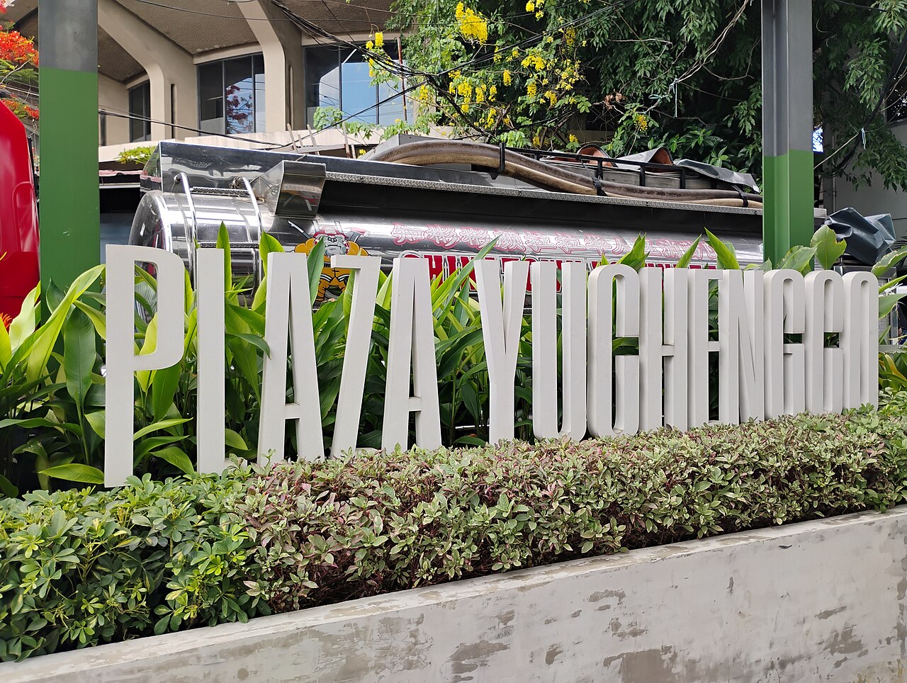
Plaza Yuchengco
- High
- Historic monument
Language · 11 published
Historic monument · Manila

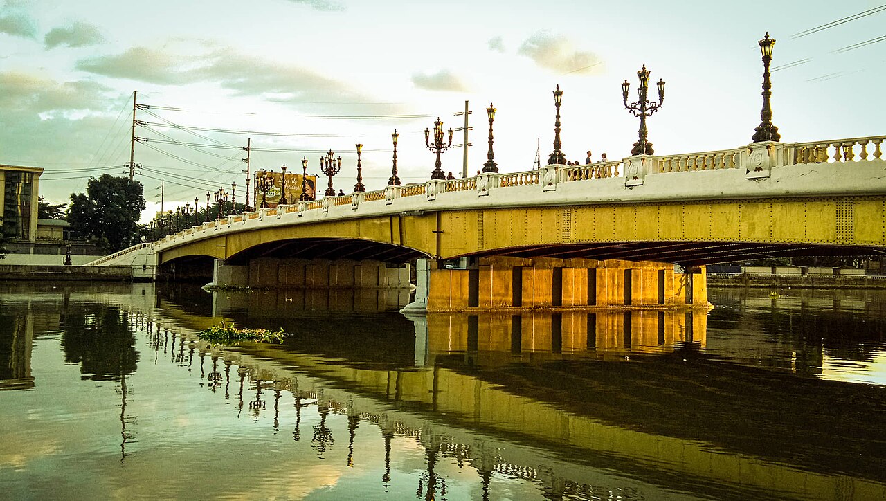
Pasig River Esplanade is a riverside promenade along the Pasig River in Metro Manila. The walkway forms part of broader efforts to rehabilitate and activate the Pasig River corridor for public use. It represents an attempt to reclaim the historic waterway as accessible urban space. The esplanade connects to ongoing metropolitan renewal initiatives. Visitors encounter a linear public space intended for walking and observation of the river environment. The development reflects changing attitudes toward Manila's waterways.
Checked 2026-08-26
The esplanade contains a paved pedestrian walkway running parallel to the river. Seating areas may be present for rest and observation. Landscaping along the route varies by segment. The river itself constitutes the primary visual element, with passing boat traffic visible. Adjacent structures include mixed urban development, informal settlements, and occasional heritage buildings. The experience differs substantially by section and time of day. No enclosed attractions or commercial facilities are documented. The linear nature means contents change continuously along the route.
Checked 2026-08-26
A complete traverse of accessible esplanade segments requires variable time depending on entry point and walking pace. Visitors typically allocate one to two hours for a meaningful experience including stops. The full linear extent connecting multiple districts would demand substantially longer. Most visitors experience discrete portions rather than continuous end-to-end walks. Time requirements increase for photography or extended observation. Evening visits may extend duration due to changed atmospheric conditions. Individual segments may be completed in thirty to forty-five minutes at moderate pace.
Checked 2026-08-26

Operator-confirmed hours are Not recorded pending review. The outdoor nature suggests daytime accessibility, though specific opening or closing regulations remain unverified. Early morning and late afternoon offer reduced heat exposure in Manila's tropical climate. Evening hours may provide different atmospheric conditions along the water. Weather considerations significantly affect comfort, with wet season conditions potentially limiting enjoyment. Visitors should verify current access status before travel, as riverfront developments experience periodic modification. Local consultation recommended for current conditions.
Checked 2026-08-26
Operator-confirmed prices are Not recorded pending review. Public esplanades in Metro Manila typically operate without admission charges, though this remains unverified for this specific location. No ticketing infrastructure is documented. Potential costs would relate to transportation to access points rather than site entry. Commercial activities along the route operate independently. Visitors should carry sufficient funds for incidental expenses. Formal fee structures, if implemented in future phases, remain unannounced. Verification with local authorities recommended before visit. Pasig River Esplanade also earns time in a manila itinerary because Pasig River Esplanade is retained as a meaningful Metro Manila visitor destination. Production has no POI assigned through Manila's city_place_id, so it remains absent without a near match. Its value becomes clearer when the stop is compared with the surrounding streets and the other ranked places nearby.
Checked 2026-08-26
The esplanade is accessible from multiple points along the Pasig River corridor. Major roads crossing the river provide entry opportunities. Public jeepneys and buses serve corridors parallel to the waterway. The Pasig River Ferry Service, where operational, offers alternative access with esplanade proximity at select stops. Ride-hailing services operate throughout Metro Manila. Walking connections from nearby districts vary by segment quality. Specific optimal access points depend on intended walking direction and distance. Visitors should identify current entry conditions, as construction or rehabilitation may affect access.
Checked 2026-08-26

The urban river environment requires standard metropolitan precautions. Segments pass through varied socioeconomic areas with differing security conditions. Walking surfaces may be uneven or interrupted. Limited lighting in some sections affects evening safety. Water quality in the Pasig River remains compromised; direct contact should be avoided. Air quality varies with traffic and industrial proximity. Informal settlement interfaces require respectful passage. Weather exposure is significant; sun protection and hydration essential. Emergency services access may be limited in certain segments. Companion walking recommended for unfamiliar visitors.
Checked 2026-08-26
The river corridor offers documentary and atmospheric photographic subjects including waterway activity, urban juxtapositions, and skyline views. Lighting conditions vary dramatically; golden hour provides optimal natural illumination. Morning haze may affect clarity. Evening artificial lighting creates different character. Tripod use may attract attention in isolated segments. Drone operation faces regulatory restrictions near urban infrastructure. Respect for private property and residential privacy essential. Security considerations affect equipment visibility. The contrast between formal esplanade development and adjacent informal communities presents ethical documentation challenges. Backup storage recommended.
Checked 2026-08-26
Continuous connectivity is not verified. The esplanade comprises multiple segments with varying completion status. Interruptions occur where development phases transition or where existing infrastructure blocks passage.
Swimming is not advisable. The Pasig River has documented water quality challenges. The esplanade is designed for observation and walking, not water contact recreation.
Dedicated commercial facilities are not recorded. Nearby districts contain independent food establishments at varying distances from the walkway. Visitors should not assume on-site dining availability.
Night safety varies by segment. Some sections may lack adequate lighting. Visitors should assess current local conditions and consider daytime visits initially. Companion presence recommended.
The Pasig River flows near multiple historic areas, but direct pedestrian connections depend on specific segment locations. Verification of actual walking routes between destinations is recommended.
Formal guided tour services are not recorded. The esplanade functions primarily as independent walking infrastructure. Visitors may self-navigate using standard mapping applications.
Loading the interactive map…
The interactive map could not be loaded.

Last updated:
Source: OpenStreetMap contributors ·