.jpg)


.jpeg)

71 min walk
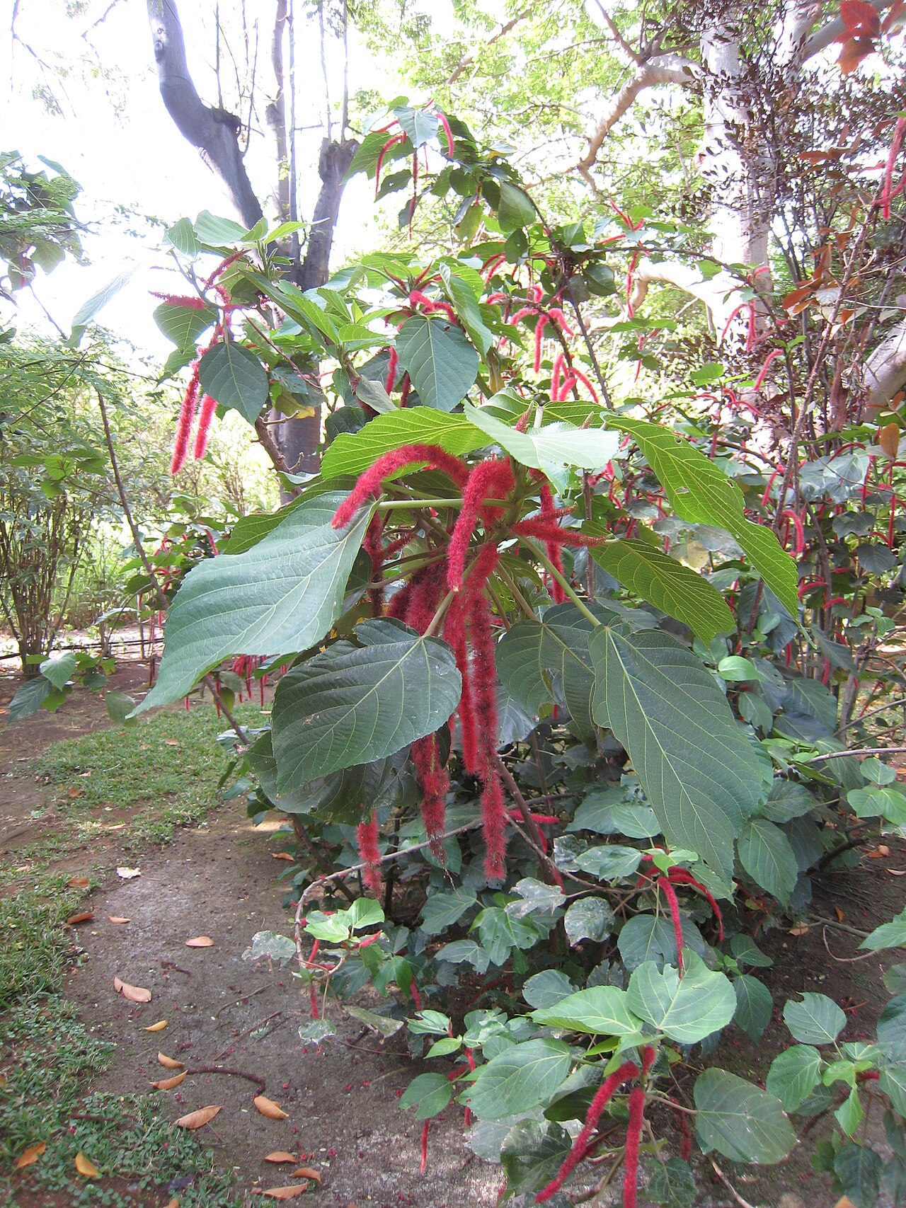
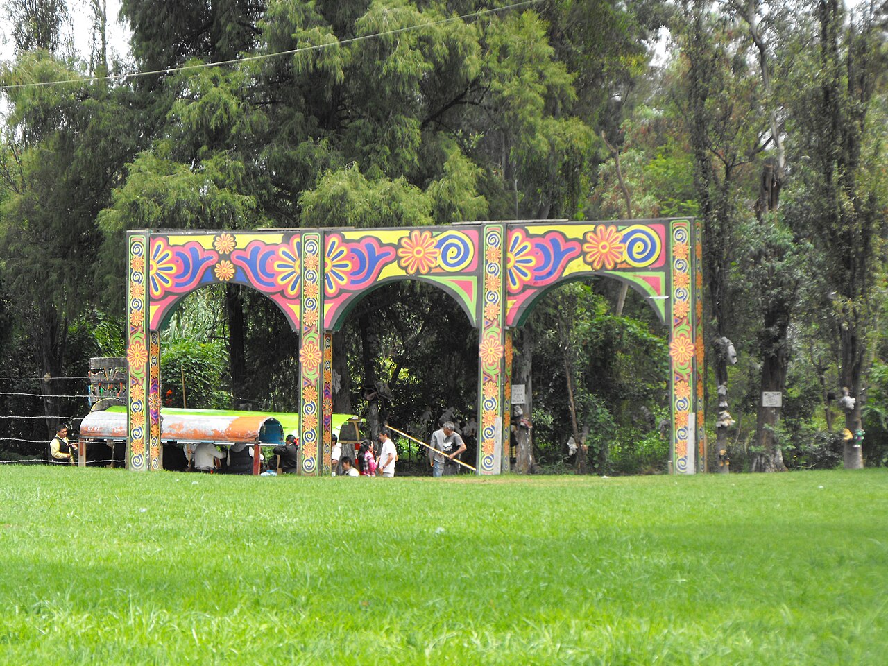
Jardín Edén
- Notable
- Nature site
Language · 11 published
Nature site · Mexico City
| Monday | 00:00 – 23:59 |
|---|---|
| Tuesday | 00:00 – 23:59 |
| Wednesday | 00:00 – 23:59 |
| Thursday | 00:00 – 23:59 |
| Friday | 00:00 – 23:59 |
| Saturday | 00:00 – 23:59 |
| Sunday | 00:00 – 23:59 |
Checked 2026-08-31 · Source
Read from the OpenStreetMap access tags; anything not listed has no tag recorded.
Set the group type to family in the planner and the day window contracts to about three quarters of a solo day.
Xochimilco is a district in southern Mexico City renowned for its extensive canal system and artificial agricultural islands called chinampas. The area constitutes a surviving fragment of the vast lake transport network that once connected settlements across the Valley of Mexico. Designated a UNESCO World Heritage site in 1987, Xochimilco preserves pre-Hispanic hydraulic engineering and land-use techniques. The distinctive flat-bottomed boats known as trajineras carry visitors through the waterways, representing a cultural practice maintained across centuries. The landscape demonstrates how indigenous communities adapted to aquatic environments long before Spanish colonization.
Checked 2026-08-26
The primary visitor experience centers on the canal network navigated by colorful trajineras, traditionally decorated craft propelled by pole. Chinampas line portions of the waterways, showing raised garden beds created from lake mud and vegetation. The ecological reserve of Cuemanco contains wetland habitat. Some canals pass areas with floating nurseries selling plants and flowers. The Island of the Dolls, though not an official attraction, draws visitors seeking unconventional sites. Weekend visits bring increased boat traffic and mobile vendors selling food, beverages, and music services. The overall environment blends working agricultural landscape with recreational tourism infrastructure in varying proportions.
Checked 2026-08-26
A typical trajinera excursion spans approximately two to three hours depending on selected route and negotiated arrangements with boat operators. Shorter trips of one hour remain possible for visitors with constrained schedules. Extended journeys incorporating multiple canal branches or stops at specific points extend proportionally. The floating experience itself constitutes the core activity, with limited disembarkation opportunities during standard tours. Visitors should account for additional time reaching embarkation points from central Mexico City, particularly during peak traffic periods. Full-day engagement including transit from accommodation, meal consumption, and return journey realistically occupies six to eight hours for most travelers.
Checked 2026-08-26
The canals experience heaviest visitor concentration on weekends and Mexican public holidays, particularly Sundays when local families traditionally visit. Weekday excursions offer reduced boat traffic and more tranquil waterway navigation. Morning departures typically encounter calmer conditions and less congestion at embarkation points. Rainy season from approximately June through September may affect comfort and visibility, though covered trajineras provide basic shelter. Dry season months generally deliver more predictable conditions. Festival periods including Day of the Dead observances bring distinctive decorations and heightened cultural activity alongside increased visitor numbers. Check the operator's own site for the travel date before relying on a schedule or fare.
Checked 2026-08-26
Trajinera rental operates on negotiated per-boat rates rather than individual tickets, with costs varying by boat size, duration, and specific boarding location. Multiple embarkation points exist along the canal system with potentially different pricing structures. Group sharing reduces per-person expenditure but requires coordination with other visitors. Some vendors on boats or along canals accept cash only. Food, beverages, and music services incur supplementary charges typically arranged directly with providers. No standardized admission fee applies to the Xochimilco area itself, though specific sites within the broader district may implement separate access charges. Check the operator's own site for the travel date before relying on a schedule or fare.
Checked 2026-08-26
Xochimilco lies approximately twenty kilometers south of Mexico City historic center. The Xochimilco Light Rail station provides public transit connection from the city, though walking distance from station to primary embarkation points varies. Metro Line 2 connects to the light rail transfer. Taxi and ride-hailing services offer direct access but encounter significant traffic delays during peak periods. Several embarkation points exist, with Nuevo Nativitas and Cuemanco among those referenced in visitor guidance. Road access from central areas passes through dense urban development. Signage and local assistance may prove necessary for first-time visitors navigating to specific boarding locations.
Checked 2026-08-26
Water quality in canals varies considerably, with some areas receiving untreated wastewater discharge. Visitors should avoid contact with canal water and exercise caution when boarding or disembarking trajineras. Negotiate boat duration, route, and price explicitly before departure to prevent disputes. Life jacket availability and condition should be verified, particularly for non-swimmers. Mobile vendors approach boats persistently; establish clear boundaries regarding unwanted goods or services. Alcohol consumption on boats is common but impairs judgment near water. Personal belongings require securing against splashing or accidental loss. Weather changes affect open-water comfort; appropriate clothing and sun protection prove essential during extended exposure.
Checked 2026-08-26

The vivid trajineras with floral names painted on prows offer iconic photographic subjects against green canal vegetation. Morning light provides optimal illumination with reduced harsh shadow. Boat movement creates stability challenges requiring appropriate shutter speeds or stabilization. Chinampas demonstrate layered agricultural textures visible from water level. Weekend crowds enable candid documentation of social gathering customs but complicate clean composition. Reflections in relatively calm water sections create symmetrical possibilities. Respect privacy of other boat passengers and families celebrating private occasions. Drone operation requires awareness of Mexican aviation regulations and practical hazards from overhead wires and dense bird populations in wetland sections.
Checked 2026-08-26
Standard urban precautions apply. Stay with your group, secure valuables, and use established embarkation points. Water safety equipment should be verified.
Swimming is inadvisable due to variable water quality. The experience is designed for boat navigation rather than water contact.
Departures operate on demand rather than fixed timetables. Negotiation with boat operators determines timing.
Mobile vendors sell items from boats. Quality and handling standards vary. Visitors may bring provisions.
The current system represents modified pre-Hispanic waterways. Chinampas are human-created agricultural features.
The transport system predates Aztec dominance but was utilized and expanded during that period, representing continuity of indigenous hydraulic technology.
Loading the interactive map…
The interactive map could not be loaded.
Last updated:
Source: OpenStreetMap contributors ·