


124 min walk
Basilica of Sainte-Anne-de-Beaupré
- Must see
- Place of worship
Language · 11 published
Activity · Quebec City
île d'Orléans
Read from the OpenStreetMap access tags; anything not listed has no tag recorded.
Set the group type to family in the planner and the day window contracts to about three quarters of a solo day.
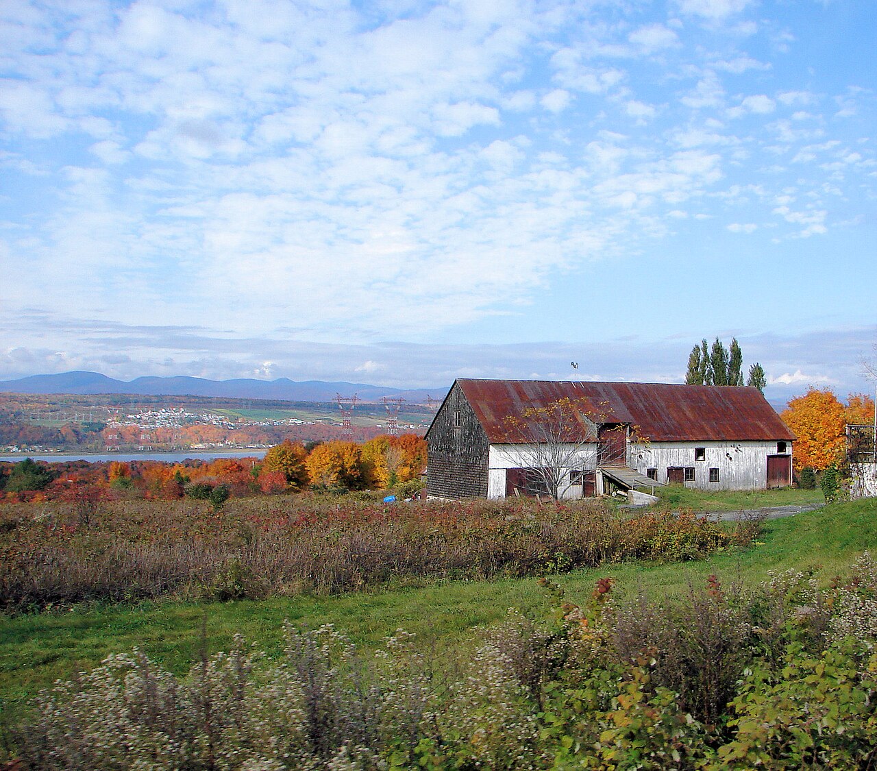
Île d'Orléans is a large island in the Saint Lawrence River, located downstream from Québec City. The island measures approximately 34 kilometres in length and 8 kilometres at its widest point. It is connected to the mainland by the Pont de l'Île bridge. The island comprises six municipalities and is known for its agricultural heritage, historic villages, and scenic river views. It has been settled since the French colonial period and retains a distinct rural character despite its proximity to an urban centre.
Checked 2026-08-26
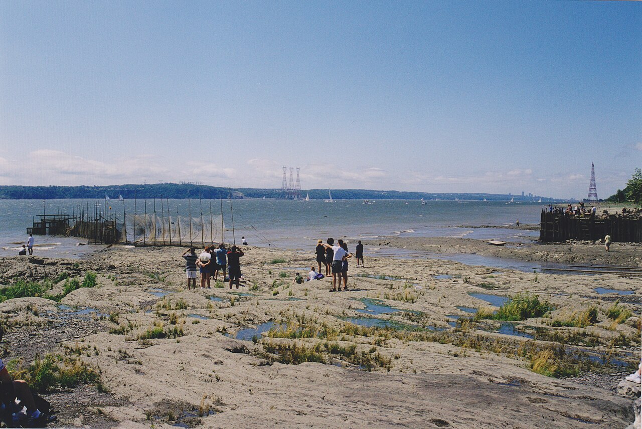
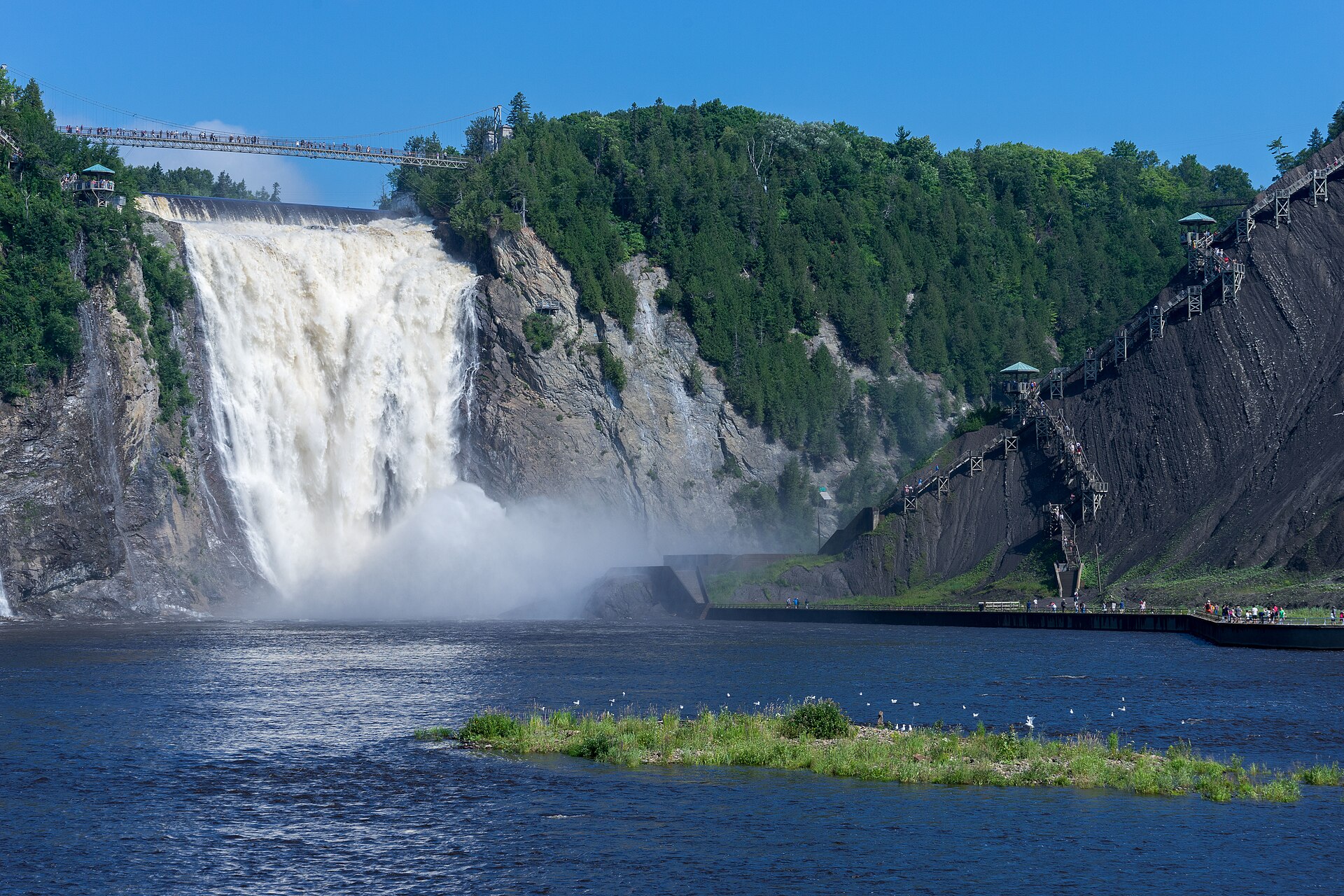
The island contains six villages: Sainte-Pétronille, Saint-Laurent, Saint-Jean, Saint-François, Sainte-Famille, and Saint-Pierre. These settlements feature historic churches, heritage homes, and farmsteads. Agricultural production includes strawberries, apples, and various vegetables. Several cideries and producers operate on the island. Roadside stands and farm shops sell local products. The shoreline offers views of the Saint Lawrence River, the Laurentian Mountains, and Montmorency Falls across the water. The Chemin Royal circles the island, providing access to most points of interest. Île d'Orléans also earns time in a quebec city itinerary because WIKIDATA_EDITORIAL reconciliation for the ranked entry; identity and coordinates were verified without a nearby fallback. Its value becomes clearer when the stop is compared with the surrounding streets and the other ranked places nearby.
Checked 2026-08-26

A complete circuit of the island via the Chemin Royal takes approximately one to two hours of driving without stops. Visitors typically allocate a half-day to full day depending on interests. Those wishing to visit multiple producers, enjoy meals, or walk along shorelines should plan accordingly. The pace is deliberately slow; narrow roads, agricultural traffic, and scenic viewpoints encourage unhurried exploration. Seasonal variations affect available activities, with summer and autumn offering the fullest range of farm visits and product availability.
Checked 2026-08-26
The island is accessible year-round via the Pont de l'Île bridge. Seasonal conditions vary significantly. Winter brings snow and reduced farm activity. Spring sees agricultural renewal and limited product availability. Summer offers peak farm operations and roadside stands. Autumn features harvest activities and foliage. Visitors should verify current opening status directly with establishments before travelling, as agricultural operations maintain variable schedules influenced by crop cycles and weather conditions. Check the operator's own site for the travel date before relying on a schedule or fare.
Checked 2026-08-26
No general admission fee applies to the island itself. Individual producers, attractions, and restaurants set their own pricing. Some farm visits and tastings may involve charges; others operate on a purchase-only basis. Visitors should carry payment methods appropriate for small rural businesses, as not all establishments may accept all card types. Budgeting for purchases of cider, produce, and prepared foods is advisable for those wishing to engage with the island's agricultural economy. A flexible visit lets travellers connect Île d'Orléans with the rest of the day without treating one room, viewpoint or photograph as the whole experience. The useful pace depends on personal interest and conditions on arrival. Check the operator's own site for the travel date before relying on a schedule or fare.
Checked 2026-08-26
The island connects to Québec City via the Pont de l'Île, reached from Boulevard Sainte-Anne in the Beauport borough. Personal vehicle is the most practical access method given dispersed locations and limited public transit. Cycling is possible but requires comfort with road sharing; dedicated cycling infrastructure is limited. No formal island shuttle or bus service is documented in the supplied sources. The bridge crossing is brief, after which the Chemin Royal provides the main circulation route around the island's perimeter.
Checked 2026-08-26

Agricultural traffic including tractors and slow-moving equipment shares narrow roads. Cyclists and pedestrians appear frequently in season. Shoulder parking at viewpoints can obstruct traffic flow. Weather conditions affect road quality and farm operations. Some shoreline areas lack guardrails or defined access points. Tidal and current conditions in the Saint Lawrence River warrant caution for any unauthorised water access. Farm dogs may be present at private properties. Visitors should respect private land boundaries and request permission before entering working agricultural areas or photographing farm operations closely.
Checked 2026-08-26

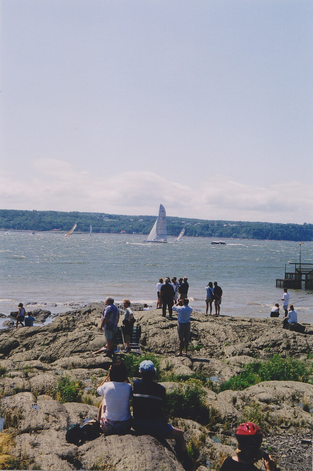
The island offers river views toward the Laurentians, Montmorency Falls, and the Québec City skyline from various shoreline points. Historic churches and heritage buildings appear in each village. Agricultural landscapes include orchards, fields, and vineyard-like plantings. Morning and evening light provides favourable conditions for river-facing compositions. The Pont de l'Île bridge itself offers limited stopping opportunity. Roadside parking at informal viewpoints requires caution. Interior photography at farms and producers requires explicit permission. Seasonal variations in vegetation and crop cover significantly alter visual character throughout the year.
Checked 2026-08-26
The island remains accessible year-round. Winter visits offer solitude and snow-covered landscapes, but farm operations, roadside stands, and many producer activities are reduced or suspended. Visitors should verify specific establishment availability before travelling.
The supplied sources do not document public transit or shuttle services to the island. Personal vehicle is the indicated practical access method. Cycling is possible but requires comfort with road conditions.
The island produces strawberries, apples, various vegetables, and cider. Multiple producers and farm shops operate seasonally. Specific availability depends on harvest cycles and individual business operations.
The island offers rural, agricultural, and shoreline experiences distinct from the urban historic core of Québec City. It functions as a complementary excursion rather than a substitute for city attractions.
The supplied sources do not document designated swimming beaches. The Saint Lawrence River shoreline is present but current conditions, temperatures, and access points vary. Caution is warranted for any water access.
Cider production is documented. The supplied sources do not confirm wine production or vineyard operations. Visitors should verify current product availability directly with individual producers.
Loading the interactive map…
The interactive map could not be loaded.

Last updated:
Source: OpenStreetMap contributors, Wikidata ·