


4 min walk
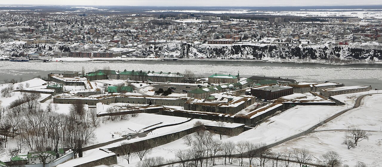
Citadelle of Quebec
- Must see · Heritage site
- Historic monument
Language · 11 published
Activity · Quebec City
| Monday | 00:00 – 23:59 |
|---|---|
| Tuesday | 00:00 – 23:59 |
| Wednesday | 00:00 – 23:59 |
| Thursday | 00:00 – 23:59 |
| Friday | 00:00 – 23:59 |
| Saturday | 00:00 – 23:59 |
| Sunday | 00:00 – 23:59 |
Checked 2026-08-31 · Source
Read from the OpenStreetMap access tags; anything not listed has no tag recorded.
Set the group type to family in the planner and the day window contracts to about three quarters of a solo day.
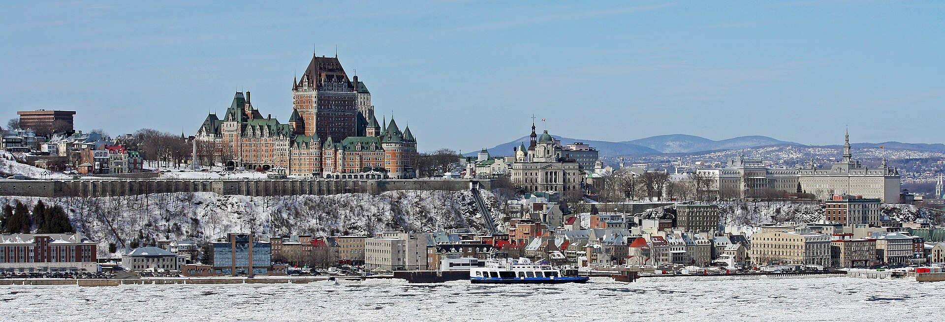
Governors’ Promenade is a cliffside pedestrian boardwalk in Québec City, linking Dufferin Terrace with the Plains of Abraham. It follows the steep topography of Cap Diamant and creates a dramatic walking connection between the fortified Upper Town and one of the city’s major historic parklands. The route is both a scenic passage and a practical way to experience Québec City’s elevation changes. Its character comes from movement along the cliff rather than from a single enclosed attraction. The Governors' Promenade, known locally as the promenade des Gouverneurs, is a cliffside boardwalk in Quebec City. It forms a distinct public walking route that connects Dufferin Terrace with the Plains of Abraham. The walkway follows the steep topography of Cap Diamant, offering pedestrians a dramatic elevated passage between two significant historic sites. As a public thoroughfare, it serves both recreational and practical purposes for visitors exploring the fortified upper town. As an outdoor cliffside boardwalk in Quebec City, winter conditions may affect safe passage.
Checked 2026-08-26 · Source
The promenade consists of a wooden boardwalk built along the cliff face, with no vehicular traffic. As you walk, the route exposes the natural rise of Cap Diamant and connects two very different urban settings: the busy Dufferin Terrace near Château Frontenac and the open historic landscape of the Plains of Abraham. Treat it as an outdoor route rather than a museum-style stop. The experience is shaped by the boardwalk, the slope, the surrounding fortifications, and changing views during the crossing.
Checked 2026-08-26 · Source

The crossing takes longer when you pause for views, rest, or photographs. Allow enough time to walk at a comfortable pace and to explore either endpoint rather than treating the boardwalk as a quick shortcut. The cliffside route includes elevation change, so the effort can feel greater than a similar distance on level streets. Pairing it with Dufferin Terrace, the fortifications, or the Plains of Abraham turns the promenade into part of a broader walking circuit lasting several hours.
Checked 2026-08-26 · Source
Choose a dry, bright day when you want comfortable walking and clearer views, but remember that the exposed boardwalk has a different character in every season. Winter snow and ice can make the wooden surface demanding, while rain may reduce grip and visibility. Wind on Cap Diamant can be stronger than it feels on nearby streets. The promenade is most rewarding when you can walk without rushing, pause safely, and appreciate the transition between the upper city and the parkland.
Checked 2026-08-26 · Source
Governors’ Promenade is a public walking route between Dufferin Terrace and the Plains of Abraham, so the crossing itself belongs in a walking itinerary rather than a ticketed attraction schedule. Paid sites reached from either endpoint are separate experiences with their own arrangements. Budget time for the route, footwear, and weather instead of treating it as an indoor sightseeing venue. Its greatest value is the connection between historic spaces and the elevated landscape of Cap Diamant.
Checked 2026-08-26 · Source

Reach the promenade from either Dufferin Terrace, beside Château Frontenac in the Upper Town, or the Plains of Abraham. Both endpoints are accessible through Québec City’s pedestrian network. The boardwalk provides a direct cliffside connection between these areas, but it does not remove the effort of the slope. Wear shoes suited to wooden surfaces and elevation changes. Travelers can use it as a scenic link after exploring the terrace, or as an approach to the Plains of Abraham from the historic core.
Checked 2026-08-26 · Source

The cliffside setting makes footing important. Wet or icy boards can become slippery, and wind exposure may be significant along the elevated route. The walkway offers little shelter from rain, snow, or cold. Take care near edges and keep children close, especially when stopping for views. Visitors with balance concerns, limited mobility, or discomfort with heights may find the route demanding. Let conditions guide your pace, and choose a street-level alternative when the boardwalk does not feel comfortable.
Checked 2026-08-26 · Source

The promenade offers a moving sequence of elevated perspectives rather than one fixed viewpoint. Photograph the boardwalk against Cap Diamant, the historic Upper Town, the river-facing landscape, and the transition toward the Plains of Abraham. Wind can make long exposures and loose equipment difficult, so keep cameras secure and remain fully attentive to footing. Pause only where you leave the route clear. A few images made from safe stopping points will convey the promenade’s height and atmosphere better than photographing while walking.
Checked 2026-08-26 · Source
It connects Dufferin Terrace near Château Frontenac with the Plains of Abraham, forming a cliffside pedestrian route across Cap Diamant.
It is a wooden boardwalk along a steep cliff face, intended for pedestrians and shaped by elevation change, open air, and views around Québec City’s Upper Town.
Snow, ice, cold, and wind can make the exposed wooden route more demanding. Choose suitable footwear and use a street-level alternative when conditions feel unsafe.
Start at Dufferin Terrace beside Château Frontenac for a connection from the historic core, or begin at the Plains of Abraham when approaching from the parkland.
Wear comfortable shoes suited to wooden surfaces and elevation changes. In exposed weather, carry clothing that protects against wind, rain, snow, or cold.
Combine it with Dufferin Terrace, Château Frontenac, Québec City’s fortifications, or the Plains of Abraham to create a scenic Upper Town walking circuit.
Loading the interactive map…
The interactive map could not be loaded.

Last updated:
Source: OpenStreetMap contributors ·