


.JPG)

14 min walk
Pedra da Gávea
- Must see · Heritage site
- Viewpoint
Language · 1 published
Viewpoint · Rio de Janeiro
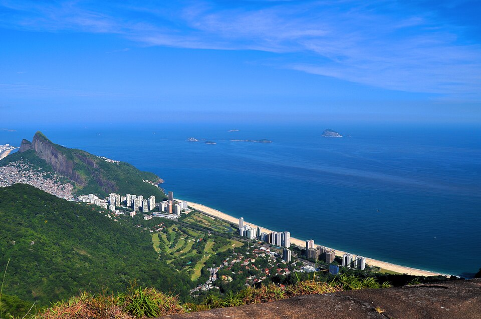
Pedra Bonita is a granite mountain summit in Rio de Janeiro's Tijuca Forest National Park. It rises above the neighborhoods of São Conrado and Barra da Tijuca on the city's southern zone. The site serves as a prominent hang-gliding and paragliding launch point, offering aerial access to the coastal landscape below. The summit provides panoramic views of the Atlantic Ocean, surrounding peaks including Pedra da Gávea, and the urban coastline. Its name translates to Beautiful Rock in Portuguese. The location combines natural scenery with adventure sports infrastructure, making it a notable destination within Rio's mountainous terrain.
Checked 2026-08-26
The summit area features a cleared launch platform used by hang-gliding and paragliding operators. Visitors will find viewpoints overlooking São Conrado beach, the ocean, and adjacent mountains. The terrain includes exposed granite surfaces and Atlantic Forest vegetation along access trails. No constructed visitor center, museum, or commercial facilities are present at the summit itself. The primary attractions are the natural vistas and observation of flight operations. The surrounding Tijuca Forest contains diverse flora and fauna typical of Brazil's coastal rainforest ecosystem. The launch area represents the main human-modified feature within this otherwise natural setting.
Checked 2026-08-26
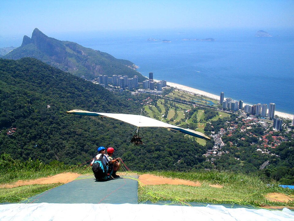
The hike from the trailhead to Pedra Bonita summit typically requires moderate time commitment depending on individual pace and fitness level. Visitors should allocate sufficient duration for ascent, time at the summit, and descent. Those participating in tandem hang-gliding flights will experience additional time for briefing, equipment preparation, and the flight itself, which terminates on São Conrado beach below. Combined activities may extend the overall visit substantially. Weather conditions can affect both hiking comfort and flight operations, potentially causing delays. Visitors should plan flexible scheduling to accommodate these variables without fixed appointment constraints.
Checked 2026-08-26
Operator-confirmed hours are Not recorded pending review. The trail and summit are generally accessible during daylight hours when visibility permits safe hiking and flight operations. Morning conditions often provide clearer atmospheric visibility before afternoon cloud buildup common to coastal mountains. Hang-gliding and paragliding activities depend on specific wind and weather conditions that vary daily. Rain and fog can restrict both trail access and aerial sports. Visitors should consult current local weather forecasts and any operational notices before planning their trip. Seasonal patterns in Rio de Janeiro include wetter summer months and drier winter periods that may influence visit quality.
Checked 2026-08-26
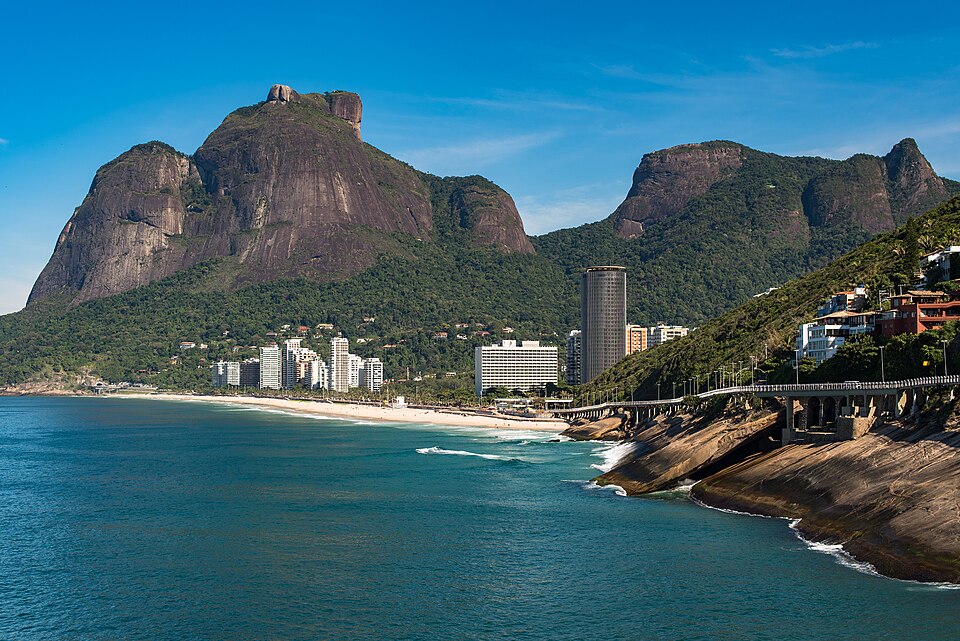
Operator-confirmed prices are Not recorded pending review. Access to the hiking trail and summit viewpoint does not appear to require payment based on available information. Tandem hang-gliding or paragliding flights with commercial operators involve separate fees not specified in available sources. Visitors should verify current costs directly with licensed flight providers before committing to aerial activities. No advance booking requirements are documented for trail access itself. Potential visitors should be prepared for possible costs associated with transportation to the trailhead, guided services if desired, and any optional commercial activities. Payment methods accepted by operators remain unconfirmed.
Checked 2026-08-26

Pedra Bonita is accessed via roads through the Tijuca Forest National Park. Private vehicle, taxi, or rideshare services can reach the trailhead parking area. Public transportation options may require connections and additional walking. The trailhead sits at elevation within the forested mountains, with winding access roads. Visitors without personal vehicles should research current transportation availability and reliability. The hiking trail from the parking area to the summit involves moderate incline on established path. Appropriate footwear and physical preparedness are advisable. Return transportation should be arranged in advance due to limited spontaneous pickup availability in this location.
Checked 2026-08-26
Steep drop-offs at the summit present fall hazards requiring careful movement near edges. Weather changes can occur rapidly in mountain environments, reducing visibility and trail safety. Hang-gliding and paragliding launch operations involve active aircraft movement that visitors should observe from designated areas. Sun exposure is significant at the exposed summit with limited shade. Hydration and sun protection are essential. Trail conditions may become slippery when wet. Wildlife encounters, while generally not dangerous, warrant respectful distance. Cell phone coverage may be inconsistent in this terrain. Visitors should inform others of their plans and estimated return time for safety purposes.
Checked 2026-08-26
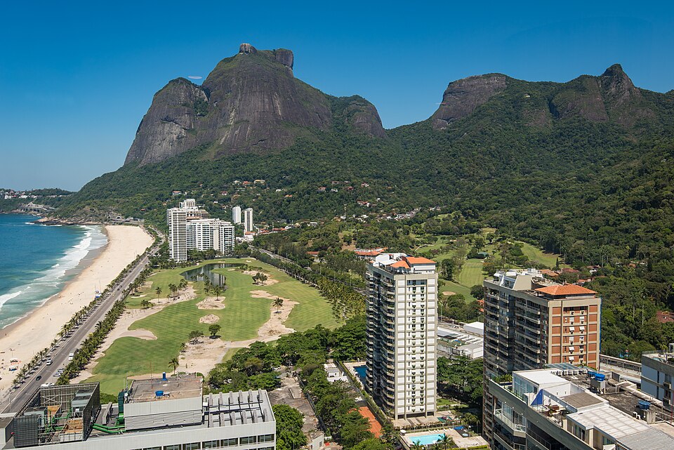
The summit offers extensive photographic opportunities encompassing ocean, beach, city, and mountain vistas. Morning light typically provides clearer atmospheric conditions before haze accumulation. The contrast between granite surfaces, green forest, and blue ocean creates strong visual composition. Hang-gliding and paragliding launches provide dynamic subject matter when flights are operating. Wide-angle lenses accommodate the expansive panoramic views. Midday sun creates harsh shadows on the terrain. Sunset timing may conflict with safe descent requirements given trail access depends on daylight. Drone operation would require verification of current regulations within national park boundaries and near active flight zones.
Checked 2026-08-26
The trail involves moderate incline to reach the summit. Reasonable fitness and appropriate footwear are advisable. The path is established but includes natural terrain variations.
Yes, observation of launch operations is possible from the summit area. Visitors should maintain safe distances from active launch zones and follow any guidance from operators present.
Not recorded. The summit area appears to lack constructed facilities. Visitors should plan accordingly before ascending.
Not recorded. The trail appears accessible for self-guided hiking, though visitors unfamiliar with the terrain may prefer accompanied visits.
Water, sun protection, appropriate footwear, and weather-appropriate clothing are prudent given exposed conditions and mountain environment variables.
Not recorded. The hiking trail involves natural terrain with incline, which may present challenges. Specific accessibility accommodations are not documented.
Loading the interactive map…
The interactive map could not be loaded.
Last updated:
Source: OpenStreetMap contributors, Wikidata ·