
.jpeg)
2.jpeg)


3 min walk
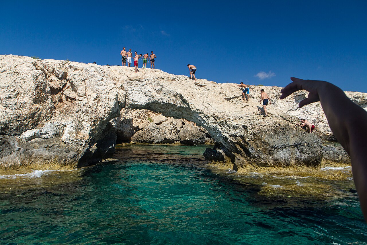
Love Bridge
- Must see
- Historic monument
Language · 11 published
Activity · Da Nang
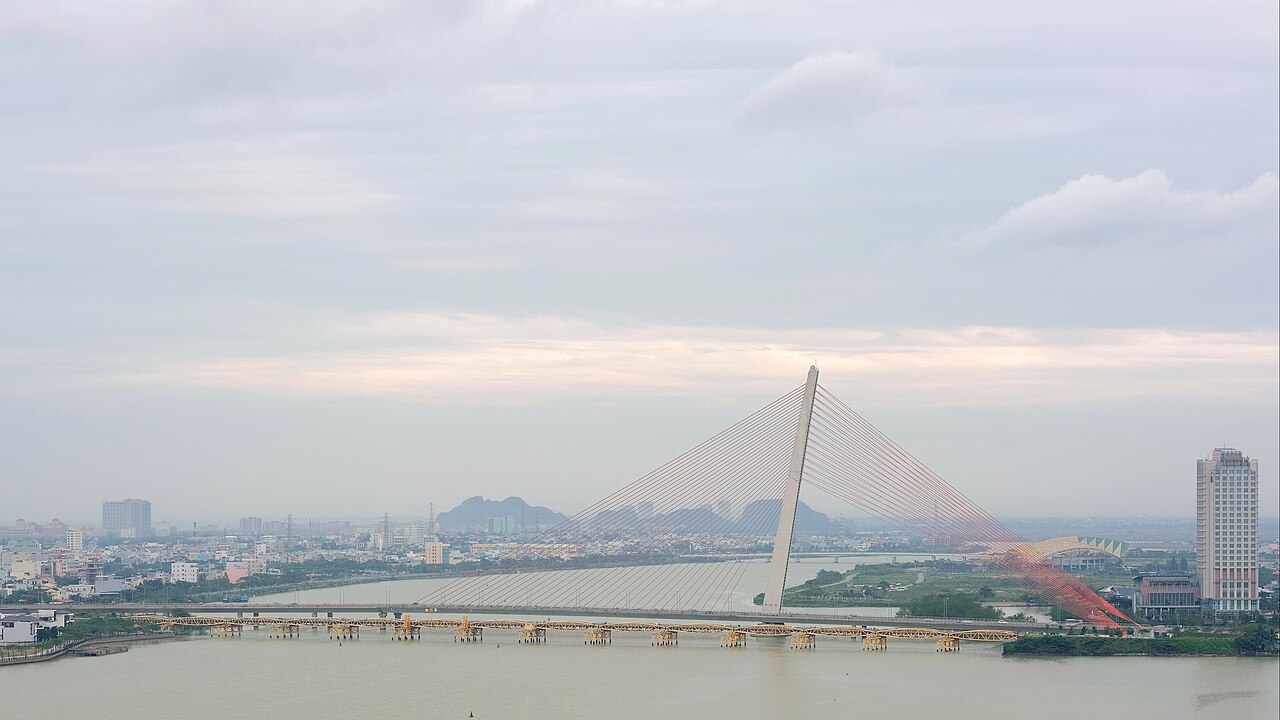
Tran Thi Ly Bridge is a cable-stayed bridge spanning the Han River in Da Nang, Vietnam. The structure serves as a vital transportation link connecting districts of the central Vietnamese city. Named after a historical figure, the bridge contributes to Da Nang's developing urban infrastructure. It represents one of several river crossings that facilitate movement across the waterway dividing the city. The bridge has become a recognizable element of Da Nang's riverside cityscape for residents and visitors traversing the area.
Checked 2026-08-26
The bridge functions as a vehicular and pedestrian thoroughfare with dedicated lanes for traffic flow. Visitors can walk along designated pathways to observe the Han River and surrounding urban environment. The cable-stayed design features prominent pylons and suspension cables visible from multiple vantage points. The structure offers views of neighboring bridges along the river corridor. Riverside promenades on either bank provide additional spaces for observation. The immediate area includes developing commercial and residential zones characteristic of Da Nang's growth. Tran Thi Ly Bridge also earns time in a da nang itinerary because WIKIDATA_EDITORIAL reconciliation for the ranked entry; identity and coordinates were verified without a nearby fallback. Its value becomes clearer when the stop is compared with the surrounding streets and the other ranked places nearby.
Checked 2026-08-26
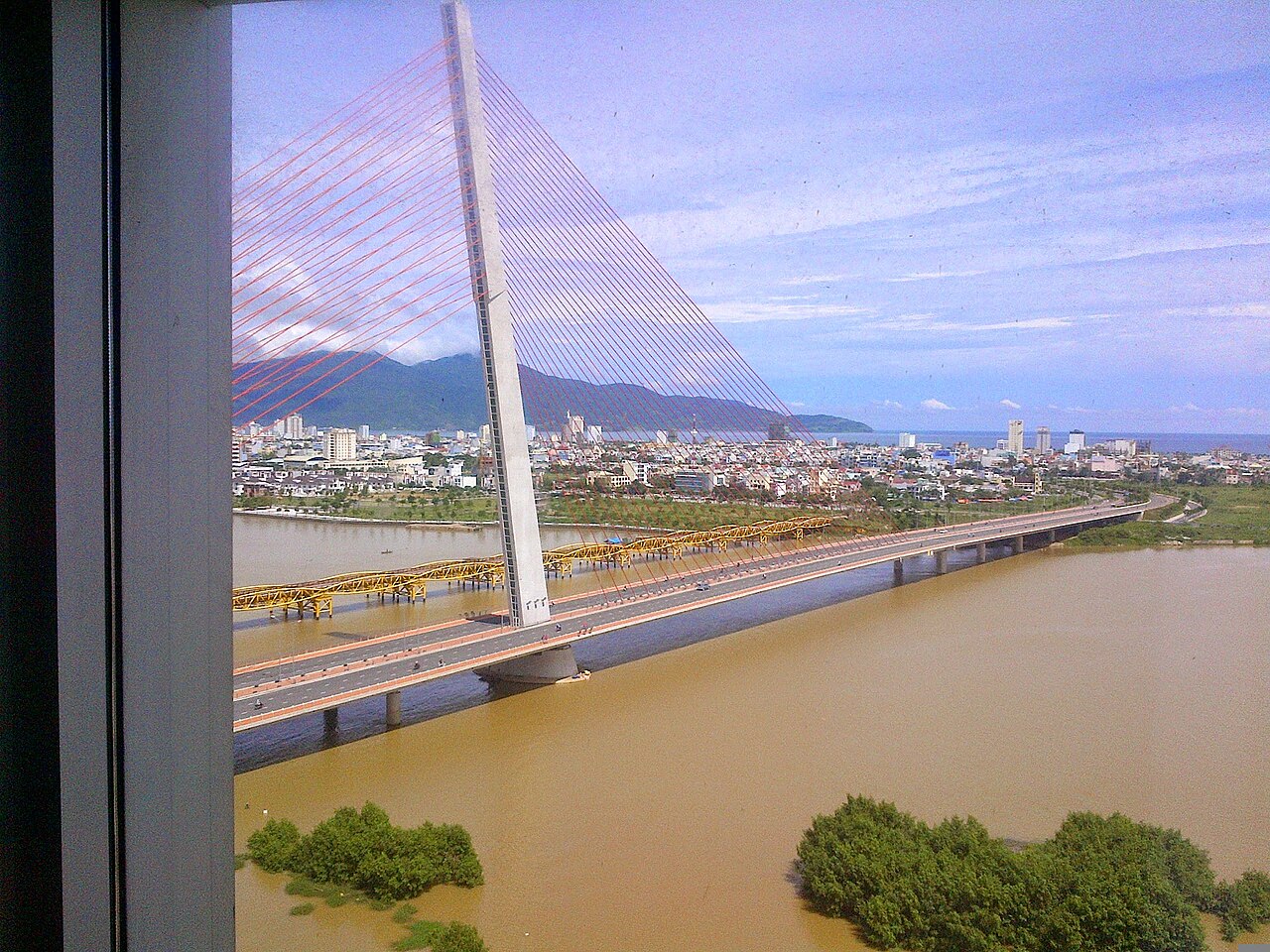
A crossing on foot typically requires ten to twenty minutes depending on pace and stops for observation. Visitors often allocate additional time for photography and viewing the river environment from midway positions. The experience extends naturally when incorporating adjacent riverside walkways into the visit. Evening periods attract longer stays as visitors observe changing light conditions. Combined exploration with nearby bridges or riverside amenities can extend the overall duration to one hour or more. Individual pacing determines appropriate time allocation.
Checked 2026-08-26

The bridge functions continuously as public infrastructure, though pedestrian access conditions may vary. Evening hours offer illuminated views of the structure and surrounding cityscape. Dawn and dusk periods provide transitional lighting favorable for observation. Weather conditions in Da Nang include distinct wet and dry seasons affecting visitor comfort. Tropical conditions may influence timing decisions. Visitors should verify current access conditions locally before planning specific timing. Seasonal variations in river levels and atmospheric conditions affect the visual experience. Check the operator's own site for the travel date before relying on a schedule or fare.
Checked 2026-08-26
The bridge operates as public infrastructure without evident admission mechanisms for standard pedestrian or vehicular passage. No ticketing infrastructure is apparent from available documentation. Visitors should not anticipate entry fees for basic bridge access. Ancillary services or organized experiences in the surrounding area may involve separate commercial arrangements. Local verification is advisable for any guided activities or special access provisions. Standard travel budgeting should account for transportation costs to reach the bridge location rather than bridge-specific admission. Check the operator's own site for the travel date before relying on a schedule or fare.
Checked 2026-08-26
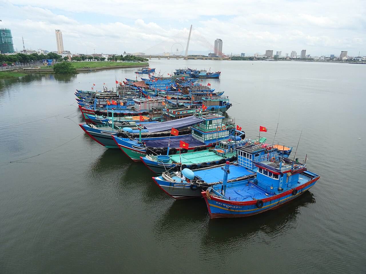
The bridge occupies a central position along the Han River within Da Nang's urban fabric. Visitors can approach from multiple directions using the city's road network. Motorbike taxi and conventional taxi services operate throughout Da Nang for point-to-point transport. Public bus routes serve the broader river corridor area. Walking access is feasible from accommodations in central districts. The bridge connects areas on opposite banks, enabling approach from either side. Navigation references to the Han River and neighboring bridge structures assist orientation. Local inquiry assists identification of optimal access points.
Checked 2026-08-26
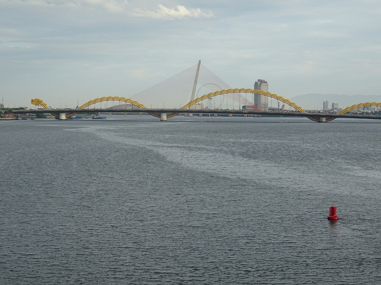
Motorized traffic demands constant awareness when using pedestrian pathways. Vietnamese traffic patterns require cautious navigation at bridge approaches and exits. Weather exposure is significant given limited shelter along the span. Sun protection and hydration warrant attention during daytime visits. Evening lighting conditions affect visibility for photography and safe movement. River winds may create cooler conditions than inland areas. Structural maintenance activities could intermittently affect access. Standard urban precautions apply to personal belongings. The bridge environment lacks emergency services presence, requiring self-reliant visitor behavior.
Checked 2026-08-26

The cable-stayed structure offers geometric compositions emphasizing vertical pylons and radiating cables. Mid-span positions capture symmetrical perspectives of the design. River reflections vary with conditions, occasionally doubling visual elements. Adjacent bridges create layered depth in wider compositions. Golden hour and blue hour periods modify color temperature significantly. Night photography benefits from artificial illumination on structural elements. Tripod use requires attention to pedestrian and traffic flow. Elevated positions on riverbanks may offer superior overall perspectives than on-bridge positions. Weather haze affects distant visibility during certain seasons.
Checked 2026-08-26
The bridge includes designated pedestrian pathways, though visitors should remain attentive to adjacent motorized traffic and verify current conditions locally.
Evening periods offer illuminated views, while dawn and dusk provide transitional natural lighting. Conditions vary seasonally.
The structure functions as public infrastructure without evident admission requirements. Check the operator's own site for the travel date before relying on a schedule or fare.
The cable-stayed design distinguishes it visually from other Han River crossings, contributing to the city's collection of architecturally varied bridges.
Public bus routes serve the broader river corridor. Taxis and motorbike taxis provide direct access. Walking is feasible from central accommodations.
Motorized traffic requires constant awareness. Weather exposure, limited shelter, and evening visibility changes warrant preparation. Standard urban precautions apply.
Loading the interactive map…
The interactive map could not be loaded.
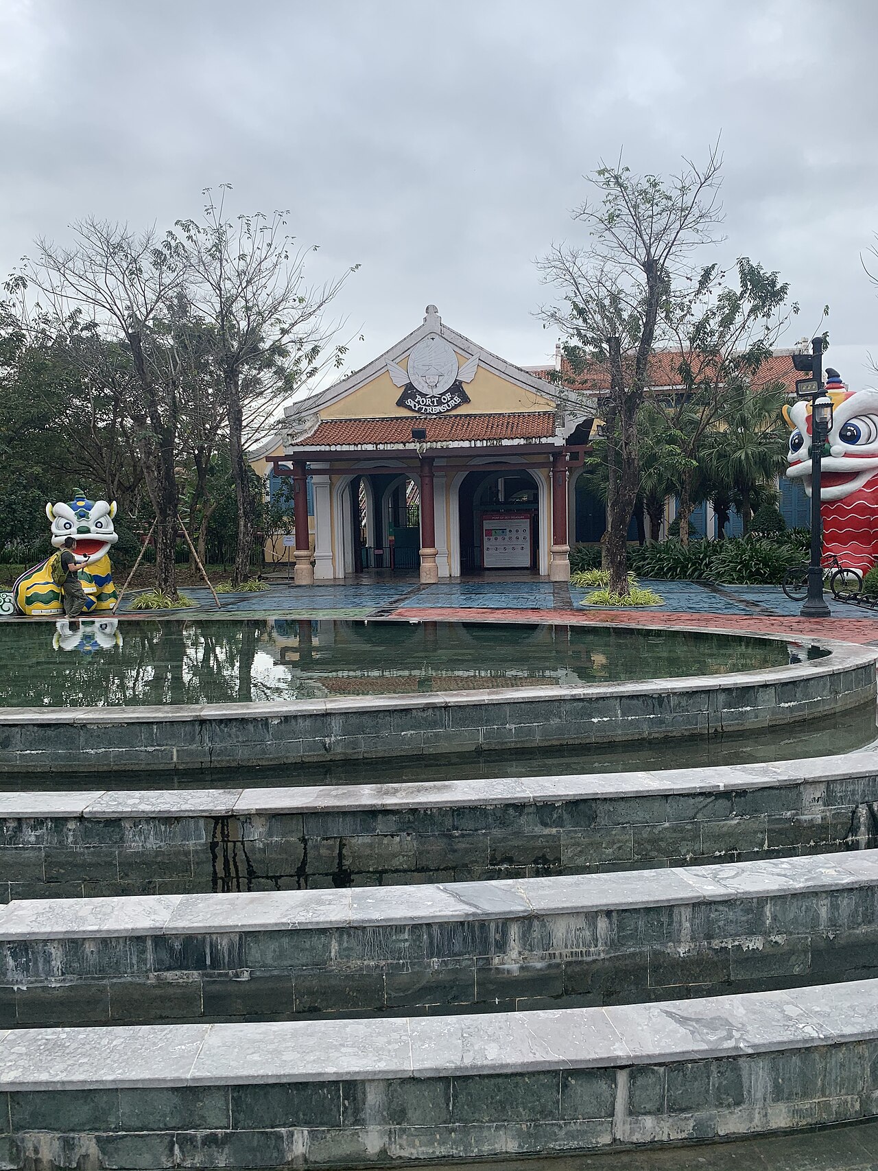

Last updated:
Source: OpenStreetMap contributors, Wikidata ·