

10 min walk
Ban Co Peak
- Must see
- Viewpoint
Language · 11 published
Nature site · Da Nang
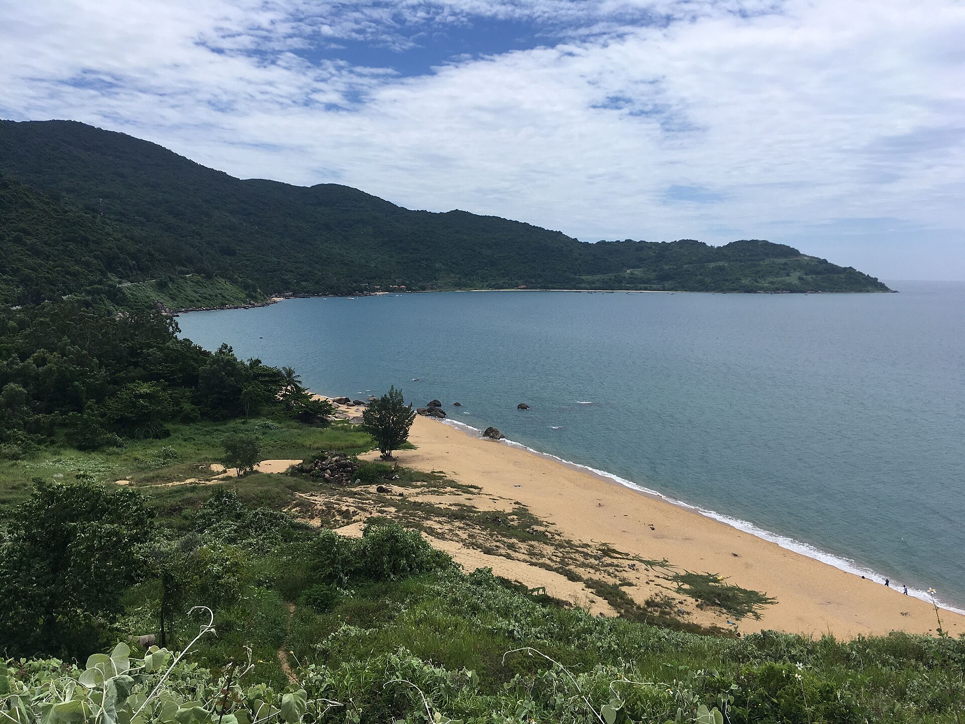
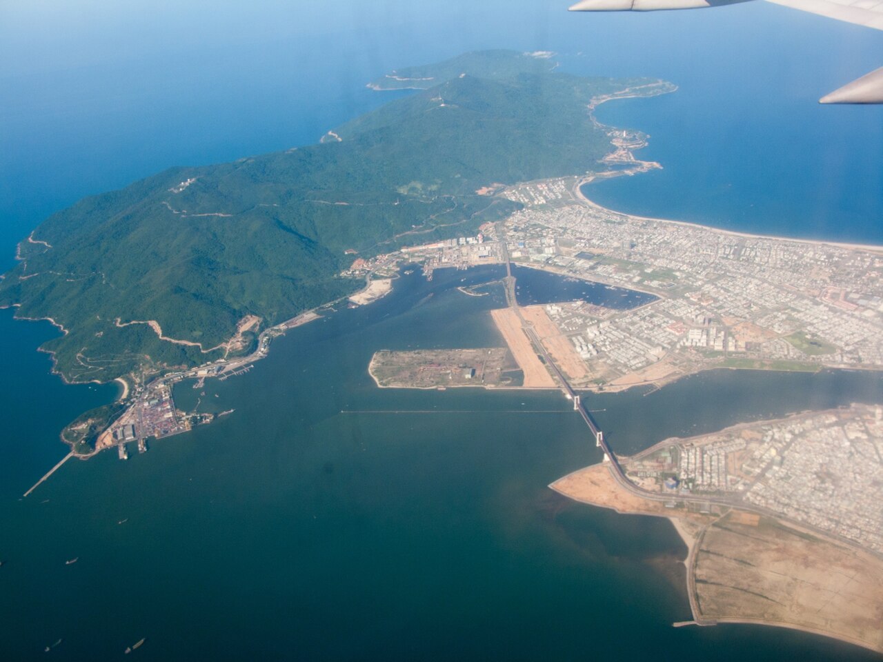
Son Tra Peninsula is Da Nang's forested headland projecting into the East Sea about ten kilometres northeast of the city centre. The municipal tourism portal records an area of 4,390 hectares, a highest point of 696 metres and a coastline shaped by forest, slopes and beaches. Son Tra is both a nature reserve and a broad visitor landscape, not one gated attraction. The ranked stop therefore represents a route through the peninsula; individual pagodas, museums, beaches, marinas and paid activities remain separate destinations with their own conditions.
Checked 2026-08-28 · Source
Son Tra combines near-primeval forest, coastal viewpoints, wildlife habitat and cultural stops. The official guide identifies Linh Ung Pagoda, Ban Co Peak, the Heritage Banyan Tree, Vong Canh House, Tien Sa Lighthouse, Dong Dinh Museum and Tien Sa Beach among its highlights. Ban Co Peak requires leaving the vehicle and climbing a steep staircase, while the reserve shelters rare red-shanked douc langurs. Do not read this list as one included circuit: the peninsula covers thousands of hectares, and museums, cruises, diving, paragliding or resort facilities can be separately managed experiences.
Checked 2026-08-28 · Source
Allow about three hours for a focused Son Tra Peninsula route, matching the editorial duration of this ranked stop. The municipal tourism portal suggests roughly three to five hours for a half-day itinerary and six to eight hours for a full-day circuit, so three hours requires a limited selection rather than every highlight. Choose two or three compatible stops before departure and include road time between them. Add separate time only after confirming access to a museum, beach activity, cruise, café or pagoda visit that matters to the plan.
Checked 2026-08-28 · Source
Use the designated tourism routes between 07:30 and 18:30 from March through September, or between 07:30 and 17:30 from October through February. The official portal states that barriers are locked outside these periods and visiting or picnicking is not permitted without competent-authority approval. March to September is also recommended for lower rain, fewer storms and clearer visibility. October to February can bring heavy rain, fog, cooler weather and slippery roads, so avoid stormy conditions and recheck current official local updates before setting out.
Checked 2026-08-28 · Source
A peninsula-wide admission price or reservation requirement is Not recorded on the official Son Tra guide. The destination includes open landscapes alongside separately operated museums, cruises, diving, paragliding, resorts, cafés and other services, so one payment rule cannot cover the whole route. Confirm any fee, booking, cancellation term and included equipment directly with the named operator before paying. The absence of a general peninsula ticket does not establish that every attraction, car park, beach facility or activity is free, and this guide does not infer a price from category or location.
Checked 2026-08-28 · Source
Reach Son Tra from Da Nang, then remain on one of the three designated visitor routes published by the municipal tourism portal. The rules exclude automatic motorcycles or scooters and buses carrying more than twenty-four seats on specified sections; the Ban Co Peak to Bac Beach section is one-way in that direction. Checkpoints control entry and exit, and remaining branch roads are closed to visitor vehicles where infrastructure is unsafe. Because the peninsula is large, navigate to the selected first stop rather than a general pin, and verify current restrictions before choosing transport.
Checked 2026-08-28 · Source
Son Tra is a protected nature reserve with controlled mountain roads. Do not feed or provoke langurs or monkeys; observe quietly from a distance, avoid littering and do not disturb habitat. Rain and fog can make roads slippery and reduce visibility, while closed branch roads and checkpoint instructions must be respected even when a map suggests a shortcut. The official source does not publish one peninsula-wide accessibility standard, emergency plan or dress rule, so those details are Not recorded. Carry water, allow daylight for the return and follow current signs and authority notices.
Checked 2026-08-28 · Source
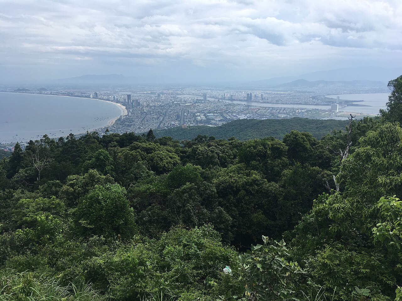
Photograph Son Tra as a relationship between forest, steep relief, Da Nang and the East Sea. Ban Co Peak, Vong Canh House and the coastal roads provide distinct viewpoints, while the rare red-shanked douc langur requires restraint rather than pursuit. Keep to permitted routes, maintain a quiet distance from wildlife and never use food to draw an animal closer. The official guide does not publish peninsula-wide rules for drones, tripods or commercial work, so those permissions are Not recorded. Fog and changing mountain weather can alter visibility quickly; protect equipment and leave before barriers close.
Checked 2026-08-28 · Source
Son Tra is Da Nang's 4,390-hectare forested headland and nature reserve, combining mountain roads, coastline, viewpoints, wildlife habitat and cultural stops.
Allow about three hours for a focused route. The official tourism portal suggests three to five hours for a half-day and six to eight hours for a full-day circuit.
Designated routes permit visits from 07:30 to 18:30 from March through September and 07:30 to 17:30 from October through February; barriers lock outside those periods.
A peninsula-wide ticket or admission price is Not recorded. Confirm charges separately for museums, cruises, diving, paragliding, resorts and other managed services.
No. The municipal tourism portal instructs visitors not to feed or provoke wildlife, to observe quietly from a distance and to avoid disturbing the habitat.
No. Published restrictions exclude automatic scooters and buses over twenty-four seats on specified routes, and some branches are closed because they do not meet traffic-safety conditions.
Loading the interactive map…
The interactive map could not be loaded.
Last updated:
Source: OpenStreetMap contributors ·