
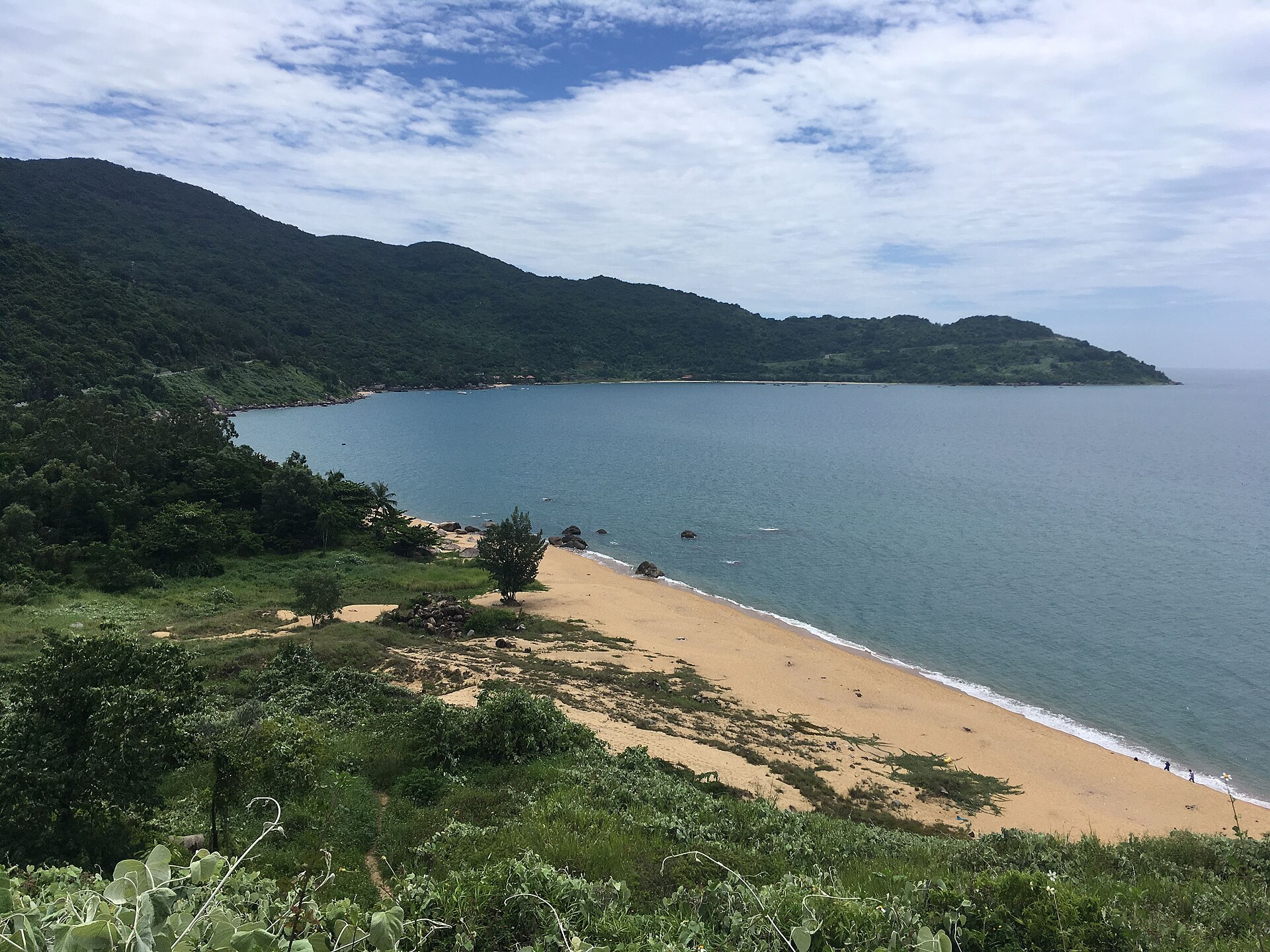
10 min walk
Son Tra Peninsula
- Must see
- Nature site
Language · 11 published
Viewpoint · Da Nang

| Monday | 07:30 – 18:30 |
|---|---|
| Tuesday | 07:30 – 18:30 |
| Wednesday | 07:30 – 18:30 |
| Thursday | 07:30 – 18:30 |
| Friday | 07:30 – 18:30 |
| Saturday | 07:30 – 18:30 |
| Sunday | 07:30 – 18:30 |
Checked 2026-08-31 · Source
Read from the OpenStreetMap access tags; anything not listed has no tag recorded.
Set the group type to family in the planner and the day window contracts to about three quarters of a solo day.
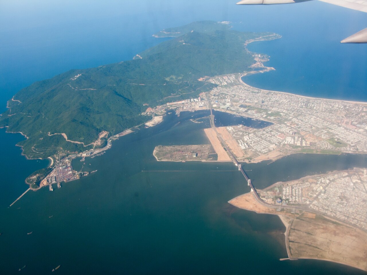
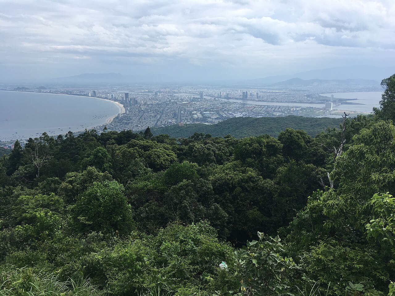
Ban Co Peak is a prominent elevated viewpoint located in Da Nang, a major coastal city in central Vietnam. The peak offers panoramic vistas over the surrounding landscape, including urban areas, coastline, and mountainous terrain. It sits within the broader geographical context of Da Nang, which lies between Hanoi and Ho Chi Minh City along Vietnam's narrow central coastal strip. The city serves as a significant tourism and transportation hub, with the peak representing one of its accessible natural elevated attractions for visitors seeking elevated perspectives of the region.
Checked 2026-08-31 · Source
The peak area itself consists primarily of open elevated terrain with viewing opportunities. Visitors can expect minimal built infrastructure typical of natural viewpoints. The surrounding region encompasses the varied geography characteristic of Da Nang's position, where the Annamite Range meets the South China Sea. Vegetation reflects central Vietnam's tropical climate patterns. No specific facilities, structures, or amenities at the peak itself are documented in available sources. The experience centers on the natural setting and the views obtainable from this elevated position rather than constructed attractions or interpretive installations.
Checked 2026-08-31 · Source
The duration of a visit to Ban Co Peak depends substantially on individual preferences and the approach route selected. Visitors typically allocate between one and three hours for the experience, encompassing travel to the viewpoint, time spent observing the scenery, and return. Those incorporating photography, extended contemplation of the landscape, or combining the visit with other nearby attractions may extend this timeframe. The physical demands of reaching the peak will influence pacing for different fitness levels. No guided tour durations or recommended minimum visit lengths are recorded in available sources.
Checked 2026-08-31 · Source
Daily: March–September 07:30–18:30; October–February 07:30–17:30. No regular weekly closure. Access barriers are locked outside visiting hours, and visits are suspended when adverse-weather warnings are issued. Da Nang experiences a tropical monsoon climate with significant seasonal variation that affects visitor comfort at elevated outdoor locations. The dry season, generally from January through August, typically offers more favorable conditions for outdoor viewing with reduced rainfall probability. Wet season months from September through December bring higher precipitation chances that may obscure views and complicate access. Morning and evening hours may provide optimal lighting for observation. Visitors should consult current local conditions before planning, as weather patterns can vary annually and affect visibility from the peak.
Checked 2026-08-31 · Source
Free general admission. No admission pricing structure for Ban Co Peak is documented in the available source material. The peak may operate without formal entry controls, or any fee structures that exist may not be publicly listed in accessible English-language sources. Visitors should prepare for either possibility and carry appropriate payment methods if fees are collected at entry points. Any ancillary costs such as transportation, guide services, or equipment rental would be separate considerations. Travelers are advised to verify current arrangements through local tourism offices or accommodation providers immediately before visiting.
Checked 2026-08-31 · Source
Da Nang bus Route 10 runs between Da Nang Airport and Tho Quang, terminating at the Nguyen Phan Vinh–Hoang Sa intersection; continue from Tho Quang by taxi or another permitted road vehicle. Approach Ban Co Peak via Yet Kieu Road and the designated Route 2. Between the Da Nang Radio and Television transmission station and the peak, scooters and buses with more than 24 seats are prohibited. Vehicles must stop below the summit, followed by a steep stair climb. Da Nang possesses substantial transportation infrastructure including an international airport with domestic and regional connections, railway station on the north-south line, and road access via National Route 1A. The specific route, distance from central accommodations, and road conditions are not detailed in available sources.
Checked 2026-08-31 · Source
The summit is not step-free: visitors must leave their vehicle below the viewpoint and climb a steep staircase. The steep final approach makes the summit unsuitable for independent wheelchair access. Elevated natural viewpoints in tropical climates present inherent considerations for visitors. Weather conditions can change rapidly, affecting visibility and surface conditions on approach routes. Sun exposure may be intense during midday hours with limited shade at open peaks. The physical exertion of ascending to elevation may affect those unaccustomed to heat or activity. Remote locations may have limited communication coverage and delayed emergency access. Visitors should carry adequate water, sun protection, and inform others of their plans. No specific hazards for Ban Co Peak are documented, but standard precautions for elevated outdoor sites in Vietnam apply.
Checked 2026-08-31 · Source
Ban Co Peak offers photographic potential encompassing panoramic landscape views, urban panoramas, and possibly coastal or mountain vistas depending on specific sightlines. The elevated position provides opportunities for wide-angle compositions capturing Da Nang's geographical context. Lighting conditions vary throughout the day, with sunrise and sunset potentially offering enhanced atmospheric effects. No restrictions on photography are documented, though standard respect for any local practices applies. Equipment needs will depend on individual photographic goals; the open setting suggests wind exposure that may affect stability. No specific iconic compositions or recommended vantage points within the peak area are recorded in available sources.
Checked 2026-08-31 · Source
Yes. The designated Son Tra visitor routes serving Ban Co Peak reopened on 16 September 2025 and operate within seasonal access hours, subject to weather-related suspension.
The viewpoint is approximately 700 metres above sea level.
The summit overlooks Da Nang, including the Han River and the city's bridges, as well as the surrounding mountains and sea.
No. Vehicles stop below the summit, and visitors complete the final approach on a steep staircase.
Scooters and buses with more than 24 seats are prohibited on the section from the Da Nang Radio and Television transmission station to Ban Co Peak.
No. The road beyond Ban Co Peak operates one-way toward Bac Beach.
Loading the interactive map…
The interactive map could not be loaded.
Last updated:
Source: OpenStreetMap contributors ·