
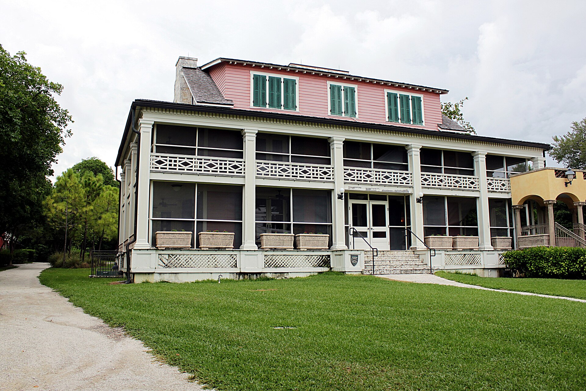
191 min walk
Deering Estate
- Must see
- Historic monument
Language · 11 published
Nature site · Miami
| Monday | 09:00 – 17:00 |
|---|---|
| Tuesday | 09:00 – 17:00 |
| Wednesday | 09:00 – 17:00 |
| Thursday | 09:00 – 17:00 |
| Friday | 09:00 – 17:00 |
| Saturday | 09:00 – 17:00 |
| Sunday | 09:00 – 17:00 |
Checked 2026-08-31 · Source
Read from the OpenStreetMap access tags; anything not listed has no tag recorded.
Set the group type to family in the planner and the day window contracts to about three quarters of a solo day.
Biscayne National Park protects a predominantly marine landscape south of Miami, where aquamarine water, mangrove shoreline, coral reefs, and offshore islands meet. It includes Biscayne Bay, the coral keys, and part of the Florida Reef. The park also preserves traces of human activity spanning thousands of years, including Indigenous history, farming, and shipwrecks. Because most of the park lies on water, the experience depends on how you reach its islands, reefs, and maritime heritage sites. Biscayne National Park protects a rare combination of aquamarine waters, emerald islands, and coral reefs. Located south of Miami, it encompasses Biscayne Bay, its offshore barrier islands, and the northernmost Florida Keys. The park preserves evidence of 10,000 years of human history, from prehistoric peoples to pineapple farmers and shipwreck divers. Yes, for most of the park. Ninety-five percent of the park is water. The mainland visitor center is accessible by car, but reaching islands, reefs, and shipwrecks requires a boat. The park concession offers boat tours, or visitors may use private vessels.
Checked 2026-08-26 · Source
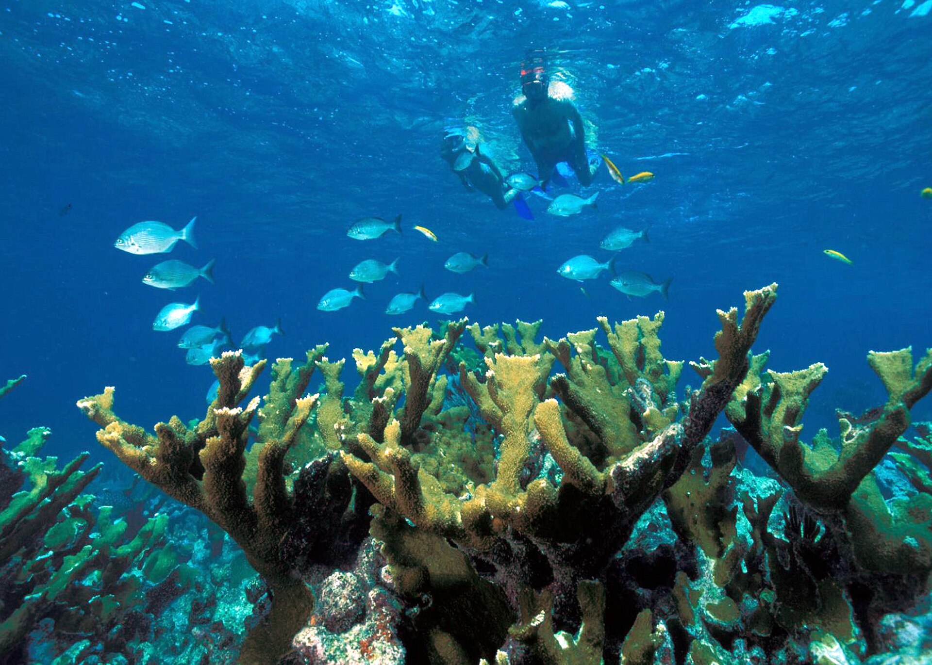
Four environments define the park: mangrove coast, shallow Biscayne Bay, coral keys, and the offshore Florida Reef. The Maritime Heritage Trail links shipwreck sites for visitors exploring by water. Boca Chita Key is known for its historic lighthouse, while Elliott Key is the largest island and includes a campground. The Dante Fascell Visitor Center at Convoy Point introduces the park's natural and cultural setting. Snorkelling, diving, boating, and paddling reveal parts of the park that cannot be seen from land.
Checked 2026-08-26 · Source
The visitor-center area can work as a shorter stop, but reaching the islands, reefs, or wrecks usually turns the visit into a half-day or full-day outing. Boat excursions need several hours, and weather or tide conditions can alter the rhythm of the day. Camping on Elliott Key or Boca Chita Key extends the stay beyond a simple excursion. Divers may dedicate several days to different reef and wreck locations. Choose the water activity first, then shape the rest of the day around its departure and return.
Checked 2026-08-26 · Source
Winter generally brings milder temperatures and calmer seas, making it attractive for boating, snorkelling, diving, and paddling. Summer is hotter and more humid, with frequent afternoon thunderstorms. From June through November, hurricane-season weather can interrupt marine travel. Wind, tide, and underwater visibility change from day to day, so the same route can feel very different on separate visits. December through April is a busy period in South Florida. Early starts can provide more comfortable conditions and calmer time on the water.
Checked 2026-08-26 · Source
There is no entrance charge at the mainland visitor center, but reaching most of the park involves a boat, concession excursion, or private vessel. Boat tours, equipment rental, and island camping carry separate costs. A mainland visit and a reef trip are therefore different experiences with different expenses. If you want to snorkel, dive, see Boca Chita Key, or visit shipwrecks, plan for the water-based service or equipment required. Keep camping arrangements separate from ordinary visitor-center access because the islands are reached only by boat.
Checked 2026-08-26 · Source
Drive to the Dante Fascell Visitor Center at Convoy Point through Southwest 328th Street in Homestead, roughly thirty-five miles south of Downtown Miami. The mainland site is reachable by road, but no bridges connect the visitor center to the islands. Boat trips from the area provide access to reefs, keys, and wrecks. Private boaters can use nearby launch facilities, while experienced kayakers may paddle from the mainland. Open-water distances, weather, and equipment make the marine journey more demanding than the short drive to Convoy Point.
Checked 2026-08-26 · Source
Conditions on the water can change quickly, especially when afternoon storms develop. Strong currents affect snorkellers and divers, while shallow water and submerged obstacles challenge boat navigation. Sun exposure is intense over open water, and mangrove areas can contain mosquitoes and biting insects. Remote islands have limited fresh water, mobile coverage, and emergency facilities. Carry enough water, communication equipment, and supplies for your route, and remove your rubbish from the islands. Stinging marine life is another reason to follow water-safety guidance closely.
Checked 2026-08-26 · Source
Biscayne Bay offers strong sunrise and sunset compositions, with mangrove reflections, turquoise water, and changing cloud colour. Boca Chita lighthouse adds a clear architectural subject against the seascape. Underwater photographers can work around coral, sponges, fish, and other marine life when equipped for the conditions. Wading birds and ospreys provide land-based subjects near the mangrove shoreline. Water clarity depends on weather and visibility, so keep flexible framing in mind. Drone flights require specific National Park Service authorisation and are not a casual option.
Checked 2026-08-26 · Source
Yes. The mainland visitor center is reachable by car, but most islands, reefs, and shipwreck sites require a boat. Visitors can join a concession excursion or use a suitable private vessel.
Camping is available on Elliott Key and Boca Chita Key. Both islands are reached by boat, and their remote setting means campers need to plan water, supplies, and waste removal carefully.
Yes. The park includes part of the Florida Reef and shipwrecks along the Maritime Heritage Trail. These sites are reached by water, and currents, weather, tide, and visibility affect the experience.
No entrance charge is collected at the Dante Fascell Visitor Center. Boat tours, equipment rental, and camping are separate activities with their own costs.
The park supports coral, sponges, fish, sea turtles, and marine habitats used by manatees. Mangrove shorelines also attract herons, egrets, ospreys, and pelicans.
Winter generally offers milder temperatures and calmer seas. Summer brings heat, humidity, and afternoon storms, while hurricane-season weather can affect marine access from June through November.
Loading the interactive map…
The interactive map could not be loaded.


Last updated:
Source: OpenStreetMap contributors ·