452 min walk
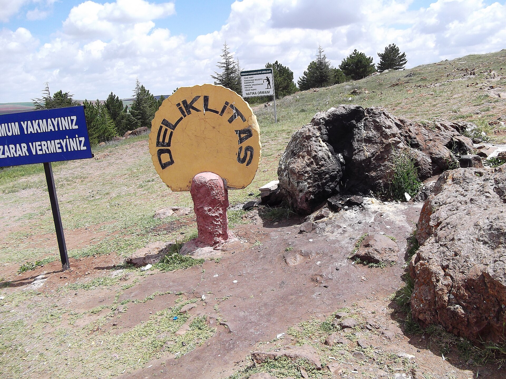
Deliklitaş
- Notable
- Historic monument
Language · 11 published
Historic monument · Nevşehir
Gökçe Höyüğü is a rural settlement mound in Kozaklı district of Nevşehir province, positioned between Karahasanlı and Yassıca. Its identity is carried by the raised earthwork itself: a visible archaeological landform within open countryside, not a reconstructed building or museum display. Ministry of Culture and Tourism protection records list it as a first-degree archaeological site. That classification makes the mound, its profile and its surrounding setting the focus of the visit. This is a quiet field-based heritage stop for travellers who want to see how a protected archaeological place occupies the landscape around Kozaklı. There are no documented exhibits or architectural reconstructions to compete with the terrain.
Checked 2026-09-02 · Source
The visit centres on the mound and the open rural ground around it. Available information does not document a museum building, interpretation hall, reconstructed walls, formal excavation display, built visitor path or viewing platform at Gökçe Höyüğü. Instead, look for the landform’s elevation, outline, slope and relationship with nearby fields and hills. Moving to a suitable observation point can make the mound easier to distinguish from the wider countryside. Its archaeological meaning is therefore read through place and terrain rather than labels or objects in cases. Keep the whole setting in view, including the approach, the horizon and the way the mound sits within the surrounding settlement landscape. Leave the ground undisturbed.
Checked 2026-09-02 · Source
Allow roughly 30 to 60 minutes for a focused visit. The time depends on where you can responsibly leave your vehicle, how close the approach allows you to get and how much of the surrounding rural ground you inspect on foot. Begin with a few minutes of orientation, then compare the mound’s profile from stable viewpoints and relate it to nearby landscape features. There is no documented gallery sequence, guided circuit or exhibition programme setting a fixed duration. Add time for the final walk if the track is unsuitable for driving. Visitors who find uneven ground difficult may prefer a shorter observation stop from the safest practical position.
Checked 2026-09-02 · Source
Plan the visit in daylight and choose weather that makes walking over a natural, sloping mound manageable. Morning or late-afternoon light can help the profile stand out against the surrounding countryside and avoids the strongest summer heat. Recent rain or snow may soften rural tracks and make the final walk slippery, so ground conditions should influence the decision as much as the forecast. Leave enough daylight for the return to your vehicle, especially if you are unfamiliar with the area. In hot weather, an earlier or later stop is more practical than standing on exposed ground at midday. The site has no documented scheduled visitor programme.
Checked 2026-09-02 · Source
The protection listing establishes Gökçe Höyüğü as a first-degree archaeological site, but it does not record a visitor tariff, a free-entry policy or a ticketing procedure. Plan this as a rural heritage stop without assuming a museum-style ticket desk or reservation system. The practical preparation is reaching the location safely and treating the protected ground carefully. Admission remains unrecorded in the available official protection material, so do not describe the visit as confirmed free entry. The site’s value lies in its archaeological setting and visible landform rather than a staffed visitor service.
Checked 2026-09-02 · Source
Gökçe Höyüğü is in Kozaklı district, about 5 km south of Karahasanlı settlement and about 5 km north-east of Yassıca. The map reference gives the coordinates as 39.24932, 34.70761, which are useful as a navigation target for this rural location. No named public-transport stop or route serving the mound is identified, so plan the area approach by private vehicle from Karahasanlı or Yassıca, followed by a possible walk across rural ground. Decide carefully where to leave the vehicle, avoiding cultivated land and the mound itself. Sivri Tepe is nearby; Küllüce Höyüğü is about 3 km south-west and Çatalhöyük about 4 km south-west.
Checked 2026-09-02 · Source
Treat Gökçe Höyüğü as protected archaeological ground and keep the visit observational. Do not dig, scrape soil, collect objects, move stones or drive across the mound. Stay clear of cultivated plots and respect agricultural activity or access restrictions encountered on the approach. Uneven slopes and rural surfaces call for stable footwear and deliberate route choices; carry drinking water for the exposed walk. Use an existing track where possible and avoid creating a new vehicle route. If you notice a potentially archaeological object, leave it in place and report it to the appropriate authorities rather than handling it. Do not turn the visit into a search for artefacts.
Checked 2026-09-02 · Source
Photograph Gökçe Höyüğü as a landform: its raised outline, sloping sides and position against the open Kozaklı countryside. A wide frame can show the relationship between the mound, nearby fields and the horizon, while a closer view can record the profile without encouraging a search for artefacts. Morning and late-afternoon light may give the shape clearer definition. Choose camera positions from stable ground and avoid stepping onto fragile areas, scraping soil or moving stones for composition. Keep vehicles and cultivated land out of a frame only when doing so does not require trespassing or disturbing the setting. Let the landscape provide the context.
Checked 2026-09-02 · Source
Gökçe Höyüğü is in Kozaklı district of Nevşehir province.
It is about 5 km south of Karahasanlı settlement and about 5 km north-east of Yassıca.
The map reference gives the coordinates as 39.24932 north and 34.70761 east.
Ministry of Culture and Tourism protection records list Gökçe Höyüğü as a first-degree archaeological site.
No operator or directly responsible public-body source confirms either a fee or a free-admission policy, so admission is unrecorded.
Sivri Tepe is nearby; Küllüce Höyüğü is about 3 km south-west, and Çatalhöyük is about 4 km south-west.
Loading the interactive map…
The interactive map could not be loaded.

Last updated:
Source: OpenStreetMap contributors ·