402 min walk
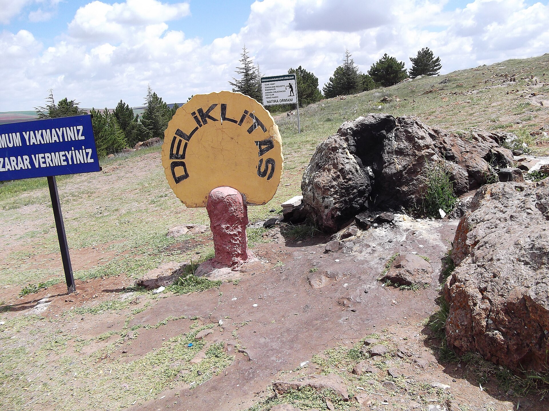
Deliklitaş
- Notable
- Historic monument
Language · 11 published
Historic monument · Nevşehir
Çatal Höyük is a registered archaeological site in Küllüce Village, within Kozaklı district of Nevşehir Province. Its identity is tied to a protected rural settlement landscape rather than to a museum building, excavation gallery, or staffed attraction. The official protection decision distinguishes Grade I and Grade III archaeological-site areas. That classification is central to understanding the place: archaeological value remains embedded in the land, while conservation rules determine what may happen there. The setting combines heritage protection with working countryside, making Çatal Höyük a site to observe carefully rather than a conventional stop with a designed visitor experience.
Checked 2026-09-02 · Source
The protected area lies among rural and agricultural parcels around Küllüce Village. The responsible authority’s decision records separate Grade I and Grade III archaeological-site sections and sets conservation provisions for the registered land. Research supplied for this guide does not document a visitor centre, exhibition rooms, interpretation building, toilets, marked walking circuit, or staffed facilities. Expect the archaeological landscape itself: landform, surroundings, and the visible relationship between protected ground and cultivated parcels. Çatal Höyük is therefore encountered through context and restraint, not through cases, reconstructed rooms, or a packaged open-air museum route.
Checked 2026-09-02 · Source
Plan Çatal Höyük as a flexible countryside observation stop, not as a timed museum circuit. The official decision supplies no visitor route or on-site programme, so the useful length depends on your approach and on which positions are locally appropriate. A short visit may consist of orienting yourself, viewing the protected landscape, and taking a few photographs from permitted ground. A longer stop allows more careful reading of the terrain and its agricultural context. Do not extend the visit by entering every parcel or searching for archaeological material. The quality of the stop comes from attentive observation without disturbing the site.
Checked 2026-09-02 · Source
The responsible authority’s decision does not publish public visiting hours or a seasonal timetable for Çatal Höyük. Daylight is consequently the practical choice for understanding a rural archaeological landscape and moving safely near agricultural parcels. Weather can affect visibility, footing, and the condition of unstructured rural approaches. Farming activity may be underway, while scientific excavation or another authorised operation could alter which areas may be approached. Treat any on-site instruction as controlling. Seasonal comfort matters, but there is no operator-published best month or scheduled visitor programme to use as a fixed planning promise.
Checked 2026-09-02 · Source
No admission charge or ticketing arrangement is recorded in the supplied responsible-authority research, so this guide does not assign a price or free-entry status. Çatal Höyük should be understood first as registered archaeological land governed by conservation provisions, not as a conventional ticketed museum operation. The absence of a recorded ticket price does not establish unrestricted access to cultivated parcels, protected ground, or active work areas. Plan around respect for land use and heritage controls, and treat permission to approach particular ground as separate from any question of payment.
Checked 2026-09-02 · Source
Çatal Höyük is in Küllüce Village, Kozaklı district, Nevşehir Province, among rural parcels around the village. Navigation may bring you near the village or a rural approach rather than to a marked gate. Confirm locally where access is appropriate, avoid cultivated land, and allow extra time because a map pin does not prove a public path.
Checked 2026-09-02 · Source
This is protected heritage in working countryside. The decision states that agricultural activity may continue in the Grade III archaeological-site section only without harming the site. Excavation is prohibited except for scientific purposes, and removing stone, soil, sand, or similar material from the area is forbidden. Do not dig, collect fragments, move stones, clear vegetation, cross cultivated plots, or disturb farmers, excavation teams, archaeological deposits, or boundary markers. If the status of a route or parcel is unclear, stop and follow responsible-authority or authorised-team instructions rather than improvising access.
Checked 2026-09-02 · Source
Approach photography as landscape documentation from public or locally permitted ground. The official decision does not describe a marked visitor path, viewing platform, or dedicated photography facility, so the strongest images will come from reading the rural setting rather than forcing a close viewpoint. Keep cultivated parcels and archaeological surfaces undisturbed. If scientific excavation or another authorised activity is taking place, follow the responsible team’s instructions about photography and position. Do not move stones, clear vegetation, or stage a shot on protected features. A respectful wider composition communicates the site’s character better than a risky approach.
Checked 2026-09-02 · Source
Çatal Höyük is within Kozaklı district of Nevşehir Province, inside the boundaries of Küllüce Village.
The area is registered as Grade I and Grade III archaeological site, with conservation provisions applying to the protected land.
The supplied responsible-authority decision does not record an entrance fee or ticketing arrangement, so no admission amount is stated here.
No public timetable or ticket-office closing time has been published for the site in the supplied responsible-authority research.
The protection decision states that agricultural activity may continue in the Grade III archaeological-site section, provided that it does not harm the archaeological site.
Excavation is prohibited except for scientific purposes. The decision also prohibits removing stone, soil, sand, or similar materials from the protected area.
Loading the interactive map…
The interactive map could not be loaded.

Last updated:
Source: OpenStreetMap contributors ·