333 min walk
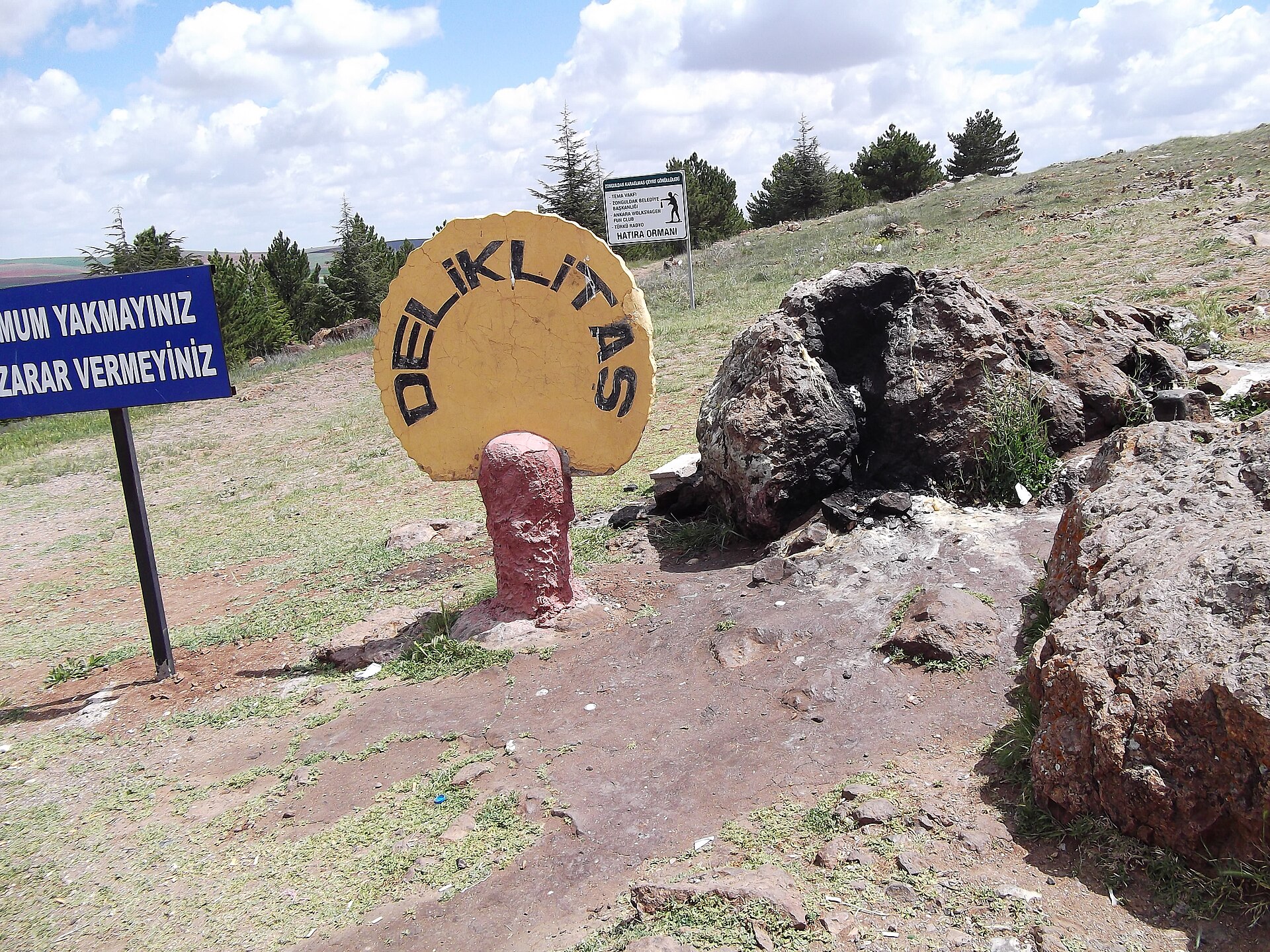
Deliklitaş
- Notable
- Historic monument
Language · 11 published
Historic monument · Nevşehir
Abdi Höyük is a low settlement mound in Abdi village, within Kozaklı district of Nevşehir Province, Türkiye. Its character comes from the contrast between a modest rise, roughly 4–5 metres high, and a broad archaeological area of approximately 14,000 square metres. Surface evidence links the site with Roman, Islamic and Ottoman periods, giving this rural place a long chronology despite the absence of standing buildings. The visit is about reading the mound’s shape, setting and visible traces in the landscape, not touring galleries, reconstructed rooms or a formal museum complex. Abdi Höyük is therefore most rewarding for visitors interested in archaeological landscapes, local history and the way settlement traces remain visible in the countryside.
Checked 2026-09-02 · Source
The mound itself is the main feature, rising gently from agricultural and rural surroundings. Surface finds reported for Abdi Höyük include white pottery, square-impressed pottery and an Ottoman-period pipe fragment. These traces belong to the archaeological landscape rather than an on-site display, so visitors should expect no labelled cases, visitor centre or collection arranged for public viewing. Look across the profile and surrounding ground from suitable access points, noticing how a small visible rise can represent activity from several different periods. Leave every fragment where it lies. The absence of buildings is part of the experience: the site is understood through terrain, material traces and its relationship with Abdi village.
Checked 2026-09-02 · Source
A focused stop at Abdi Höyük can take about 30–60 minutes. That gives enough time to identify the mound’s low profile, view the surrounding archaeological area and observe the surface carefully without turning the visit into an extended walk across rural land. Add time for the approach from Abdi village, finding a considerate place to stop and orienting yourself on the local roads. The mound is not a large monument complex, but patient observation matters: its archaeological interest is carried by scale, setting and scattered evidence rather than by a sequence of rooms or structures. Visitors who photograph the landscape or compare different viewpoints may naturally spend longer, especially in good daylight.
Checked 2026-09-02 · Source
Daylight is the practical time to visit Abdi Höyük because the site is an open-air mound without an indoor exhibition or managed visitor route. In dry conditions, the ground around the mound should generally be easier to read and walk than after rain, when agricultural terrain may become muddy or uneven. Choose a time when you can look slowly at the profile and surrounding surface. The rural setting rewards calm observation, while daylight also helps you distinguish appropriate stopping and walking areas from cultivated plots or private land. A quiet visit also makes it easier to observe the mound without interfering with local agricultural activity.
Checked 2026-09-02 · Source
Abdi Höyük has no admission amount recorded in the available practical information, so the visit should not be described with a ticket price or a claim that entry is free. It is an archaeological mound in a rural setting rather than a ticketed museum building. The meaningful preparation is therefore logistical: allow time to reach Abdi village, continue by local road and stop only where doing so does not obstruct farm access or place you on cultivated land.
Checked 2026-09-02 · Source
Use Abdi village in Kozaklı district, Nevşehir Province, as the approach point, then continue towards the mound on local roads. The Kozaklı District Governorate identifies Abdi as a village of Kozaklı, which establishes the useful administrative starting point for navigation. No named public-transport stop or dedicated tourist shuttle is published for Abdi Höyük. Plan the final approach as a local-road journey and use current navigation for the last turns. When you stop, keep farm entrances clear and walk only on ground where access is clearly appropriate. The village should be treated as the practical orientation point, while the final approach requires attention to rural access and existing land use.
Checked 2026-09-02 · Source
Expect an undeveloped archaeological landscape, not a managed attraction with marked paths or visitor facilities. Uneven rural ground calls for sturdy footwear, and visitors should bring what they need for a short outdoor stop. Respect landowners and agricultural work: do not block access, damage crops, cross cultivated plots without permission or scrape the mound. White pottery, square-impressed pottery and the Ottoman-period pipe fragment are archaeological evidence, not souvenirs. Do not collect, move or clean visible material; observing it in place is part of responsible visiting. Keep the visit quiet and low-impact, particularly when nearby fields are being used or farm vehicles need to pass.
Checked 2026-09-02 · Source
Photograph Abdi Höyük as a rural archaeological landscape. A wide frame can show the mound’s restrained 4–5 metre rise, the approximately 14,000-square-metre archaeological area and the agricultural setting that explains why the site feels different from a built monument. Use closer views for visible surface evidence only from clearly accessible ground, without touching or rearranging anything. Avoid unstable edges and cultivated plots, and keep residents and farm workers out of frame unless they have given permission. The strongest record combines the mound’s profile with its open surroundings. Changing position rather than climbing or disturbing the ground can reveal the mound’s shape more clearly.
Checked 2026-09-02 · Source
Abdi Höyük is in Abdi village, Kozaklı district, Nevşehir Province, Türkiye. Reach the village first, then continue towards the mound on local roads.
It is an archaeological höyük, or settlement mound, experienced as an open-air rural landscape rather than a museum building or indoor exhibition.
The mound is approximately 4–5 metres high, so its archaeological character is expressed by a low profile rather than a monumental elevation.
The archaeological area covers approximately 14,000 square metres, extending beyond the mound’s immediately visible rise.
Surface evidence is dated to the Roman, Islamic and Ottoman periods, giving the mound a long chronological span in a compact rural setting.
Reported surface finds include white pottery, square-impressed pottery and an Ottoman-period pipe fragment. Leave such material in place and do not collect it.
Loading the interactive map…
The interactive map could not be loaded.

Last updated:
Source: OpenStreetMap contributors ·