

_-_panoramio.jpg)



86 min walk
Zapata
- Notable
- Art and culture venue
Language · 11 published
Viewpoint · Mexico City
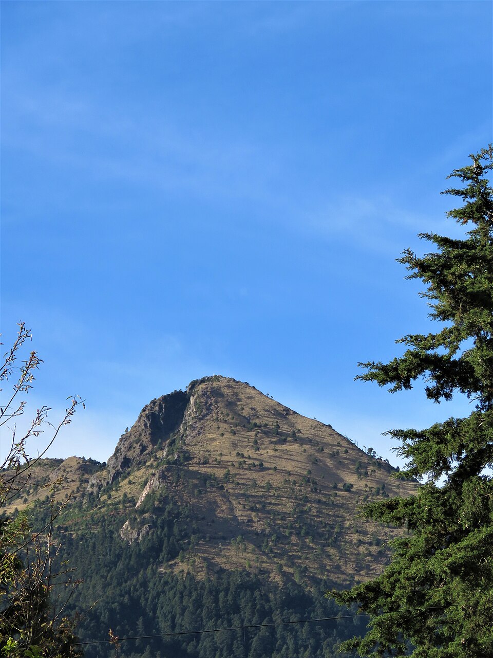
Ajusco is a volcanic peak situated in the southern reaches of Mexico City, forming part of the Trans-Mexican Volcanic Belt. It rises as the highest point within the Federal District's boundaries, creating a dramatic alpine environment that contrasts sharply with the dense urbanisation below. The massif consists of several summits, with Pico del Águila being the most prominent. The area encompasses pine-oak forest ecosystems and serves as a crucial watershed for the capital. Unlike the city's formal park network, Ajusco represents wilder, less administered terrain where visitors encounter genuine mountain conditions.
Checked 2026-08-26
The landscape comprises coniferous forests transitioning to high-altitude grasslands near the summits. Numerous trails traverse the slopes, though signage and maintenance vary considerably. The zone supports diverse flora including oyamel fir and various pine species. Wildlife includes rabbits, hares, and numerous bird species. Several rural communities occupy lower elevations, maintaining traditional land-use practices. Small informal settlements and weekend cabins appear scattered across accessible areas. No formal visitor centre, maintained facilities, or designated recreational infrastructure exists within the immediate summit zone. The terrain remains predominantly natural with minimal commercial development.
Checked 2026-08-26

A complete excursion to the principal summit demands substantial time commitment from central Mexico City. The approach journey alone requires multiple hours depending on departure point and traffic conditions. Hiking durations vary enormously based on chosen trailhead, individual fitness, acclimatisation status, and weather circumstances. Many visitors allocate a full day for the round trip. Those seeking genuine summit attainment should anticipate extended physical exertion at significant elevation. The return journey frequently encounters heavy traffic during afternoon and evening periods, potentially extending total trip duration considerably beyond initial expectations.
Checked 2026-08-26

Dry season months generally provide more favourable conditions for mountain access, though specific seasonal patterns require local verification. Rainy season precipitation transforms trails to hazardous muddy conditions with reduced visibility and increased landslide risk. Temperatures drop substantially with elevation gain, necessitating layered clothing regardless of season. Early morning departures maximise available daylight hours. Operator-confirmed hours are Not recorded pending review. Visitors must independently verify current accessibility, as informal access arrangements may shift unpredictably. Weather conditions change rapidly at altitude; morning clarity frequently deteriorates to afternoon cloud cover.
Checked 2026-08-26
No standardised admission system governs access to Ajusco's upper reaches. Various access points pass through different land tenure situations, potentially involving community-controlled entry points where informal contributions may be requested. No formal ticketing infrastructure exists for the wilderness zone itself. Operator-confirmed prices are Not recorded pending review. Visitors should carry sufficient cash for possible local payments, though no guaranteed facilities exist. Commercial activity remains minimal and irregular. Any organised tour services operate independently without centralised pricing structures. Budgeting for transport and potential guide services requires individual negotiation and verification.
Checked 2026-08-26

Public transport reaches peripheral areas near Ajusco, though final access to trailheads typically requires private vehicle, taxi, or substantial additional walking. The southern terminus of Mexico City's metro system provides a starting point, with connecting buses serving communities along the lower slopes. Road conditions deteriorate significantly on upper mountain routes, particularly following rainfall. Standard vehicles may struggle on unpaved sections. Navigation presents challenges given inconsistent signage. Departing presents equal difficulty, as return transport from remote trailheads remains unreliable. Pre-arranged return transport or willingness to walk substantial distances to served roads proves essential.
Checked 2026-08-26

Altitude effects represent primary concerns, with summit elevations sufficient to cause acute mountain sickness in susceptible individuals. Rapid ascent from sea level significantly increases risk. Weather deterioration occurs without warning; afternoon storms develop regularly. Trail conditions vary from clear to dangerously eroded or obscured. Informal path networks create genuine navigation challenges with disorientation risk. Mobile telephone coverage remains patchy or absent. Isolation means delayed rescue in emergency situations. Informal security situations vary by specific zone and temporal factors. Water sources require purification treatment. No emergency services infrastructure exists within the wilderness zone itself.
Checked 2026-08-26
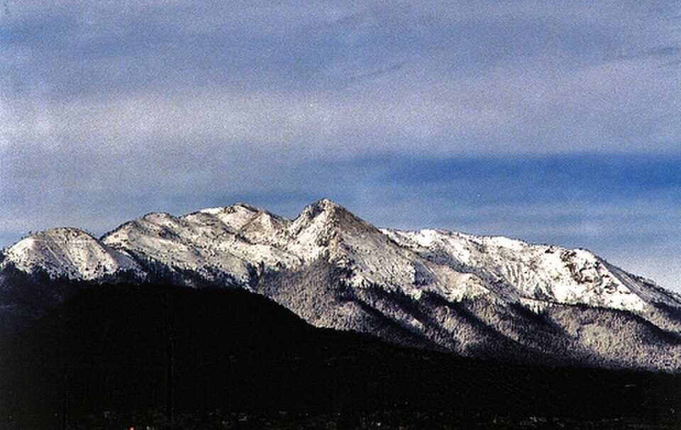
Clear conditions reveal expansive views across the Valley of Mexico and toward distant volcanic peaks including Popocatépetl and Iztaccíhuatl. Early morning typically offers optimal atmospheric clarity before urban haze accumulation and cloud development. The forest-edge transition zones and high grasslands provide varied compositional opportunities. Summit panoramas reward clear-day visitors substantially. Lighting conditions shift dramatically as clouds traverse the terrain. Wildlife photography demands patience given shy animal behaviour. No restrictions on photographic activity are documented, though respectful practice regarding any local communities encountered remains essential. Tripod use proves valuable for low-light forest interior conditions.
Checked 2026-08-26
The terrain presents genuine challenges including significant elevation gain, variable trail conditions, and altitude effects. Inexperienced visitors should consider accompanied outings and conservative itineraries.
No formal requirement exists, though the informal trail network and navigation challenges mean many visitors benefit from local guidance, particularly for summit attempts.
Layered clothing for temperature variation, adequate water and food, navigation aids, sun protection, rain protection, and emergency supplies given minimal facilities and unreliable mobile coverage.
Public transport serves lower slopes; however, reaching actual trailheads typically requires additional private transport or considerable walking beyond served routes.
Specific regulations are not documented; the area lacks formal camping infrastructure and visitors should verify locally regarding any restrictions or appropriate practices.
Ajusco offers higher elevation, wilder terrain, and less formal administration compared to the established national park with its visitor infrastructure and regulated access systems.
Loading the interactive map…
The interactive map could not be loaded.

Last updated:
Source: OpenStreetMap contributors, Wikidata ·