


71 min walk
Tolli
- Notable
- Art and culture venue
Language · 11 published
Viewpoint · Reykjavik

Úlfarsfell is a mountain located on the eastern edge of Reykjavík, offering accessible hiking terrain with views across the capital area. The peak rises prominently above the suburban districts of Grafarvogur and Úlfarsárdalur. It serves as a popular local destination for residents seeking outdoor recreation without traveling far from the city center. The mountain forms part of the broader heathland landscape characteristic of this portion of the Reykjavík peninsula, with trails that accommodate varying fitness levels.
Checked 2026-08-26
The mountain features a network of hiking and walking paths leading toward its summit. Trail markers guide visitors across the terrain, which includes rocky outcrops, low vegetation, and patches of heather. The upper reaches provide open panoramas across Faxaflói bay, Mount Esja, and on clear days toward the Reykjanes peninsula. No built structures, visitor centers, or maintained facilities are present on the mountain itself. The experience centers on natural landscape immersion and physical activity in an undeveloped setting.
Checked 2026-08-26

A complete visit to Úlfarsfell typically requires two to four hours depending on chosen route, pace, and time spent at viewpoints. The ascent from trailheads in surrounding neighborhoods generally takes forty-five minutes to ninety minutes for moderately fit hikers. Descent follows the same or alternate paths. Weather conditions significantly affect timing, as exposed sections slow progress during wind or precipitation. Visitors should allocate additional buffer time for photography and rest stops at the summit area.
Checked 2026-08-26

The mountain is accessible year-round, though conditions vary substantially by season. Summer offers extended daylight and generally more stable conditions. Winter hiking requires appropriate equipment and awareness of limited daylight hours. Snow and ice may render paths hazardous without traction aids. No staffed facility regulates access times. Visitors should consult local weather forecasts and daylight tables before departure, as Iceland's seasonal variation dramatically affects safe hiking windows. A flexible visit lets travellers connect Ulfarsfell Mountain with the rest of the day without treating one room, viewpoint or photograph as the whole experience. The useful pace depends on personal interest and conditions on arrival. Check the operator's own site for the travel date before relying on a schedule or fare.
Checked 2026-08-26
Access to Úlfarsfell involves no admission charge. The mountain exists as open countryside without gated entry or ticketing infrastructure. No parking fees apply at informal trailhead areas. Visitors should verify whether any changes to access arrangements have occurred through official Reykjavík tourism channels. The visit requires only personal transportation or walking from nearby residential areas. No guided tour purchase is necessary for independent hiking. Ulfarsfell Mountain also earns time in a reykjavik itinerary because A ranked reykjavik visitor place retained from the fact pack; no exact production city-pool match was accepted. Its value becomes clearer when the stop is compared with the surrounding streets and the other ranked places nearby. Check the operator's own site for the travel date before relying on a schedule or fare.
Checked 2026-08-26

The mountain is reachable by private vehicle with parking available near trailheads in the Úlfarsárdalur and Grafarvogur districts. Public bus routes serve stops within walking distance of access points, though specific line numbers and schedules require verification through Strætó bs. Reykjavík city buses. Cycling from central Reykjavík is feasible along established roads. Taxis and ride services can approach trailhead areas. Walking from eastern Reykjavík neighborhoods is possible for those residing nearby. Route selection should match individual capability and available time.
Checked 2026-08-26
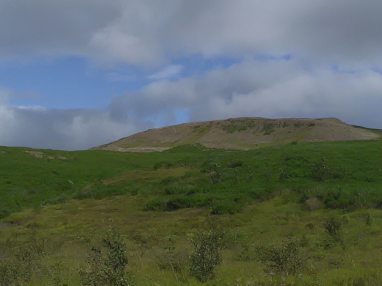
Weather changes rapidly on exposed Icelandic mountains. Strong winds, sudden fog, and temperature drops occur without warning. Trails become slippery when wet or icy. Proper footwear with ankle support and grip is essential. No emergency services or shelters exist on the mountain. Mobile phone coverage may be inconsistent. Visitors should inform others of their plans and estimated return. Stream crossings may become hazardous after rainfall. Respect private land boundaries near trailheads. Sheep grazing occurs seasonally; dogs must be kept leashed where required by local regulation.
Checked 2026-08-26
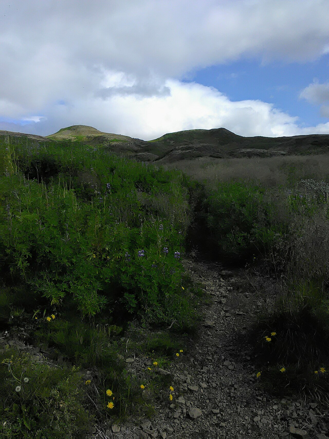
The summit and upper slopes offer expansive photographic opportunities encompassing Reykjavík's urban skyline, surrounding mountains, and coastal waters. Morning and evening light provides dimensional quality to landscape compositions. Wide-angle lenses accommodate the broad vistas. Weather phenomena including cloud formations and atmospheric conditions add dramatic elements. No restrictions on photography equipment or commercial usage are posted. Drone operation falls under Icelandic aviation authority regulations requiring attention to controlled airspace near the capital. Tripod use is practical given wind exposure considerations.
Checked 2026-08-26
The mountain offers routes of varying difficulty. Some paths are manageable for beginners with reasonable fitness and proper footwear. Steeper sections and weather exposure require caution. Visitors should assess conditions and their own experience level before ascending.
No restroom facilities exist on the mountain. Visitors should plan accordingly before arrival at trailheads, where public facilities are also generally unavailable.
Children with hiking experience and appropriate clothing can complete the ascent under adult supervision. Parents should consider weather conditions, trail length, and individual child stamina when planning.
Winter access is possible but requires preparation for snow, ice, limited daylight, and cold temperatures. Traction devices and layered clothing are advisable. Conditions may exceed the capability of casual visitors.
Dogs are generally allowed but must be leashed where livestock grazing occurs or where local regulations specify. Owners should carry waste bags and maintain control of animals near trail edges.
Mobile coverage is present in areas but may be unreliable on certain slopes or during weather events. Visitors should not depend exclusively on phones for navigation or emergency communication.
Loading the interactive map…
The interactive map could not be loaded.

Last updated:
Source: OpenStreetMap contributors, Wikidata ·