

71 min walk
Tolli
- Notable
- Art and culture venue
Language · 11 published
Viewpoint · Reykjavik

Esja is a mountain range situated north-east of Reykjavik, visible from much of the capital area on clear days. The mountain forms part of the capital's immediate backdrop and serves as a popular recreational destination for residents and visitors seeking accessible hiking terrain close to the city. The range comprises multiple peaks rather than a single summit, with the highest point reaching approximately 914 metres. Esja lies within Kjalarnes, beyond the city limits but within easy reach for day trips from Reykjavik.
Checked 2026-08-26
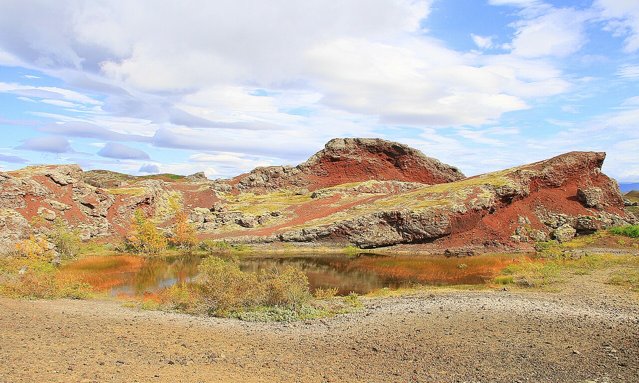
The mountain features marked hiking trails of varying difficulty, with the most frequented path leading towards Þverfellshorn peak. Trail infrastructure includes basic signage and some sections equipped with chains or ropes to assist on steeper terrain. The landscape consists of basalt and rhyolite formations typical of Iceland's volcanic character, with heathland vegetation at lower elevations giving way to rockier terrain higher up. No visitor centre, café, or maintained facilities exist at the trailhead or along routes. Hikers should carry all required provisions.
Checked 2026-08-26
The duration of a visit depends entirely on chosen routes and individual fitness. The standard trail to Þverfellshorn and back typically requires three to four hours for reasonably fit walkers. Shorter sections to intermediate viewpoints can be completed in one to two hours. The full traverse of multiple peaks demands considerably longer and should only be attempted by experienced hikers with appropriate equipment and daylight assessment. Weather conditions on Esja can deteriorate rapidly, potentially extending journey times significantly. Esja Mountain also earns time in a reykjavik itinerary because A ranked reykjavik visitor place retained from the fact pack; no exact production city-pool match was accepted. Its value becomes clearer when the stop is compared with the surrounding streets and the other ranked places nearby.
Checked 2026-08-26
Operator-confirmed hours are Not recorded pending review. The mountain is accessible throughout daylight hours, though seasonal variations in daylight are extreme in Iceland. Summer offers extended hiking windows under the midnight sun, while winter presents severely restricted daylight and heightened avalanche risk on certain slopes. Conditions above the tree line remain unpredictable year-round. Self-sufficient hikers must verify current conditions independently. Winter ascents require technical equipment and experience with snow-covered terrain. Spring and autumn present transitional conditions with muddy trails and variable temperatures.
Checked 2026-08-26
Operator-confirmed prices are Not recorded pending review. No entrance fee is typically charged for accessing Esja's hiking trails, as the mountain lies on public land without gated access. Visitors should not expect ticketed entry, guided services, or maintained facilities included in any payment. Any organised tour offerings from third-party operators in Reykjavik would carry separate commercial pricing. Independent hikers bear full responsibility for their safety and equipment without recourse to on-site staff or emergency services stationed at the mountain.
Checked 2026-08-26
Esja is reachable by private vehicle via Route 1 north from Reykjavik, with a designated parking area at the trailhead. Public bus services from Reykjavik have historically served the area, though schedules require independent verification as routes and frequencies change. The journey by road takes approximately thirty minutes from central Reykjavik under normal conditions. Taxi or rideshare services represent alternatives at significantly higher cost. No shuttle service specifically dedicated to Esja is known to operate. Winter road conditions may affect accessibility independently of trail status.
Checked 2026-08-26
Weather changes occur without warning; clear morning conditions can transform within hours. The mountain's proximity to Reykjavik creates false security regarding difficulty. Trails above the initial woodland section expose hikers to wind, rain, and temperature drops. Mobile phone coverage cannot be guaranteed across all elevations. The chained sections near Þverfellshorn summit present genuine fall risk in wet or windy conditions. Solo hiking carries inherent dangers without immediate assistance available. Informing others of intended routes and return times constitutes essential safety practice. No rescue service maintains permanent presence.
Checked 2026-08-26
Esja offers panoramic views across Faxaflói bay towards Reykjavik and the Snæfellsnes peninsula on clear days. The mountain itself appears frequently in capital-area photographs taken from the city. Early morning and late evening light during summer months provide extended golden hour opportunities. The rugged terrain and volcanic geology suit wide-angle landscape composition. Drone operation requires awareness of airspace restrictions related to Reykjavik airport proximity and general Icelandic aviation regulations. Winter snow coverage transforms visual character dramatically. Cloud inversions occasionally create exceptional atmospheric conditions though these cannot be predicted or guaranteed.
Checked 2026-08-26
The lower sections present moderate terrain manageable for fit beginners, though the full ascent to Þverfellshorn requires reasonable fitness and confidence on steep, exposed sections with chains.
Winter access is possible but demands appropriate equipment, experience with snow conditions, and careful daylight planning. Avalanche risk exists on certain slopes.
No maintained facilities exist at the trailhead or along hiking routes. Visitors must plan accordingly.
No guide is required for standard routes. Independent hikers proceed at their own risk without mandatory supervision.
Esja offers accessible day hiking near urban amenities, contrasting with multi-day wilderness treks or glacier excursions requiring specialised equipment and guides elsewhere.
Children with hiking experience may manage lower sections. The full ascent and chained sections are unsuitable for young children regardless of adult accompaniment.
Loading the interactive map…
The interactive map could not be loaded.

Last updated:
Source: OpenStreetMap contributors ·