.jpg)


.jpg)
.jpg)
.jpg)

55 min walk
Betanía
- Notable
- Place of worship
Language · 11 published
Nature site · Reykjavik
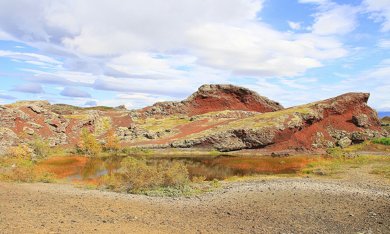
Rauðhólar is a cluster of distinctive red pseudocraters located on the southeastern outskirts of Reykjavík, Iceland. These geological formations were created approximately 4,600 years ago during volcanic eruptions in the Leitin system, when lava flowed over wet ground and steam explosions formed crater-like depressions. The name translates to Red Hills, referencing the oxidized iron content that gives the terrain its characteristic rusty coloration. The site represents a protected natural area within the capital region, offering visitors an accessible encounter with Iceland's volcanic heritage without venturing far from urban infrastructure.
Checked 2026-08-26
The landscape comprises numerous pseudocraters of varying sizes scattered across heathland terrain. Vegetation includes mosses, grasses, and low shrubs typical of Icelandic post-glacial ecology. Walking paths traverse the area, allowing exploration among the formations. The site lacks constructed visitor facilities, interpretive signage, or maintained amenities. Natural features dominate entirely, with no buildings, museums, or commercial operations present. The terrain is uneven and comprises loose volcanic material. Views extend across the surrounding Elliðaárhraun lava field toward the city and distant mountains on clear days.
Checked 2026-08-26
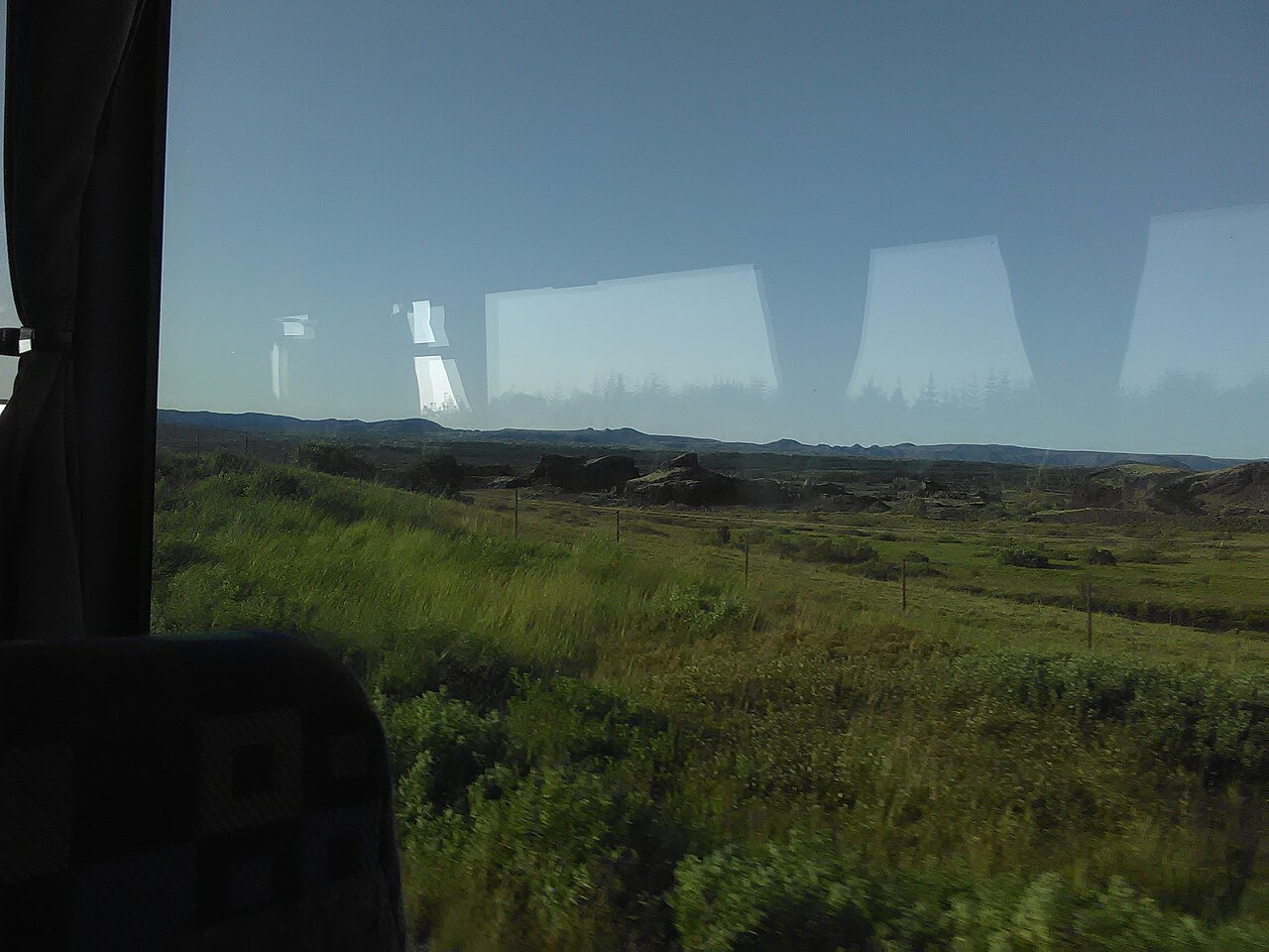
A complete visit typically requires one to two hours depending on walking pace and interest in geological observation. The area covers substantial ground, and circumnavigating multiple crater formations demands moderate physical effort. Photography enthusiasts may extend their stay capturing light variations on the red terrain. No guided tours or structured itineraries operate at the site, so visitors determine their own duration. Weather conditions significantly influence comfort and accessibility; wind exposure is considerable across the open landscape. Combine with nearby natural attractions for a half-day excursion from central Reykjavík.
Checked 2026-08-26
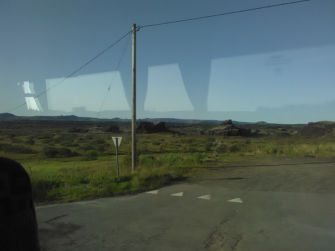
Operator-confirmed hours are Not recorded pending review. The site is an ungated natural area theoretically accessible at all hours, though daylight governs practical visiting conditions. Icelandic summer offers extended evening light and milder temperatures, while winter presents severe weather constraints including snow cover, ice, and minimal daylight hours. Wind and precipitation affect comfort year-round. Morning visits may provide calmer conditions and favorable photography lighting. No seasonal closures are documented, but individual judgment regarding weather safety remains essential. Check local conditions before departure.
Checked 2026-08-26
Operator-confirmed prices are Not recorded pending review. No entrance fee structure is documented for this undeveloped natural site. Parking appears informal without evident payment mechanisms. No visitor center, equipment rental, or commercial services exist to generate charges. Transportation costs constitute the primary expense. Visitors should verify current status independently, as management arrangements may change. The protected status suggests public access rights, though specific regulatory frameworks are not confirmed. Carry sufficient provisions for self-sufficient exploration regardless of cost expectations. Raudholar also earns time in a reykjavik itinerary because A ranked reykjavik visitor place retained from the fact pack; no exact production city-pool match was accepted. Its value becomes clearer when the stop is compared with the surrounding streets and the other ranked places nearby.
Checked 2026-08-26

Rauðhólar lies approximately ten kilometers southeast of central Reykjavík. Private vehicle provides the most direct access via Route 1 and local roads toward the Elliðaárdalur valley area. Public bus services operate in the general vicinity, though precise stop proximity requires verification against current schedules. Cycling is feasible via established routes from the city center. No dedicated tourist transportation serves the site specifically. Road conditions vary seasonally. Parking locations near the formations appear informal rather than formally designated. Navigation requires attention as signage is minimal.
Checked 2026-08-26

Terrain hazards include unstable slopes, loose scree, and hidden voids within the pseudocrater structures. Edge stability is unpredictable; maintain distance from rim areas. Weather exposure is severe with minimal shelter available. Rapid condition changes demand appropriate clothing layers. No emergency services or communication infrastructure are present. Mobile coverage may be unreliable. Trespassing on sensitive vegetation causes lasting ecological damage given slow recovery rates. Respect any access restrictions protecting the formations. Inform others of your itinerary. Solo visitors should exercise heightened caution given isolation and physical risks.
Checked 2026-08-26

The red-orange terrain provides distinctive color contrasts against typical Icelandic skies and occasional snow cover. Wide-angle lenses accommodate the expansive landscape and crater scale. Morning and evening light enhances textural definition on the oxidized surfaces. Overcast conditions reduce harsh shadows and even illumination. Tripods assist in wind conditions. Drone operation requires awareness of airspace regulations near populated areas and potential protected status restrictions. No facilities exist for equipment protection from weather. The unique palette distinguishes images from conventional Icelandic waterfall or glacier photography.
Checked 2026-08-26
The terrain presents hazards including steep slopes, loose surfaces, and drop risks that demand close supervision. Young children require constant monitoring. Stroller access is impractical. Parental judgment regarding individual capability is essential.
Specific regulations are not recorded. General Icelandic practice allows leashed dogs in many natural areas, but visitors should verify current local restrictions and ensure animals remain under control to protect sensitive vegetation.
The uneven, loose volcanic terrain presents significant barriers. No paved paths, handrails, or accessibility accommodations exist. Manual wheelchair or mobility aid use would be extremely challenging. Visitor discretion is advised.
No facilities of any kind are present at the site. Visitors must be entirely self-sufficient. Plan accordingly before arrival and observe leave-no-trace principles.
The formations are depressions rather than enclosed structures. Walking within and around them is physically possible but involves terrain hazards. Edge stability is uncertain. Cautious movement and distance from unstable areas is prudent.
Pseudocraters form from steam explosions where lava interacts with water or wet ground, without magma reaching the surface directly. True craters result from eruptive material expulsion. The distinction is primarily geological rather than visually obvious to casual observers.
Loading the interactive map…
The interactive map could not be loaded.


Last updated:
Source: OpenStreetMap contributors, Wikidata ·