

01
1 hour
Plaza de Mayo
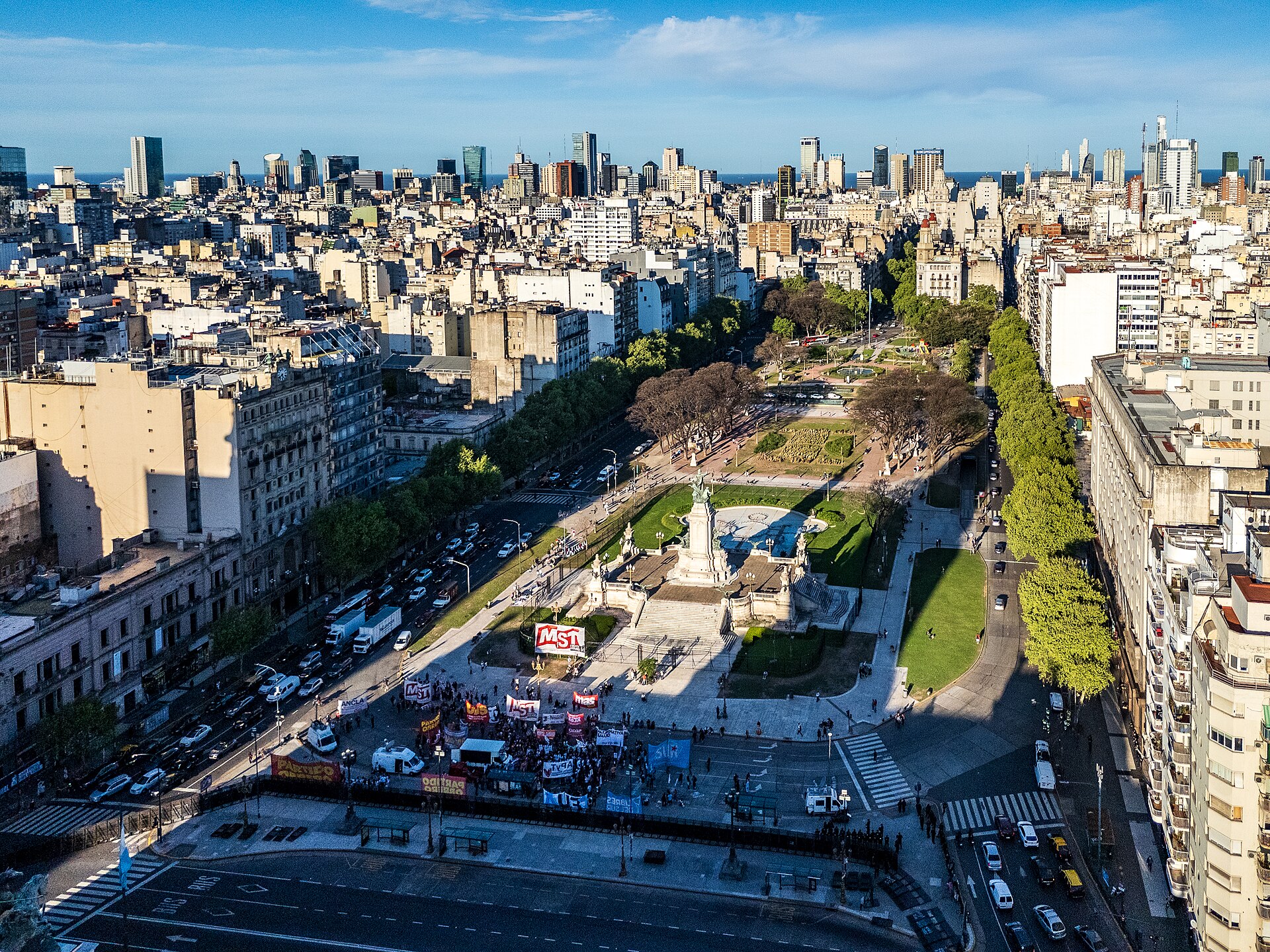
Plaza de Mayo is Buenos Aires' oldest public square and the civic setting in which several defining episodes of the city and nation unfolded.
- Must see
- Nature site
Language · 11 published
City guide · Argentina
Buenos Aires is organised through distinct barrios, each with a different visitor character. Monserrat and San Nicolás form the historic and civic centre; San Telmo and La Boca continue south; Recoleta and Palermo lie north; and Puerto Madero occupies the regenerated waterfront. The official tourism service treats these as separate neighbourhood experiences. Group adjacent barrios and avoid crossing the city repeatedly for isolated sights.
Set your days, your pace and the hours you actually want to be out. The planner works around closing days and travel time, and leaves room to eat.
Ranked by importance — sitelinks, pageviews and heritage status, not editor preference.
8 places match
Category
Typical visit duration
Interests
Plaza de Mayo is Buenos Aires' oldest public square and the civic setting in which several defining episodes of the city and nation unfolded.

The Palermo Rose Garden, known locally as Rosedal de Palermo, is a formal rose garden situated within the larger Parque Tres de Febrero in the Palermo neighbourhood of Buenos Aires.

Jardín Botánico Carlos Thays
Jardín Botánico Carlos Thays is a historic botanical garden in Buenos Aires, Argentina. Located in the Palermo neighbourhood, it was designed by French-Argentine landscape architect Carlos Thays and opened in 1898.

Reserva Ecológica Costanera Sur
Reserva Ecológica Costanera Sur is the largest central nature reserve in Buenos Aires, occupying reclaimed land along the Río de la Plata waterfront.
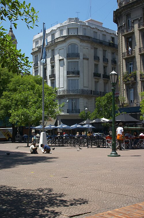
Plaza Dorrego
Plaza Dorrego is a historic public square in the San Telmo neighbourhood of Buenos Aires, Argentina.

Parque de la Memoria
Parque de la Memoria is a riverfront memorial and sculpture park in Buenos Aires dedicated to victims of Argentina's state terrorism during the 1976-1983 military dictatorship.
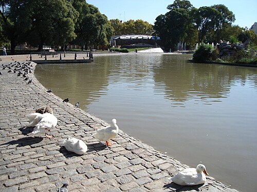
Parque Centenario is a major circular neighbourhood park in Buenos Aires, Argentina. The park serves as a significant green space linking several cultural and recreational attractions within its boundaries.
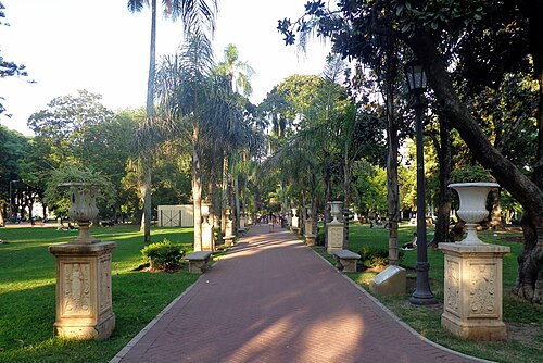
Parque Lezama
Parque Lezama is a historic public park situated on a pronounced slope that forms a natural boundary between the neighbourhoods of San Telmo and La Boca in Buenos Aires, Argentina.
Source: OpenStreetMap contributors, Wikidata ·
Plaza de Mayo, Avenida de Mayo, the Obelisk and Teatro Colón anchor the Monserrat-San Nicolás cluster. San Telmo connects the centre with the southern route toward La Boca. Recoleta combines the cemetery, museums and formal avenues, while Palermo spreads across parks, museums and several informal sub-districts. Puerto Madero is a separate riverside walk. Belgrano and outer barrios require their own transit segment.
Checked 2026-08-26
The Subte is often the quickest way to move between central districts, while buses extend coverage across the city. Public transport uses the rechargeable SUBE card. Taxis and the cycle network provide alternatives, and official journey tools compare routes and walking distance. Walk within San Telmo, Recoleta, Palermo or the central core, then use transit between them; approach La Boca with a planned daytime route.
Checked 2026-08-26
Monserrat-San Nicolás, San Telmo, Recoleta, Palermo and Puerto Madero are distinct barrio clusters
No fixed stay length is recorded; plan the visit by barrios and selected outer districts.
Use the Subte for central journeys and buses for broader coverage; public transport requires SUBE.
Palermo is a large neighbourhood with several informal areas, so confirm the exact destination.
La Boca is best visited through a planned daytime route rather than an improvised cross-city walk.