
11 min walk
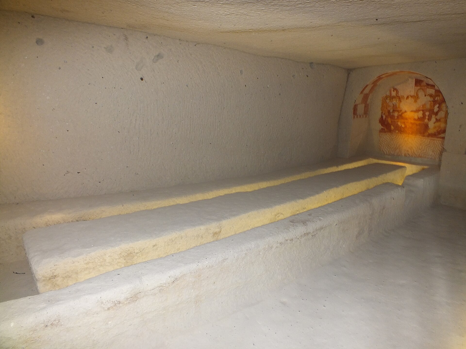
Çarıklı Kilise Yemekhanesi
- High
- Historic monument
Language · 11 published
Viewpoint · Nevşehir

Read from the OpenStreetMap access tags; anything not listed has no tag recorded.
Set the group type to family in the planner and the day window contracts to about three quarters of a solo day.
Meskendir Valley Viewpoint is an open-air stopping point in the walking landscape of Meskendir Valley, near Göreme in Nevşehir Province. It is a scenic access point for a longer valley walk, not a gated attraction with a formal platform, visitor centre or timed admission. The responsible public body describes Meskendir Valley as approximately 4,400 metres long and connects it with Kızılçukur Valley and Güllüdere Valleys I and II. Expect a natural setting with a dirt-road approach, an entrance path, steep sections and uneven ground. No closure day or fixed visiting timetable is specified, so daylight and trail conditions shape the visit.
Checked 2026-09-02 · Source
The viewpoint introduces a route through Meskendir Valley and its connected features. Visitors can encounter rock-cut tunnels and passages, Meskendir Church, a small rest area, the Kızılçukur Valley junction, Adsız Şapel and junctions towards Güllüdere Valleys I and II. These are features in a natural walking environment, so access depends on terrain and available light. Eroded rock walls frame the route, while carved spaces and historic religious remains add cultural interest. Use the viewpoint to orient yourself, photograph the valley and decide whether to continue. The descent, tunnels and uneven ground are part of the outdoor route, not separate indoor exhibits.
Checked 2026-09-02 · Source
The responsible public body estimates about three hours for the Meskendir Valley walk at a comfortable pace. That estimate covers the valley route, not only the short approach from the roadside. Meskendir Valley is approximately 4,400 metres long, and the outing can take longer if you stop for photographs, inspect the tunnels, pause at Meskendir Church or continue towards Kızılçukur and Güllüdere. Allow time to leave a vehicle suitably, walk beside the campsite and follow the approximately 150-metre entrance path. A shorter visit is possible, but the main experience is the connected valley landscape. Keep the return within daylight.
Checked 2026-09-02 · Source
Meskendir Valley Viewpoint has no stated gate schedule or closure day, so visit when there is sufficient daylight for the approach and trail. Morning usually gives cooler conditions and more time for the walk; later light can emphasise texture on Cappadocia’s rock walls and passages. Weather matters more than an official timetable. Rain may make the dirt road and uneven path harder to negotiate, while low light makes tunnels, steep sections and junctions less comfortable. Choose a day suited to several hours outdoors, especially if continuing towards Kızılçukur or Güllüdere.
Checked 2026-09-02 · Source
Access to Meskendir Valley Viewpoint is free. The responsible public body lists no ticket or admission charge, and the setting is open-air rather than a controlled attraction with a ticket gate. You can include the viewpoint in a walking day without budgeting for entry. Free access does not mean the route is fully serviced: the approach follows a dirt road and path, and the valley contains steep, uneven and tunnel sections. Transport, parking, food and other attractions may involve separate costs, but none are part of the researched admission fact. Bring what you need before setting out because no on-site sales or visitor services are stated.
Checked 2026-09-02 · Source
Use the Ortahisar–Göreme road and look for the campsite on its right-hand side. From the Göreme junction on the Ürgüp–Nevşehir main road, the turn-off is about 800 metres away. Leave the vehicle suitably, follow the dirt road beside the campsite, then take the right-hand path for approximately 150 metres to reach the valley entrance and viewpoint area. The final approach is on foot, not a paved promenade. Göreme Municipality publishes the Göreme–Nevşehir municipal bus route for the broader journey, but the last approach still requires walking. Use the campsite and roads as orientation points.
Checked 2026-09-02 · Source
The approach uses a dirt road and path, the descent into the valley is steep, and the route includes tunnels, passages and uneven terrain. The viewpoint is not presented as a step-free platform, so access is unsuitable for wheelchair users and may be unsuitable for mobility aids or pushchairs. Wear stable footwear and carry water for a walk estimated at about three hours. Tunnel entrances and low light can affect footing, while rain may worsen the dirt approach. Stay attentive at junctions towards Kızılçukur or Güllüdere and keep the return within daylight. Toilets, drinking water and baby-changing facilities are not stated in the research.
Checked 2026-09-02 · Source
Treat the viewpoint as the opening frame of a valley walk rather than the entire subject. Compose the rock walls, path and Cappadocian terrain together to show scale. Along the route, tunnels and passages offer darker perspectives, while Meskendir Church, Adsız Şapel and the Kızılçukur and Güllüdere junctions add cultural and directional context. Morning light suits a longer walking day; later light may emphasise rock texture. Keep enough daylight for safe movement through uneven sections, and use the small rest area as a natural pause. Protect equipment from dust on the dirt road, and prioritise footing at steep sections and tunnel entrances.
Checked 2026-09-02 · Source
Meskendir Valley is approximately 4,400 metres long, according to the responsible public body’s valley information.
The walk takes about three hours at a comfortable pace. Allow extra time for the approach, photographs, rest stops and connected valley sections.
The entrance is reached from the Ortahisar–Göreme road beside the campsite on the road’s right-hand side. The turn-off is about 800 metres from the Göreme junction on the Ürgüp–Nevşehir main road.
After following the dirt road beside the campsite, take the path on the right for approximately 150 metres to reach the valley entrance.
The route includes rock-cut tunnels and passages, Meskendir Church, a small rest area, the Kızılçukur Valley junction, Adsız Şapel and junctions towards Güllüdere Valleys I and II.
Meskendir Valley connects with Kızılçukur Valley and Güllüdere Valleys I and II, allowing a longer walk through connected Cappadocian valley routes.
Loading the interactive map…
The interactive map could not be loaded.


Last updated:
Source: OpenStreetMap contributors ·