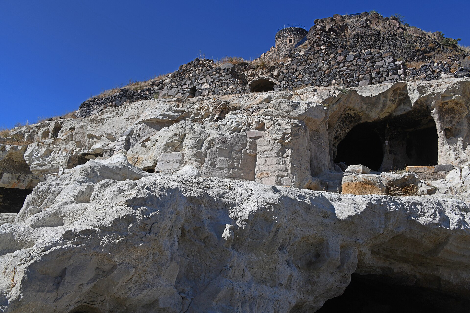
86 min walk
Underground City Kayaşehir
- Must see
- Historic monument
Language · 11 published
Historic monument · Nevşehir
Reviewed by Elena Voss · SSMTour Travel Editor
Aşıklı Dağı Günbatımı Alanı is an open-air sunset viewpoint on the slopes of Aşıklı Dağı, in Nevşehir’s Merkez district near Göre and Güvercinlik. The place is defined by its position above the surrounding settlements and volcanic terrain, where the main experience is watching the landscape change as daylight fades. It is a self-directed outdoor stop rather than an enclosed monument, exhibition or indoor visitor complex. The mapped location is approximately 7 kilometres east of Nevşehir. Visitors come for the combination of open sky, mountain relief and broad views, while the exposed setting makes wind, temperature and uneven ground part of the character of the visit.
Checked 2026-09-02 · Source
The attraction is the open mountain setting itself: a viewing area on Aşıklı Dağı with outlooks around Göre, Güvercinlik and the wider Nevşehir landscape. No enclosed gallery, exhibition or sequence of displays is described for this location, so the visit is centred on choosing a viewpoint and observing the terrain, sky and settlements. The Nevşehir Governorate’s disaster-risk plan gives Aşıklı Dağı’s highest point as 1,695 metres, a useful indication of the mountain’s relief rather than a claim about the exact elevation of the viewing area. The TR71 Regional Plan identifies the Aşıklı Dağı–Güvercinlik Köyü surroundings as an area where individual and commercial paragliding infrastructure is planned. That planning context does not establish a regular launch, equipment rental or organised flight timetable.
Checked 2026-09-02 · Source
Allow about 45 to 90 minutes for a straightforward sunset visit. This covers reaching a suitable viewing point, checking the ground, settling into a stable position, watching the changing light and beginning the return while visibility is still useful. Landscape photographers may spend longer as colours and shadows shift across the slopes, but the location has no indoor programme or timed sequence to structure an extended stay. Add extra margin for the approach if the mountain terrain is unfamiliar. Arriving before sunset is especially worthwhile because it gives time to inspect the surface, choose a comfortable place to stand and avoid a hurried departure after the horizon darkens.
Checked 2026-09-02 · Source
Sunset is the natural time to visit, with enough daylight beforehand to read the ground and select a secure viewing position. The open-air area is recorded as accessible 24 hours, with no closed day or ticket-office hours. That describes access to the outdoor setting, not supervision or consistent comfort at every hour. Clear evenings should provide the strongest horizon and most legible layers of terrain. Wind, cloud, rain and winter conditions can make the exposed slopes colder, darker and harder to cross. Give yourself a daylight buffer for the return, particularly when visiting for the first time. After the sun disappears, visibility on uneven ground changes quickly.
Checked 2026-09-02 · Source
Aşıklı Dağı Günbatımı Alanı is experienced as an outdoor landscape viewpoint, with no enclosed visitor programme or gate described in the place information. The visit is therefore centred on reaching the mountain setting, choosing a viewing position and leaving safely after the light changes. Visitors should plan for a self-directed stop rather than for a staffed attraction with scheduled entries, exhibition access or organised interpretation. The open character of the area also means that the visit depends on the condition of the approach and the weather. Keep the focus on the viewpoint, the sunset and the surrounding terrain.
Checked 2026-09-02 · Source
The viewpoint is approximately 7 kilometres east of Nevşehir, near Göre and Güvercinlik, on Aşıklı Dağı. By private car, approach via the Nevşehir–Niğde road and continue towards Güvercinlik; the final section is mountain-terrain access. Treat the last section as an approach through uneven mountain terrain rather than as a continuous, level urban promenade. Leave daylight and route-finding margin for the return after sunset.
Checked 2026-09-02 · Source
The approach includes mountain terrain, and the viewing area is an exposed outdoor setting rather than a managed indoor attraction. Wear footwear suitable for uneven ground and clothing that can handle changing wind and temperature. Plan the departure before darkness makes the surface harder to read, or carry a dependable light for the return. The available place information does not describe toilets, drinking water, baby-changing facilities or a continuous hard-surfaced route. Physical access at any hour should not be confused with staffed, supervised or maintained visitor access. Keep away from unstable edges and reconsider the approach during poor visibility, strong wind or severe weather.
Checked 2026-09-02 · Source
The strongest photographs use the mountain setting as the subject: combine the changing sky with Aşıklı Dağı’s slopes and the settlements around Göre and Güvercinlik. Arrive before sunset so there is time to inspect the ground, select a stable position and compose while the foreground is still visible. A wide lens is practical for layered terrain and open sky, while a longer lens can isolate settlement patterns or distant relief. A tripod may help as the light fades, provided it does not obstruct movement or create a trip hazard. Protect equipment from wind and dust, keep spare battery for navigation, and remember that the darker return is part of the photographic plan.
Checked 2026-09-02 · Source
It is in Merkez district of Nevşehir province, near Göre and Güvercinlik.
The mapped location is approximately 7 kilometres east of Nevşehir.
The Nevşehir Governorate’s disaster-risk plan gives the mountain’s highest point as 1,695 metres.
Nevşehir Municipality’s city-bus route information does not list a stop named for Aşıklı Dağı Günbatımı Alanı; the final approach is by road and through mountainous terrain.
The TR71 Regional Plan identifies the Aşıklı Dağı–Güvercinlik Köyü surroundings as an area where individual and commercial paragliding infrastructure is planned. It does not verify an operating service, rental facility or flight timetable.
It is an open-air sunset viewpoint on Aşıklı Dağı near Göre and Güvercinlik, approximately 7 kilometres east of Nevşehir.
Loading the interactive map…
The interactive map could not be loaded.


Last updated:
Source: OpenStreetMap contributors ·