
320 min walk
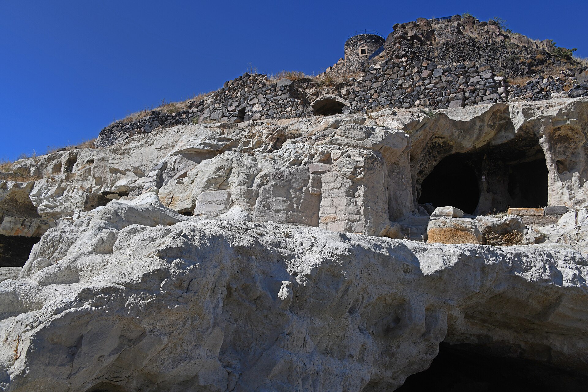
Nevşehir Castle
- Must see
- Historic monument
Language · 11 published
Historic monument · Nevşehir
Ağıllı Höyük is a broad archaeological mound in the Ağıllı Höyük locality of Acıgöl district, Nevşehir Province, about 2 km west of Ağıllı Village. Its archaeological character is easy to miss if you expect standing monuments: this is a settlement landscape whose scale is expressed by a mound roughly 250–300 m across and 10–15 m above the surrounding plain. The visit is about reading the land, not entering a preserved building complex or museum gallery. Its position near Topada Rock Inscription places it within a wider archaeological setting in the countryside.
Checked 2026-09-02 · Source
The visible setting is agricultural, with the mound rising from cultivated countryside rather than a landscaped archaeological park. Foundation stones can be seen on the summit, while surface research identified pottery from the Roman–Hellenistic, Phrygian, Hittite and Early Bronze Age periods. That sequence gives the mound unusual depth despite its limited built remains. A publication of the General Directorate of Cultural Heritage and Museums reports archaeological surface research at Ağıllı Höyük and its surroundings in 2024. Look across the slopes and plain together, because the landscape is part of the evidence.
Checked 2026-09-02 · Source
If you are already in the locality and conditions are dry, allow about 30–45 minutes for a focused stop. That is enough time to approach the mound, walk carefully around a suitable part of its perimeter, view the summit foundation stones and take in the relationship between the mound, the plain and nearby Topada Rock Inscription. The practical visit may take longer than the time spent looking at remains, because this is not a managed attraction with a defined circulation route. Build extra time into the outing for rural navigation and for combining the mound with the nearby inscription.
Checked 2026-09-02 · Source
Use daylight for the visit, since orientation, footing and the mound’s low profile are easier to judge in natural light. The official record does not publish visiting hours or a closing day for this open archaeological area, so the guide cannot provide a timed schedule. Dry weather is especially suitable: the approach crosses rural ground associated with fields, and wet or muddy surfaces can make movement difficult. During cultivation, remain alert to farm activity and use only ground where access is clearly appropriate. A quiet, dry daytime visit is best for observing the mound without extending beyond visible areas.
Checked 2026-09-02 · Source
The responsible public record lists no entrance fee, ticket tariff or ticket office and does not describe Ağıllı Höyük as a museum or a ticketed, managed ruin site. There is therefore no official admission charge recorded for this open archaeological area, and no invented price is assigned. This should not be read as a promise about future excavation work, temporary restrictions or separately managed facilities elsewhere. For the place described here, plan for an informal archaeological landscape visit without a published ticket purchase step or staffed admissions desk.
Checked 2026-09-02 · Source
Reach the Ağıllı Höyük locality approximately 2 km west of Ağıllı Village in Acıgöl district. Topada Rock Inscription is a useful orientation point, about 1 km north of the mound in the same broader locality. The official record does not identify a public-transport line, visitor road, car park or signed entrance, so the final approach should be treated as rural navigation to an archaeological area rather than arrival at a managed attraction. Use the locality and nearby inscription as references, then respect field boundaries and local access conditions while approaching the mound.
Checked 2026-09-02 · Source
The mound rises 10–15 m above the plain, and its agricultural surroundings mean that surfaces, slopes and access can change with weather and cultivation. Keep to ground where entry is clearly appropriate; do not cross working fields without permission. Never move stones or pottery, collect surface material, climb unstable edges or treat archaeological traces as souvenirs. A self-directed visit should remain observational and protect both the archaeological record and the agricultural use of its setting.
Checked 2026-09-02 · Source
Photograph Ağıllı Höyük as a landscape rather than as a collection of isolated stones. Wide views can show the mound’s 250–300 m breadth, its 10–15 m rise and its relationship with the open plain and cultivated surroundings. Morning or late-afternoon light may clarify the profile without requiring close approach. Topada Rock Inscription offers a related nearby subject for a wider archaeological sequence. Take photographs from appropriate ground, leave pottery and stones where they lie, and avoid entering restricted fields. The strongest images explain how a large, low settlement mound occupies its rural setting.
Checked 2026-09-02 · Source
Ağıllı Höyük is in Acıgöl district of Nevşehir, in the Ağıllı Höyük locality approximately 2 km west of Ağıllı Village.
The mound is approximately 250–300 m across.
It rises approximately 10–15 m above the surrounding plain.
Topada Rock Inscription is approximately 1 km north of Ağıllı Höyük in the same broader locality.
Surface research collected pottery from the Roman–Hellenistic, Phrygian, Hittite and Early Bronze Age periods.
A General Directorate of Cultural Heritage and Museums publication reports archaeological surface research at Ağıllı Höyük and its surroundings in 2024.
Loading the interactive map…
The interactive map could not be loaded.

Last updated:
Source: OpenStreetMap contributors ·