


12 min walk · Şehzadeler
Mount Spil National Park
- Must see
- Nature site
Language · 1 published
Viewpoint · Şehzadeler, Manisa
Spil Dağı

| Monday | 07:00 – 20:30 |
|---|---|
| Tuesday | 07:00 – 20:30 |
| Wednesday | 07:00 – 20:30 |
| Thursday | 07:00 – 20:30 |
| Friday | 07:00 – 20:30 |
| Saturday | 07:00 – 20:30 |
| Sunday | 07:00 – 20:30 |
Checked 2026-08-24
| Per person | TRY 60.00 |
|---|---|
| Per vehicle | TRY 180.00 |
Checked 2026-08-24
| Monday | 07:00 – 20:30 |
|---|---|
| Tuesday | 07:00 – 20:30 |
| Wednesday | 07:00 – 20:30 |
| Thursday | 07:00 – 20:30 |
| Friday | 07:00 – 20:30 |
| Saturday | 07:00 – 20:30 |
| Sunday | 07:00 – 20:30 |
Checked 2026-08-24
| Per person | TRY 60.00 |
|---|---|
| Per vehicle | TRY 180.00 |
Checked 2026-08-24
Recorded for Mount Spil National Park, not for this site as a whole. View Mount Spil National Park's guide
Mount Sipylus — Spil Dağı in Turkish — is the 1,513 m limestone massif standing immediately south of Manisa, the highest point on the city's skyline and the reason the city sits where it does. It runs east to west along the edge of the Gediz plain, a block of the Bozdağlar horst that began rising in the Neogene, roughly the last 23 million years, limestone laid over older clay and sandy-clay rock beneath it.
The mountain carries more mythology than any other landform in the Aegean interior. Pliny the Elder names Sipylus as the site of a lost city called Tantalis, ruled by Tantalus, whose remains were reportedly still visible around the start of the Common Era; nothing of it has been found since. On the slope facing Manisa is the Weeping Rock, identified since antiquity with Niobe — the mother whose fourteen children Apollo and Artemis killed here after she boasted of her fertility over their mother Leto. Niobe wept until she turned to stone, and groundwater still seeps from the porous limestone the way tears would; the rock and its full story are covered on their own page, since it is a distinct site from the carved relief further east on this same mountain.
Administratively the mountain is now a national park rather than open wilderness. That designation — and the road, gate and visitor facilities that come with it — is the subject of Spil Dağı Milli Parkı's own page on this site; this page covers the mountain as a landform and the mythology attached to it.
Checked 2026-08-24
Two things set Sipylus apart as a landform rather than as a managed park: its karst geology, and the Manisa relief cut into its eastern flank.
The mountain is built from limestone over older clay-rich rock, and the karst processes limestone invites — canyons, dolines, caves and lapiaz, fluted limestone pavement — appear across the range, along with the forest cover and wildlife that come with 900 to 1,500 m of elevation rising straight out of a hot agricultural plain.
The Manisa relief, at Akpınar on the mountain's lower slope east of the city, is a seated figure carved into a rock face roughly eight by ten metres, flanked by lions and facing the Gediz plain; the Directorate General of Cultural Heritage and Museums dates it to the 13th century BCE and identifies it as a Hittite-period depiction of the mother goddess Kybele, with Luwian hieroglyphic inscriptions nearby. Pausanias, writing in antiquity, described the same carved figure and attributed it to the mythical sculptor Broteas — a name the Niobe tradition also touches, which is very likely the root of the confusion between this deliberately carved relief and the unworked Weeping Rock lower on the mountain, a separate site covered on its own page.
Hiking clubs treat Sipylus as a standard regional route: a marked Beşpınar–Spil Zirve–Sülüklügöl trail climbs from around 600 m to the 1,513 m summit and back down past Sülüklü Lake, run regularly by İzmir- and Manisa-based mountaineering clubs as a full-day outing.
Checked 2026-08-24 · Source
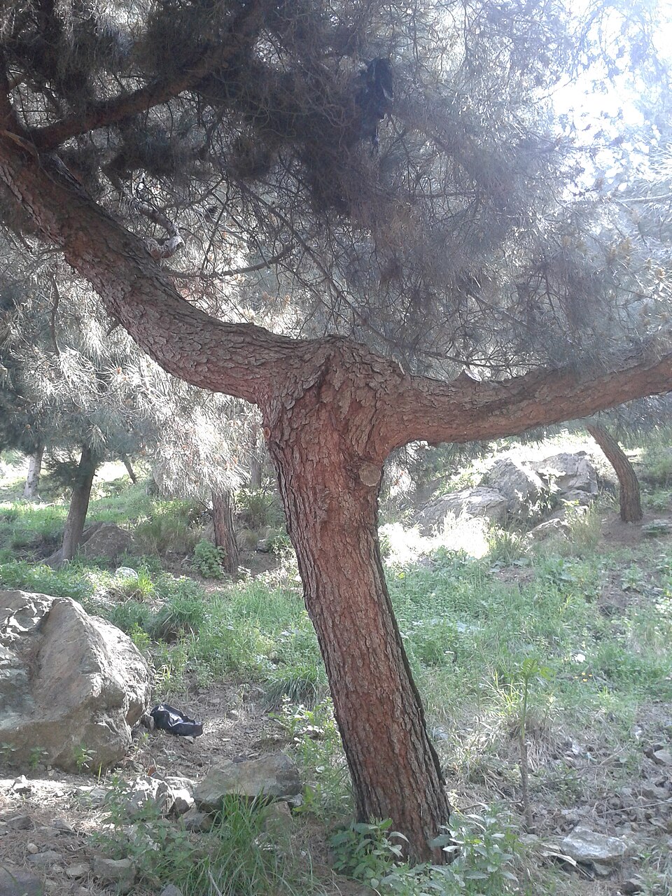
Allow half a day for the mountain on its own, and a full day if combining it with the Ottoman core in Şehzadeler.
Driving the 24 km of asphalt road to the upper park and back, with a stop at a viewpoint, is three to four hours; that time belongs to the park experience proper and is covered on Spil Dağı Milli Parkı's own page. The Manisa relief at Akpınar adds roughly an hour if driving out that way, mostly the stop itself, since the carving sits beside the road with no walk-in required.
The Beşpınar–Spil Zirve–Sülüklügöl hiking route to the summit and back is a full day for anyone on foot — closer to six to eight hours depending on fitness and pace, since it climbs roughly 900 vertical metres and returns the same way or via the lake.
There is no version of Sipylus that works from the city centre without a car, a taxi, or several hours of walking uphill before the mountain's attractions even begin.
Checked 2026-08-24
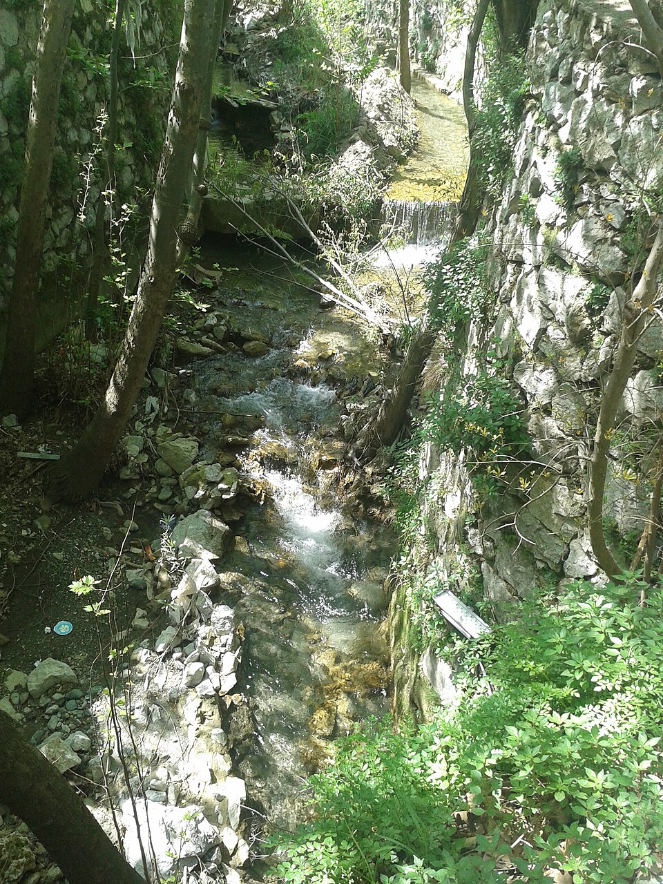
Spring and early autumn suit the mountain as a whole. April and May put the wildflowers out and keep the upper slopes comfortable while the plain below is already hot; September and October give the same comfort with clearer long-distance views once summer haze over the plain has cleared.
For the Beşpınar–Spil Zirve–Sülüklügöl hike specifically, an early start matters more than the season: the ascent takes most of a day, and afternoon heat on the lower, more exposed stretches is the real obstacle in summer, more so than at the shaded upper elevations. Winter does not close the mountain, but snow above roughly 1,000 m turns the hike from a walk into a proper winter outing, and the upper road becomes a mountain road in the technical sense rather than the scenic one.
Midsummer still works for the road-accessible sights, since the road climbs into cooler air quickly enough, but it is a poor month for the exposed hiking route.
Checked 2026-08-24
No fee applies to the mountain as a landform. The charge belongs to Spil Dağı Milli Parkı, the managed portion of the mountain reached by the upper road, and the full figure — including the per-vehicle table — is covered on the park's own page.
The Weeping Rock and the Manisa relief are both open sites with no gate, and carry no admission charge of their own; the sources this page uses place both outside the ticketed park boundary. A driver continuing past either of them up the mountain should still expect the park's own gate charge once inside its boundary: 60 TRY per adult (30 TRY reduced with ID) plus a separate vehicle fee running from 60 TRY for a bicycle to 1,800 TRY for a coach, current as of the sources checked for this page.
Checked 2026-08-24 · Source
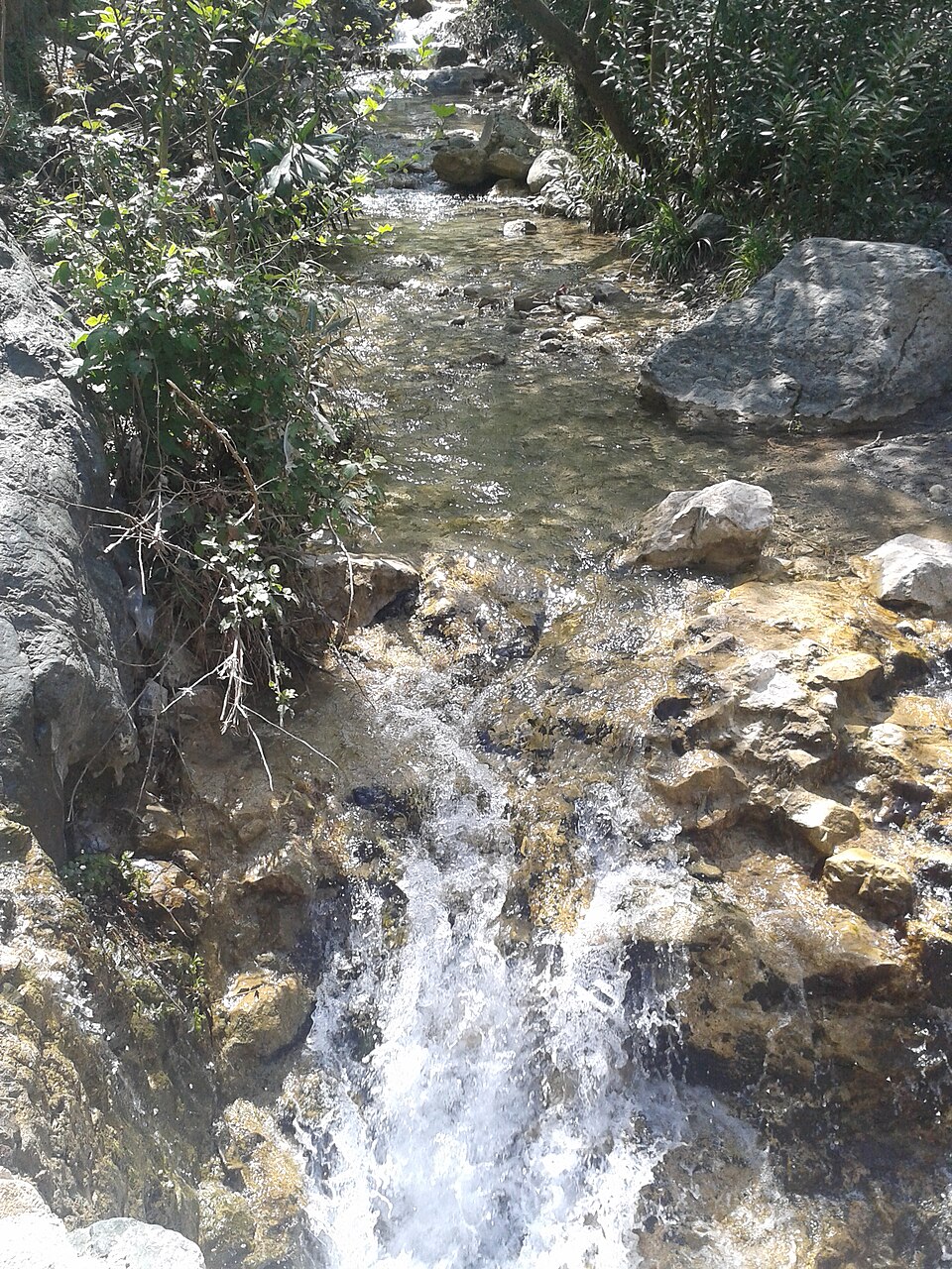
By car, from central Manisa, on the 24 km of asphalt road that climbs from the southern edge of the city. The same road, in its first few minutes, also reaches the Weeping Rock, so neither it nor the Manisa relief needs the full drive to the upper park; the relief sits further out, along the road east through Akpınar.
The Beşpınar–Spil Zirve–Sülüklügöl hiking trail starts from Beşpınar, on the mountain's lower slope, and is the route for anyone approaching the summit on foot rather than by road.
There is no public transport up the mountain. Reaching Manisa itself is straightforward: four trains a day from İzmir Basmane take about 90 minutes, local buses cover the 40 km in about 35 minutes, and İzmir Adnan Menderes airport is roughly 65 km away.
Checked 2026-08-24
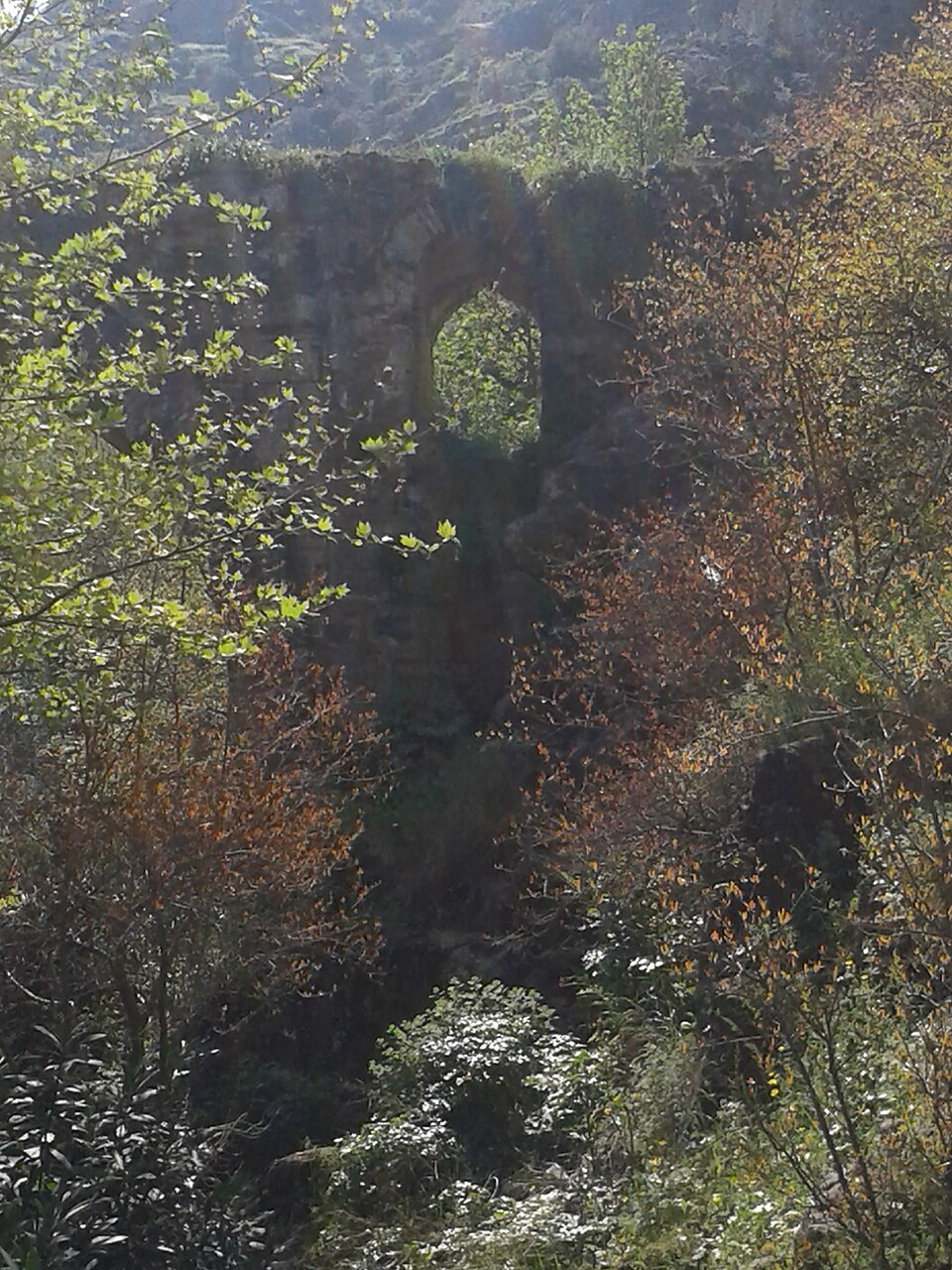
The mountain's karst geology is the main hazard for anyone leaving the road: limestone country like this includes dolines (sinkholes), caves and fluted rock that are easy to twist an ankle on, or in the case of an unmarked doline, fall into. Staying on marked paths matters more here than the modest elevation suggests.
The Beşpınar–Spil Zirve–Sülüklügöl hike gains roughly 900 vertical metres over a full day; it is a mountaineering-club route rather than a casual walk, and setting out without water, proper footwear and a turnaround time is how people get caught by dark or by weather on an exposed limestone ridge.
The Manisa relief sits close to a public road; viewing it means pulling well off the carriageway rather than stopping in it. Neither the relief nor the Weeping Rock has a guard or a fence, and nothing prevents touching either — nothing should encourage it, given their age.
Checked 2026-08-24
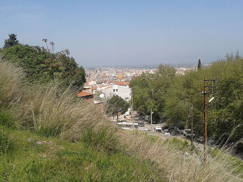
The reward from the summit and the upper slopes is the long view: Manisa on its skirt below, the Gediz plain beyond it, and on a clear day İzmir's hills on the horizon — best in the clear air of spring or autumn mornings, before haze builds over the plain through the day.
The karst formations along the Beşpınar route — dolines, fluted limestone, cave mouths — reward close, textural shots more than wide ones; midday sun flattens limestone badly, so timing a hike around early or late light pays off.
The Manisa relief faces the Gediz plain and sits in a rock face that is in shadow for much of the day, which is why most photographs of it read flat and low-contrast; there is no single reliable fix short of trying different hours to find the one that rakes light across the carving.
Checked 2026-08-24
Not to the mountain itself. The fee belongs to Spil Dağı Milli Parkı, the managed portion reached by the upper road: 60 TRY per adult plus a vehicle fee from 60 TRY for a bicycle to 1,800 TRY for a coach. The Weeping Rock and the Manisa relief, both lower on the mountain, carry no charge of their own.
Yes. The Beşpınar–Spil Zirve–Sülüklügöl route climbs from around 600 m to the 1,513 m summit and back down past Sülüklü Lake, and is run as a standard full-day outing by regional mountaineering clubs.
A seated rock-cut figure at Akpınar, roughly eight by ten metres, dated to the 13th century BCE and identified by the Ministry's own cultural inventory as a Hittite-period depiction of the goddess Kybele, with Luwian hieroglyphic inscriptions nearby.
No. They are two separate features roughly five kilometres apart on the same mountain: the Weeping Rock is an unworked natural formation read as the mourning Niobe, and the Manisa relief is a deliberately carved, inscribed monument. Sources routinely conflate the two, partly because the mythical sculptor Broteas is linked to both traditions.
For the upper park and the Manisa relief, yes — neither is reachable by public transport, and the relief in particular sits beside a road with no walking route in. The Weeping Rock, lower on the mountain, is close enough to the city to reach without a car.
April and May for the wildflowers and comfortable temperatures at altitude, or September and October for clearer long-distance views once summer haze over the Gediz plain has settled. Summer is workable for the road-accessible sights but poor for the exposed hiking route.
Loading the interactive map…
The interactive map could not be loaded.
Last updated:
Source: OpenStreetMap contributors, Wikidata ·