


319 min walk
Aytap
- Notable
- Historic monument
Language · 1 published
Historic monument · Antalya
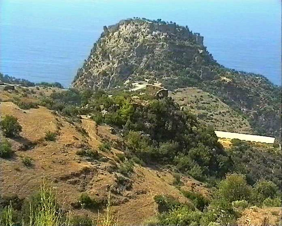
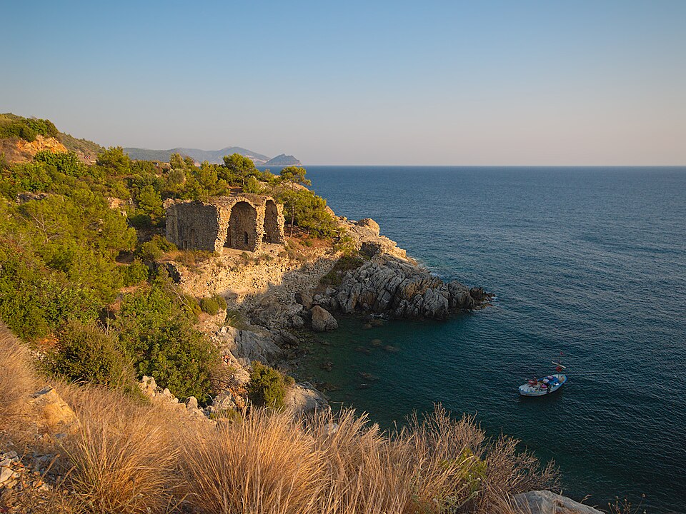
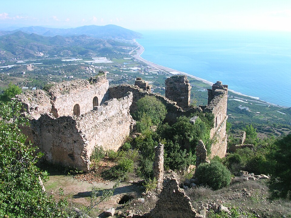
Antiochia ad Cragum is an ancient archaeological site situated on the southern coast of Turkey's Antalya province. The settlement was established during the Hellenistic period and later developed under Roman rule. Its name references the mountainous terrain of the surrounding region. The site occupies a dramatic coastal position with steep cliffs descending to the Mediterranean Sea. Archaeological investigations have revealed urban foundations, defensive structures, and evidence of sustained occupation spanning multiple classical eras. The location offers visitors exposure to layered historical periods within a striking natural landscape characteristic of the Turkish Riviera's archaeological heritage.
Checked 2026-08-26
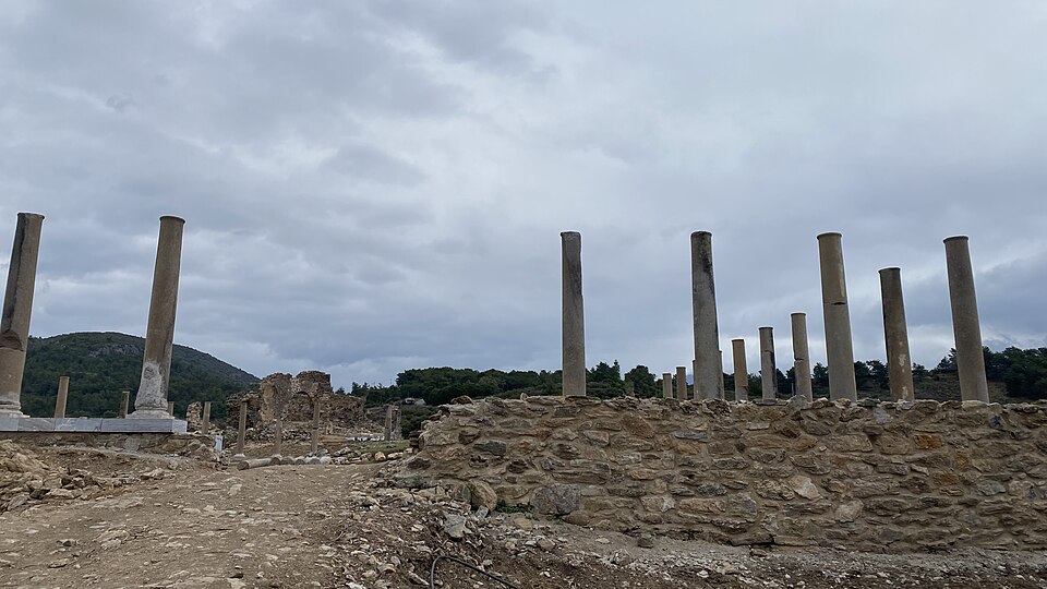
The archaeological remains at Antiochia ad Cragum include visible structural foundations, wall segments, and terraced construction adapted to the steep topography. Elements of the ancient city's infrastructure can be traced across the hillside site. A temple area has been identified through archaeological work, along with bath complex foundations and street alignments. The defensive walls and gate structures demonstrate the settlement's strategic military importance. Coastal erosion has affected some peripheral areas. The combination of built heritage and dramatic cliff-top positioning creates a distinctive visitor experience. Ongoing archaeological research continues to refine understanding of the site's layout and chronological development across successive occupation phases.
Checked 2026-08-26
A thorough visit to Antiochia ad Cragum typically requires between ninety minutes and two and a half hours depending on individual interest levels and physical mobility. The uneven terrain and sloping ground necessitate careful pacing. Visitors with dedicated archaeological or historical interests may extend their stay to examine specific structural remains in greater detail. The coastal setting invites contemplative stops to appreciate the Mediterranean views from the elevated position. Photography enthusiasts often allocate additional time to capture the interplay of ancient stonework and maritime scenery. Combining this site with nearby coastal attractions would extend a regional excursion to a full day.
Checked 2026-08-26
The optimal visiting period for Antiochia ad Cragum falls within the spring and autumn months when Mediterranean coastal temperatures are moderate and conditions for walking on exposed terrain are most comfortable. Summer visits are feasible during early morning or late afternoon hours to avoid peak heat on the unshaded hillside. Winter precipitation may render paths slippery and reduce accessibility. Operator-confirmed hours are Not recorded pending review. Visitors should verify current access arrangements before travelling, as archaeological sites in this region may have variable seasonal schedules. Coastal weather patterns can shift rapidly; checking local forecasts remains advisable regardless of season.
Checked 2026-08-26
Access arrangements for Antiochia ad Cragum are not comprehensively documented in available sources. Operator-confirmed prices are Not recorded pending review. Many archaeological sites in Turkish state care operate under the Ministry of Culture and Tourism with standardized fee structures, though specific applications to this location remain unverified. Visitors should anticipate potential entrance charges consistent with comparable heritage sites in the Antalya region. International museum pass schemes may or may not provide coverage. Verification of current payment requirements, accepted methods, and any available concessions should be obtained through official Turkish tourism channels or direct enquiry at regional visitor information points before arrival.
Checked 2026-08-26
Antiochia ad Cragum occupies a coastal position east of Antalya's central tourism districts, requiring private transportation or organized excursion arrangements for practical access. The site lies away from major public transit corridors serving the main resort concentrations. Road access connects through regional coastal routes with varying surface conditions. Rental vehicles provide maximum flexibility for reaching this and other dispersed archaeological locations along this coastline. Navigation requires attention as signage for secondary archaeological sites can be limited. Visitors should confirm precise route details and parking availability in advance. The remote setting demands adequate fuel, water, and sun protection regardless of transport method selected.
Checked 2026-08-26
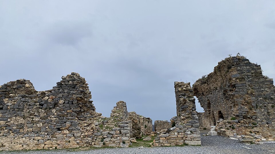
The cliff-top setting presents genuine fall hazards; visitors must maintain distance from unprotected edges and supervise children vigilantly. Uneven archaeological surfaces create trip risks requiring sturdy footwear with adequate grip. Summer exposure brings dehydration and sunburn dangers with limited shade coverage across the site. Snakes and scorpions inhabit Mediterranean maquis vegetation; sticking to clear paths reduces encounter probability. No visitor facilities such as water points, restrooms, or emergency services are present on-site. Mobile telephone coverage may be intermittent in this coastal terrain. Informing others of intended visit timing represents prudent practice given the relative isolation of this archaeological location from regular tourist monitoring.
Checked 2026-08-26
The elevated coastal position yields exceptional photographic opportunities combining archaeological textures with Mediterranean seascapes. Morning and late afternoon light produces optimal conditions for illuminating stone surfaces against the blue water backdrop. Wide-angle lenses accommodate the expansive views from clifftop vantage points. Detail photography of masonry construction and weathering patterns rewards macro or standard zoom equipment. The steep terrain offers varied elevation perspectives for compositional variety. Drone operation would require verification of Turkish aviation regulations and any site-specific restrictions. No permanent photography restrictions are documented, though respectful practice at archaeological locations remains expected. Tripods may assist with low-light conditions though wind exposure complicates long exposures.
Checked 2026-08-26
The steep, uneven terrain presents significant challenges for visitors with mobility limitations. The archaeological site lacks paved paths, handrails, or accessibility accommodations. Individuals using wheelchairs or with balance difficulties should assess conditions carefully before attempting access.
Regular guided tour services at Antiochia ad Cragum are not documented in available sources. Visitors typically explore independently or arrange private guiding through Antalya-based archaeological tour operators. Advance research and booking is recommended for specialized historical interpretation.
Essential items include sturdy walking shoes, sun protection, drinking water, and any required medications. The remote location lacks facilities for supply purchase. A basic first aid kit and fully charged mobile telephone are prudent inclusions given limited services.
The steep cliffs at Antiochia ad Cragum create hazardous conditions for sea access. Swimming from this location is inadvisable due to dangerous drop-offs, submerged rocks, and absence of lifeguard services. Safer coastal swimming options exist at established beaches nearby.
Antiochia ad Cragum has attracted scholarly attention through archaeological survey and excavation projects. Specific publication details are not recorded in this context. Academic researchers and serious students may pursue bibliographic resources through archaeological institutions specializing in Asia Minor studies.
Immediate proximity facilities are not present at this isolated archaeological location. The broader Antalya coastal region contains extensive tourism infrastructure including dining and lodging options. Visitors should plan supply and scheduling needs around distances to established service centers.
Loading the interactive map…
The interactive map could not be loaded.

Last updated:
Source: OpenStreetMap contributors, Wikidata ·