252 min walk
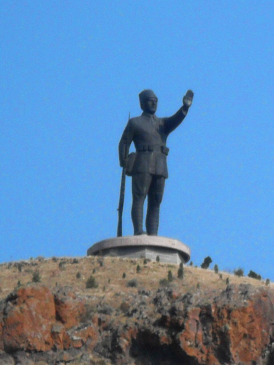
Mehmetçik Monument
- High
- Historic monument
Language · 11 published
Historic monument · Ankara
Reviewed by Elena Voss · SSMTour Travel Editor
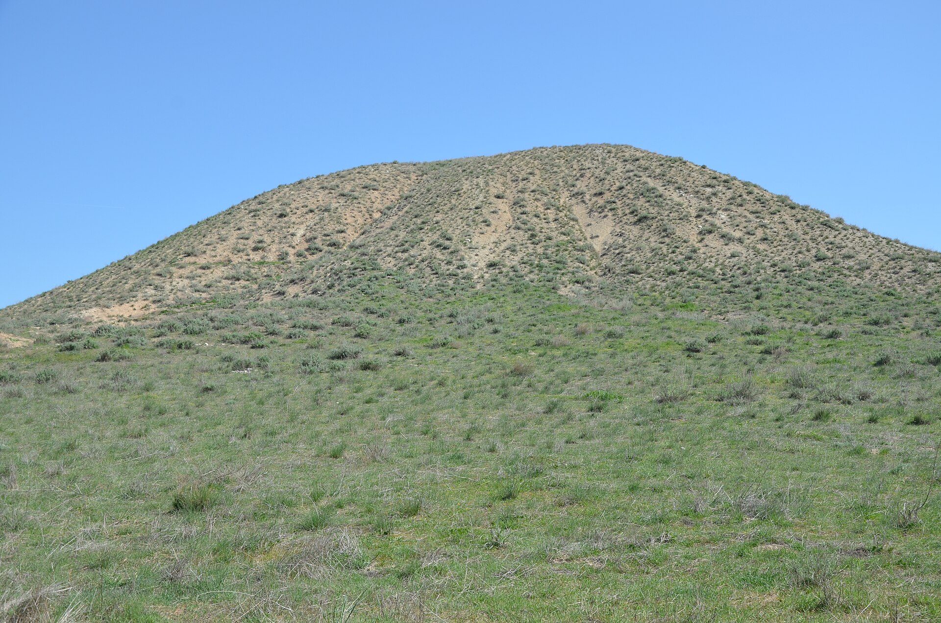
Hacıtuğrul Höyüğü is a large archaeological mound in Polatlı district of Ankara Province, also known as Karahöyük and Yenidoğan Höyük. Rising about 24 metres above the surrounding plain and measuring roughly 650 by 600 metres, it is a prominent landscape feature. Its importance lies in buried settlement layers and continuing archaeological investigation, rather than standing monumental architecture or a conventional museum experience. Its broad silhouette helps visitors understand why settlement mounds are archaeological records of accumulated occupation rather than single-period ruins.
Checked 2026-09-02 · Source
The principal subject is the mound itself: its broad slopes, elevated profile and surrounding open ground. Archaeological evidence indicates settlement between the 11th and 5th centuries BC, including a Phrygian phase especially associated with the 7th and 6th centuries BC. The available descriptions do not identify permanent galleries, labelled indoor displays or a visitor centre. Visible trenches, exposed remains and working areas may vary as excavation advances, so the landscape and evidence of successive occupation are more reliable expectations than a fixed set of exhibits. The site is therefore most meaningful when read as a layered settlement landscape, where the shape of the terrain is part of the archaeological evidence.
Checked 2026-09-02 · Source
Hacıtuğrul Höyüğü does not have a documented museum-style circuit or a published standard visit duration. If a safe approach is possible and observation does not interfere with archaeological work, a short stop may be enough to take in the mound’s scale and setting. A longer outing should allow time for the journey from Ankara, identifying a safe place to arrive, viewing the landform from outside working areas and departing carefully. The physical site is open terrain rather than a sequence of rooms, displays and timed admissions, so the experience depends on conditions at arrival. Visitors interested in the archaeology should also allow time to compare the mound’s scale with the surrounding plain and nearby Gordion landscape.
Checked 2026-09-02 · Source
The mound is best understood in daylight, when its height, footprint and relationship with the surrounding plain are easiest to read. Conditions may change with weather, natural ground and the progress of archaeological work. Because no published visitor timetable is documented, a daylight arrival should not be treated as a guaranteed admission slot. The excavation record connects the site with work by the Directorate of the Museum of Anatolian Civilizations. Any barriers, staff directions or local restrictions encountered at the mound take priority over a planned itinerary, particularly during active fieldwork. Clear weather can make the landform easier to interpret, but no particular season or weekday is documented as an official preferred visiting period.
Checked 2026-09-02 · Source
No verified admission tariff, child rate or ticketing procedure is documented for Hacıtuğrul Höyüğü in the supplied responsible-institution research. The site is an archaeological mound associated with excavation, not a described museum ticket counter or permanent exhibition. This guide therefore records no admission charge; it does not promise unrestricted public access. Entry or close approach may be controlled, limited or unavailable when archaeological work is underway, so visitors should follow the authority responsible for the site and respect any access direction given on arrival. The absence of a recorded tariff should not be interpreted as confirmation that every part of the mound is freely accessible.
Checked 2026-09-02 · Source
The mound is described at about kilometre 60 of the Ankara–Polatlı highway, between Hacıtuğrul Mahallesi and Yenidoğan railway station. Yenidoğan is a geographic reference named in the research, not proof of a convenient pedestrian route: no structured walk from the station to the mound is documented. A private vehicle or separately arranged local transfer may be more practical. Plan the final approach around safe stopping and natural ground, and never leave a vehicle where highway traffic makes getting out hazardous. The railway station can help orient a journey on the map, but the final connection should be treated as an unresolved rural approach rather than a station-side attraction with an established entrance.
Checked 2026-09-02 · Source
This is a natural mound and an archaeological workplace, not a level visitor complex with surfaced paths and facilities. Its approximately 24-metre height and broad 650-by-600-metre footprint can make movement demanding where an approach is possible. Do not climb into trenches, dig, touch finds, cross barriers or enter active work areas. Keep clear of equipment and excavation teams, follow directions on site, and wear stable footwear suited to natural ground. Weather can alter footing, while roadside arrival requires particular care around moving traffic. The absence of a documented visitor infrastructure also means that visitors should not expect formal paths, indoor shelter or staffed interpretation at the mound itself.
Checked 2026-09-02 · Source
The mound’s broad profile and open relationship with the Polatlı landscape are its strongest photographic subjects. A wide composition can show the scale suggested by its approximately 650-by-600-metre footprint more effectively than a close view of one slope. Photograph from stable ground and outside excavation zones, barriers and restricted areas. Do not move soil or objects, enter trenches or use researchers, equipment or exposed finds as props. If staff or local authorities impose photography limits during active work, those instructions take priority. The site is best recorded through its setting and sense of scale, especially where a distant viewpoint shows the mound rising above the plain without requiring an unsafe climb.
Checked 2026-09-02 · Source
Hacıtuğrul Höyüğü is in Polatlı district of Ankara Province.
The mound is also known as Karahöyük and Yenidoğan Höyük.
Hacıtuğrul Höyüğü is approximately 30 kilometres from the ancient city of Gordion.
The mound is approximately 650 by 600 metres and 24 metres high.
Settlement evidence spans the 11th to 5th centuries BC, with the Phrygian settlement especially associated with the 7th and 6th centuries BC.
After excavation campaigns from 1972 to 1979 and a single season in 1996, work restarted in 2022.
Loading the interactive map…
The interactive map could not be loaded.
Last updated:
Source: OpenStreetMap contributors, Wikidata ·