Heet Cave
كهف هيت
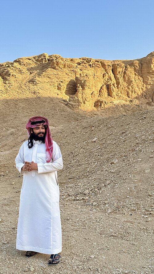
Heet Cave is a natural cave formation located near Riyadh, Saudi Arabia. Known locally as كهف هيت, it represents a geological feature of interest in the broader Riyadh region.
- Must see
- Nature site
Language · 11 published
City guide · Saudi Arabia
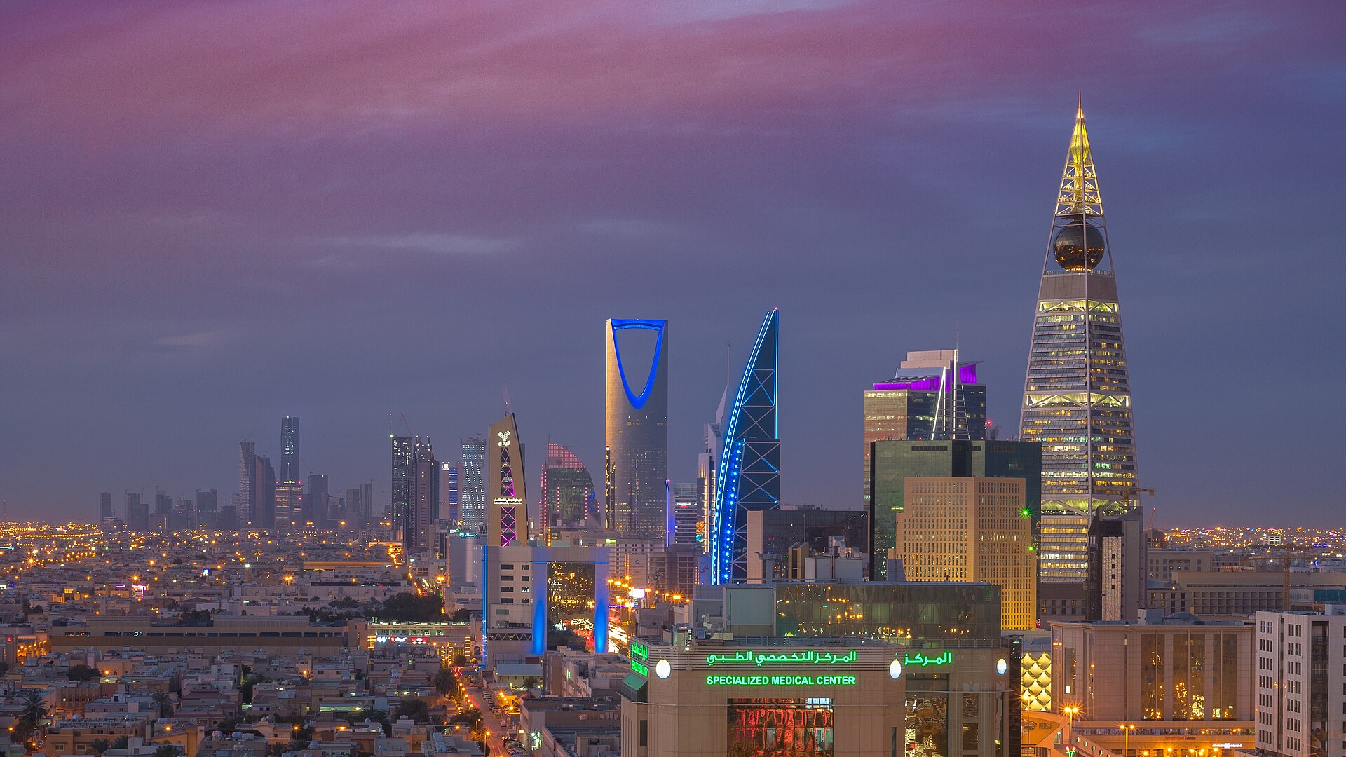
Riyadh is a broad inland capital with historic, cultural and business districts separated by long urban corridors. Qasr Al Hukm and Al Masmak define the old central core; the National Museum and King Abdulaziz Historical Centre form a nearby cultural cluster. Olaya and the Kingdom Centre run north through the modern city, while KAFD and Diriyah sit farther northwest. Build each day around one corridor rather than crossing the capital repeatedly.
Set your days, your pace and the hours you actually want to be out. The planner works around closing days and travel time, and leaves room to eat.
Ranked by importance — sitelinks, pageviews and heritage status, not editor preference.
25 places match
Category
Typical visit duration
كهف هيت
Heet Cave is a natural cave formation located near Riyadh, Saudi Arabia. Known locally as كهف هيت, it represents a geological feature of interest in the broader Riyadh region.
حديقة السلام
Salam Park is a public park in central Riyadh, Saudi Arabia. Its local name is منتزه سلام. The park occupies a notable footprint in the urban landscape and serves as a green space within the capital city.
منتزه الملك عبدالله
King Abdullah Park is a major public park in Riyadh, Saudi Arabia. Its local name is حديقة الملك عبدالله. The park serves as a significant recreational green space within the capital city.
حديقة الملك سلمان
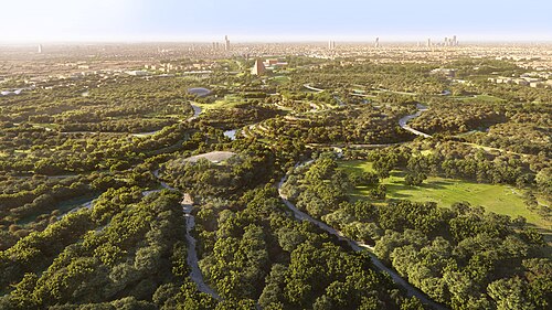
King Salman Park is a major green space in Riyadh, Saudi Arabia, bearing the local name حديقة الملك سلمان.
حديقة الفوطة
Al Futah Park is a central public park in Riyadh, Saudi Arabia. Its local name is حديقة الفوطة. The park serves as a distinct central public space, replacing the Diplomatic Quarter component in earlier references.
حديقة الملك عبدالعزيز
King Abdulaziz Park is a public park in Riyadh, Saudi Arabia, occupying the site of a former exhibition facility. The local name is حديقة الملك عبدالعزيز.
منتزه السويدي
المسار الرياضي
ذا قروڤ
حديقة الدوح
حديقة العمل
حديقة العقيق
حديقة الاريج
حديقة الازدهار الثانية
Source: OpenStreetMap contributors, Wikidata ·
Old Riyadh centres on Qasr Al Hukm, Al Masmak and Al Zal Market. The National Museum lies north of this core in the King Abdulaziz Historical Centre. Olaya Road forms the principal modern spine through towers, hotels and shopping areas. KAFD occupies a newer northern district, while the Diplomatic Quarter and historic Diriyah lie west and northwest. Desert-edge destinations such as Wadi Hanifah or Jebel Fihrayn require separate road planning outside the central visitor grid.
Checked 2026-08-26
Use Riyadh Metro and the integrated bus network for journeys that align with their routes, then use a taxi or other regulated road transport for destinations beyond convenient stations. Riyadh Municipality describes the public transport project as an integrated train-and-bus network, while official journey tools handle route planning and tickets. Distances and summer heat make long cross-city walks impractical; walking is best reserved for individual heritage, museum or business clusters.
Checked 2026-08-26
No fixed stay length is recorded. Plan separate blocks for Old Riyadh, the National Museum area, Olaya, KAFD or Diriyah, then add any desert-edge excursion independently.
Walking works inside Qasr Al Hukm, a museum complex or another defined cluster. The city's major districts are too dispersed for a continuous sightseeing walk.
Yes. Riyadh Municipality describes an integrated metro and bus network developed under the King Abdulaziz Public Transport Project.
Al Masmak, Qasr Al Hukm and Al Zal Market form the old-city cluster. The National Museum and King Abdulaziz Historical Centre belong to another nearby cultural block.
No. Historic Diriyah lies northwest of the central core and deserves a planned journey rather than an improvised extension of an Olaya or downtown walk.