


7 min walk
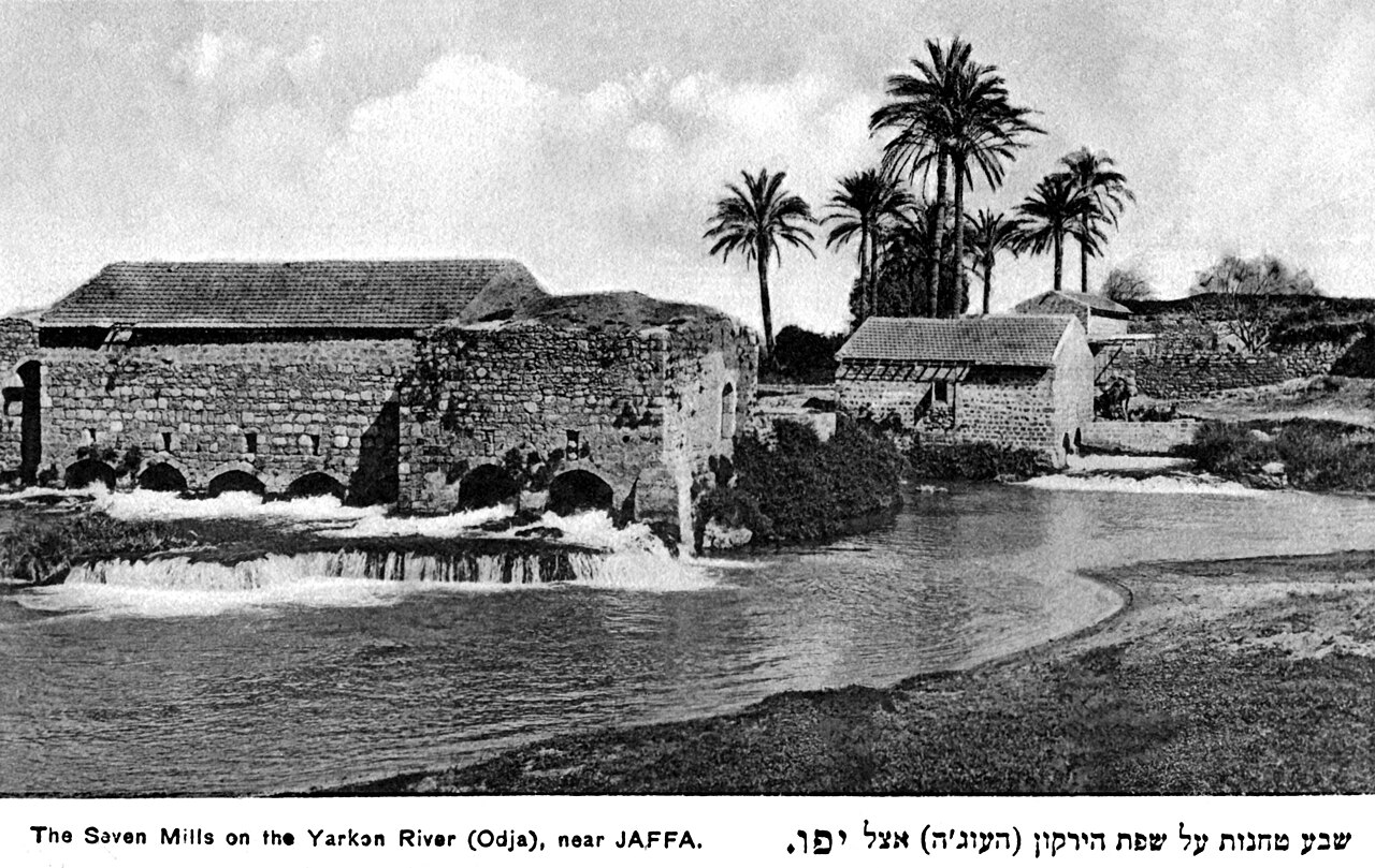
Sheva Tahanot
- Must see
- Historic monument
Language · 11 published
Historic monument · Tel Aviv
גבעת נפוליאון (תל גריסה)
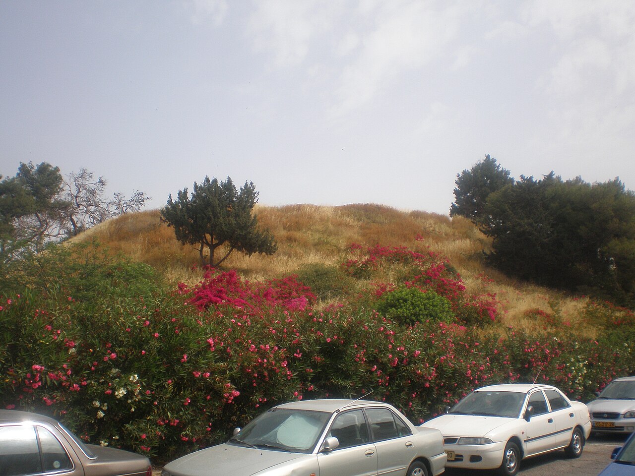
Tel Gerisa, locally known as Tel Napoleon, is an archaeological mound situated in the Tel Aviv-Yafo municipality. The site represents an ancient settlement tel, a layered hill formed by successive periods of human occupation. Archaeological investigation has revealed remains spanning multiple historical eras, contributing to understanding of settlement patterns in the coastal plain region. The site is recognized in municipal visitor documentation as a heritage location of archaeological significance, though it does not feature prominently in mainstream tourism circuits. Its local name references a historical association with Napoleon's military campaign in the region.
Checked 2026-08-26
The tel contains stratified archaeological deposits representing extended human habitation. Excavations have uncovered material remains including pottery, tools, and architectural fragments from various occupation phases. The mound structure itself constitutes the primary visible feature, with accumulated layers of debris from successive settlements. Specific finds and their precise chronological attribution require specialist archaeological assessment. The site lacks developed visitor infrastructure such as explanatory signage, protective shelters, or curated display areas. Surface examination may reveal ceramic scatter and topographical features indicative of former settlement layout, though substantial interpretation demands expert knowledge of regional archaeology.
Checked 2026-08-26
Visitor duration at Tel Gerisa depends substantially on individual interest in archaeological sites and prior familiarity with tel morphology. Casual observers typically complete external examination within fifteen to thirty minutes. Those with archaeological background or specific research interest may extend examination considerably, though unrestricted subsurface investigation is not permitted. The site contains no designated trails, interpretive circuits, or marked points of interest that would structure a longer visit. Combination with other nearby locations in the Tel Aviv-Yafo area would constitute a more substantial excursion. Independent research preparation enhances visit meaningfulness given minimal on-site information provision.
Checked 2026-08-26

Operator-confirmed hours are Not recorded pending review. The site appears to lack formal operating hours or access restrictions based on available documentation. Visitors should anticipate unregulated access typical of undeveloped archaeological locations. Seasonal considerations for the Tel Aviv region include hot, humid summers with intense midday sun, and mild, occasionally rainy winters. Morning visits during warmer months reduce heat exposure. The exposed mound offers minimal natural shade, requiring appropriate sun protection and hydration. Evening visits may coincide with reduced visibility for surface examination. No illumination infrastructure is documented for nighttime access.
Checked 2026-08-26
Operator-confirmed prices are Not recorded pending review. No admission fee structure is documented for Tel Gerisa. The site's status as an undeveloped archaeological location without visitor facilities suggests free public access, though this cannot be confirmed definitively. No ticket office, automated entry system, or payment mechanism is indicated in available sources. Visitors should carry identification and comply with any municipal regulations concerning archaeological site access. Group visits or organized educational activities may require advance coordination with municipal heritage authorities, though specific contact protocols are not established in accessible documentation.
Checked 2026-08-26

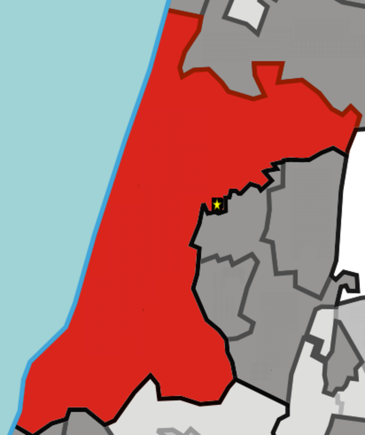
Tel Gerisa is located within Tel Aviv-Yafo municipal boundaries. Public transportation options include bus routes serving the broader area, with walking distance varying by exact stop location. Private vehicle access requires identification of appropriate parking, which may be limited in surrounding residential or commercial zones. The site lacks dedicated parking infrastructure or prominent directional signage. Pedestrian access from nearby streets appears feasible based on urban location, though specific entry points are not formally designated. Visitors should consult updated mapping services for precise positioning, as the mound may be visually inconspicuous among urban development. Bicycle access follows municipal cycling infrastructure where present.
Checked 2026-08-26

The tel structure may present uneven terrain, erosion channels, and unstable surfaces requiring cautious foot placement. No safety barriers, guardrails, or warning signage are documented. Weather conditions affect surface stability, with rain creating slippery conditions on exposed slopes. Vegetation cover may conceal holes or uneven ground. The urban context necessitates standard personal security awareness applicable throughout Tel Aviv-Yafo. No emergency services or communication infrastructure is specifically associated with the site. Archaeological deposits are protected heritage; removal of artifacts or disturbance of stratigraphy constitutes legal violation. Visitors should report any apparent unauthorized excavation or damage to appropriate authorities.
Checked 2026-08-26
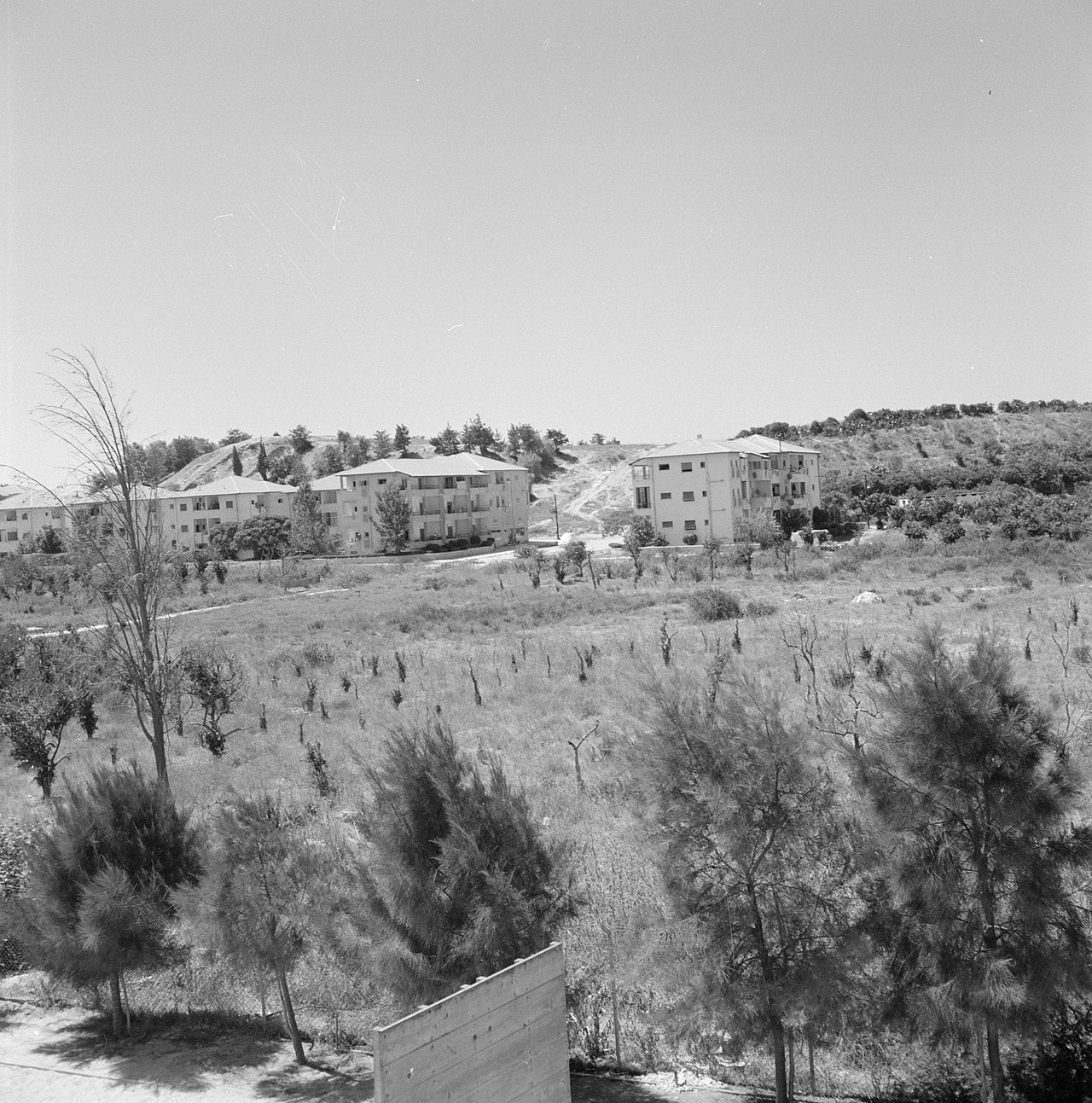
Photography appears permitted given unrestricted public access status, though no explicit policy is documented. The mound offers limited compositional variety, with elevation providing potential vantage points over surrounding urban landscape. Lighting conditions favor early morning or late afternoon for reduced contrast and warmer tones. Overcast conditions may benefit detail recording of surface features. Drone operation requires compliance with Israeli civil aviation regulations and municipal restrictions, particularly in urban areas. No commercial photography permit requirement is indicated. Tripod use may attract attention in the urban environment without constituting specific prohibition. Respect for adjacent private properties is necessary when positioning for shots.
Checked 2026-08-26
Yes, Tel Napoleon is the local name for Tel Gerisa, referencing an association with Napoleon's campaign in the region.
No guided tour provision is documented. The site lacks formal visitor infrastructure and appears to rely on independent exploration.
Unauthorized subsurface investigation is not permitted. Archaeological deposits are protected heritage requiring preservation.
The uneven terrain and lack of developed paths present accessibility challenges. Cautious judgement is advised regarding individual capabilities.
No on-site facilities are documented. Visitors should utilize services in surrounding urban areas before arrival.
The extent of archaeological investigation is not specified in available documentation. Tels typically contain extensive unexcavated deposits.
Loading the interactive map…
The interactive map could not be loaded.
Last updated:
Source: OpenStreetMap contributors, Wikidata ·