.jpg)
6 min walk
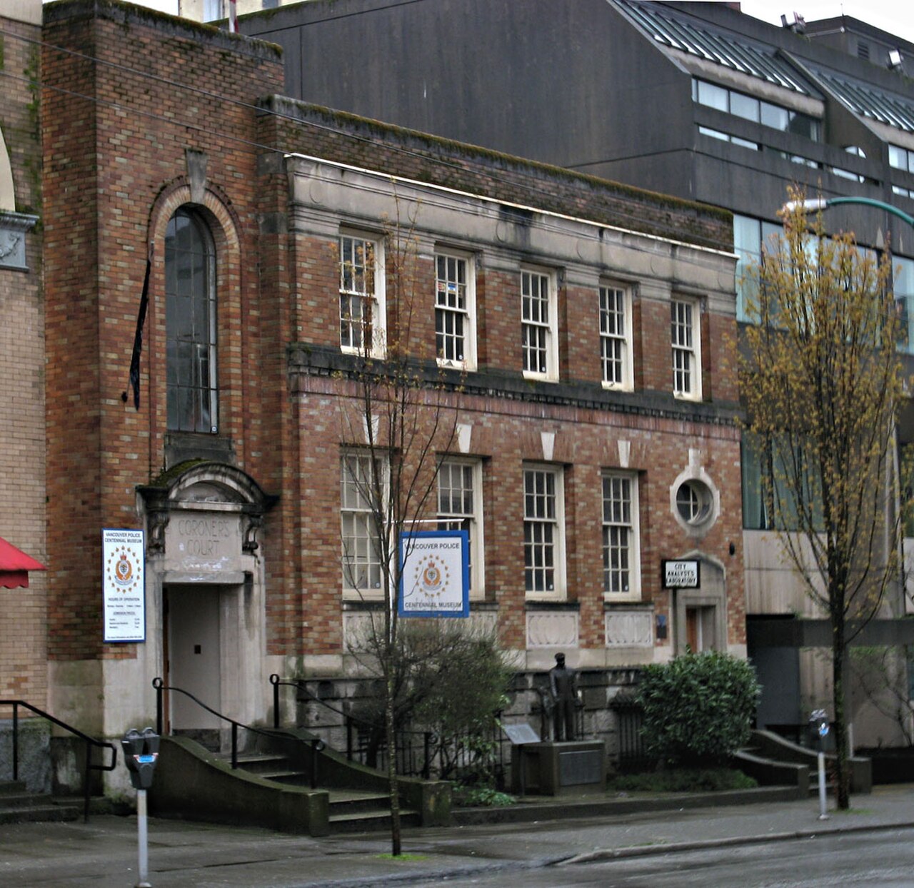
Vancouver Police Museum
- Must see
- Museum
Language · 11 published
Nature site · Vancouver

| Monday | 06:00 – 22:00 |
|---|---|
| Tuesday | 06:00 – 22:00 |
| Wednesday | 06:00 – 22:00 |
| Thursday | 06:00 – 22:00 |
| Friday | 06:00 – 22:00 |
| Saturday | 06:00 – 22:00 |
| Sunday | 06:00 – 22:00 |
Checked 2026-08-31 · Source
Read from the OpenStreetMap access tags; anything not listed has no tag recorded.
Set the group type to family in the planner and the day window contracts to about three quarters of a solo day.
CRAB Park at Portside is a compact harbour park on Vancouver’s downtown waterfront. Its name comes from Create a Real Available Beach, reflecting community efforts to create public access beside an industrial shoreline. The park sits between rail infrastructure and Burrard Inlet, giving visitors an unusual combination of grass, sand, working port activity, and views toward the mountains. CRAB Park at Portside is a small harbour park in downtown Vancouver, situated along the working waterfront. The park's name derives from an acronym for Create a Real Available Beach, reflecting community efforts to establish public access to this industrial shoreline. It occupies a narrow strip of land between the rail yards and Burrard Inlet, offering visitors a rare glimpse into Vancouver's active port operations. The park serves as a reminder of the city's maritime heritage while functioning as a contemporary public green space in an otherwise industrial zone. Swimming is not recommended due to the active industrial harbour environment and unmonitored water quality.
Checked 2026-08-26 · Source
The park includes grassy areas, benches, picnic tables, a children’s playground, and a sandy beach section. From the shoreline, visitors can watch tugboats, cargo activity, and other marine traffic in the working harbour. A large orange boulder marks the entrance and adds a memorable visual detail. The beach brings you close to the water, but the park’s main appeal is observation and public waterfront access rather than swimming. The park contains basic amenities including grassy areas, benches, and a sandy beach section. Visitors will find a children's playground and picnic tables scattered throughout. The shoreline allows for close observation of the working port, with tugboats, cargo operations, and marine traffic visible from the park. A notable feature is the large orange boulder marking the park entrance, painted by a local artist. The beach area provides access to the water's edge, though swimming is not recommended due to industrial activity and water quality concerns in this active harbour zone.
Checked 2026-08-26 · Source
A quick look around takes about twenty to thirty minutes, and the compact park can be crossed on foot in roughly ten minutes. Allow one to two hours if you want to watch port operations, sit by the inlet, use the playground, or have a picnic. Photographers may stay longer while waiting for changing light, tugboats, or clearer mountain views across the water.
Checked 2026-08-26 · Source
Long summer evenings give the best opportunity to combine the park with extended waterfront viewing. Clear weather brings the North Shore mountains into sharper focus, while fog and rain create a more atmospheric industrial scene. Winter visits can still be rewarding for the harbour character, but wind and rain are common considerations. The park’s narrow footprint makes a short daytime visit easy to combine with nearby downtown neighbourhoods.
Checked 2026-08-26 · Source
CRAB Park is a public municipal park with free general access. There is no ticketed entrance or reservation process for walking along the shoreline, sitting on the grass, using the playground, or viewing the harbour. Bring supplies for the length of your visit because the park is a small recreational space in an industrial waterfront setting. Any spending would relate to separate services outside the park itself.
Checked 2026-08-26 · Source
The park lies near Main Street and Waterfront Road on Vancouver’s northeastern downtown waterfront. Main Street–Science World Station provides a nearby SkyTrain connection, followed by a walk through streets shaped by rail and port activity. Bus services run along Main Street. Walking from Gastown or the Downtown Eastside is possible, while cycling requires attention around industrial traffic. Vehicle parking is limited, so transit or walking is the more practical approach.
Checked 2026-08-26 · Source
Rail lines and working industrial roads surround the park, so obey crossing signals and remain within public areas. Heavy vehicles, port noise, and changing waterfront weather are part of the setting. The beach is not a swimming destination; avoid contact with harbour water. Wind and rain can arrive quickly along Burrard Inlet. Services are limited, so bring what you need for a short outdoor stay and supervise children near the shoreline and playground.
Checked 2026-08-26 · Source
CRAB Park is particularly effective for layered photographs: sandy foreground, working harbour in the middle distance, and mountains beyond. Tugboats and cargo movements add changing subjects, while the orange entrance boulder provides a strong colour accent. Early light can reveal the skyline across the inlet, and fog can create a moody atmosphere. Keep cameras and tripods clear of paths, and do not photograph beyond public boundaries or restricted port areas.
Checked 2026-08-26 · Source
CRAB stands for Create a Real Available Beach, the phrase associated with community efforts to secure public waterfront access.
You can walk the shoreline, watch harbour traffic, sit on the grass, picnic, use the playground, and enjoy views across Burrard Inlet.
No. The beach provides access to the water’s edge, but the active harbour makes the park unsuitable as a swimming destination.
Allow twenty to thirty minutes for a quick visit, or one to two hours for harbour watching, a picnic, or playground time.
The park sits beside Burrard Inlet, rail infrastructure, and working port roads, with industrial activity forming part of the experience.
Yes. The harbour setting provides views toward Vancouver’s North Shore mountains, especially in clear weather.
Loading the interactive map…
The interactive map could not be loaded.

Last updated:
Source: OpenStreetMap contributors ·