
01
2 hours
Park of the Reserve
- High
- Entertainment venue
Language · 1 published
City guide · Peru
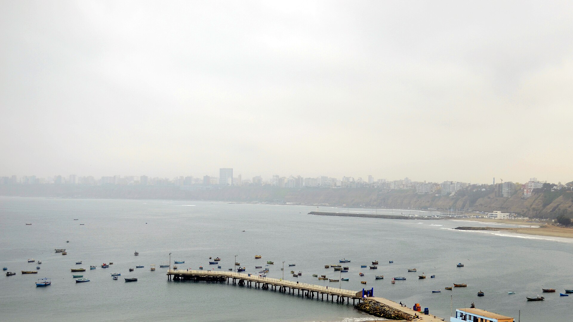
Lima spreads along the Pacific coast and is best understood as several distant visitor clusters. The historic centre lies inland around Plaza Mayor; Miraflores and Barranco form the principal coastal corridor; San Isidro sits between the centre and the coast; and archaeological sites appear across the metropolitan area. Keep the historic centre, coastal districts and outlying ruins in separate blocks because traffic can make cross-city travel slow.
Ranked by importance — sitelinks, pageviews and heritage status, not editor preference.
66 places match
Category
Typical visit duration
Interests
Source: OpenStreetMap contributors, Wikidata ·
The historic centre groups Plaza Mayor, churches, convents and civic buildings. Miraflores combines clifftop parks, commercial streets and Huaca Pucllana, while Barranco continues south with galleries, historic houses and the Bridge of Sighs. San Isidro has another archaeological and business cluster. Callao and distant huacas require additional travel. The official Lima guide presents these areas as distinct routes rather than one continuous old town.
Checked 2026-08-26
Metropolitan buses, the Metropolitano corridor, Metro services and taxis connect Lima's districts, but journey times vary with traffic. Walk within the historic centre, Miraflores or Barranco, then use planned transport between clusters. Airport and Callao journeys need additional time and a confirmed route. Use authorised services and verify current transport information locally; a place that looks nearby on a metropolitan map may still involve a long road journey.
Checked 2026-08-26
the historic centre, Miraflores, Barranco and San Isidro are separate visitor clusters
No fixed stay length is recorded; add blocks for central, coastal and outlying visits.
Use public transport or an authorised taxi between the centre and coast, allowing for traffic.
Miraflores and Barranco form the most natural coastal pairing for one day.
No official best-month range is recorded; check current local conditions before travel.
Set your days, your pace and the hours you actually want to be out. The planner works around closing days and travel time, and leaves room to eat.