Waiheke Island
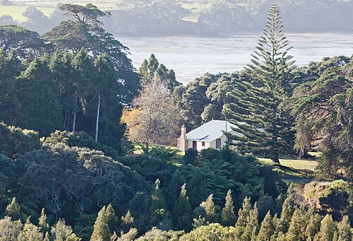
Waiheke Island is a large island in the Hauraki Gulf of New Zealand, located approximately 35 minutes by ferry from downtown Auckland. It is the second-largest island in the gulf after Great Barrier Island.
- Must see
- Nature site
Language · 11 published
City guide · New Zealand
Auckland is organised by two harbours, volcanic terrain and a narrow urban isthmus. The city centre descends to the Waitematā waterfront, while Ponsonby, Parnell and Newmarket sit on separate ridges. Devonport and the harbour islands require water crossings, and the west-coast beaches lie beyond the central public-transport pattern. A useful visit therefore alternates compact neighbourhood walks with planned outward journeys.
Reviewed by Elena Voss · SSMTour Travel Editor
Set your days, your pace and the hours you actually want to be out. The planner works around closing days and travel time, and leaves room to eat.
Ranked by importance — sitelinks, pageviews and heritage status, not editor preference.
Waiheke Island is a large island in the Hauraki Gulf of New Zealand, located approximately 35 minutes by ferry from downtown Auckland. It is the second-largest island in the gulf after Great Barrier Island.
Rangitoto Island is a volcanic island in the Hauraki Gulf near Auckland, New Zealand.
Piha
Piha is a coastal settlement on Auckland's western coast, located within the Waitākere Ranges. It features a black sand beach renowned for its dramatic natural scenery, including the prominent volcanic peak Lion Rock rising from the shoreline.
Pukekawa / Auckland Domain
Pukekawa / Auckland Domain is Auckland’s central historic park. The principal reason to include it is open lawns, planted gardens, paths, and the wider museum precinct.
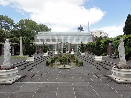
The Auckland Domain Wintergardens is a heritage glasshouse complex situated within Auckland Domain, the city's oldest park. Established in the early twentieth century, the Wintergardens comprise two main display houses and an adjoining courtyard area.
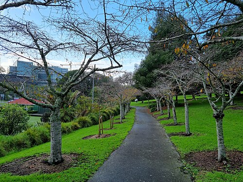
Albert Park is a landscaped central-city park. The principal reason to include it is lawns, mature planting, paths, memorial features, and city-centre views. Its setting is between the university precinct and central Auckland.
Cheltenham Beach is a sandy beach located on Auckland's North Shore, within the Devonport area. It sits on the northern side of the Waitematā Harbour, offering views across the water toward Rangitoto Island.
Takapuna Beach is a sandy coastal area on Auckland's North Shore, facing the Hauraki Gulf. It serves as a recreational beach for swimming, walking, and general leisure activities.
Western Springs Lakeside Park
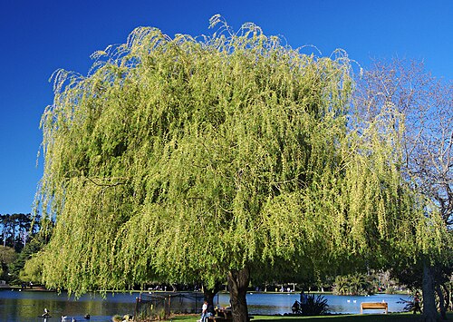
Western Springs Lakeside Park is a public park in Auckland, New Zealand, centred on a natural spring-fed lake.
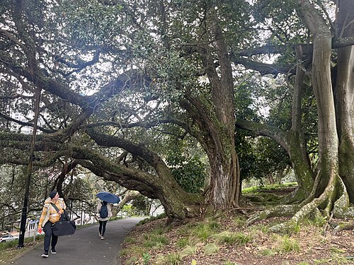
Cornwall Park is a large public park surrounding the lower slopes of Maungakiekie. The principal reason to include it is lawns, mature trees, walking routes, and changing views toward the volcanic cone.
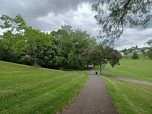
Grey Lynn Park is a public park in the Grey Lynn suburb of Auckland, New Zealand. It is maintained by Auckland Council and listed on the council's official parks directory.
Silo Park is a public waterfront space in Auckland's Wynyard Quarter, developed around repurposed industrial silos that lend the area its distinctive character.
Karekare Beach is a wild black-sand beach on Auckland's west coast, located approximately 35 kilometres from the city centre. It sits within the Waitākere Ranges and forms part of the broader Te Henga coastal area.
Maungatauhoro / Wenderholm Regional Park
Wenderholm Regional Park is a regional park situated north of Auckland on a peninsula where the Puhoi and Waiwera rivers meet the Hauraki Gulf. The park encompasses coastal forest, estuarine environments, and sandy beaches.
Te Oneroa ō Kahu / Long Bay Regional Park
Long Bay Regional Park is a coastal regional park on Auckland's North Shore, managed by Auckland Council. The park encompasses a long sandy beach, headlands, and surrounding native bush.
Duder Regional Park is a coastal regional park located on the Whakakaiwhara Peninsula in east Auckland. The park encompasses a working farm landscape with pastoral land, native bush remnants, and significant coastline along the Hauraki Gulf.
Āwhitu Regional Park is a regional park managed by Auckland Council, situated on the Āwhitu Peninsula southwest of central Auckland. The park encompasses coastal landscapes, native bush, and farmland across a significant peninsula area.
Tāwharanui Regional Park
Tāwharanui Regional Park is a coastal regional park managed by Auckland Council, situated on the Tāwharanui Peninsula northeast of Auckland city. The park encompasses beaches, farmland, and regenerating native bush.
Scandrett Regional Park is a coastal regional park on the northeastern coast of the Auckland region, New Zealand. The park encompasses a historic farm settlement, native bush, and shoreline along Kawau Bay.
Waiwera Beach is a coastal stop north of Auckland, beside the small settlement of Waiwera and close to the area’s long association with geothermal bathing.
Orewa Beach is a long east-facing beach on Auckland’s Hibiscus Coast, around forty kilometres north of the central city.
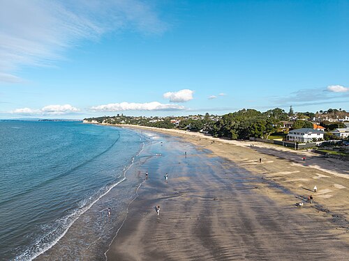
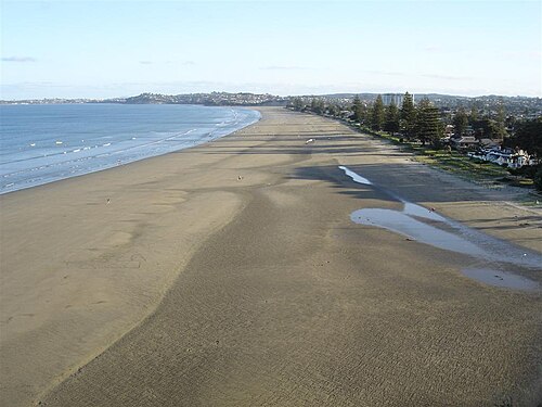
Onetangi Beach is a coastal destination on Waiheke Island, part of the Auckland region. The beach stretches along the northern coast of the island, facing the Hauraki Gulf.
Source: OpenStreetMap contributors, Wikidata ·
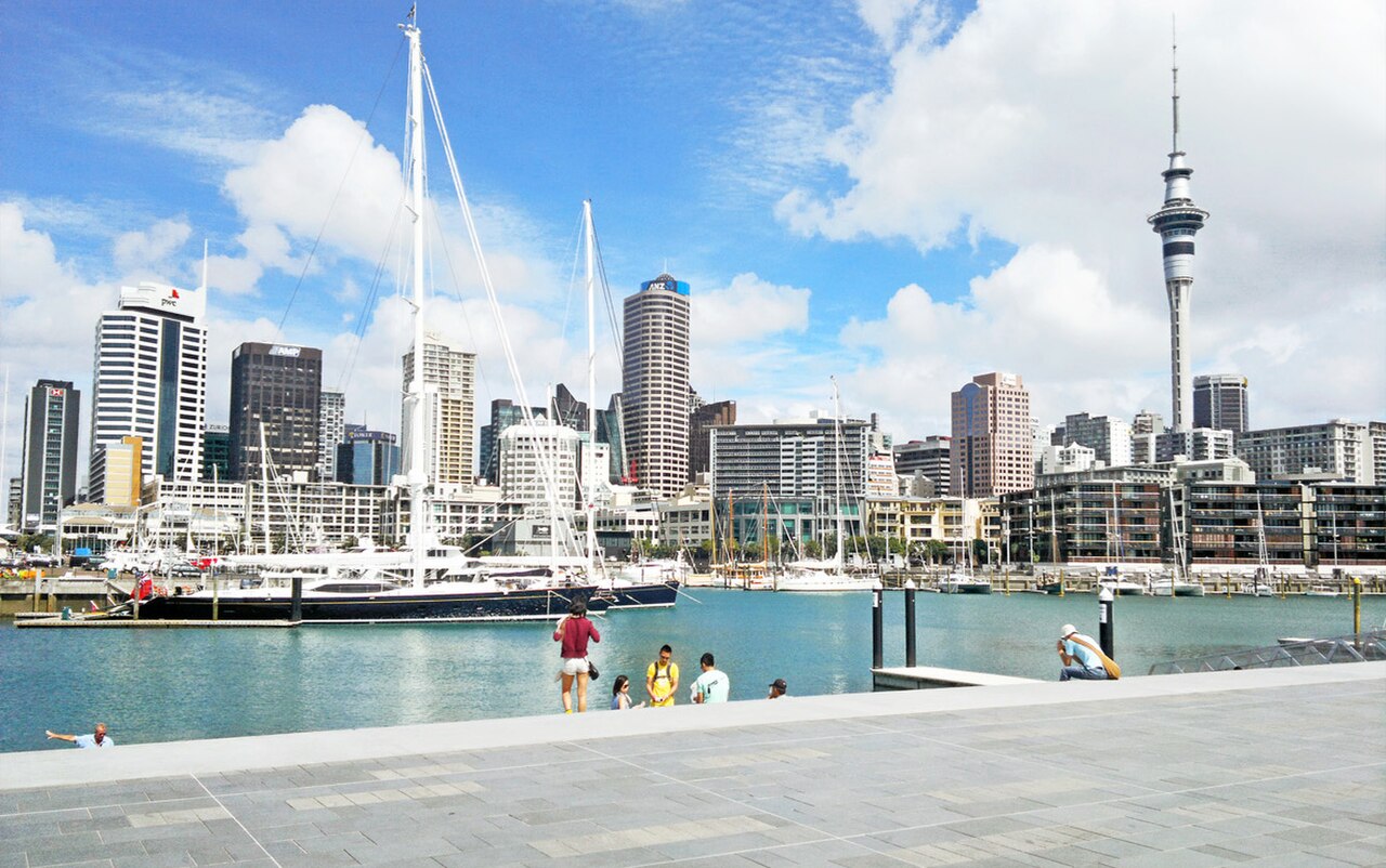
Combine the central waterfront, Britomart and nearby city sights before climbing into an inner neighbourhood. Put Devonport or another harbour destination into a ferry-led block whose return sailing is known in advance. Western beaches need a dedicated excursion and should not share a day with island travel. This structure avoids repeatedly crossing the city and makes Auckland's geography part of the plan rather than an afterthought.
Checked 2026-08-26
Auckland's centre is walkable but steep in places. Buses and trains connect the urban isthmus, while ferries are part of the everyday network for Devonport and selected islands. Match the mode to the geography: rail or bus for inland corridors, ferry for harbour crossings, and a separately checked connection for western landscapes. Consult Auckland's official visitor transport guidance and current operator timetables before departure.
Checked 2026-08-26
No official city-wide duration is recorded. Begin with the centre and Waitematā waterfront, then add an inner neighbourhood, a ferry destination or a west-coast outing according to the days available.
Plan the waterfront and central streets together. Use separate blocks for ridge-top neighbourhoods and for any harbour island, because ferry timing changes the shape of that day. Keep the west coast independent from both.
Walk in the centre, use buses or trains along the isthmus and take ferries for harbour destinations. Check the official journey information for the exact sailing or connection rather than treating every Auckland trip as a road journey.
The centre and waterfront join naturally on foot, although the climb to surrounding ridges is noticeable. Devonport, the islands, outer suburbs and western beaches all require transport beyond a central walking circuit.
Harbour islands and west-coast beaches need separate planning. Confirm ferry returns for island visits and the full outward-and-back connection for regional landscapes before committing the day.