8 min walk
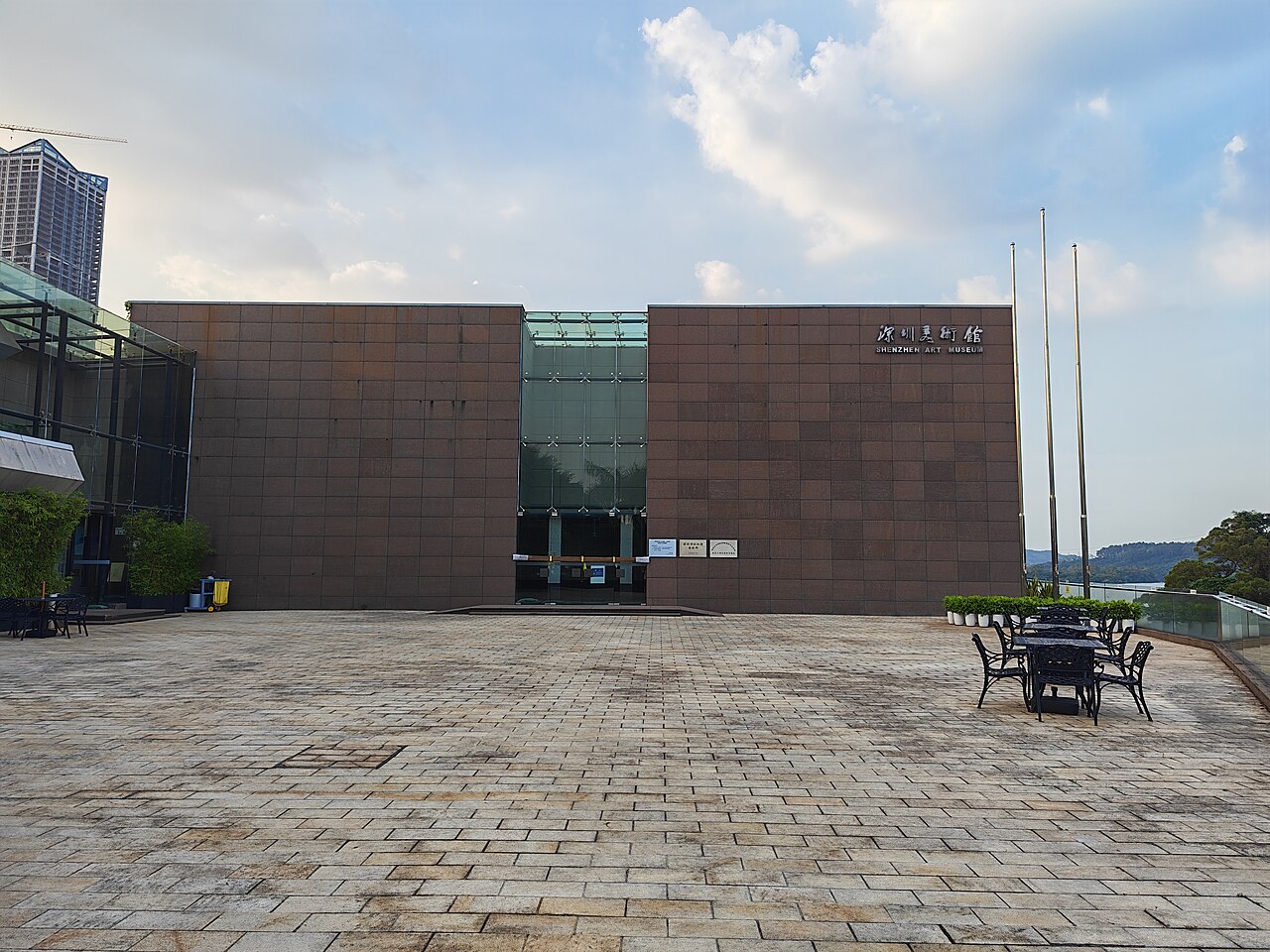
Shenzhen Art Meseum
- Must see
- Museum
Language · 11 published
Art and culture venue · Shenzhen
深圳水库
Shenzhen Reservoir, known locally as 深圳水库, is a major water-storage facility in Shenzhen, Guangdong. It forms part of the city’s wider natural and urban landscape and gives travelers a chance to see the relationship between a fast-growing metropolis and the infrastructure that supports it. The reservoir is most appealing for scenery, waterside views, and an outdoor change of pace, not for a conventional amusement or museum visit. Shenzhen Reservoir is a major water storage facility serving the city of Shenzhen in Guangdong Province, China. Constructed to support the region's water supply needs, it represents significant hydraulic engineering within the Pearl River Delta. The reservoir sits within Shenzhen's broader urban and natural landscape, contributing to municipal water security. Its local name is 深圳水库. As infrastructure with recreational proximity, it draws visitors interested in waterfront scenery and understanding urban water management in one of China's fastest-growing megacities. Municipal water infrastructure in China varies between restricted operational zones and partially accessible areas.
Checked 2026-08-26 · Source
The central feature is the reservoir’s broad water body, bordered by embankments, access roads, vegetation, and the hillside terrain characteristic of Shenzhen. Travelers may see elements of hydraulic infrastructure alongside natural scenery. The surroundings are better understood as a landscape and civic-infrastructure setting than as a compact attraction with a fixed sequence. Stay within public areas and treat operational structures, barriers, and controlled sections as part of the site’s character. The reservoir contains the impounded water body itself, with surrounding embankments and access roads typical of large-scale water infrastructure. Vegetation and watershed areas border the storage zone. Visitors may observe standard hydraulic structures including dam infrastructure and spillway elements. The surrounding district includes urban development and natural hillside terrain characteristic of Shenzhen's topography.
Checked 2026-08-26 · Source
A brief viewpoint stop can take thirty minutes to an hour. Travelers combining the reservoir with walking through nearby public outdoor areas can make it a half-day activity. The scale of the water body means that seeing every edge is not a realistic short visit. Choose one accessible area, enjoy the landscape, and avoid turning the outing into an attempt to enter restricted infrastructure. Your planned time should match the access available on the day. A complete visit duration depends entirely on individual purpose and permitted access zones.
Checked 2026-08-26 · Source
Autumn through spring generally offers more comfortable conditions for outdoor time in Shenzhen, with milder temperatures than summer. July through September can bring typhoon-related rain and wind, while summer thunderstorms may interrupt an exposed waterside visit. Cooler, clearer periods are especially useful for landscape photography and walking. Choose a day when you can comfortably remain outdoors, and allow the weather to determine how long you stay around the water.
Checked 2026-08-26 · Source
Shenzhen Reservoir is municipal water infrastructure, so access may differ between peripheral public spaces and operational areas. Travelers should plan around the possibility that some sections are controlled or unsuitable for ordinary sightseeing. Do not build the day around entering the dam, spillway, or other working structures. The most useful visit is a respectful look at the accessible landscape, with time kept flexible for barriers, security arrangements, and changing public routes.
Checked 2026-08-26 · Source
The reservoir lies in northeastern Shenzhen and can be approached through the city’s metro, bus, taxi, and ride-hailing network. Local navigation is easier when you search for 深圳水库, the Chinese name. Because access roads and public entry points can differ around utility infrastructure, plan the final walk conservatively and remain in public areas. Cycling may suit travelers already nearby, but the route should be chosen for safety and permitted access.
Checked 2026-08-26 · Source
Water infrastructure requires serious caution. Steep banks, changing surfaces, deep water, and barriers can make the shoreline dangerous, and swimming is not an appropriate activity. Follow every posted restriction and stay away from operational zones. Shenzhen’s heat, humidity, sun, thunderstorms, and mosquitoes can affect outdoor comfort, so carry water and sun protection. Keep children close to the water’s edge and leave immediately if weather or access conditions worsen.
Checked 2026-08-26 · Source
The reservoir’s water, hills, sky, embankments, and infrastructure create strong subjects for wide landscape compositions. Morning and evening light can bring softer contrast and reflections. Keep tripods within public spaces and avoid photographing controlled facilities in a way that attracts security concern. Drone flights near water infrastructure should be treated as restricted unless formally authorized. A phone or handheld camera is enough to capture the scale and atmosphere of the reservoir.
Checked 2026-08-26 · Source
It is a major municipal water-storage facility in Shenzhen, surrounded by water, embankments, vegetation, access roads, and hillside scenery.
Allow thirty minutes to an hour for a brief scenic stop, or up to half a day when combining it with nearby outdoor walking.
No. A municipal reservoir is not a suitable swimming place because of deep water, steep banks, infrastructure, and water-safety risks.
Search for 深圳水库, the local Chinese name for Shenzhen Reservoir, when planning a route or arranging a taxi.
Autumn through spring generally provide more comfortable outdoor conditions, while summer can bring heat, thunderstorms, and typhoon-related weather.
Water, hills, sky, embankments, vegetation, and hydraulic infrastructure provide the main landscape subjects from accessible public areas.
Loading the interactive map…
The interactive map could not be loaded.

Last updated:
Source: OpenStreetMap contributors ·