

.jpg)
.jpg)


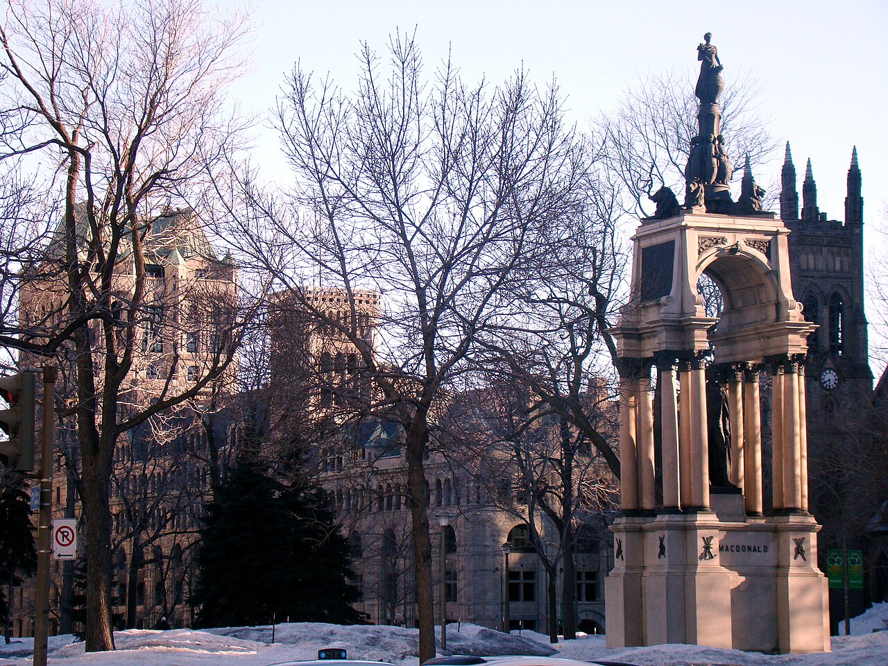
4 min walk
Place du Canada
- Must see
- Nature site
Language · 11 published
Market · Montreal
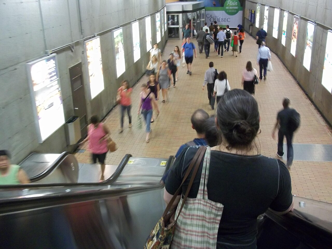
RESO, commonly called Montreal's Underground City, is an extensive network of interconnected indoor pedestrian passages beneath downtown Montreal. It links shopping centres, metro stations, office buildings, hotels, and other facilities across multiple levels. The network developed organically over decades rather than as a single planned project, evolving alongside Montreal's metro system and commercial development. It serves as a vital circulation system for residents and visitors, particularly during harsh winter conditions when above-ground walking becomes impractical. Underground City also earns time in a montreal itinerary because Montreal's extensive connected indoor pedestrian network, central to winter and rainy-day navigation. Its value becomes clearer when the stop is compared with the surrounding streets and the other ranked places nearby.
Checked 2026-08-26
The network contains numerous shopping complexes, food courts, retail stores, and service providers distributed across its length. Major components include Eaton Centre, Place Ville-Marie, and Complexe Desjardins among other commercial nodes. Metro stations form critical connection points throughout the system. Some sections contain cultural venues, cinemas, and access to performing arts facilities. The architectural character varies considerably between sections, reflecting different eras of construction and design approaches. Not all passages maintain uniform standards of maintenance or commercial activity.
Checked 2026-08-26

The total extent of connected pedestrian walkways spans considerable distance across Montreal's central core, though precise measurements of accessible public corridor length are Not recorded. Walking from one extremity to another requires substantial time, with most visitors traversing only relevant portions for their specific destinations. The network operates on multiple vertical levels in certain zones, adding complexity to navigation. Signage quality varies, and visitors should allow additional time for orientation. Through-routes are not always intuitive without familiarity. A flexible visit lets travellers connect Underground City with the rest of the day without treating one room, viewpoint or photograph as the whole experience. The useful pace depends on personal interest and conditions on arrival.
Checked 2026-08-26
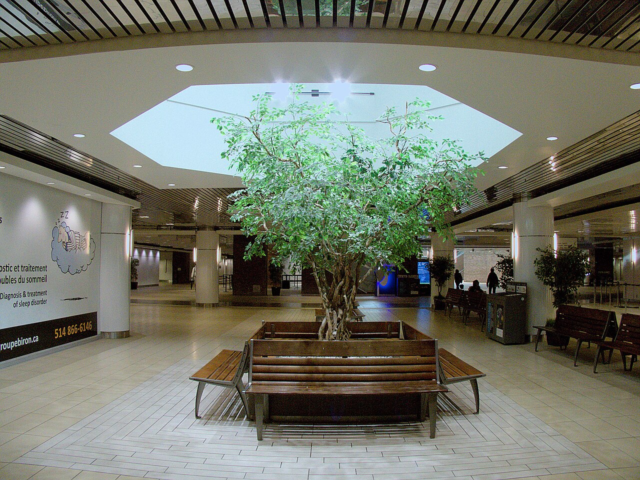
The Underground City functions as a transportation and commercial network rather than a conventional attraction with defined visiting hours. Individual components maintain independent operating schedules. Retail establishments typically follow standard commercial hours, though specific times are Not recorded pending review. The network proves most valuable during Montreal's cold winter months and inclement weather periods when above-ground pedestrian movement is uncomfortable or hazardous. Late evening accessibility depends on which specific sections and connecting services remain operational. Operator-confirmed hours are Not recorded pending review.
Checked 2026-08-26
No general admission fee exists for accessing the pedestrian network itself, as RESO functions as public circulation space connecting privately managed properties. Individual attractions, cinemas, or special venues within the network may charge separate admission. Commercial establishments set their own pricing. Metro fare applies when using STM stations as transit rather than mere passage. Specific prices for any services or potential combined access arrangements are Not recorded pending review. Visitors should verify current costs directly with individual venues. Operator-confirmed prices are Not recorded pending review.
Checked 2026-08-26
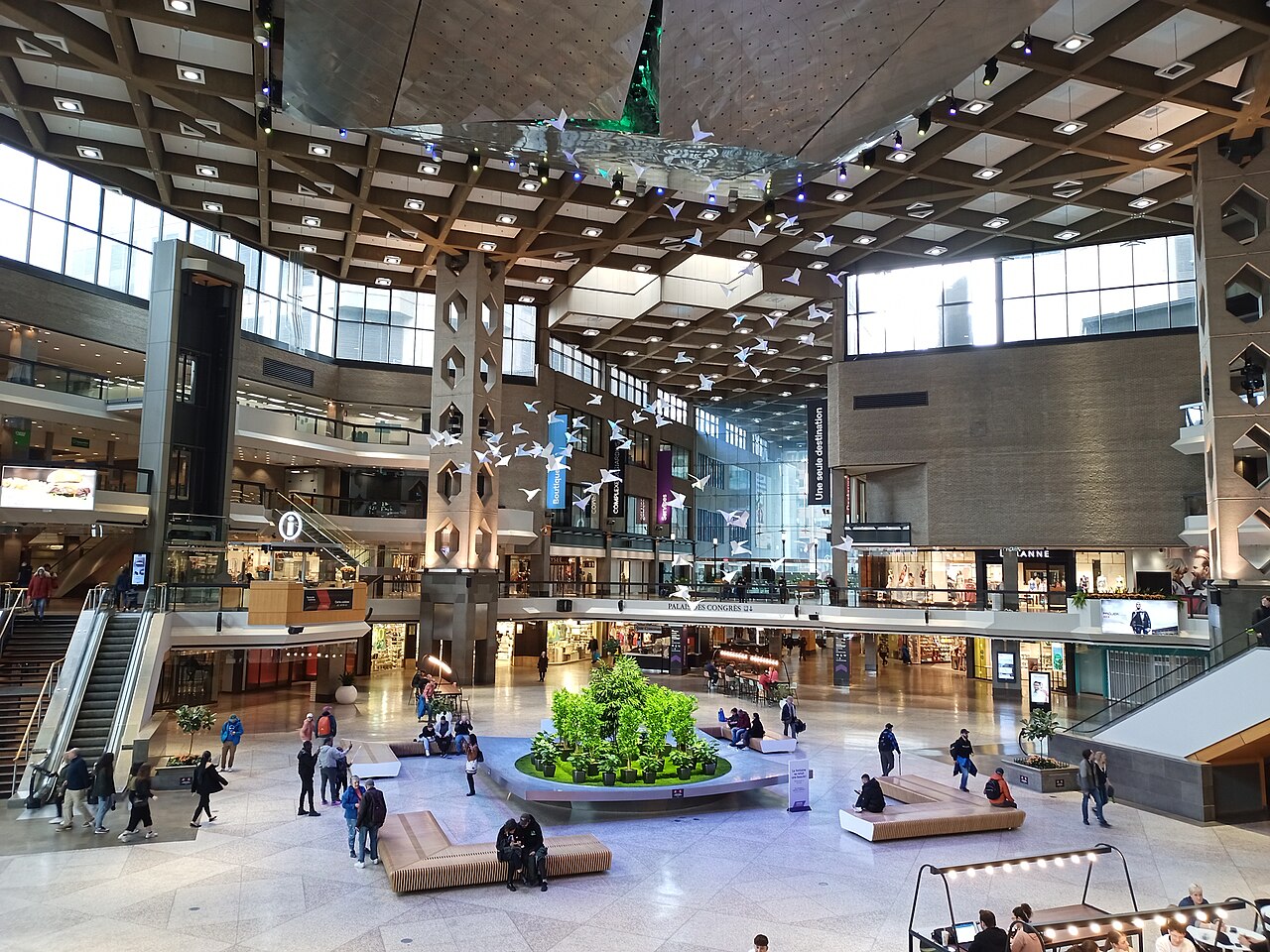
Multiple Montreal metro stations provide direct access to the Underground City network, including stations on the Orange, Green, and Yellow lines. Major entry points connect to Central Station for commuter and intercity rail services. Bus terminals and some hotel lobbies offer additional access. Surface street entrances appear at numerous downtown locations, though these may be less obvious to unfamiliar visitors. The network's distributed nature means no single arrival point serves all destinations. Pedestrian connections extend toward Old Montreal in certain directions.
Checked 2026-08-26
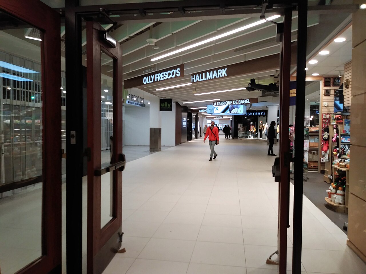
Navigation challenges affect many first-time visitors due to inconsistent signage, multiple levels, and the network's organic development. Some peripheral passages may feel isolated, particularly during low-traffic periods. Maintenance standards vary between sections managed by different entities. Certain corridors close during night hours or for private events without universal notification. Winter brings heavy usage that can create congested conditions. Visitors should maintain awareness of their route, as emergency exits and direct surface access points are not always immediately visible. Personal security awareness applies as in any large urban environment.
Checked 2026-08-26

Photography policies differ across the Underground City since multiple private management entities control various sections. Shopping centres and commercial galleries typically permit casual photography for personal use while restricting professional or commercial filming. Metro station platforms fall under STM regulations. Some retail establishments may object to photography within their premises. Visitors should observe posted restrictions and respect requests from security personnel. The fluorescent and mixed artificial lighting throughout much of the network presents technical challenges for photography. No unified photography policy governs the entire network.
Checked 2026-08-26
Not entirely. While predominantly subterranean, some connected passages occupy above-ground enclosed walkways and building concourses. The network integrates multiple levels and structures rather than existing as a uniform underground system.
Complete traversal is theoretically possible but impractical for most visitors. The network serves functional transportation purposes rather than continuous tourism, with varying character and accessibility across different sections.
No, though they interconnect extensively. The metro provides rapid transit between stations, while RESO encompasses the broader pedestrian network linking buildings and commercial spaces above and between metro levels.
Individual complexes and metro stations display local maps. Comprehensive unified mapping of the entire network is limited. Visitors should consult available directional signage and prepare for some orientation challenges.
Safety conditions vary by section and time. Heavily trafficked commercial corridors differ from peripheral passages. Visitors should exercise standard urban awareness, note that some sections reduce hours, and prefer well-populated routes during late hours.
No unified closure schedule exists. Individual components including shops, transit connections, and building access follow independent schedules. Holiday hours vary across the multiple entities managing different network sections.
Loading the interactive map…
The interactive map could not be loaded.


Last updated:
Source: OpenStreetMap contributors, Wikidata ·