323 min walk
Cleveland Point Reserve
- Notable
- Nature site
Language · 11 published
Nature site · Brisbane
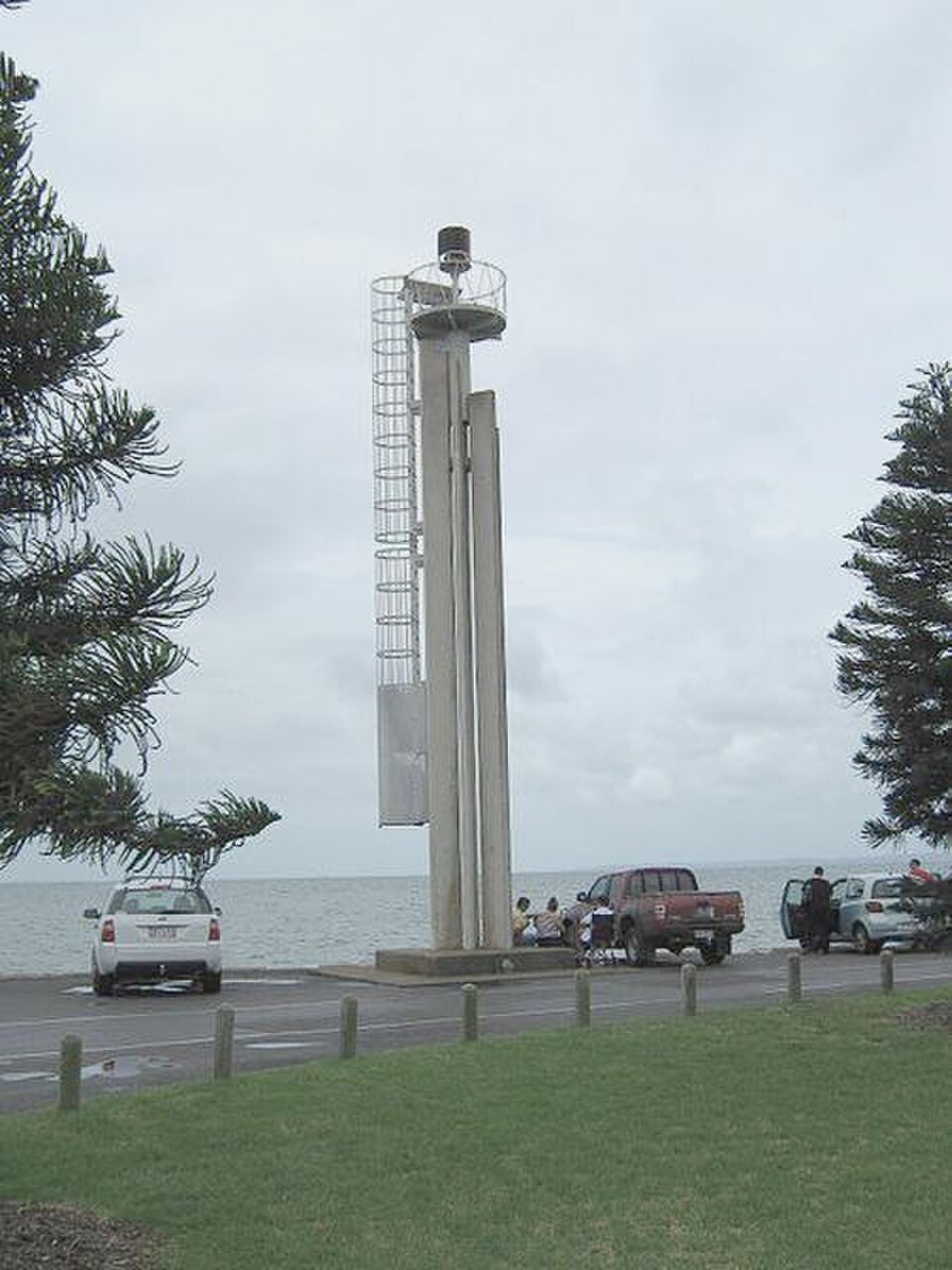
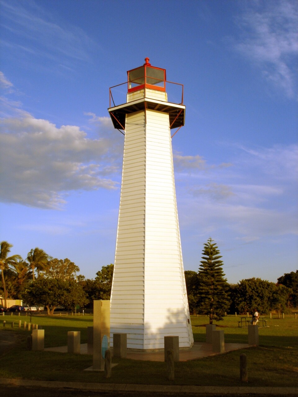
Cylinder Beach is a coastal locality on North Stradbroke Island, part of the Moreton Bay region associated with Brisbane. The beach lies within a recognised natural coastal environment that forms part of the broader Stradbroke Island landscape. The area is known for its surf conditions and camping facilities. The name derives from the cylindrical shape of a former breakwater structure. The beach represents one of several coastal recreation areas accessible from the Brisbane metropolitan area, offering visitors exposure to open-ocean conditions distinct from the calmer western shores of the island.
Checked 2026-08-26
The beach environment comprises sandy shoreline, surf zone, and adjacent coastal vegetation. Camping grounds operate in the vicinity, providing basic accommodation infrastructure for visitors. The surrounding area includes natural coastal scrub and dune systems typical of the region's ecology. No built attractions or commercial facilities are recorded within the immediate beach precinct. Visitors should expect an undeveloped coastal setting with natural features as the primary offering. The area forms part of the broader North Stradbroke Island landscape, which includes multiple beach localities and conservation zones managed under various tenures.
Checked 2026-08-26
Visitor duration depends on activity selection. Day-trippers from Brisbane typically allocate a full day accounting for ferry transit to North Stradbroke Island and road travel to the eastern coast. Those utilising camping facilities may stay multiple nights. Beach activities including swimming, surfing, and walking occupy variable periods. The ferry crossing from mainland terminals requires approximately forty-five minutes to one hour each direction, with additional driving time across the island. Visitors should incorporate transit buffers into planning, particularly regarding return ferry scheduling and island road conditions.
Checked 2026-08-26
Operator-confirmed hours are Not recorded pending review. Visitors should independently verify seasonal access conditions and any camping ground operational periods before travel. Coastal conditions vary significantly across seasons, with summer months typically offering warmer water temperatures and winter presenting cooler conditions with potentially larger surf. The subtropical climate of the region produces rainfall throughout the year, with summer afternoon storms possible. Personal research into current weather forecasts, marine conditions, and any fire danger or access restrictions is essential prior to departure from the mainland. Cylinder Beach also earns time in a brisbane itinerary because Cylinder Beach is included in the curated metropolitan visitor ranking from the shared fact pack. Production has no city POI pool, so no identity or coordinate is inferred. Its value becomes clearer when the stop is compared with the surrounding streets and the other ranked places nearby.
Checked 2026-08-26
Operator-confirmed prices are Not recorded pending review. Costs potentially applicable include ferry fares for vehicle and passenger transport to North Stradbroke Island, camping fees if utilising designated grounds, and any applicable national park or vehicle access permits. Payment methods and exact fee structures require direct verification with ferry operators, camping administrators, and relevant management authorities. Visitors should not rely on assumed pricing and must confirm all costs immediately before travel. Budget contingency for transport fuel, provisions, and emergency expenses remains prudent given the island's limited commercial services.
Checked 2026-08-26
Access requires ferry transport from Brisbane-area terminals to North Stradbroke Island, followed by road travel to the eastern coast. Vehicle ferries operate from Cleveland to Dunwich, with connecting roads crossing the island to Point Lookout and Cylinder Beach vicinity. Public transport options on the island are limited; private vehicle or arranged transfer is typically necessary. Visitors without vehicles should investigate shuttle or taxi services from Dunwich. Road conditions include unsealed sections in places. Ferry bookings are strongly recommended, particularly during peak demand periods and weekends.
Checked 2026-08-26
Open-ocean surf presents inherent risks including rips, currents, and variable wave conditions; swimming only within patrolled areas and between flags is essential when lifesaving services operate. Marine stingers may be present seasonally. Sun exposure requires protection given Queensland's high ultraviolet levels. Limited emergency services and medical facilities on the island necessitate self-sufficiency and conservative risk assessment. Mobile telephone coverage may be intermittent. Visitors should carry adequate water, food, and first aid supplies. Inform others of travel plans and expected return times when visiting remote coastal areas.
Checked 2026-08-26
The beach offers natural coastal scenery including shoreline, surf, and dune vegetation as primary subjects. Sunrise and sunset positioning relative to the eastern orientation should inform timing expectations. Weather conditions significantly affect visual outcomes, with clear skies producing different effects from overcast or stormy systems. Tide states alter the accessible beach width and wave interaction patterns. Drone operation requires compliance with aviation regulations and any local restrictions. Respect for other visitors and natural environments should guide positioning and behaviour. Equipment protection from sand, salt spray, and moisture remains necessary in coastal conditions.
Checked 2026-08-26
Patrol status is Not recorded. Visitors must independently verify current lifesaving arrangements and should not assume rescue services are present.
Specific camping ground locations and booking requirements are Not recorded. Visitors must confirm designated camping areas and obtain necessary permits from managing authorities.
Standard vehicle access is Not recorded. Road conditions and vehicle requirements should be confirmed with island transport providers and relevant management authorities before travel.
Commercial facilities at the immediate beach location are Not recorded. Visitors should provision adequately on the mainland or confirm available services elsewhere on the island.
Swimming safety conditions vary. Marine hazards, seasonal factors, and absence of patrols may affect risk levels. Visitors should assess conditions personally and seek local advice upon arrival.
Day visitation is feasible with early departure and ferry scheduling coordination. Transit time requirements must be factored into planning, with return ferry times strictly observed.
Loading the interactive map…
The interactive map could not be loaded.

Last updated:
Source: OpenStreetMap contributors ·