
01
30 min
Guardian Angel Cathedral
- High
- Place of worship
Language · 1 published
City guide · United States
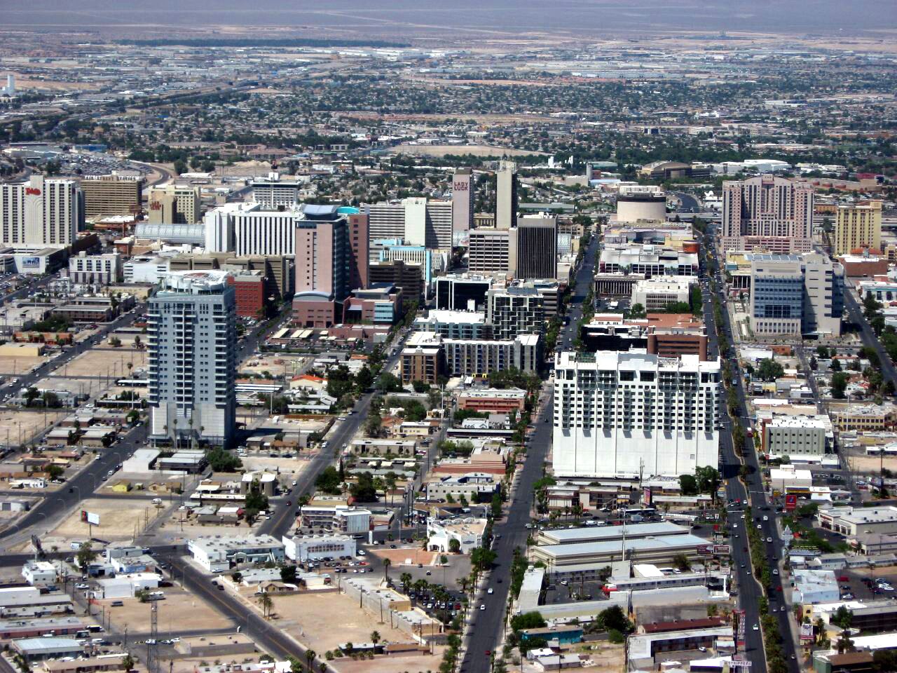
Las Vegas has two principal visitor centres: the long resort corridor on Las Vegas Boulevard and Downtown around Fremont Street. Distances along the Strip are larger than they appear because resort entrances, pedestrian bridges and indoor routes add walking. Buses, the Monorail and selected resort trams connect parts of the corridor, while desert parks require separate transport. Plan by adjacent resort groups rather than by a simple north-south checklist.
Ranked by importance — sitelinks, pageviews and heritage status, not editor preference.
25 places match
Category
Typical visit duration
Source: OpenStreetMap contributors, Wikidata ·
The Strip runs south to north as a sequence of large resort complexes, not a conventional compact street. Downtown lies several miles north around Fremont Street and the civic core. The convention district sits between them, with transport links that differ from the resort trams. Arts District stops fit naturally between Downtown and the north Strip. Red Rock Canyon, Hoover Dam and other desert destinations are regional outings and should never be treated as quick extensions of a walking day.
Checked 2026-08-26
Walk only between neighbouring resort groups, then use the Deuce bus, Monorail or relevant resort tram for longer Strip movement. Official visitor guidance also identifies RTC services, rideshare and the convention-centre Loop among available options. Downtown needs a deliberate connection from the Strip, and airport travel should be planned independently. Desert parks and Hoover Dam require a separate road-based trip; they are not part of the urban transit circuit.
Checked 2026-08-26
Two to three days suit a first visit. Use one day for adjacent Strip clusters, another for Downtown and remaining resorts, and add a third for a separate desert or dam outing.
March through April and October through November are generally more practical for outdoor walking than midsummer. Indoor resorts remain climate-controlled, but transfers and desert trips still expose visitors to the weather.
Only in sections. Resort properties are large, entrances may sit far from the pavement, and pedestrian bridges add distance. Group neighbouring resorts and use transport for longer moves.
The Deuce and other RTC services provide a public transport connection, while rideshare is another option. Downtown is not a short continuation of a Strip walk, so plan the transfer explicitly.
Treat either as a separate road-based outing. They sit outside the urban visitor corridor and do not belong to the same walking or resort-transit plan as the Strip.
Set your days, your pace and the hours you actually want to be out. The planner works around closing days and travel time, and leaves room to eat.