Mount Hiei
比叡山
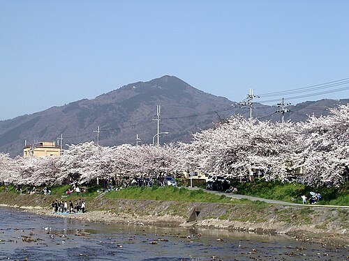
Mount Hiei is a mountain located northeast of Kyoto, Japan, straddling the border between Kyoto Prefecture and Shiga Prefecture. The local name is 比叡山.
- Must see
- Viewpoint
- Kyoto
Language · 11 published
Country guide
Around three quarters of Japan is mountain and forest, which pushes almost everyone onto the eastern coastal plains and makes the country far narrower in practice than 377,975 km2 suggests. Forty-seven prefectures, eight traditional regions and more than 14,000 smaller islands, and yet a first visit usually runs along a single rail corridor with Tokyo at one end and Kyoto and Osaka at the other. Tokyo is the capital and largest city of a country of almost 123 million people. Hokkaido in the north and Okinawa in the south are different climates rather than day trips, and both need their own week.
Every city catalogued in this country so far, ranked by how much there is to see.
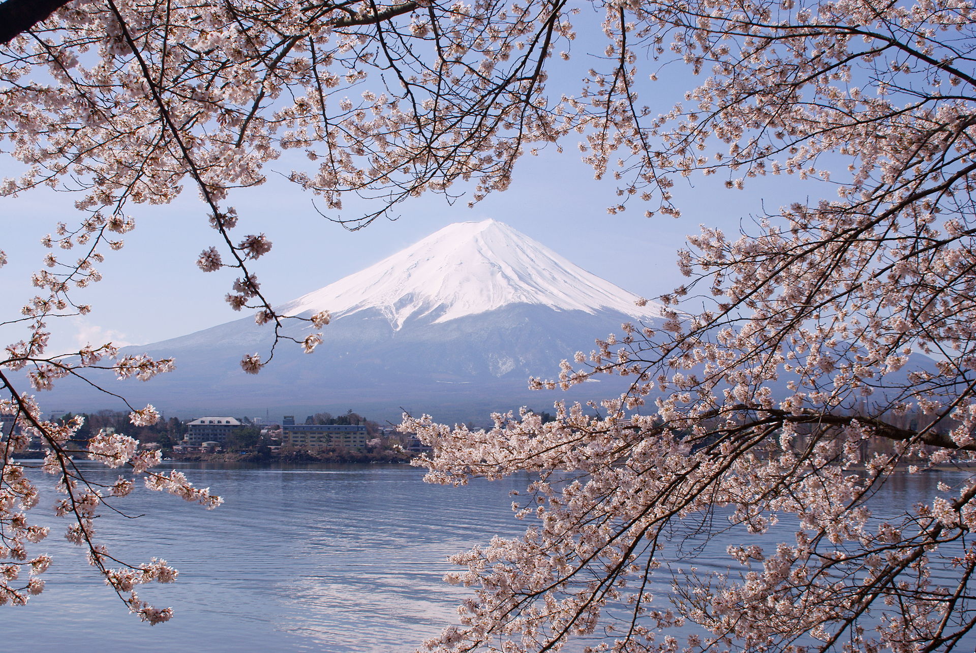
Photograph · Morio · CC BY-SA 3.0
Photograph · Martin Falbisoner · CC BY-SA 4.0
Ranked by importance — sitelinks, pageviews and heritage status, not editor preference.
100 places match
Category
Typical visit duration
比叡山
Mount Hiei is a mountain located northeast of Kyoto, Japan, straddling the border between Kyoto Prefecture and Shiga Prefecture. The local name is 比叡山.
愛宕山
Mount Atago is a mountain in Kyoto, Japan, bearing the local name 愛宕山. The mountain holds religious significance as the site of Atago Shrine, a Shinto shrine dedicated to fire prevention and safe hearth.
鞍馬山
Mount Kurama is a forested mountain in northern Kyoto Prefecture, Japan, known for its association with the Tengu, mythical long-nosed goblins of Japanese folklore.
天保山
天王山
渡月橋
大枝山
桟敷ヶ岳
如意ヶ岳
吉田山
桃山丘陵
愛宕山
箱根山
衣笠山
大岩山
逢坂山
小塩山
音羽山
ポンポン山
小倉山
阿弥陀ヶ峰
朝日山
三国岳
明神ヶ岳
沓掛山
竜ヶ尾山
東京シティビュー
長等山
若山
戸定が丘歴史公園
醍醐山
大文字山
大文字山
釈迦岳
アカマツ尾根
荒川ロックゲート
竹林の道
飛鳥山
粟田山
菖蒲ヶ丘展望台
46階展望スペース
茶臼山
クリスタルビュー
出汐湊
夢の大橋
空中庭園展望台
富士見台
富士見山
玄孫熊山
GINZA SIX ガーデン
権現山
グラウンディングツリー
球体展望室
花サト
東山山頂公園 展望台
聖山
曾孫熊山
北とぴあ
瓢簞崩山
稲荷山
地蔵山
地蔵杉山
鏡山
鎌倉山
神山
かわらけ投げ
川崎マリエン
ケシ山
けやき坂
子熊山
子鹿山
熊山
雲取山北峰
蓮観察ゾーン
Source: OpenStreetMap contributors, Wikidata ·
Ten to fourteen days supports four or five days in Tokyo, three or four in Kyoto, and two or three in Osaka. Add Nara or Himeji only after those bases have enough time, and avoid turning every rail stop into a hotel change.
Japan's visa exemption or visa requirement depends on passport and travel purpose. Confirm the current rule through Japan's Ministry of Foreign Affairs or the embassy responsible for the traveller's residence.
The Tokaido Shinkansen links Tokyo, Kyoto, and Osaka, while local rail and buses cover city travel. An IC card simplifies many local journeys but does not replace every reserved long-distance ticket, and luggage forwarding can reduce friction between bases.
March to May and October to November are broad options for the main-island route, with blossom and autumn periods creating concentrated demand. Confirm regional weather and reservations for the exact cities rather than assuming one national season behaves uniformly.
Japan uses the yen (JPY). Electronic payment is common but not universal, so carry some yen for smaller businesses, ticket machines, or rural transport without assuming that one stored-value card works for every purchase.
Japan's emergency numbers are 110 for police and 119 for fire or ambulance. Type A sockets operate at 100 V, which is lower than in the other wave-A countries, and mains tap water is recorded as safe.