

01
1 hour
London Square
גן לונדון
- High
- Nature site
Language · 11 published
City guide · Israel
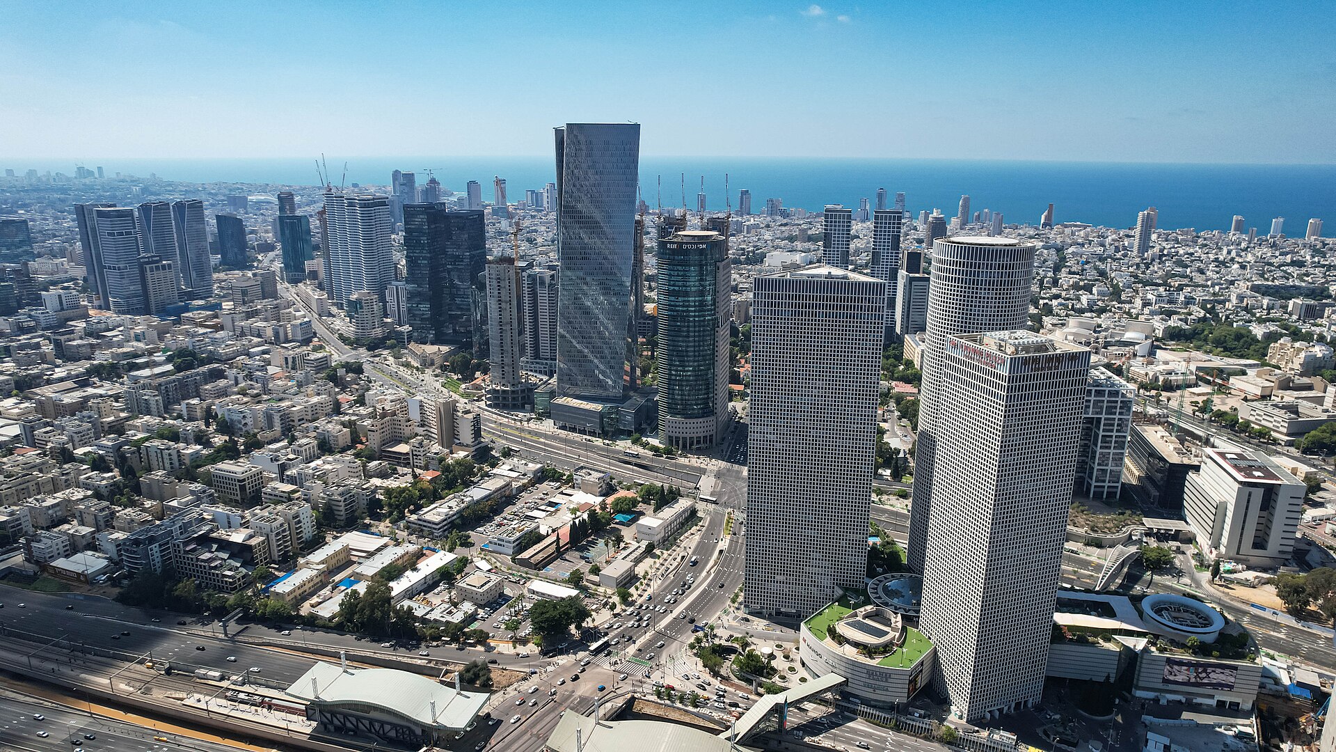
Tel Aviv-Yafo is a long Mediterranean city best understood as connected north-south districts rather than one compact centre. Historic Jaffa and the port sit at the southern end, Neve Tzedek and the market districts lead into the central city, and the beach continues north beside residential and cultural areas. Walking works within each cluster; transit connects the longer gaps.
Set your days, your pace and the hours you actually want to be out. The planner works around closing days and travel time, and leaves room to eat.
Ranked by importance — sitelinks, pageviews and heritage status, not editor preference.
50 places match
Category
Typical visit duration
גן לונדון
ככר מסריק
הפארק הלאומי

גינת דובנוב
פארק אדית וולפסון
גן העצמאות
גן הפסלים ע"ש לולה אבנר
גן מאיר
גן העליה השניה

פארק המסילה
כיכר היל
פארק החורשות
גן המלך דוד
גן הכובשים
גינת השרון
פארק מנחם בגין
גן סוטין
גן שאול
הגנים הבוטניים
גבעת קוזלובסקי
גן אבו נבוט
חוף אביב
גן אברהם
גן הבנים
גן הגת
גן כרונינגן
כיכר השוטר
מדרון יפו
חוף ירושלים
גן הקקטוסים
גן קריית ספר
גני הטבע
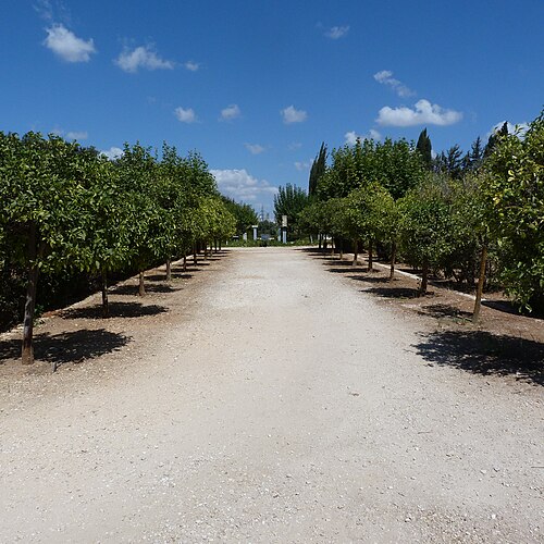
הגן הגזום
ראש ציפור
גינת שינקין
גן חללי הטרור
גן יעקב
גן החרוזים
הגן הטרופי
מצפה עזריאלי
מצפור הצוק
הר הבנים
מצפור שלום
תצפית דרומית
תל גיבורים
תצפית מטרופולינית
גן אברהם
גן אברהם
Source: OpenStreetMap contributors, Wikidata ·
Old Jaffa, Jaffa Port and the flea-market streets form a southern historic cluster. Neve Tzedek and the old railway area lie immediately north, followed by Carmel Market, Rothschild Boulevard and the White City. The main museum and performing-arts institutions sit farther east, while the seafront forms a parallel route. Group visits by these corridors to avoid repeated cross-city journeys.
Checked 2026-08-26
Central Tel Aviv and Jaffa are highly walkable, and cycling can suit the flat seafront and boulevard network. The official city guide lists buses, light rail, trains, taxis, bicycles and scooters as transport options. The Red Line connects parts of Tel Aviv-Yafo with the wider metropolitan area. Check real-time service information because infrastructure work can alter routes and stops.
Checked 2026-08-26
A fixed official stay length is not recorded. Prioritise Jaffa, the central market and boulevard districts, the beach and one museum cluster, then expand according to available time.
Yes within individual districts. The official city guide describes the city as highly walkable, while transit is useful for longer links between Jaffa, central Tel Aviv and northern areas.
Yes. The Red Line serves Tel Aviv-Yafo and the wider metropolitan area, alongside buses and national rail services.
Old Jaffa and Jaffa Port combine naturally, while Neve Tzedek, Carmel Market and Rothschild Boulevard form another practical sequence. Use transit between more distant clusters.
Yes. The official city guide advises using transport apps for current information because infrastructure work can affect routes and stops.