

.jpg)
.jpg)
.jpg)

22 min walk
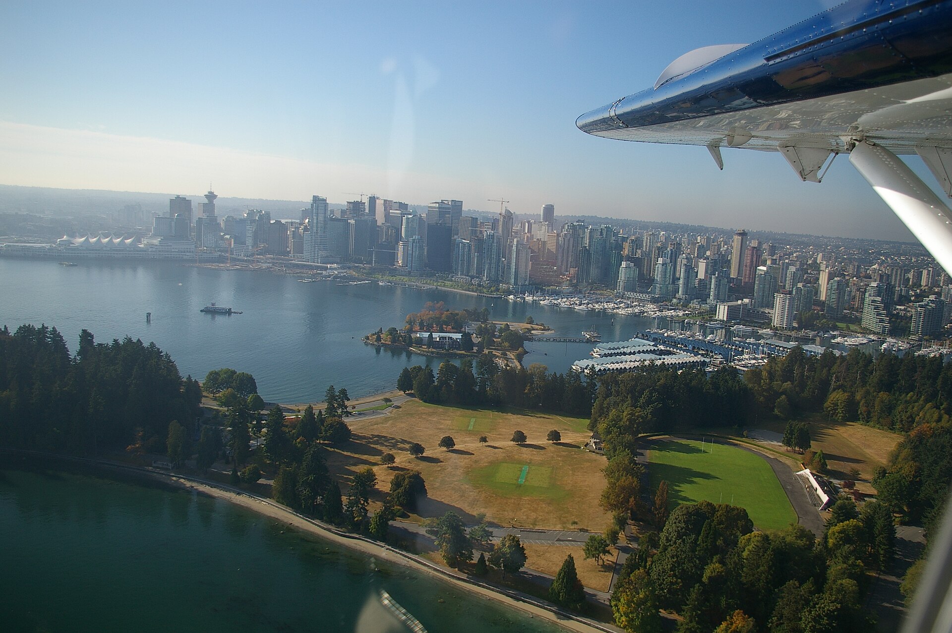
Stanley Park
- Must see · Heritage site
- Nature site
Language · 11 published
Historic monument · Vancouver
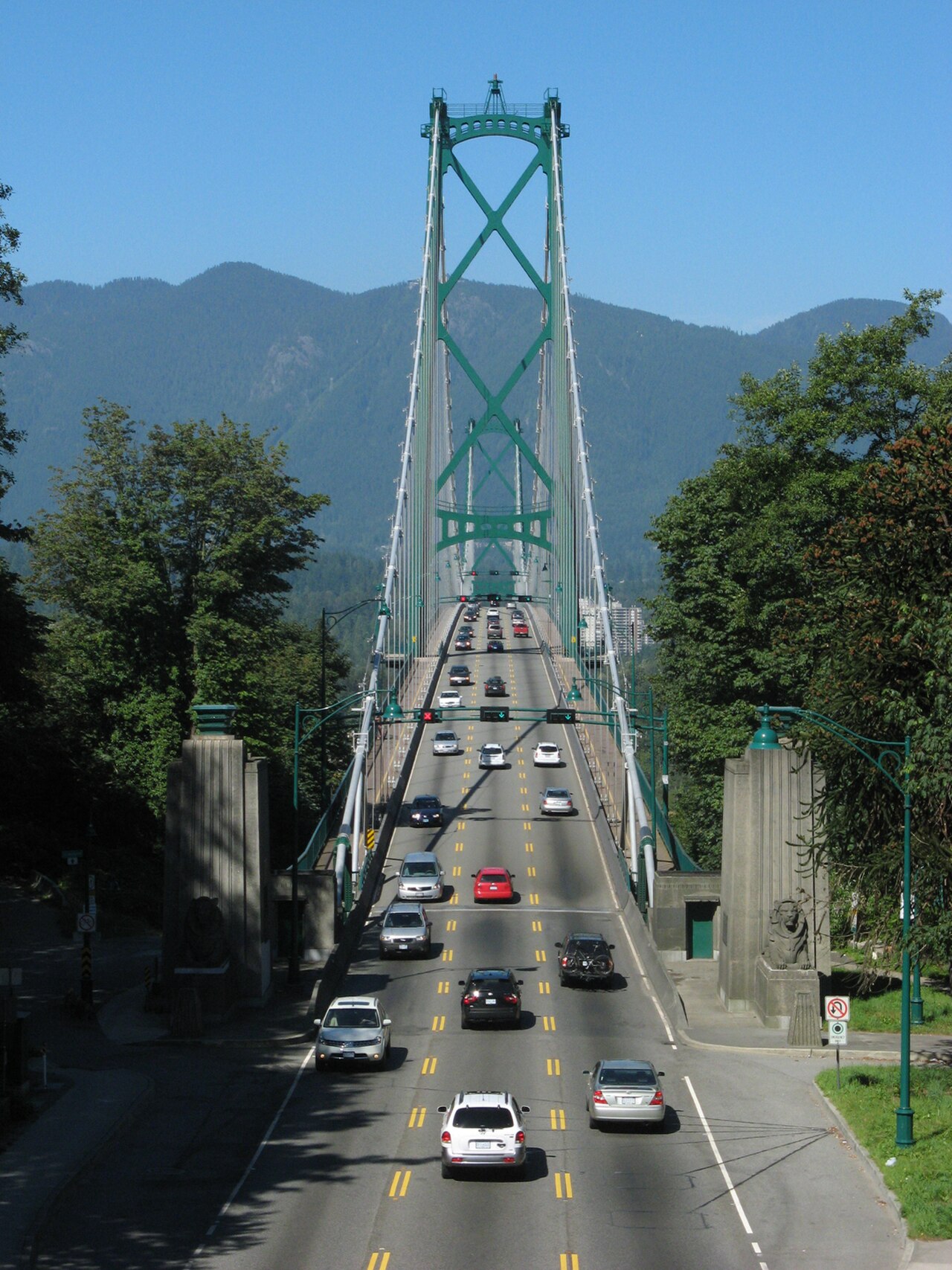
Lions Gate Bridge is a suspension bridge spanning the First Narrows of Burrard Inlet, connecting Stanley Park in downtown Vancouver to the North Shore municipalities. The structure carries three lanes of vehicle traffic plus pedestrian walkways. Opened in 1938, it was financed by the Guinness brewing family and designed by consulting engineers Monsarrat and Pratley. The bridge takes its name from the twin mountain peaks visible to the north, known as The Lions. It remains a vital transportation corridor and one of the most photographed landmarks in British Columbia.
Checked 2026-08-26
The bridge itself contains no interior spaces or visitor facilities. Travelers experience the structure from its road deck and sidewalks. The main suspension span extends between two tall concrete towers, with steel cables supporting the roadway. Pedestrians and cyclists use dedicated walkways on either side of the vehicle lanes, separated by barriers. The bridge offers expansive views of Burrard Inlet, the downtown skyline, Stanley Park, and the North Shore mountains. No interpretive signage, rest areas, or commercial services exist on the bridge deck.
Checked 2026-08-26
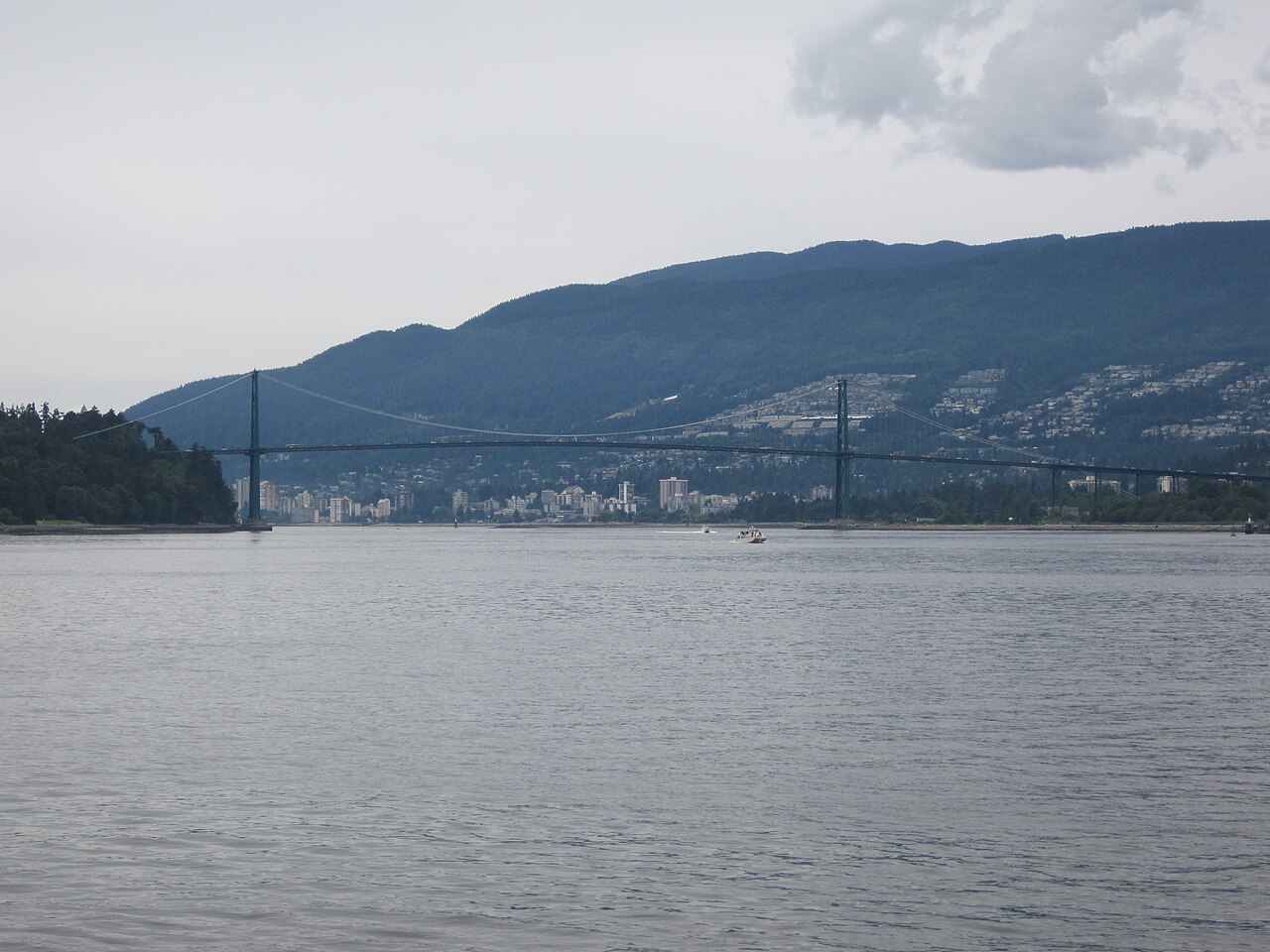
A pedestrian crossing of the bridge typically requires fifteen to twenty-five minutes one way at a moderate pace, depending on fitness level and photography stops. The total length of the bridge structure is approximately 1,823 metres. Visitors often combine the bridge walk with exploration of Stanley Park or the North Shore, making for a half-day excursion. Cycling across is faster, generally taking five to ten minutes. Weather conditions, particularly wind and rain, can significantly affect crossing comfort and duration.
Checked 2026-08-26
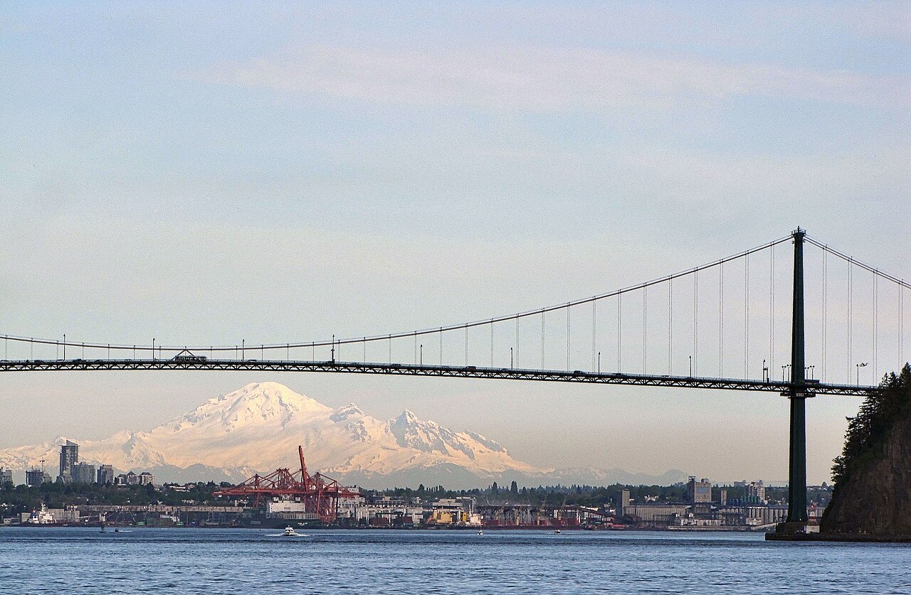
The bridge operates as a public transportation corridor accessible at all hours. Operator-confirmed hours are Not recorded pending review. Pedestrian access depends on weather and personal comfort with potentially windy, exposed conditions. Summer months generally offer the most pleasant walking conditions with longer daylight hours. Winter crossings can be cold and damp. Rush hour periods bring heavy vehicle traffic, which increases noise and vibration on the walkways. Early morning and evening hours provide softer light for photography and reduced congestion.
Checked 2026-08-26
No admission fee is required to walk or cycle across Lions Gate Bridge. Operator-confirmed prices are Not recorded pending review. The bridge functions as a free public thoroughfare. Vehicle tolls were removed in 1963. Visitors should budget only for transportation to access points and any optional activities in surrounding areas such as Stanley Park or North Shore attractions. No ticket booths, turnstiles, or payment systems exist for pedestrian or cyclist entry. Lions Gate Bridge also earns time in a vancouver itinerary because The suspension bridge between Stanley Park and the North Shore is a defining Vancouver landmark and viewpoint; no in-scope production POI exists for an exact match. Its value becomes clearer when the stop is compared with the surrounding streets and the other ranked places nearby.
Checked 2026-08-26

The Stanley Park entrance to the bridge is accessible from the park's seawall and internal roads, reachable by foot, bicycle, or public transit to the park. The North Shore access connects to Marine Drive in West Vancouver and local streets in North Vancouver. Several bus routes serve both ends of the bridge. Cycling from downtown Vancouver via the seawall provides a scenic approach. Parking exists in Stanley Park and at limited spots near North Shore access points, though spaces fill quickly during peak periods.
Checked 2026-08-26

The walkways are narrow and shared between pedestrians and cyclists in designated directions. Cyclists travel at significant speed; pedestrians should remain alert and keep to the appropriate side. The bridge is fully exposed to weather with no shelter from rain, wind, or sun. High winds can make walking difficult and unpleasant. Vehicle traffic generates noise and causes the deck to vibrate. The walkways have protective fencing but the sensation of height may affect those uncomfortable with elevation. Appropriate footwear and layered clothing are advisable.
Checked 2026-08-26

The bridge offers exceptional vantage points for city, mountain, and water photography, though no dedicated observation platforms exist. Popular exterior viewpoints include Prospect Point in Stanley Park and various North Shore locations. From the walkway itself, photographers capture the suspension cables, tower details, and panoramic vistas. Tripod use on the walkway is impractical due to narrow space and vibration. Morning and evening light provide dramatic illumination of the structure and surrounding landscape. Weather dramatically affects image quality; atmospheric conditions can obscure mountain views entirely.
Checked 2026-08-26
Yes, dedicated walkways exist on both sides of the bridge deck for pedestrians and cyclists.
Yes, the bridge carries vehicle traffic with three reversible lanes.
No restroom facilities exist on the bridge structure.
The walkways have ramps at access points, though the narrow width and surface conditions may present challenges.
Periodic maintenance occurs; specific schedules are Not recorded.
No official guided tours of the bridge itself are known to operate.
Loading the interactive map…
The interactive map could not be loaded.

Last updated:
Source: OpenStreetMap contributors, Wikidata ·