Sugarloaf Mountain
Pão de Açúcar
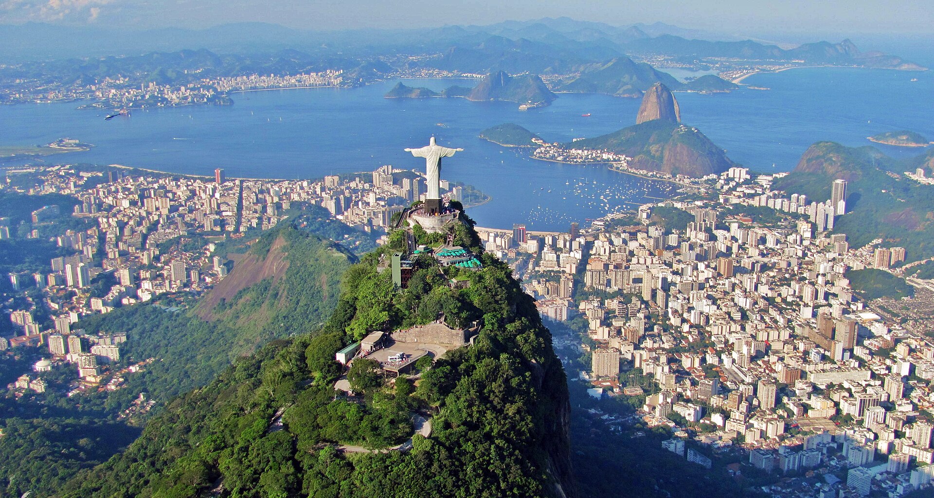
Sugarloaf Mountain, locally known as Pão de Açúcar, is a prominent peak situated on a peninsula at the mouth of Guanabara Bay in Rio de Janeiro, Brazil.
- Must see
- Viewpoint
- Rio de Janeiro
Language · 11 published
Country guide
Brazil is the largest country in South America and the fifth largest on earth, with over 213 million people, 26 states and a Federal District built to hold the capital, Brasília. Its Atlantic coastline runs 7,491 kilometres and it borders every country on the continent except Ecuador and Chile. Most of the Amazon basin is Brazilian, including the world's largest river system and the most extensive virgin tropical forest left standing; the same country also holds wetlands, savanna, plateau and low mountains. São Paulo is the most populous city and Rio de Janeiro the second. The distance between any two of these is the planning problem.
Every city catalogued in this country so far, ranked by how much there is to see.
Photograph · Thomas Hobbs · CC BY-SA 2.0
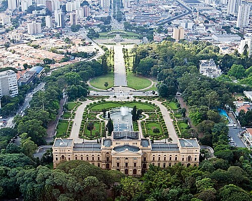
Photograph · Rafael Rabello de Barros · CC BY-SA 3.0
Ranked by importance — sitelinks, pageviews and heritage status, not editor preference.
100 places match
Category
Typical visit duration
Pão de Açúcar
Sugarloaf Mountain, locally known as Pão de Açúcar, is a prominent peak situated on a peninsula at the mouth of Guanabara Bay in Rio de Janeiro, Brazil.
Corcovado is a mountain in Rio de Janeiro, Brazil, famous worldwide for the statue of Christ the Redeemer crowning its summit. The peak rises within Tijuca Forest, a national park setting that frames the monument against dramatic Atlantic rainforest.
Parque da Luz
Parque da Independência
Independence Park, known locally as Parque da Independência, is a monumental public landscape in São Paulo. The park encompasses the historic site where Brazilian independence was proclaimed in 1822.
Praia do Arpoador
Parque do Povo
Praça General Osório
Largo de São Francisco da Prainha
Parque da Vila Guilherme-Trote
Praia do Abricó
Praça Padre José Conceição Meireles
Praça Mário Lago
Praça Franklin Roosevelt
Serra do Vulcão
Jardim de Alah
Recanto Municipal da Árvore - Bosque Maia
Parque Modernista
Praça Dom José Gaspar
Praça Doutor Francisco Ferreira Lopes
Parque Sabesp
Praça Villaboim
Praça Marechal Cordeiro de Farias
Parque Ecológico do Tietê
Praia de Botafogo
Parque Dom Pedro II
Largo São Bento
Largo do Paissandú
Lagoa de Marapendi
Praça Paris
Parque Oeste
Morro do Paraíso
Morro do Outeiro
Alto dos Pretos Forros
Praça Doutor João Mendes
Praia do Itararé
Praça da Liberdade-Japão
Praça Saenz Peña
Parque Linear Tiquatira
Pontal de Sernambetiba
Morro de São João da Mantiqueira
Parque Alfredo Volpi
Source: OpenStreetMap contributors, Wikidata ·
Brazil’s scale makes 10–16 days appropriate for one region rather than a national circuit. Build around a single gateway such as Rio de Janeiro or São Paulo, then add one coherent coastal, nature or cultural extension.
Visa information is maintained by Brazil’s Ministry of Foreign Affairs through its consular portal. Eligibility depends on nationality and visit purpose; use the ministry’s current table instead of relying on a past visa waiver.
São Paulo and Rio de Janeiro handle major international and domestic connections. Flights bridge the country’s long distances, coaches cover many regional corridors, and national passenger rail is not a general substitute for either.
Brazil has no single best month because Amazon, northeast-coast, Pantanal and southern conditions differ. April–June and August–October are broad shoulder periods, but the chosen region’s rainfall and access cycle should decide the dates.
The Brazilian real (BRL) is the unit used for prices. This guide does not record current bank fees or acceptance patterns; check the displayed total and conversion currency before authorising a card or cash transaction.
Brazil separates emergency services: 190 police, 192 ambulance and 193 fire. Type N sockets operate at either 127 or 220 V depending on location, and national tap-water suitability is Not recorded.