
01
30 min
Great Synagogue
- High
- Place of worship
Language · 11 published
City guide · Australia
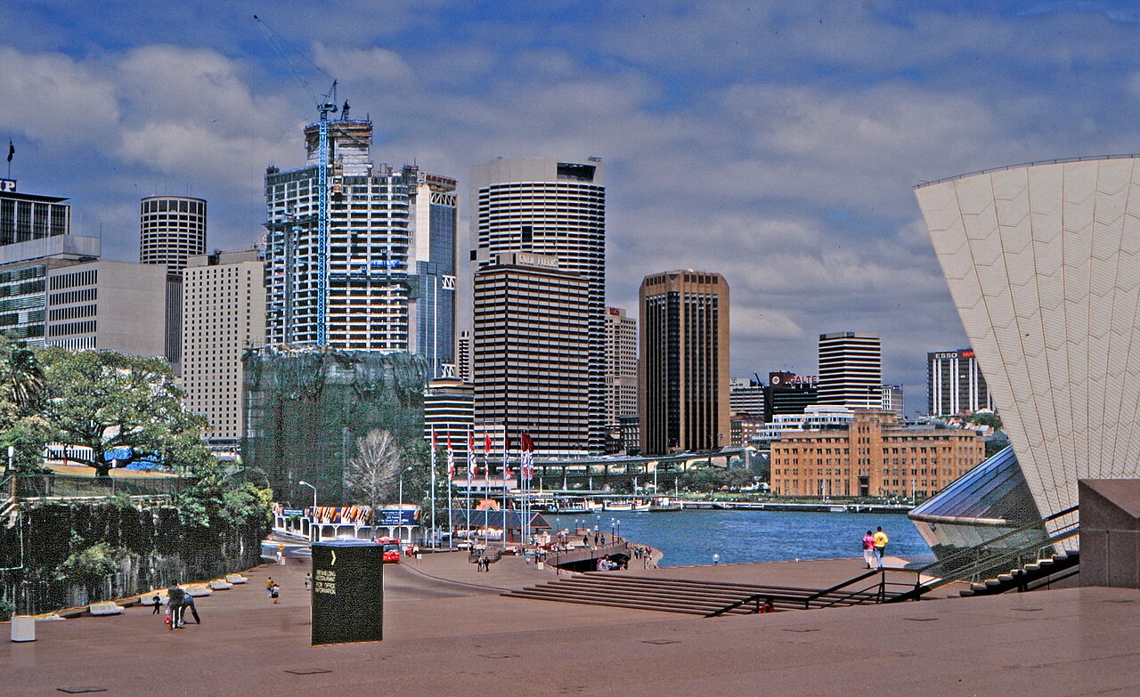
Sydney is divided by a drowned harbour, steep headlands and long coastal corridors. Circular Quay anchors the Opera House, The Rocks and harbour crossings, while the central business district runs south toward Town Hall and Darling Harbour. Bondi and the eastern beaches occupy a different corridor; Manly begins with a harbour crossing. The city's geography makes transport choices part of the sightseeing plan.
Ranked by importance — sitelinks, pageviews and heritage status, not editor preference.
50 places match
Category
Typical visit duration
Source: OpenStreetMap contributors, Wikidata ·
Begin at Circular Quay for the Opera House, The Rocks and the harbour edge, then continue south through the city only if the day's museums fit. Darling Harbour forms a western loop from the central grid. Give Bondi and the eastern beaches their own route, and make Manly a ferry-led outing. The Blue Mountains are a regional rail day, not an addition to a central afternoon.
Checked 2026-08-26
Transport for NSW coordinates metro, trains, buses, ferries and light rail, but each mode answers a different piece of Sydney's geography. Ferries serve harbour destinations, rail handles long urban and regional corridors, and light rail or buses connect areas away from heavy rail. Walk within The Rocks, the central grid or one beach district. Check live service information before relying on a harbour or outer-suburban return.
Checked 2026-08-26
Sydney has no single officially recorded stay length. Cover Circular Quay, The Rocks and the central city first, then budget separate time for an eastern-beaches route, Manly or a regional excursion.
Group the Opera House and The Rocks around Circular Quay. Continue through the central grid to Darling Harbour on another loop, and avoid combining Bondi with Manly merely because both are coastal names.
Choose among metro, train, bus, ferry and light rail according to the corridor. Transport for NSW publishes the current journey and disruption information; harbour crossings should be checked like any other scheduled service.
Circular Quay, The Rocks and much of the central grid connect well on foot. Harbour water, steep approaches and the distance to the beaches prevent the wider destination from becoming one continuous walk.
Manly depends on a harbour crossing, the eastern beaches use a different urban corridor, and the Blue Mountains require a regional journey. Check the final workable return for whichever outward trip is chosen.
Set your days, your pace and the hours you actually want to be out. The planner works around closing days and travel time, and leaves room to eat.