Western Australian Botanic Garden
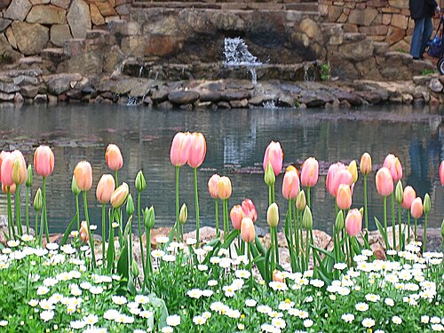
Kings Park and Botanic Garden is a major parkland in Perth, Western Australia. It occupies a prominent position on the western edge of the central business district, overlooking the Swan River.
- Must see
- Nature site
Language · 11 published
City guide · Australia
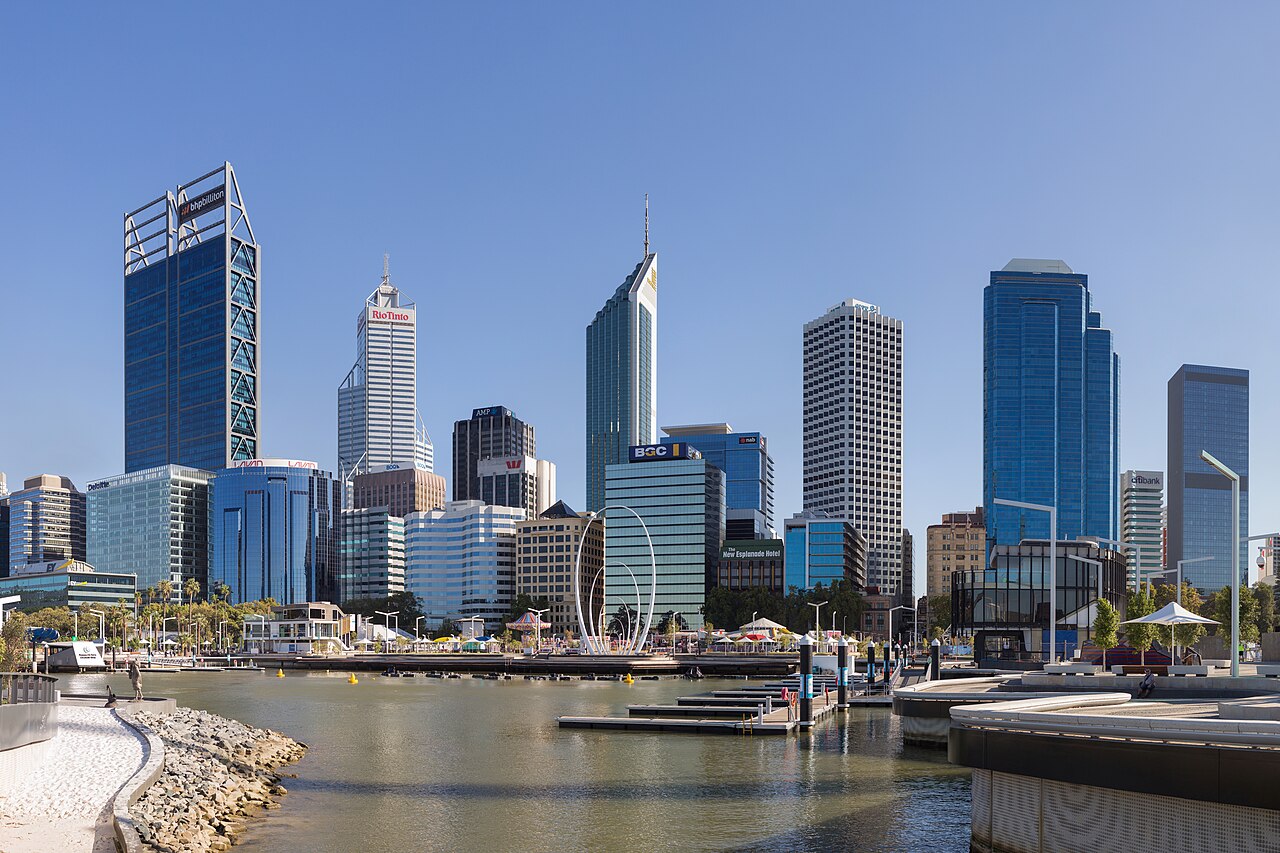
Perth's centre and Elizabeth Quay sit beside the Swan River, with Kings Park rising immediately to the west. Fremantle is a separate historic port at the river mouth, and the Indian Ocean beaches form another north-south chain beyond the centre. Rottnest Island depends on a ferry crossing. These axes make Perth a destination of linked bases rather than a single continuous sightseeing zone.
Ranked by importance — sitelinks, pageviews and heritage status, not editor preference.
50 places match
Category
Typical visit duration
Kings Park and Botanic Garden is a major parkland in Perth, Western Australia. It occupies a prominent position on the western edge of the central business district, overlooking the Swan River.
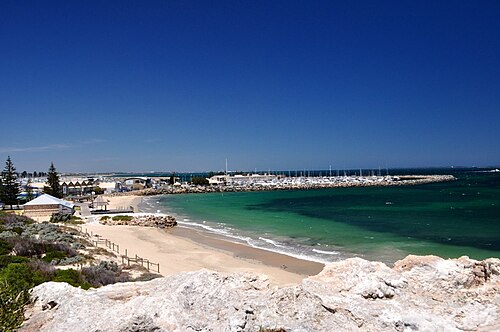
Cottesloe Beach is a coastal beach located in the western suburbs of Perth, Western Australia. It sits along the Indian Ocean shoreline and forms part of the metropolitan area's beach network.
Scarborough Beach is a prominent coastal destination within the Perth metropolitan area, located along the Indian Ocean shoreline. The beach forms part of the broader Scarborough precinct, which has undergone significant redevelopment in recent decades.
Esplanade Park Fremantle is a public park located in the port city of Fremantle, part of the Perth metropolitan area in Western Australia.
Bathers Beach is a coastal area in Fremantle, the port city at the mouth of the Swan River within the greater Perth metropolitan region of Western Australia.
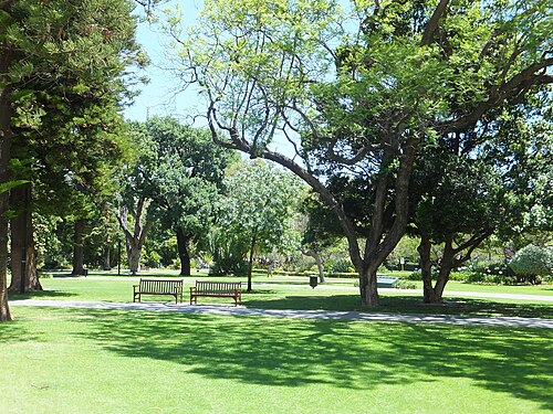
Supreme Court Gardens is a public park located in the central business district of Perth, Western Australia. The gardens sit adjacent to the Supreme Court of Western Australia building, forming part of the city's significant heritage precinct.
Stirling Gardens is a public garden in Perth, Western Australia. It is one of the heritage landmarks in the city and appears on the curated metropolitan visitor ranking from the shared fact pack.
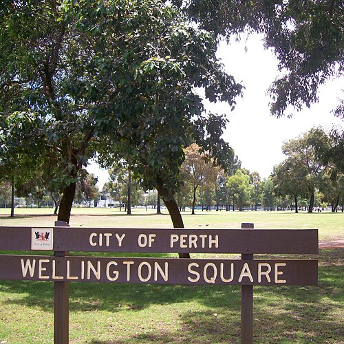
Wellington Square is a public open space located in Perth, Western Australia. The square functions as urban green space within the metropolitan area, serving as a recreational and gathering place for residents and visitors.
Bold Park is a significant urban bushland reserve located in the western suburbs of Perth, Western Australia.
Trigg Beach is a coastal beach located in the northern suburbs of Perth, Western Australia. It forms part of the metropolitan coastline along the Indian Ocean and is known for its exposed reef and surf breaks.
Mettams Pool is a natural swimming spot located along Perth's coastline. It forms part of the metropolitan beach environment that draws visitors seeking sheltered ocean swimming experiences.
Coogee Beach is a coastal beach located in the Perth metropolitan area of Western Australia. It sits within the broader Cockburn region south-west of Perth's central business district.
Point Walter Reserve is a riverside parkland and beach area located along the Swan River in Perth, Western Australia. The reserve features a sandy beach that extends into the river, creating a distinctive sandbar formation.
Bicton Baths is a swimming and recreational facility located in the Perth metropolitan area along the Swan River. The site serves as a popular local destination for water-based activities and community leisure.
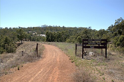
John Forrest National Park is a protected area in the Perth metropolitan region of Western Australia. It is one of the oldest national parks in the state, established in 1900.
Lesmurdie Falls National Park is a protected natural area within the metropolitan region of Perth, Western Australia.
Araluen Botanic Park is a botanic garden located in the Perth metropolitan region of Western Australia. The park occupies a valley setting within the Darling Range, characterised by its distinctive terraced gardens and cool-climate plant collections.
Marmion Marine Park is a protected marine area located off the coast of Perth, Western Australia. Established to conserve marine ecosystems, the park encompasses coastal waters, reefs, and islands that support diverse marine life.
Source: OpenStreetMap contributors, Wikidata ·
Use one day for the central streets, Elizabeth Quay and Kings Park, allowing for the hill between river level and the park. Give Fremantle its own port-focused block and combine a beach only when the transport sequence remains direct. Rottnest Island needs a reserved departure and return plan, so it should never be added after a full morning of central sightseeing.
Checked 2026-08-26
Transperth trains and buses carry the longer metropolitan journeys, while walking works around the centre, Kings Park, Fremantle or an individual beach precinct. Ferry travel has its own departure constraints and should be checked separately from the urban journey planner. Review the current route, service alert and final practical return before leaving for the coast, an outer suburb or an island connection.
Checked 2026-08-26
No official city-wide stay length is recorded. Prioritise central Perth, Elizabeth Quay and Kings Park, then add Fremantle, a beach corridor or Rottnest according to the number of complete travel days available.
Group the centre, riverfront and Kings Park. Treat Fremantle as a port day and choose coastal stops that fit its corridor. Keep Rottnest for a ferry-based itinerary with a confirmed return.
Use Transperth trains and buses between metropolitan precincts, then walk within the chosen area. Ferry journeys require their own timetable check and should not be inferred from the land-based journey planner.
Central Perth and Elizabeth Quay connect on foot, and Kings Park is nearby but uphill. Fremantle, the beaches and ferry terminals are separate destinations reached by public or scheduled transport.
Plan Rottnest around booked sailings and check the return before departure. Fremantle and outer coastal stops also need route-specific checks because they do not form one walkable extension of central Perth.
Set your days, your pace and the hours you actually want to be out. The planner works around closing days and travel time, and leaves room to eat.