


.jpg)

109 min walk
Homestead bar
- Notable
- Nightlife venue
Language · 1 published
Nature site · Perth
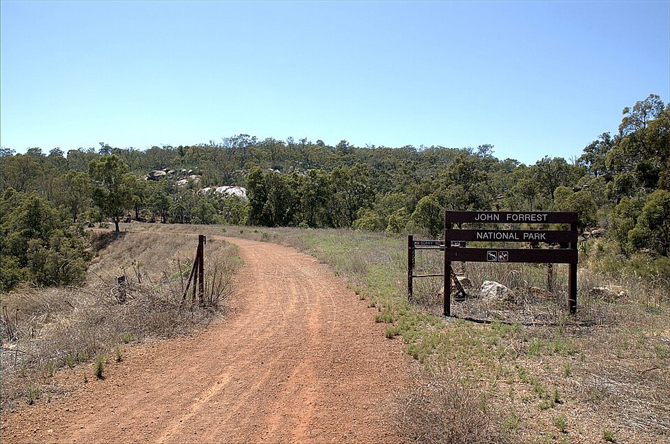
John Forrest National Park is a protected area in the Perth metropolitan region of Western Australia. It is one of the oldest national parks in the state, established in 1900. The park lies within the Darling Range and encompasses significant areas of jarrah forest, granite outcrops, and seasonal waterfalls. It is named after Sir John Forrest, the first Premier of Western Australia. The park serves as a recreational destination for bushwalking, cycling, and nature observation within accessible reach of the city centre.
Checked 2026-08-26
The park contains natural features including Hovea Falls and National Park Falls, which flow seasonally following rainfall. Granite outcrops and boulders are scattered throughout the terrain. The vegetation consists predominantly of jarrah and marri forest with understory shrubs. Walking trails of varying lengths traverse the landscape. Wildlife includes native birds, kangaroos, and other marsupials. The former Swan View Railway tunnel, now part of a heritage trail, runs through the park. Picnic facilities are available at designated areas. The landscape reflects the characteristic ecology of the Darling Scarp.
Checked 2026-08-26
Visitors typically allocate a half-day to full-day for exploring John Forrest National Park. Shorter visits of two to three hours allow for a selected walk and picnic stop. Those undertaking longer hiking circuits or combining multiple activities may spend five to six hours. The duration depends on fitness level, chosen trails, and interest in photography or wildlife observation. Some visitors return on multiple occasions to experience different sections of the park across seasons. The proximity to Perth makes flexible scheduling practical for both brief and extended visits.
Checked 2026-08-26

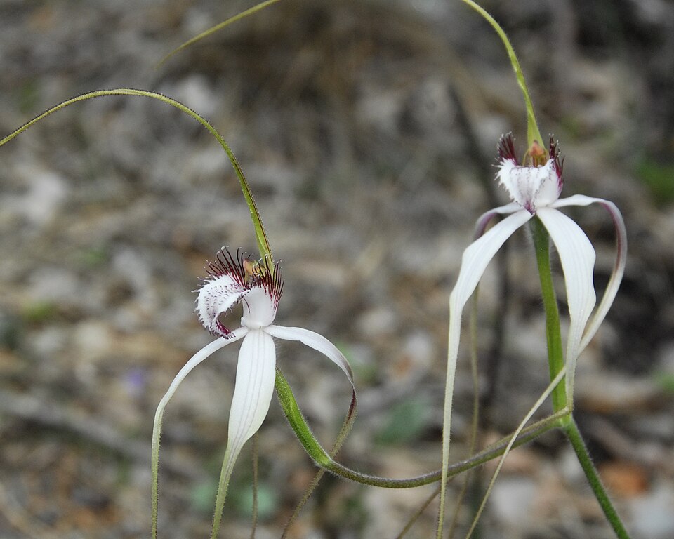
The park can be visited throughout the year, with each season offering different conditions. Spring brings wildflower displays in the jarrah forest. Winter and early spring generally provide the best chance of flowing waterfalls. Summer days can be hot and require adequate preparation. Operator-confirmed hours are Not recorded pending review. Visitors should verify current access conditions before travelling, as seasonal factors including fire risk may affect trail availability. Early morning visits offer cooler temperatures and increased wildlife activity regardless of season. John Forrest National Park also earns time in a perth itinerary because John Forrest National Park is included in the curated metropolitan visitor ranking from the shared fact pack. Production has no city POI pool, so no identity or coordinate is inferred. Its value becomes clearer when the stop is compared with the surrounding streets and the other ranked places nearby.
Checked 2026-08-26
Entry to John Forrest National Park may require payment of a vehicle or visitor fee as per Western Australian national park regulations. Concession and standard rates typically apply in the state system. Annual park passes may offer value for frequent visitors. Operator-confirmed prices are Not recorded pending review. Payment methods and exact fee structures should be verified through official channels prior to arrival. Some facilities or activities within the park may involve separate charges. Visitors should carry appropriate payment options and confirm current requirements.
Checked 2026-08-26
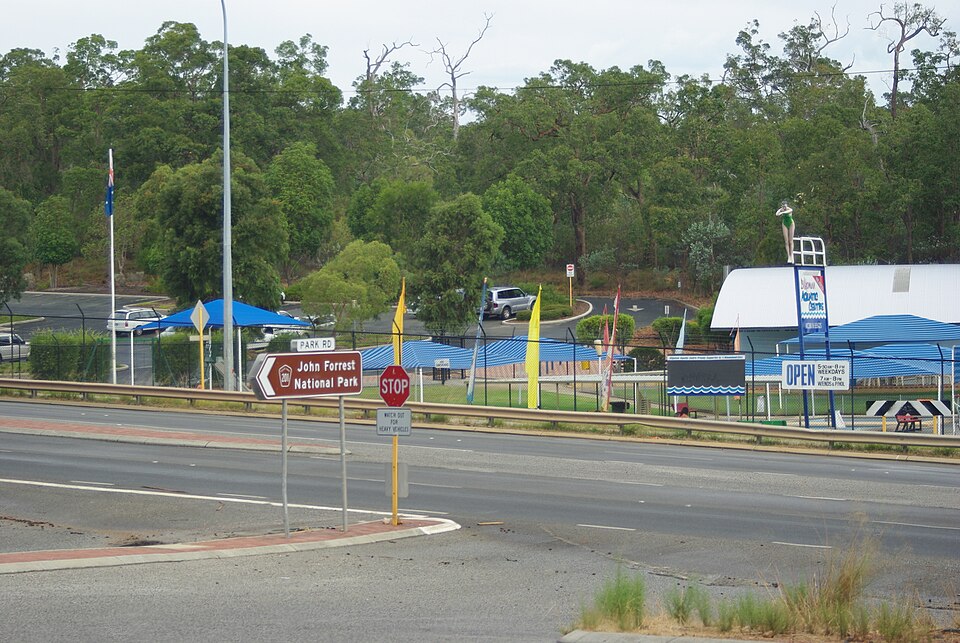
John Forrest National Park is located east of Perth, accessible via the Great Eastern Highway and local roads. Private vehicle is the most common transport method, with parking available at designated areas. Public transport options are limited; visitors should research current bus or train services to nearby localities. The John Forrest National Park train station on the Transperth network provides access to the park's western edge, though walking distances apply to reach trailheads. Cycling from the metropolitan area is possible for experienced riders. Road conditions vary and should be checked.
Checked 2026-08-26
Visitors should carry sufficient water, as natural sources are not suitable for drinking. Mobile phone coverage may be patchy in valleys and remote trail sections. Snakes are present and active in warmer months; appropriate footwear and awareness are essential. Granite surfaces can be slippery when wet. The terrain includes steep sections requiring moderate fitness. Weather conditions can change rapidly. Informing others of intended routes and expected return times is prudent. Fire restrictions may apply seasonally. Sun protection is necessary even on overcast days in the Australian climate.
Checked 2026-08-26
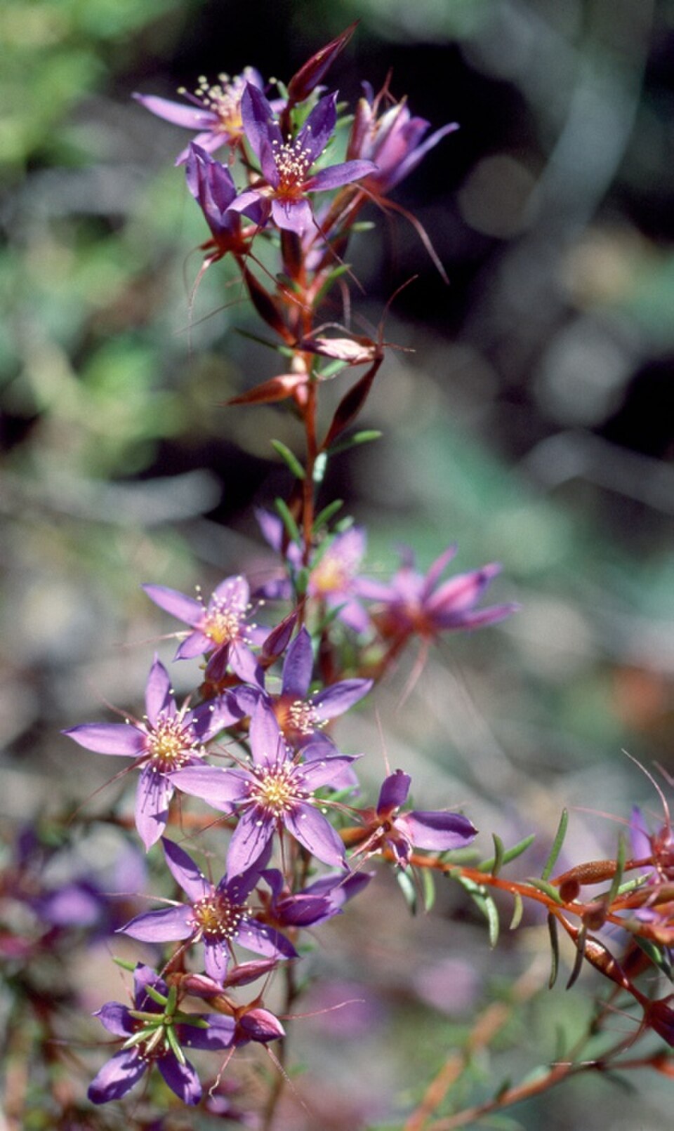
The park offers subjects including forest landscapes, granite formations, and seasonal waterfalls. Morning and late afternoon light penetrates the jarrah canopy effectively. Overcast conditions reduce harsh shadows for forest photography. The railway tunnel presents unique low-light challenges requiring longer exposures or artificial lighting. Wildflower photography is productive in spring months. Waterfall images depend on seasonal flow. Wildlife photography requires patience and appropriate lenses. Tripods are useful for low-light forest and tunnel environments. Respect for habitat and maintaining distance from animals should guide all photographic activity in the protected area.
Checked 2026-08-26
The park offers family-appropriate picnic areas and shorter walking trails. Parents should assess individual trail difficulty and supervise children near water features and steep terrain.
Standard national park regulations typically restrict domestic animals. Visitors should verify current pet policies through official channels before bringing animals.
Water pools exist at waterfall bases seasonally. Safety conditions and permitted activities should be confirmed on-site, as water quality and flow vary significantly.
Camping facilities are not a documented feature of this park. Visitors seeking overnight accommodation should investigate options in surrounding localities.
Certain trails permit cycling. Riders should confirm designated routes and any seasonal closures, as not all walking trails accommodate bicycles.
Contact emergency services on 000. Due to variable mobile coverage, visitors should consider alternative communication methods and inform others of their planned route.
Loading the interactive map…
The interactive map could not be loaded.
Last updated:
Source: OpenStreetMap contributors, Wikidata ·