
.jpg)


.jpg)

1029 min walk
Abner Cloud House
- High · Heritage site
- Historic monument
Language · 1 published
Historic monument · Washington

The Chesapeake and Ohio Canal National Historical Park preserves a 184.5-mile canal that operated from 1828 to 1924, stretching from Georgetown in Washington, D.C. to Cumberland, Maryland. The park protects the historic waterway, towpath, locks, lockhouses, and related structures that once served as a vital transportation route for coal and goods between the Potomac River and the Ohio River valley before railroads made the canal obsolete. Chesapeake and Ohio Canal National Historical Park also earns time in a washington dc itinerary because Exact production identity relation/6077602 is assigned through pois.city_place_id; local and English names plus coordinates were copied without approximation. Its value becomes clearer when the stop is compared with the surrounding streets and the other ranked places nearby.
Checked 2026-08-26
The park contains the historic canal prism, 74 lift locks, 11 aqueducts, 7 guard locks, hundreds of historic structures, and the original towpath now used for recreation. Lockhouses stand at intervals along the route. The Great Falls Tavern Visitor Center in Maryland offers exhibits. The canal passes through varied landscapes including the Potomac River gorge, agricultural lands, and the Allegheny Mountains, with numerous access points and trail connections throughout its length. A flexible visit lets travellers connect Chesapeake and Ohio Canal National Historical Park with the rest of the day without treating one room, viewpoint or photograph as the whole experience. The useful pace depends on personal interest and conditions on arrival.
Checked 2026-08-26

Visitors typically spend between one hour and multiple days depending on their interests. Short visits to specific access points like Georgetown or Great Falls allow brief walks along the towpath. Section hiking or biking requires partial days. Through-hiking or cycling the entire 184.5-mile distance demands several days of continuous travel. The towpath accommodates self-paced exploration, permitting visitors to determine their own duration based on fitness level, available time, and desired depth of engagement with the historic features.
Checked 2026-08-26

The park offers year-round outdoor recreation, with each season presenting different conditions. Spring brings wildflowers and moderate temperatures. Summer delivers warm weather suitable for water-based activities though humidity can be high. Fall provides colorful foliage along the wooded corridor. Winter offers solitude with possible snow and ice on the towpath. Operator-confirmed hours for visitor facilities are Not recorded pending review. Visitors should verify current conditions, as weather events frequently cause flooding and temporary closures along sections of the towpath.
Checked 2026-08-26
The National Park Service administers this federal park. Certain activities may require permits or fees, particularly for commercial use or organized groups. Some visitor centers or specific programs may have associated costs. Operator-confirmed prices are Not recorded pending review. Visitors should consult the official National Park Service website or contact park offices directly for current fee structures, pass requirements, and any reservation systems that may apply to camping, boating, or special access arrangements along different sections of the canal corridor.
Checked 2026-08-26
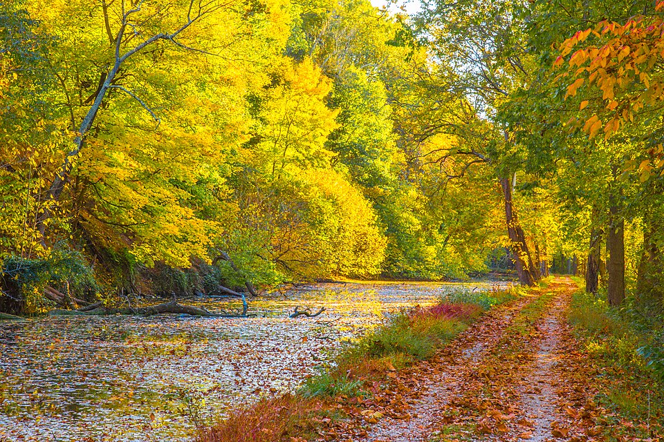
The park extends through Washington, D.C., Maryland, and West Virginia with numerous access points. In Washington, the Georgetown section reaches the Potomac River waterfront. The Capital Crescent Trail connects to the towpath. Great Falls is accessible from Maryland Route 189. Multiple trailheads and parking areas exist at intervals along the entire route. Public transportation serves some urban access points, while rural sections require private vehicle. Visitors should identify their desired section and research specific access routes, as the linear park spans nearly 185 miles with varying transportation options.
Checked 2026-08-26
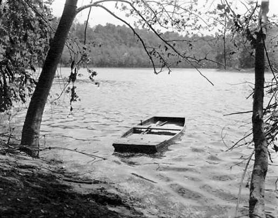
The towpath surface varies from packed earth to crushed stone, with uneven conditions, mud, and standing water possible. Flooding from the Potomac River can submerge sections without warning. Ticks and mosquitoes inhabit wooded and waterside areas. Limited services exist between developed access points, requiring self-sufficiency for long distances. No guardrails protect the canal prism edge in many locations. Cyclists and pedestrians share the narrow path. Remote sections have limited cell coverage. Visitors should carry water, supplies, and navigation tools appropriate for their planned distance and inform others of their itinerary.
Checked 2026-08-26

The canal offers diverse photographic subjects including historic stone locks, calm water reflections, wooden lock gates, the Potomac River gorge at Great Falls, seasonal foliage, and preserved 19th-century structures. Early morning and late afternoon provide favorable light along the tree-lined towpath. The linear layout permits repeated visits to capture changing conditions. Wildlife including birds and waterfowl frequent the corridor. Visitors should respect private property boundaries adjacent to the park, avoid climbing fragile historic structures for vantage points, and exercise caution near water edges while positioning equipment.
Checked 2026-08-26
Not recorded. Sections retain water while others are dry. Conditions vary by location and season.
Not recorded. Visitors should consult official National Park Service sources for current camping regulations and designated locations.
Not recorded. The towpath accommodates multiple uses, but visitors should verify current regulations for specific activities and any seasonal restrictions.
Not recorded. Surface conditions vary significantly along the 184.5-mile route. Visitors should research specific accessible sections and current trail conditions.
Not recorded. National Park Service properties typically have pet regulations, but visitors should confirm current rules for leash requirements and restricted areas.
Not recorded. Water levels and navigability vary by section. Visitors should consult official sources for current boating permissions, launch points, and any required permits.
Loading the interactive map…
The interactive map could not be loaded.
Last updated:
Source: OpenStreetMap contributors, Wikidata ·