Smart Self-Managed Tours

Country guide

New Zealand

A photograph of New Zealand
Photograph · Michal Klajban · CC BY-SA 4.0

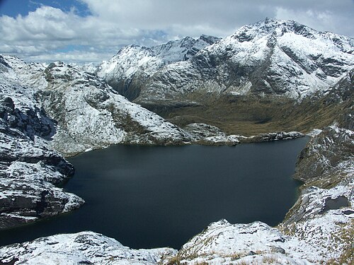
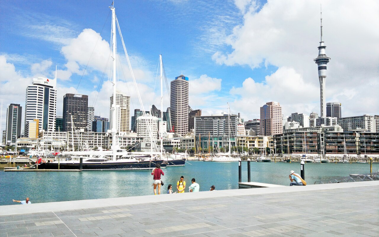
New Zealand runs more than 1,600 kilometres along a north-north-east axis, and its 5,355,150 people as of August 2026 are spread across 263,310 km2 of it. There are two main islands and over 700 smaller ones; the Cook Strait between the big two is 22 kilometres across at its narrowest. Auckland is the largest city and where most visitors land, Wellington is the capital and the crossing point south. The South Island carries the Southern Alps, raised by tectonic uplift and volcanism, and its road distances are consistently longer than the map makes them look.

Cities

Every city catalogued in this country so far, ranked by how much there is to see.

Practical information

Language spoken
English, Māori and New Zealand Sign Language
National practical orientation; regional and minority languages may also be used
Dialling code
+64
International calling code; local area and mobile prefixes still apply
Currency
New Zealand dollar (NZD)
Use the official local currency; card acceptance varies by place
Emergency number
111
Use only for an emergency; tourist assistance may use a separate number
Plug type
Type I · 230 V
Check that chargers support the recorded voltage before using an adapter
Tap water
Safe from treated public supplies
Follow local notices for remote or untreated supplies

Planning a visit

  1. January: no seasonality data recorded
  2. February: no seasonality data recorded
  3. March: no seasonality data recorded
  4. April: no seasonality data recorded
  5. May: no seasonality data recorded
  6. June: no seasonality data recorded
  7. July: no seasonality data recorded
  8. August: no seasonality data recorded
  9. September: no seasonality data recorded — this month
  10. October: no seasonality data recorded
  11. November: no seasonality data recorded
  12. December: no seasonality data recorded

Top things to see

Ranked by importance — sitelinks, pageviews and heritage status, not editor preference.

  1. North Head North Head
    04 20 min

    North Head

    Maungaūika / North Head

    Maungauika North Head is a volcanic summit and historic military reserve on Auckland's North Shore. The site occupies a prominent headland at the entrance to Waitemata Harbour, formed by volcanic activity.

    • High
    • Viewpoint
    • Auckland
  2. Hot Water Beach
    05 1 hour

    Hot Water Beach

    Te Puia / Hot Water Beach

    • High
    • Nature site
    • Auckland
  3. Kiwitea Street
    09 1 hour

    Kiwitea Street

    Freyberg Field

    • High
    • Nature site
    • Auckland
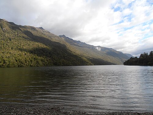
  4. Lake Gunn
    10 1 hour

    Lake Gunn

    Ōtāpara / Lake Gunn

    • High
    • Nature site
    • Queenstown
  5. Ōwairaka / Mount Albert
    12 20 min

    Ōwairaka / Mount Albert

    Ōwairaka / Te Ahi-kā-a-Rakataura / Mount Albert

    • High
    • Viewpoint
    • Auckland
  6. Roys Peak
    14 20 min

    Roys Peak

    • High
    • Viewpoint
    • Queenstown
  7. Anawhata
    16 1 hour

    Anawhata

    Anawhata Beach

    • High
    • Nature site
    • Auckland
  8. Ash Hill
    19 20 min

    Ash Hill

    • High
    • Viewpoint
    • Auckland
  9. Matukutūruru
    20 20 min

    Matukutūruru

    Matukutūruru / Wiri Mountain

    • High
    • Viewpoint
    • Auckland
  10. Mount Hobson
    22 20 min

    Mount Hobson

    Maunga Hirakimatā / Mount Hobson

    • High
    • Viewpoint
    • Auckland
  11. Mount Saint John
    23 20 min

    Mount Saint John

    Te Kōpuke / Tītīkōpuke / Mount Saint John

    • High
    • Viewpoint
    • Auckland
  12. Puketāpapa
    25 20 min

    Puketāpapa

    Puketāpapa / Pukewīwī / Mount Roskill

    • High
    • Viewpoint
    • Auckland
  13. Takarunga / Mount Victoria Takarunga / Mount Victoria
    26 20 min

    Takarunga / Mount Victoria

    Takarunga, also known as Mount Victoria, is a volcanic cone summit in Devonport on Auckland's North Shore. The Maunga Authority manages this heritage landscape as part of the Tūpuna Maunga collective of Auckland's volcanic cones.

    • High
    • Viewpoint
    • Auckland
  14. Lake Alta
    29 1 hour

    Lake Alta

    • High
    • Nature site
    • Queenstown
  15. Kitekite Falls
    42 1 hour

    Kitekite Falls

    Kitakita Falls

    • High
    • Nature site
    • Auckland
  16. Wiri Lava Cave
    44 1 hour

    Wiri Lava Cave

    Wiri Lava Cave Scientific Reserve

    • High
    • Nature site
    • Auckland
  17. Kohuora
    47 20 min

    Kohuora

    • High
    • Viewpoint
    • Auckland
  18. Mount Cambria
    49 20 min

    Mount Cambria

    Takaroro / Mount Cambria

    • High
    • Viewpoint
    • Auckland
  19. Pukaki Lagoon
    52 20 min

    Pukaki Lagoon

    Pūkaki Lagoon

    • High
    • Viewpoint
    • Auckland
  20. Purchas Hill
    53 20 min

    Purchas Hill

    Purchas Hill / Te Tauoma

    • High
    • Viewpoint
    • Auckland
  21. Diamond Lake Diamond Lake
    60 1 hour

    Diamond Lake

    Ōturu / Diamond Lake

    • High
    • Nature site
    • Queenstown
  22. Lake Fergus Lake Fergus
    65 1 hour

    Lake Fergus

    Pupapa / Lake Fergus

    • High
    • Nature site
    • Queenstown
  23. Otama Beach
    79 1 hour

    Otama Beach

    Ōtama Beach

    • High
    • Nature site
    • Auckland
  24. Tank Farm
    85 1 hour

    Tank Farm

    Tuff Crater Reserve

    • High
    • Nature site
    • Auckland
  25. Victoria Park
    91 1 hour

    Victoria Park

    Waiatarau / Victoria Park

    • High
    • Nature site
    • Auckland

Source: OpenStreetMap contributors, Wikidata ·

Common questions

How long should a first trip to New Zealand be?

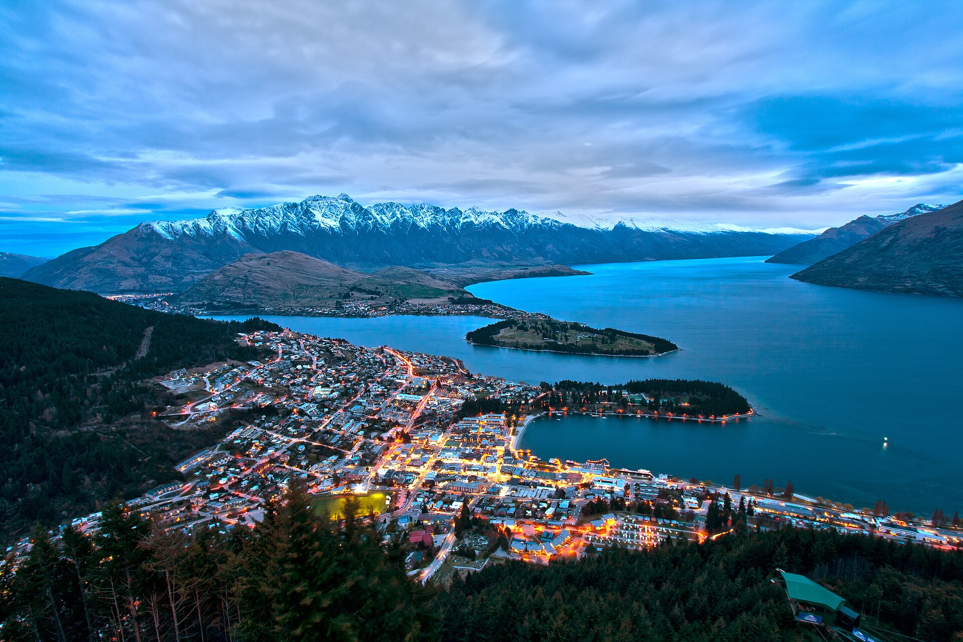
Two weeks is a sensible minimum for a limited North-and-South-Island combination; ten days is better spent on one island. Auckland works as the largest gateway and Queenstown as a southern base, but scenic roads and ferry or flight transitions make ambitious mileage deceptive.

What entry documents are needed for New Zealand?

Immigration New Zealand determines whether a traveller needs a Visitor Visa, an NZeTA or another permission. Verify the passport, purpose and arrival declaration requirements on its official service before departure; airline check-in is not the place to discover a missing authority.

What is the best way to travel around New Zealand?

Domestic flights link major regions, the Cook Strait ferry joins the islands, and coaches, rental cars or selected scenic trains cover ground routes. Driving is on the left, and rural journey estimates should allow for one-lane bridges, weather and viewpoint stops.

When is a practical time to visit New Zealand?

December to February suits many summer itineraries, while ski travel targets winter and shoulder seasons can be quieter. Alpine weather changes quickly in every season, so plan around the principal hike, pass or ferry rather than relying on one forecast for both islands.

What money and payment basics apply in New Zealand?

New Zealand uses the New Zealand dollar. Cards are routine in towns, but a backup method is prudent for remote fuel, small operators or service outages; confirm whether accommodation, ferry and activity prices include booking or card charges.

What practical safety details should I save for New Zealand?

Dial 111 for police, fire or ambulance; the electrical standard is Type I at 230 V. Treated public tap supplies are recorded as safe, while huts and remote sources need their own posted guidance; carry current road and weather information on long drives.