Vondelpark
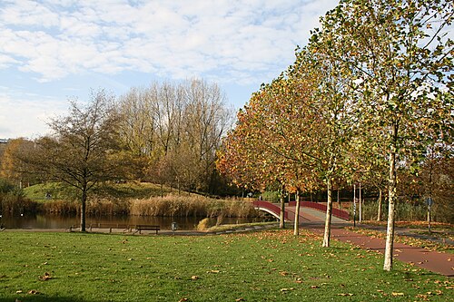
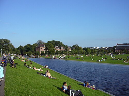
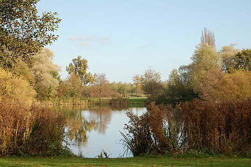
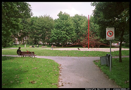
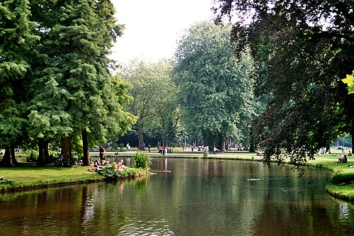
Vondelpark is Amsterdam's best known city park, a long ribbon of lawn, water and curving path that runs from the Stadhouderskade beside the Leidseplein west to the Amstelveenseweg.
- Must see
- Nature site
Language · 1 published
City guide · Netherlands
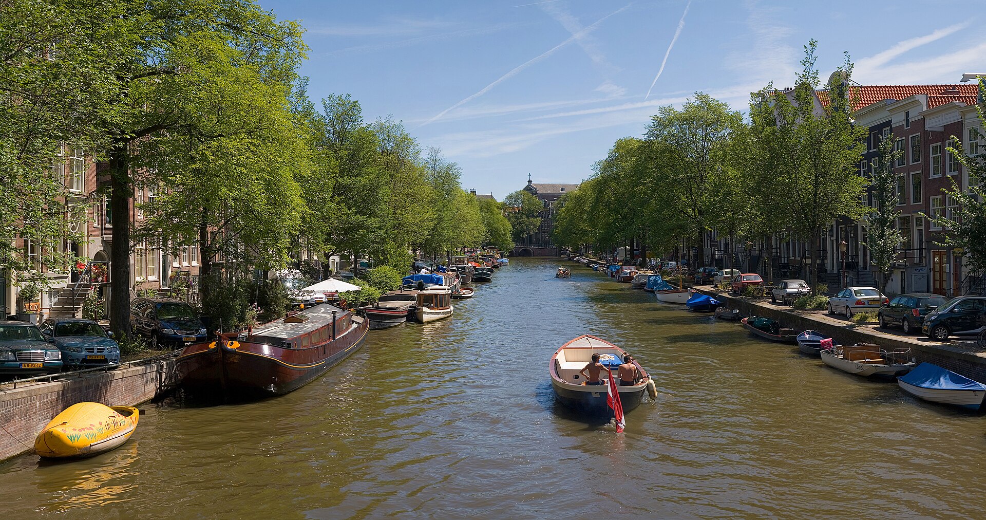
Amsterdam is the constitutional capital of the Netherlands, organised around a historic centre of canals, bridges and narrow streets. The seventeenth-century canal ring shapes the central visitor experience, while major museums cluster south around Museumplein and ferries connect Centraal Station with Amsterdam Noord. The city is compact but not confined to the old centre: Jordaan, De Pijp, Plantage, Westerpark, Oost and the redeveloped northern waterfront each work as distinct neighbourhood visits.
Ranked by importance — sitelinks, pageviews and heritage status, not editor preference.
100 places match
Category
Typical visit duration
Vondelpark is Amsterdam's best known city park, a long ribbon of lawn, water and curving path that runs from the Stadhouderskade beside the Leidseplein west to the Amstelveenseweg.
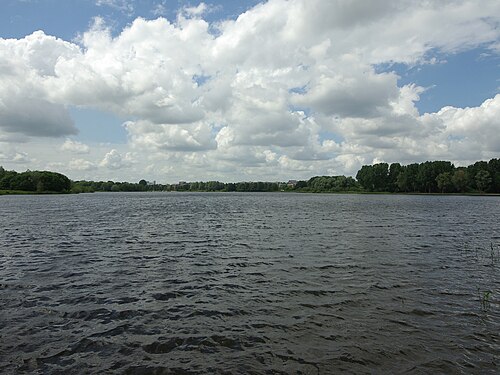
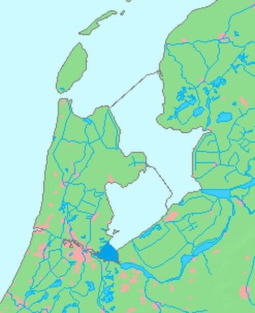
IJmeer is a body of water located to the east of Amsterdam, forming part of the IJsselmeer region in the Netherlands. The name derives from the IJ, the former bay of the Zuiderzee that connects Amsterdam to the open water.
Markermeer is a large freshwater lake situated to the east of Amsterdam, forming part of the IJsselmeer region in the Netherlands. It was created in 1976 when the Houtribdijk dam separated it from the IJsselmeer.
Hortus Botanicus Amsterdam is one of the oldest botanical gardens in the world, established in 1638. Originally founded as a medicinal herb garden for doctors and apothecaries, it has evolved into a significant scientific and cultural institution.
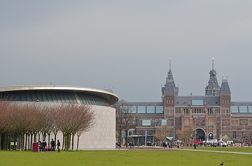
Museumplein is a large public square in Amsterdam, Netherlands, situated in the Museumkwartier neighbourhood of the Oud-Zuid district. The area serves as a cultural hub, connecting three major national museums: the Rijksmuseum, the Van Gogh Museum, and the Stedelijk Museum.
Amsterdamse Bos is a large urban park situated on the southwestern edge of Amsterdam, Netherlands. The park was created through extensive land reclamation and planting efforts during the early-to-mid twentieth century, transforming former waterlogged terrain into accessible green space.
Source: OpenStreetMap contributors, Wikidata ·
Start with Centrum around Dam Square and the medieval streets, then read the canal belt as widening arcs around it. Jordaan lies west of the Prinsengracht, while the Museum Quarter and De Pijp sit south of the central canals. Plantage and the eastern islands extend the cultural route eastward. Amsterdam Noord is across the IJ rather than across another canal and is reached from the Centraal Station waterfront. The municipality divides Amsterdam into seven districts plus the Weesp city area, but visitor neighbourhood names are usually more useful than administrative boundaries.
Checked 2026-08-26
Walk through the central canals and use GVB trams, metros, buses and ferries for longer links. GVB accepts contactless check-in and check-out through OVpay as well as its own visitor tickets. Cycling is part of daily transport, but unfamiliar riders should not treat busy cycle lanes as a sightseeing attraction; public transport is the calmer first choice. Ferries are particularly useful for Amsterdam Noord, while trams connect the centre with Museumplein and surrounding neighbourhoods. Always check in and out with the same card or device.
Checked 2026-08-26
A fixed stay length is not recorded. Organise time around Centrum and the canal ring, the Museum Quarter, then one or more outer neighbourhoods such as Noord, De Pijp or Oost.
Centrum and the canal ring form the main historic core. Jordaan lies to the west, Museumplein to the south, and Amsterdam Noord sits across the IJ from Centraal Station.
GVB supports OVpay. Check in when boarding or entering the system and check out at the end using the same contactless card, phone or watch.
No. Walking and GVB services cover the visitor city well. Cycling is practical for confident riders, but busy local cycle traffic makes it a poor default for an unfamiliar visitor.
Use the GVB ferries from the waterfront behind Centraal Station. Noord is across the IJ and should be planned as a separate neighbourhood cluster rather than part of a canal-ring walk.
Set your days, your pace and the hours you actually want to be out. The planner works around closing days and travel time, and leaves room to eat.