.jpg)
01
45 min
Sewell
- Must see
- Historic monument
Language · 11 published
City guide · Chile
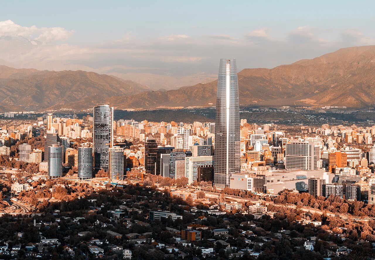
Santiago fills a broad metropolitan basin beneath the Andes, with visitor areas distributed across several communes. The historic centre begins at Plaza de Armas and extends through the civic district. Lastarria and Bellas Artes form a cultural corridor nearby, Bellavista lies across the river, and Providencia continues east toward modern business districts. Parks and viewpoints are connected by transit, but mountain and wine-country excursions belong to separate days.
Ranked by importance — sitelinks, pageviews and heritage status, not editor preference.
50 places match
Category
Typical visit duration
Source: OpenStreetMap contributors, Wikidata ·
The compact historic core includes Plaza de Armas, civic buildings, pedestrian streets and central museums. Lastarria, Bellas Artes and Parque Forestal can be combined on foot, while Bellavista forms a neighbouring but distinct area. Providencia, Ñuñoa, Barrio Italia and eastern districts require Metro or bus connections. Maipo Valley, Cajón del Maipo and ski areas are regional excursions and should not be mixed into a dense central-city route.
Checked 2026-08-26
Santiago's integrated public transport combines Metro and urban buses, with commuter rail serving selected corridors. Use Metro for longer moves between the centre, Providencia and other connected communes, then walk within each neighbourhood. Check official transport information for current routes and payment requirements. Mountain, vineyard and rural journeys use separate services and may be affected by weather or road conditions, so confirm those arrangements independently.
Checked 2026-08-26
the historic centre, Lastarria-Bellas Artes, Bellavista and Providencia are distinct clusters
No fixed stay length is recorded; select urban clusters before adding regional excursions.
Metro and urban buses connect communes, with walking best inside each neighbourhood.
Cajón del Maipo and wine valleys are regional road excursions, not central stops.
Combine Lastarria with Bellas Artes and Parque Forestal; plan Bellavista and Providencia separately.
Set your days, your pace and the hours you actually want to be out. The planner works around closing days and travel time, and leaves room to eat.